Install
Stockton, CA 95213 Weather
Current conditions
Observed at Stockton, Stockton Metropolitan Airport · 1 hr ago
Forecast
10-day-
This Afternoon
A chance of rain after 2pm. Cloudy. High near 70, with temperatures falling to around 67 in the afternoon. North northeast wind around 5 mph. Chance of precipitation is 50%. New rainfall amounts less than a tenth of an inch possible.
-
Tonight
A chance of rain. Mostly cloudy. Low around 54, with temperatures rising to around 56 overnight. Southeast wind 0 to 3 mph. Chance of precipitation is 50%. New rainfall amounts less than a tenth of an inch possible.
-
Thursday
Rain likely. Mostly cloudy. High near 69, with temperatures falling to around 67 in the afternoon. South wind around 3 mph. Chance of precipitation is 60%. New rainfall amounts less than a tenth of an inch possible.
National Weather Service forecast updated 3 hrs ago.
Hourly
Hourly forecast- Now69°42%
- 4 PM67°45%
- 5 PM67°34%
- 6 PM67°38%
- 7 PM64°50%
- 8 PM63°48%
- 9 PM61°32%
- 10 PM60°28%
- 11 PM60°22%
- Thu12 AM59°42%
- 1 AM58°46%
- 2 AM57°50%
- 3 AM57°42%
- 4 AM56°22%
- 5 AM56°37%
- 6 AM56°37%
- 7 AM54°43%
- 8 AM56°37%
- 9 AM58°38%
- 10 AM62°38%
- 11 AM63°41%
- 12 PM66°45%
- 1 PM67°53%
- 2 PM67°61%
Daily forecast
Details- TodayOct 21Chance Light Rain50%54°70°
- ThuOct 22Light Rain Likely62%53°69°
- FriOct 23Mostly Sunny45°72°
- SatOct 24Sunny47°74°
- SunOct 25Mostly Sunny48°76°
- MonOct 26Sunny47°74°
- TueOct 27Mostly Sunny47°73°
- WedOct 28Sunny48°75°
- ThuOct 29Cloudy48°76°
Days after the National Weather Service's seven are MET Norway's outlook, a computer model with no forecaster's review.
Radar
Full mapWeather news near Stockton
More weather news-
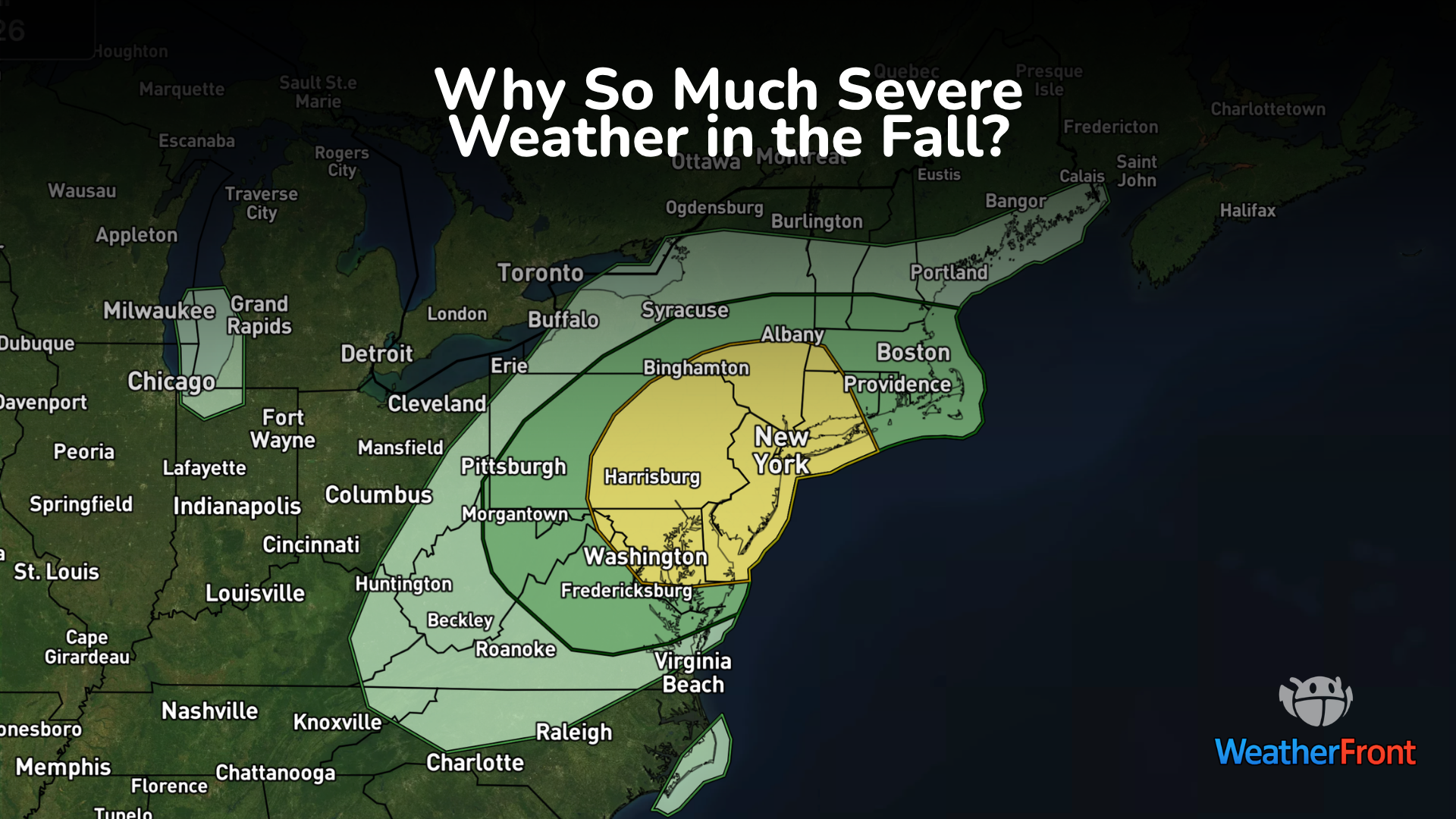 Why Fall Has a Second Severe Weather Season
Tornado warnings probably weren’t what people in Fort Stockton, Texas, had in mind for an October afternoon. But on October 14, storms produced two confirmed tornadoes in the area. No injuries or deaths were reported…
-
 FIRST ALERT WEATHER: A drastic change is on the way
Good morning, and happy Thursday! Cloudy skies and a bit of rain are kicking off the day, though much of the rain has stayed in western Missouri, as expected. Scattered showers and a few thunderstorms are likely this…
-
 FIRST ALERT WEATHER DAY: Heavy rainfall and severe weather threat continues Wednesday
CBS7 FIRST ALERT WEATHER DAY: Heavy rainfall and severe weather threat continues Wednesday Cleanup underway after microburst storm causes major flooding, building damage in Odessa Confirmed tornado moves through Pecos…
-
 Rare severe storm threat targets Southern California while Arizona faces potential egg-sized hail, tornadoes
FLAGSTAFF, Ariz. — Severe thunderstorms blasted parts of Arizona early Wednesday ahead of a rare severe weather threat that will intensify through the day and into the evening. Parts of the state, including Flagstaff…
-
 California's rainy season to arrive with flood threat, tornado risk and Sierra snow
California's wet season is starting off with a bang. The first significant storm of the season is forecast to bring heavy rain to vulnerable burn scars near Big Sur, coastal tornado risk to the Los Angeles area, and a…
-
 Storms descend on Southern California, raising risk of dangerous surf, flooding, debris flows
Rain is anticipated for Southern California on Wednesday into Thursday as the National Weather Service cautioned about potential beach hazards and thunderstorms from Oxnard to the Mexico border. The weather service's…
-
 Rain and Thunderstorms Expected in Southern California with Beach Hazard Warnings
At SSBCrack News, our dedicated editorial team brings you the latest and most reliable updates on Defence, Geopolitics, Military Affairs, Science, and Technology. Driven by a passion for national security and strategic…
-
 Southern California's wild weather swings continue. Next up, rain
Southern California is likely in for a solid dose of rain this week, just days after heat and Santa Ana winds helped fuel several wildfires across the region. Forecasters expect the bulk of the rain to roll into the Los…
-
 Waterspouts possible off Southern California amid stormy weather
Southern California's stormy forecast includes a chance of isolated waterspouts offshore. They may look like tornadoes, but they're not. Our latest explainer breaks down what waterspouts are, how they form over the…
-
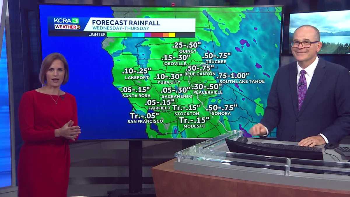 California weather with Dirk & Heather: Showers, thunderstorms and snow
Wednesday and Thursday will be cool and unsettled with scattered downpours. The first rain chances of the new water year are coming up quickly in Northern California! Wednesday and Thursday will be cool, cloudy and at…
Air quality
Acceptable. Unusually sensitive people should consider limiting prolonged outdoor exertion.
Forecast
- WedGood (39)
Stockton, CA reporting area · 2 hrs ago. Data from AirNow (EPA and its state, local and tribal partners); preliminary and subject to change.
Sun & moon
Almanac
MonthlyStockton Area, records since 1893. Normals 1991–2020. Data from NOAA's Regional Climate Centers (ACIS).
Nearby
Forecasters' discussion
From the National Weather Service office in STO, issued 1 hr ago
Key Messages
- Scattered showers, thunderstorms, and high elevation snow showers expected through late Thursday.
- Drier weather moves in Friday and into the weekend, with breezy north to east winds Friday.
- Ridge builds in over the weekend, with slight chances for showers in Shasta county.
.DISCUSSION...
...Today through Thursday...
Current radar has a swath of rain and isolated thunderstorms through the Coastal Range down toward the Sierra Foothills. The track is to the north-northwest. We have seen a few lightning strikes over the past couple of hours, but they remain few and far between storms. There are gaps of coverage in the rain as it moves through the area, but HIRES guidance continues to show the swath of rain filling in completely over the next several hours and begin to push toward the north and east as the main upper level system off the coast moves onshore. Instability has been lacking in the latest observations, with only up to 250 J/kg across the Valley, foothills, and mountains. This will likely continue for the rest of the afternoon. Cloud coverage is the key into keeping the instability lower than expected. None the less, moisture content is high and lift is present to development thunderstorms and at least maintain them through this evening. The question remains on if these storms will be able to sustain hail shafts long enough to produce nickel or even quarter size hail. As of right now, we are leaning toward small hail as a possibility and brief gusty winds in the strongest of storms. Brief heavy rain and frequent lightning will also be a hazard to watch out for.
Aviation
Showers and isolated thunderstorms will be possible through the afternoon and into the evening hours, with lowered ceilings. Ceilings should remain VFR, but chances are there for MVFR for all sites post 00z. Best timeframe for thunderstorms will be 2000z through 0400z for all sites. Winds will remain light throughout the day. Areas in and around thunderstorms may see erratic winds, brief moderate rain reducing visibilities and IFR ceilings. Otherwise, we are looking at a lull in activity later tonight around 09-10z through the mid morning hours. During this lull isolated to scattered showers at times for the sites. Near the end of the TAF period thunderstorm chances start to increase once again.
Sto Watches
None.
Forecasts, observations and alerts in the United States come from the National Weather Service (NOAA); radar from NOAA's Multi-Radar Multi-Sensor system; satellite imagery from NASA's Global Imagery Browse Services (GIBS) and NOAA's GOES satellites; the map from the U.S. Geological Survey's National Map; air quality from AirNow (EPA and its partners); hurricane information from the National Hurricane Center; climate normals and records from NOAA's Regional Climate Centers (ACIS). Forecasts outside the United States and the UV index: MET Norway (CC BY 4.0); observations outside the U.S.: airport reports via NOAA's Aviation Weather Center. Place names: GeoNames (CC BY 4.0). Data are copied on a schedule and may lag the sources; for warnings that affect your safety, follow your local National Weather Service office and emergency officials. Weather news is drawn from the 4Conservative index and reflects what the press published. Terms of use.