Install
Oakland, CA 94617 Weather
Current conditions
Observed at DW3169 Oakland · 1 hr ago
Forecast
10-day-
Today
Mostly cloudy, with a high near 66. Northwest wind around 5 mph.
-
Tonight
A chance of rain showers after 10pm. Mostly cloudy, with a low around 55. Northeast wind around 2 mph. Chance of precipitation is 50%. New rainfall amounts less than a tenth of an inch possible.
-
Wednesday
A chance of rain showers. Mostly cloudy, with a high near 66. Southwest wind 1 to 5 mph. Chance of precipitation is 50%. New rainfall amounts less than a tenth of an inch possible.
National Weather Service forecast updated 7 hrs ago.
Hourly
Hourly forecast- Now66°
- 4 PM66°
- 5 PM66°
- 6 PM64°
- 7 PM63°
- 8 PM60°
- 9 PM60°
- 10 PM59°15%
- 11 PM59°25%
- Wed12 AM58°25%
- 1 AM58°26%
- 2 AM57°25%
- 3 AM57°25%
- 4 AM56°26%
- 5 AM56°46%
- 6 AM55°43%
- 7 AM56°41%
- 8 AM56°45%
- 9 AM58°48%
- 10 AM60°38%
- 11 AM62°24%
- 12 PM64°31%
- 1 PM65°32%
- 2 PM66°28%
Daily forecast
Details- TodayOct 20Mostly Cloudy46%55°66°
- WedOct 21Chance Rain Showers48%56°66°
- ThuOct 22Chance Rain Showers36%53°64°
- FriOct 23Patchy Fog then Sunny52°68°
- SatOct 24Sunny54°69°
- SunOct 25Mostly Sunny53°70°
- MonOct 26Mostly Sunny53°69°
- TueOct 27Cloudy55°80°
- WedOct 28Cloudy56°71°
Days after the National Weather Service's seven are MET Norway's outlook, a computer model with no forecaster's review.
Radar
Full mapWeather news near Oakland
More weather news-
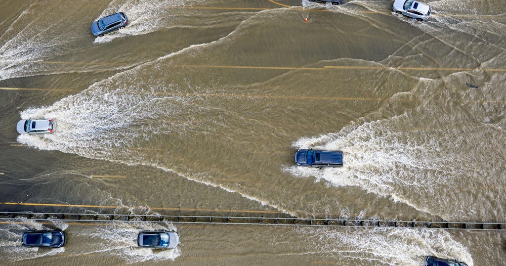 Conditions aligning for Bay Area to expect highest King Tides in 18 years
October 18, 2026 / 1:21 PM PDT / CBS San Francisco King tides bring coastal flooding to the Bay Area every winter. But this fall and winter, the region is expected to see the highest tides in 18 years. Why does this…
- These Are the States With the Best Weather Year-round
California and Hawaii are strong contenders for the best weather in the U.S. year-round. Coastal California offers comfortable temperatures with limited seasonal swings; Hawaii delivers consistent coastal warmth. But…
-
 ‘Danger zone’: These 5 US states are about to be hit hardest by El Niño, experts warn
Expect wildfires, floods and storms The world is entering a “danger zone of extreme weather” as the El Niño weather phenomenon starts to be felt, UN chief António Guterres recently said. His warnings have been echoed by…
- San Francisco Warms Friday Before Bay Area Temps Tank
The forecast calls for offshore flow and no rain in San Francisco. A Red Flag Warning remains in effect until 11 a.m. Friday for the North Bay Interior Mountains, while very dry conditions and elevated fire danger are…
-
 Back to reality, much cooler this weekend
KPTV We ended up much cooler this morning than originally thought but ample sunshine and a very light east wind should help push temperatures into the mid to upper 70s. FEW SHOWERS + COOLER THIS WEEKEND Hopefully you’ve…
- Bay Area beaches to see sneaker waves, strong rip currents this weekend
The National Weather Service is warning beachgoers about dangerous wave conditions this weekend. Here, a person watches a huge swell at Montara State Beach in December 2020. On what could be one of the Bay Area’s last…
-
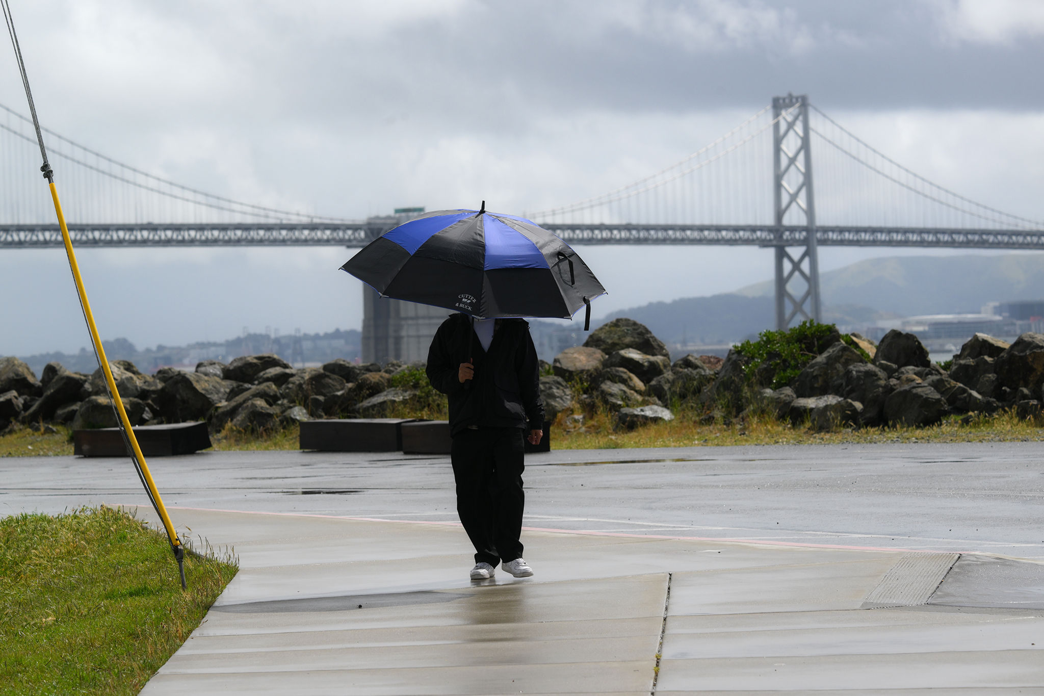 Warm, wet winter in store for California. Here's what to know.
A pedestrian on Treasure Island braces against rainy weather on April 12, 2026. Winter is coming, and it looks warm and wet in California, according to new data. Huge clouds over the city as seen from Treasure Island…
-
 A planetary wave just crept into San Francisco
El Niño has sent a deep-sea wave from the tropics into California waters. Unlike waves that crash over the beach, this so-called Kelvin wave traveled underwater, lifting the sea surface by up to a foot. The Kelvin wave…
-
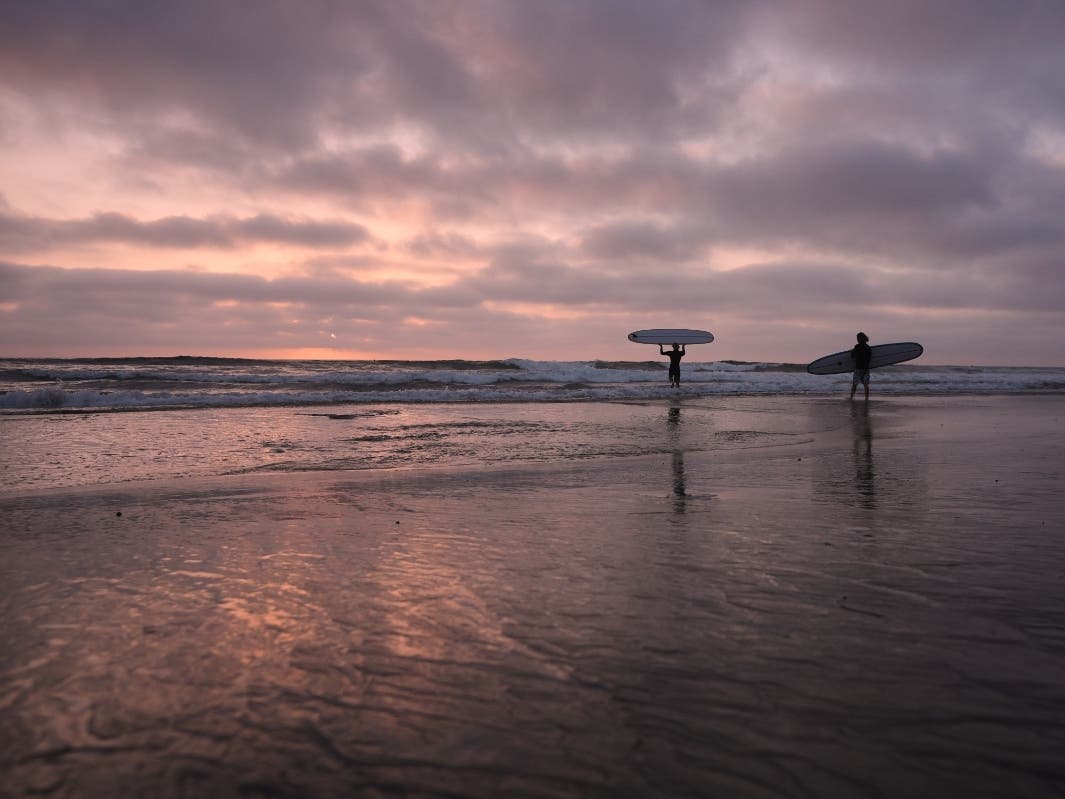 Kelvin Wave Reaches Bay Area, Raises Sea To Record Levels: What To Know
SAN FRANCISCO, CA — An underwater wave linked to this year’s powerful El Niño reached San Francisco Bay this week, potentially contributing to unusually high tides and localized flooding along the Bay Area shoreline…
-
 Thousands in Bay Area could lose power due to PG&E shut-offs
LATEST Oct. 14, 12:30 p.m. PG&E has increased the number of California residents who may lose power as high winds and dry weather are expected. Now, 88,000 state residents across 29 counties are at risk of power…
Air quality
Air quality is satisfactory, and air pollution poses little or no risk.
Forecast
- TueModerate (53)
- WedGood (50)
- ThuGood
Oakland, CA reporting area · 1 hr ago. Data from AirNow (EPA and its state, local and tribal partners); preliminary and subject to change.
Sun & moon
Almanac
MonthlySan Francisco Airport Area, records since 1945. Normals 1991–2020. Data from NOAA's Regional Climate Centers (ACIS).
Nearby
Forecasters' discussion
From the National Weather Service office in MTR, issued 6 hrs ago
Key Messages
Updated at 1200 PM PDT Mon Oct 19 2026
- Cooling trend continues through the end of the week
- Beneficial light rain showers expected mid-week
- Thunderstorms possible mid-week across southern Central Coast
Update
Issued at 856 AM PDT Tue Oct 20 2026
Looking out the window, yes sometimes we do just look out the window, we can see cirrus and even some accas. Both of these cloud types can be precursors to a pattern change. If we take a broader look at satellite the bands of clouds currently west of Monterey are the leading edge of an occluded low pressure parked off the coast. Additionally, the bands east of Monterey are likely tied to the position of an upper level jet (GOES West shows strong winds in the 250-450mb range). The accas can be a good indicator of moisture and lower-mid level instability. If you haven't noticed, KMUX is still in precip mode. We are now picking up a few echoes well offshore closer to the low pressure and surface boundaries.
No changes in the near term forecast for today. Will be focusing on the next 24-48 hour as the offshore system moves east bringing dynamics with it. Early look still suggest some precip across the entire CWA. The biggest impacts will be tied to the potential convective threat along the Central Coast. Will coordinate with SPC to any updates on SVR Outlooks. Still looks like a low chc for some rotating cells to develop over the coastal waters off Big Sur Wednesday.
MM
Short Term
Issued at 1203 AM PDT Tue Oct 20 2026 (Today through Wednesday)
The low pressure system is already making its presence known as it nears our coast. Not only were there various cloud layers present on Monday, but some measurable rainfall has been observed in Northern California nearby Eureka (as of 10 PM PDT Monday). Given that the center of the low is still to our northwest, these rainbands are not expected to impact us just yet...
Overnight, the upper-level trough continues to dig southward along the coast and becomes fully cut-off from the main airflow by Tuesday. During the day, calm conditions are expected with below normal temperatures and infrequent wind gusts up to 20-25 mph. Later tonight, the cut-off low begins to slowly propagate eastward with the first few rainbands possibly impacting the southern Central Coast first. Through the overnight hours, these rainbands begin to make their way across the rest of the Central Coast and Bay Area.
Rain chances increase Wednesday with the North and East Bay less likely to experience wetting rain (>0.10 inch) during the event. Chances for wetting rain increase towards the Central Coast where the center of the cut-off low is expected to enhance moisture transport onshore. The eastern portion of the system is forecast to have stronger wind speeds than the western portion, likely due to a tighter pressure gradient downstream as well as a surge in momentum flux from the subtropical jet stream. This roughly coincides with where the most moisture, instability, and lift can be found. As a result, thunderstorm potential (<20%) remains the greatest along the Central Coast. The exact timing is uncertain, though model guidance is suggesting the highest probabilities are during Wednesday afternoon. Most unstable CAPE has trended slightly downward compared to yesterday, though it is still highlighting the Big Sur Coastline. The latest SPC convective outlook has upgraded Central and Southern California to a marginal severe thunderstorm risk, just south of the Monterey County border... Even though we are not included in the marginal severe risk, this is too close to comfort considering the proximity to the Timber and Plaskett fire burn scars. As the event draws closer, this will be an area of special interest not only for the potential of debris flows if rainfall thresholds are met, but also gusty and erratic winds that may result from low-topped thunderstorms.
Long Term
Issued at 1203 AM PDT Tue Oct 20 2026 (Wednesday night through Monday)
Overnight, the center of the low gradually moves across the region resulting in diminishing rainfall chances, though the Central Coast still remains with a 60-80%. Lingering rain showers persist through Thursday as the system continues its eastward track. Across the Bay Area, 20-40% rain chances persist with a 40-60% chance across the Central Coast.
By Friday, the trough center will be east of our area as high pressure gradually builds in its wake with a mean northerly wind flow. To balance out the recent disturbance, a slightly warmer and drier air mass settles over the region this weekend with seasonal temperatures in the 60s and 70s.
Forecasts, observations and alerts in the United States come from the National Weather Service (NOAA); radar from NOAA's Multi-Radar Multi-Sensor system; satellite imagery from NASA's Global Imagery Browse Services (GIBS) and NOAA's GOES satellites; the map from the U.S. Geological Survey's National Map; air quality from AirNow (EPA and its partners); hurricane information from the National Hurricane Center; climate normals and records from NOAA's Regional Climate Centers (ACIS). Forecasts outside the United States and the UV index: MET Norway (CC BY 4.0); observations outside the U.S.: airport reports via NOAA's Aviation Weather Center. Place names: GeoNames (CC BY 4.0). Data are copied on a schedule and may lag the sources; for warnings that affect your safety, follow your local National Weather Service office and emergency officials. Weather news is drawn from the 4Conservative index and reflects what the press published. Terms of use.