Install
Hayward, CA 94540 Weather
Current conditions
Forecast for this hour (no station report in the last two hours)
Forecast
10-day-
Tonight
A chance of rain showers. Mostly cloudy, with a low around 55. West southwest wind 0 to 5 mph. Chance of precipitation is 50%. New rainfall amounts less than a tenth of an inch possible.
-
Thursday
A chance of rain showers before 9am, then areas of fog and a chance of rain showers between 9am and 11am, then rain showers likely and patchy fog. Mostly cloudy. High near 66, with temperatures falling to around 63 in the afternoon. South southwest wind 0 to 8 mph. Chance of precipitation is 70%. New rainfall amounts less than a tenth of an inch possible.
-
Thursday Night
Mostly cloudy. Low around 52, with temperatures rising to around 54 overnight. West southwest wind 1 to 8 mph.
National Weather Service forecast updated 9 hrs ago.
Hourly
Hourly forecast- Now60°21%
- Thu12 AM59°30%
- 1 AM59°43%
- 2 AM58°54%
- 3 AM57°32%
- 4 AM57°21%
- 5 AM56°45%
- 6 AM55°49%
- 7 AM55°50%
- 8 AM56°43%
- 9 AM57°39%
- 10 AM58°37%
- 11 AM61°48%
- 12 PM62°60%
- 1 PM63°68%
- 2 PM64°70%
- 3 PM63°57%
- 4 PM62°44%
- 5 PM63°20%
- 6 PM60°
- 7 PM57°
- 8 PM58°
- 9 PM57°
- 10 PM57°
10-day forecast
Details- TonightOct 21Chance Rain Showers54%55°
- ThuOct 22Rain Showers Likely70%52°66°
- FriOct 23Patchy Fog then Mostly Sunny46°69°
- SatOct 24Sunny50°72°
- SunOct 25Mostly Sunny50°73°
- MonOct 26Sunny50°71°
- TueOct 27Mostly Sunny50°71°
- WedOct 28Mostly Sunny70°
- ThuOct 29Cloudy55°74°
- FriOct 30Cloudy53°70°
Days after the National Weather Service's seven are MET Norway's outlook, a computer model with no forecaster's review.
Radar
Full mapWeather news near Hayward
More weather news-
 High Santa Ana winds continue across Southern California, cooldown in sight for the weekend
Santa Ana winds continued to swirl across Southern California, with low humidity creating high risk fire weather through Saturday, though cooldowns and higher humidity will bring some reprieve as the weekend continues…
-
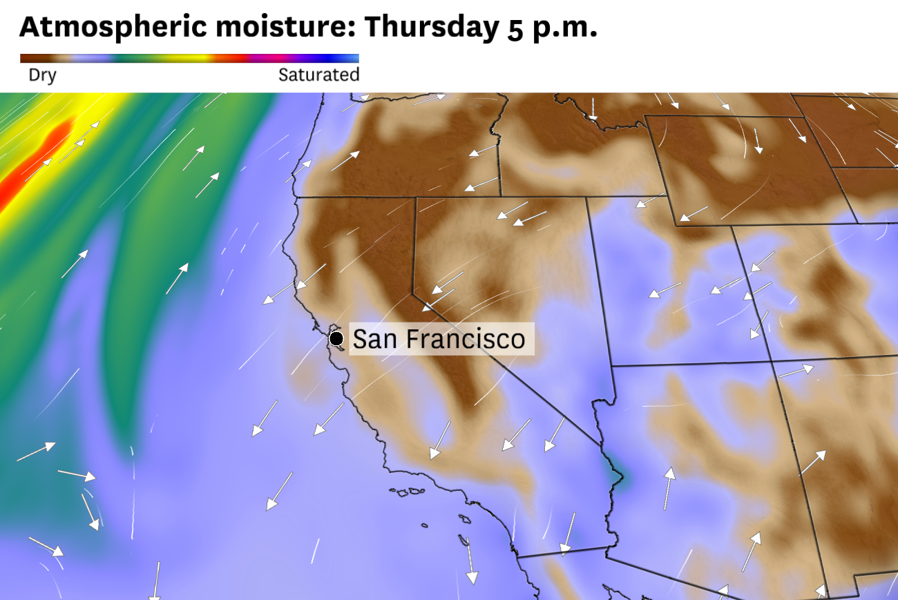 ‘Unusually dry’ air to hit Bay Area, raising temps and fire danger
Northeast winds in the upper atmosphere will push dry continental air over Northern California this week, raising fire danger in some areas. Air will warm as winds descend from the Sierra Nevada, pushing temperatures…
-
 New storm moves into Southern California: What to expect
A new storm is moving into Southern California Wednesday. Here is what to expect: Moderate rain is in the forecast from Wednesday late morning to Thursday afternoon, according to the National Weather Service. The…
-
 Rare severe storm threat targets Southern California while Arizona faces potential egg-sized hail, tornadoes
FLAGSTAFF, Ariz. — Severe thunderstorms blasted parts of Arizona early Wednesday ahead of a rare severe weather threat that will intensify through the day and into the evening. Parts of the state, including Flagstaff…
-
 Ventura County sees steady rain as storm moves into Southern California
VENTURA, Calif. (KABC) -- Ventura County was among the first areas in Southern California to see rainfall Wednesday, with rain beginning around 8:30 a.m. The rain was visible along the northbound 101 Freeway in…
-
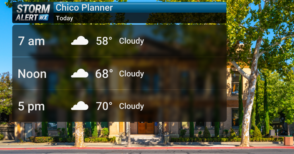 Showery conditions expected today across Northern California
Action News Now Cloudy conditions are expected across Northern California today, bringing a slight chance of rain showers and highs in the mid-70s. Widespread precipitation is anticipated to develop late today and…
-
 California's rainy season to arrive with flood threat, tornado risk and Sierra snow
California's wet season is starting off with a bang. The first significant storm of the season is forecast to bring heavy rain to vulnerable burn scars near Big Sur, coastal tornado risk to the Los Angeles area, and a…
-
 October Storm Threatens Southern California With Up to 2 Inches of Rain
Southern California could receive up to 2 inches of rain as an October storm moves along the California coast and heads inland Wednesday and Thursday, October 21-22, 2026. The National Weather Service warned that…
-
 Rain and Thunderstorms Expected in Southern California with Beach Hazard Warnings
At SSBCrack News, our dedicated editorial team brings you the latest and most reliable updates on Defence, Geopolitics, Military Affairs, Science, and Technology. Driven by a passion for national security and strategic…
-
 Southern California's wild weather swings continue. Next up, rain
Southern California is likely in for a solid dose of rain this week, just days after heat and Santa Ana winds helped fuel several wildfires across the region. Forecasters expect the bulk of the rain to roll into the Los…
Air quality
Forecast
- WedGood (36)
- ThuGood (37)
- FriGood
Livermore, CA reporting area. Data from AirNow (EPA and its state, local and tribal partners); preliminary and subject to change.
Sun & moon
Almanac
MonthlyLivermore, records since 1903. Normals 1991–2020. Data from NOAA's Regional Climate Centers (ACIS).
Nearby
Forecasters' discussion
From the National Weather Service office in MTR, issued 6 hrs ago
Key Messages
Updated at 141 PM PDT Wed Oct 21 2026
- Rain showers expected through Thursday afternoon
- Thunderstorms possible this afternoon into Thursday morning across north Central Coast
- A warming and drying trend expected for the upcoming weekend and into early next week
Short Term
Issued at 141 PM PDT Wed Oct 21 2026 (This evening through Thursday night)
The greatest potential for thunderstorms will be this afternoon and evening as up to 400-800 J/kg of MUCAPE (Most Unstable Convective Available Potential Energy) spreads across the north Central Coast. We've already seen lightning strikes around the Watsonville area with ongoing convection off of the coast. The most likely timing of this will be between now and 10 PM this evening before the cut-off low pressure system begins to push onshore over central/southern California and we lose the upper level instability aloft. The SPC issued a 2-4% tornado probability for the Big Sur coastline, thereby indicating increased potential for some low-topped supercells. If the offshore convection moves inland with rotation, there is the potential for a tornado.
Farther north across the Bay Area and North Bay, cannot rule out an isolated thunderstorm or two. Rainfall across this region is also expected to be much lighter with the position of the low pressure system farther to the south. Across the North Bay and Bay Area, expecting generally <0.30" with generally 0.25-0.75" across the north Central Coast, and 0.75-1.25" in the Santa Cruz Mountains and Santa Lucia Range through Thursday night. Any heavier rain shower and/or thunderstorm will likely produce brief heavy downpours adding to the rainfall amounts.
If severe weather does develop, here are some safety reminders:
* Have multiple ways to receive emergency alerts (i.e. NOAA weather radio, follow NWS Bay Area on social media, and/or ensuring your phone's emergency alert system is on) * Move to an interior room away from windows, if a waterspout makes landfall * Have an emergency action plan ready if you live downslope of wildfire burn scars * Avoid flooded roads. Turn around, don't drown!
Post frontal rain showers are forecast to linger into early Thursday afternoon with less than a 15% probability for thunderstorms continuing through the morning. By the Thursday evening, drying conditions are forecast to return to the region.
Long Term
Issued at 141 PM PDT Wed Oct 21 2026 (Friday through next Tuesday)
As the upper level through pushes farther inland, periods of moderate northerly winds are likely across the North Bay Interior Mountains. Winds across this region have the potential to be 15-25 mph with gusts up to 45 mph Friday night into Saturday morning.
A gradual warming and drying trend will persist across the region as weak high pressure builds in from the eastern Pacific. Low-lying areas along the San Francisco Bay, San Pablo Bay, and along the coast are likely to see minor coastal flooding over the weekend during peak high tides. This is likely to persist into at least the middle of the upcoming week.
Weatherwise, there is a great deal of uncertainty beyond Monday as the weak ridging begins to break down. There is the signal for additional troughing by late next week bringing cooler and unsettled weather conditions to the region.
Aviation
(00Z TAFS) Issued at 517 PM PDT Wed Oct 21 2026
Showers continue to develop and increase in areal coverage over the forecast area with isolated thunderstorms nearing the southern coastal waters and southernmost Monterey County. Conditions at the terminals are VFR with increasing showers resulting in MVFR possibly briefly IFR surface visibilities tonight and Thursday morning. Lingering showers Thursday with VFR conditions.
Vicinity of SFO...VFR with showers tonight and Thursday. Surface winds light and variable becoming westerly near 10 knots Thursday afternoon and evening.
SFO Bridge Approach...Similar to SFO.
Monterey Bay Terminals...VFR-MVFR with showers tonight and Thursday. East to southeast winds 5 to 10 knots except increasing up to 15 knots in the Salinas Valley tonight and Thursday morning. Winds shifting to westerly near 10 knots Thursday afternoon.
Forecasts, observations and alerts in the United States come from the National Weather Service (NOAA); radar from NOAA's Multi-Radar Multi-Sensor system; satellite imagery from NASA's Global Imagery Browse Services (GIBS) and NOAA's GOES satellites; the map from the U.S. Geological Survey's National Map; air quality from AirNow (EPA and its partners); hurricane information from the National Hurricane Center; climate normals and records from NOAA's Regional Climate Centers (ACIS). Forecasts outside the United States and the UV index: MET Norway (CC BY 4.0); observations outside the U.S.: airport reports via NOAA's Aviation Weather Center. Place names: GeoNames (CC BY 4.0). Data are copied on a schedule and may lag the sources; for warnings that affect your safety, follow your local National Weather Service office and emergency officials. Weather news is drawn from the 4Conservative index and reflects what the press published. Terms of use.