Install
Fillmore, CA 93015 Weather
Current conditions
Forecast for this hour (no station report in the last two hours)
Forecast
10-day-
Tonight
Showers and thunderstorms. Cloudy, with a low around 51. Southeast wind 0 to 5 mph. Chance of precipitation is 100%. New rainfall amounts between a half and three quarters of an inch possible.
-
Thursday
Showers and thunderstorms likely before 5pm. Mostly cloudy, with a high near 69. South southwest wind 0 to 10 mph. Chance of precipitation is 70%. New rainfall amounts between a tenth and quarter of an inch possible.
-
Thursday Night
Mostly cloudy, with a low around 48. North northwest wind 0 to 10 mph.
National Weather Service forecast updated 8 hrs ago.
Hourly
Hourly forecast- Now60°78%
- 1 AM59°78%
- 2 AM59°78%
- 3 AM58°78%
- 4 AM56°78%
- 5 AM56°74%
- 6 AM56°74%
- 7 AM52°74%
- 8 AM55°74%
- 9 AM57°74%
- 10 AM61°74%
- 11 AM63°51%
- 12 PM65°51%
- 1 PM67°51%
- 2 PM68°51%
- 3 PM68°51%
- 4 PM68°51%
- 5 PM67°12%
- 6 PM66°12%
- 7 PM64°12%
- 8 PM62°12%
- 9 PM61°12%
- 10 PM59°12%
- 11 PM58°
10-day forecast
Details- TonightOct 21Showers And Thunderstorms100%51°
- TodayOct 22Showers And Thunderstorms Likely74%48°69°
- FriOct 23Sunny48°75°
- SatOct 24Sunny52°79°
- SunOct 25Mostly Sunny53°80°
- MonOct 26Sunny53°81°
- TueOct 27Mostly Sunny52°80°
- WedOct 28Mostly Sunny77°
- ThuOct 29Cloudy60°77°
- FriOct 30Sunny58°73°
Days after the National Weather Service's seven are MET Norway's outlook, a computer model with no forecaster's review.
Radar
Full mapWeather news near Fillmore
More weather news-
 Storms descend on Southern California, raising risk of dangerous surf, flooding, debris flows
Rain is anticipated for Southern California on Wednesday into Thursday as the National Weather Service cautioned about potential beach hazards and thunderstorms from Oxnard to the Mexico border. The weather service's…
-
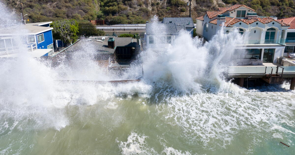 Rain and Thunderstorms Expected in Southern California with Beach Hazard Warnings
At SSBCrack News, our dedicated editorial team brings you the latest and most reliable updates on Defence, Geopolitics, Military Affairs, Science, and Technology. Driven by a passion for national security and strategic…
-
 Cruise ship passengers who packed for trip to Bahamas stunned after bad weather forces them to sail to chilly Nova Scotia instead
Some cruise passengers aboard a Royal Caribbean ship are sorely under-packed after the boat rerouted from the sunny Bahamas to chilly Canada to avoid a storm. For 5,000 passengers aboard the Oasis of the Seas, which…
- Cruise passengers who packed for Bahamas stunned after weather forces them to sail to Nova Scotia
Some cruise passengers aboard a Royal Caribbean ship are sorely under-packed after the boat rerouted from the sunny Bahamas to chilly Canada to avoid a storm. For 5,000 passengers aboard the Oasis of the Seas, which…
-
 Cooldown with a chance of rain
‘Mostly beneficial’ showers are possible midweek, followed by a weekend warm-up. VOLUNTEERS wait for parishioners at St. Joseph Catholic Church in Placentia. (ROBERT GAUTHIER Los Angeles Times) It’s time to grab those…
-
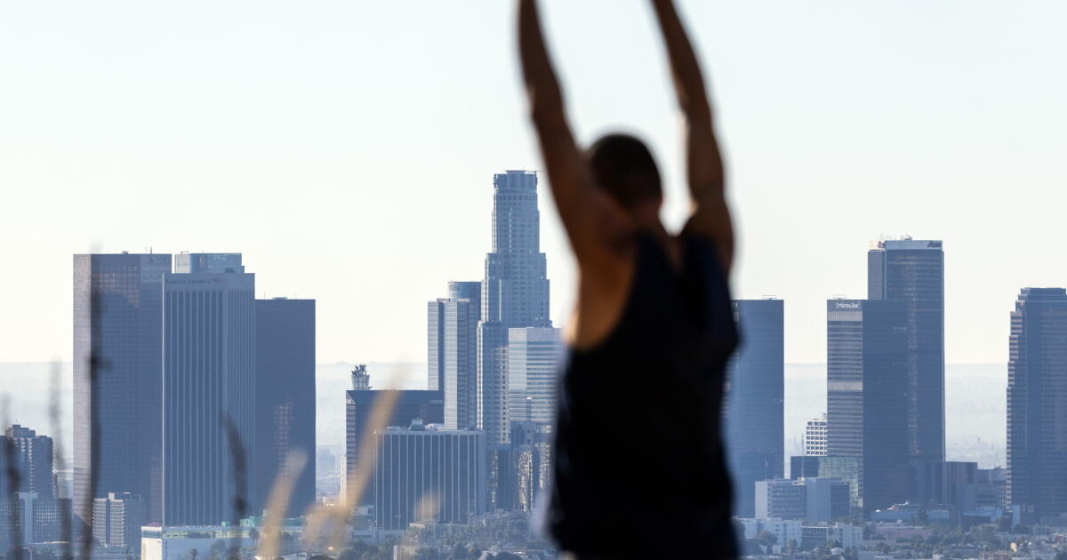 Cooler temperatures, possible rain headed for Southern California
It’s time to grab those jackets and pull out the umbrellas because cooler temperatures and a chance of rain is on tap for Southern California by the middle of this week, forecasters say. The region could see widespread…
- Last Blast: Downtown LA Bakes Today Before Midweek Soaker Hits
Sunday night will be mostly clear with a low near 64, followed by another sunny but cooler day Monday with a high around 83. That is a notable change from the recent 90s heat and Santa Ana concerns covered by Hoodline…
-
 High wind warning for Los Angeles County until Friday evening
Pasadena Star News Howl.link Western Santa Monica Mountains Recreational area, Santa Susana Mountains, 5 Freeway corridor near Santa Clarita, Western San Gabriel Mountains/Highway 14 Corridor and Eastern San Gabriel…
-
 High wind warning in place for 5 Freeway north of LA until Friday evening
Press Enterprise Howl.link 5 Freeway corridor near Santa Clarita, Western Santa Monica Mountains Recreational area, Santa Susana Mountains, Western San Gabriel Mountains/Highway 14 Corridor and Eastern San Gabriel…
-
 Heat advisory issued for Malibu until Saturday evening
Los Angeles Daily News Malibu, Ventura County Beaches and Ventura County Inland Coast are included in an updated heat advisory issued by the National Weather Service on Friday at 7:50 p.m. The advisory is in effect…
Air quality
Air quality is satisfactory, and air pollution poses little or no risk.
Forecast
- ThuGood (40)
- FriGood (43)
- SatGood (42)
Piru, CA reporting area · 1 hr ago. Data from AirNow (EPA and its state, local and tribal partners); preliminary and subject to change.
Sun & moon
Almanac
MonthlyCamarillo Area, records since 1923. Normals 1991–2020. Data from NOAA's Regional Climate Centers (ACIS).
Nearby
- Oxnard 33 km
- Santa Clarita 34 km
- Valencia 29 km
- Thousand Oaks 26 km
- Simi Valley 19 km
- Ventura 37 km
- Santa Monica 58 km
- Camarillo 23 km
- Moorpark 13 km
- Santa Paula 14 km
- Port Hueneme 38 km
- Agoura Hills 32 km
Forecasters' discussion
From the National Weather Service office in LOX, issued 7 hrs ago
Synopsis
21/227 AM.
Widespread rain will develop later today and continue into Thursday with a chance of thunderstorms. A weak Santa Ana will develop in the storm's wake by the weekend for dry and warmer conditions.
Long Term (sun-wed)
21/205 PM.
A low grade Santa Ana event will continue into next week continuing the dry and warmer pattern. Onshore flow is expected to return around mid week with temperatures returning to normal levels. There are some model solutions indicating a return of wet weather around Halloween.
Aviation
22/0001Z.
At 23Z at KLAX, there was no marine layer nor an inversion.
Low to moderate confidence in 00Z TAF package. Rain will turn to showers across the region this evening and continue through Thursday. There is a 30%-50% chance of MVFR CIGs at times with the rain.
There is a 10-20% chance of TSRA through the period with the chances spreading south and east this evening.
KLAX...Moderate confidence in 00Z TAF. There is a 50% chance that CIGs remain at VFR levels through the period with a 30%-50% chance of MVFR cigs at times. There is a 10%-20% chance of TSRA for much of the fcst period. There is 30% chance of an easterly wind component of 7-10 knots tonight.
KBUR...Low to moderate confidence in 00Z TAF. IFR cigs at fcst time should improve quickly. Then there is a 50% chance that CIGs remain at VFR levels through much the period with a 30%-50% chance of MVFR cigs at times. There is a 10%-20% chance of TSRA for much of the fcst period.
Marine
21/123 PM.
For the Outer Waters, high confidence in current forecast. Tonight through Thursday night, winds and seas are expected to remain below Small Craft Advisory (SCA) levels. On Friday, northwest winds will increase to SCA levels. For Saturday through Monday, winds and seas are expected to remain below SCA levels.
For the Inner Waters north of Point Sal, moderate to high confidence in current forecast. There is a 30-40% chance of SCA level winds Friday afternoon and evening. Otherwise, high confidence in winds and seas remaining below SCA levels through Monday.
For the Inner Waters south of Point Conception, moderate to high confidence in current forecast. Through this evening, there is a 60-80% chance of SCA level southeasterly winds across all the southern Inner Waters. For Thursday through Monday, high confidence in winds and seas remaining below SCA levels for most areas. The only exception will be the western half of the Santa Barbara Channel with a 50-70% chance of SCA level winds late Friday afternoon and evening.
Through Thursday, showers and isolated thunderstorms will impact all of the coastal waters. Any thunderstorms that develop will be capable of producing gusty/erratic winds, locally rough seas and even waterspouts.
Forecasts, observations and alerts in the United States come from the National Weather Service (NOAA); radar from NOAA's Multi-Radar Multi-Sensor system; satellite imagery from NASA's Global Imagery Browse Services (GIBS) and NOAA's GOES satellites; the map from the U.S. Geological Survey's National Map; air quality from AirNow (EPA and its partners); hurricane information from the National Hurricane Center; climate normals and records from NOAA's Regional Climate Centers (ACIS). Forecasts outside the United States and the UV index: MET Norway (CC BY 4.0); observations outside the U.S.: airport reports via NOAA's Aviation Weather Center. Place names: GeoNames (CC BY 4.0). Data are copied on a schedule and may lag the sources; for warnings that affect your safety, follow your local National Weather Service office and emergency officials. Weather news is drawn from the 4Conservative index and reflects what the press published. Terms of use.