Install
Beverly Hills, CA 90213 Weather
Current conditions
Observed at Santa Monica, Santa Monica Municipal Airport · 31 min ago
Forecast
10-day-
Overnight
Partly cloudy, with a low around 58. North wind 0 to 5 mph.
-
Monday
Sunny, with a high near 76. West northwest wind 0 to 10 mph.
-
Monday Night
Mostly clear, with a low around 58. Southeast wind 5 to 10 mph.
National Weather Service forecast updated 1 hr ago.
Hourly
Hourly forecast- Now63°
- 2 AM63°
- 3 AM62°
- 4 AM62°
- 5 AM60°
- 6 AM60°
- 7 AM58°
- 8 AM60°
- 9 AM64°
- 10 AM68°
- 11 AM72°
- 12 PM76°
- 1 PM76°
- 2 PM76°
- 3 PM75°
- 4 PM75°
- 5 PM72°
- 6 PM69°
- 7 PM70°
- 8 PM70°
- 9 PM67°
- 10 PM66°
- 11 PM64°
- Tue12 AM63°
10-day forecast
Details- TonightOct 25Partly Cloudy58°
- TodayOct 26Sunny58°76°
- TueOct 27Mostly Sunny58°75°
- WedOct 28Partly Sunny60°73°
- ThuOct 29Mostly Cloudy13%60°73°
- FriOct 30Partly Sunny19%59°71°
- SatOct 31Chance Rain Showers48%58°68°
- SunNov 1Chance Rain Showers47%67°
- MonNov 2Sunny52°78°
- TueNov 3Sunny51°76°
Days after the National Weather Service's seven are MET Norway's outlook, a computer model with no forecaster's review.
Radar
Full mapWeather news near Beverly Hills
More weather news-
 Prepare for strong thunderstorms in Los Angeles County Friday evening – gusts up to 40 mph
Western San Gabriel Mountains/Highway 14 Corridor, Eastern San Gabriel Mountains, Western Antelope Valley Foothills, Eastern Antelope Valley Foothills and Antelope Valley were placed under a report for strong…
-
 Rain on Halloween? L.A. could have its first wet Halloween in a decade
The reprieve from rain is expected to last just a few more days as forecasters warn of another storm system that could bring Los Angeles its first rainy Halloween since 2014. It’s still too far out to know the exact…
-
 Will it rain on Halloween in Southern California? Here’s what forecasters say
Southern California residents may want to keep an umbrella handy this Halloween, as forecasters monitor another potential round of rain that could arrive just in time for trick-or-treating. A low-pressure system…
- Hurricane Vance forms, could become major system
Hurricane Vance has formed in the Pacific Ocean, well off the southern coast of Mexico, but it's not the only activity forecasters are watching in the Pacific. Named a tropical storm on Oct. 21, 2026, Vance intensified…
- UPDATE: Damaging winds and quarter-sized hail foreseen with thunderstorms in Los Angeles Thursday
At 10:42 a.m. on Thursday, the NWS Los Angeles/Oxnard CA released an updated severe thunderstorm warning in effect until 11:15 a.m. for Los Angeles. The storms may bring quarter-sized hail (1 inch) and wind gusts of up…
-
 Southern California weather — Fall Storm Brings Thunderstorms and Flood Advisories
A recent Southern California weather system driven by an autumn storm is continuing to bring thunderstorms, lightning, and heavy rain to the region. With localized downpours expected, authorities have issued strict…
-
 LA weather: More rain, pop-up storms hit SoCal as flood alerts remain in place
LOS ANGELES - Another round of rain will hit Southern California on Thursday as some areas remain under a Flood Watch until the early evening. On Thursday morning, moderate to heavy rain activity was detected across…
-
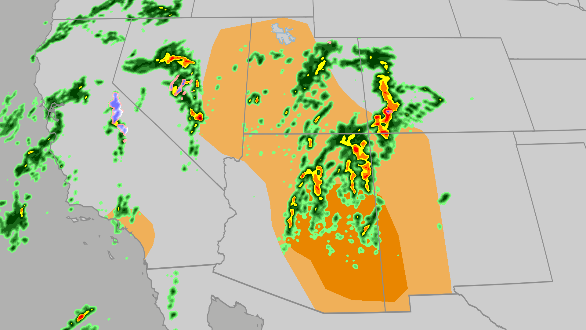 Severe weather, flood risk across Four Corners, California
The Weather Channel Tornadoes, flooding, large hail possible in Four Corners, California Parts of the Four Corners and Southern California face an elevated risk of severe weather on Thursday, which includes the…
-
 Powerful West Coast Storm Brings Flooding and Severe Weather Threats
Published on October 22, 2026 A powerful storm approaching the West Coast on Wednesday, Oct. 21, is expected to bring heavy rainfall, severe thunderstorms, and rough seas to California and parts of the Intermountain…
-
 Thunderstorms with pea-sized hail in Los Angeles County Wednesday – gusts up to 40 mph
Los Angeles County is under a weather alert for strong thunderstorms by the National Weather Service on Wednesday at 3:33 p.m. The alert is in effect until 4 p.m. Prepare for pea-sized hail (0.25 inches) and wind gusts…
Air quality
Air quality is satisfactory, and air pollution poses little or no risk.
Forecast
- MonModerate (56)
NW Coastal LA, CA reporting area · 1 hr ago. Data from AirNow (EPA and its state, local and tribal partners); preliminary and subject to change.
Sun & moon
Almanac
MonthlyBurbank Glendale Pasadena Area, records since 1939. Normals 1991–2020. Data from NOAA's Regional Climate Centers (ACIS).
Nearby
- Los Angeles 15 km
- Long Beach 39 km
- Anaheim 52 km
- Huntington Beach 59 km
- Glendale 15 km
- Santa Clarita 38 km
- Garden Grove 54 km
- Pomona 60 km
- Valencia 45 km
- Torrance 27 km
- Pasadena 25 km
- Orange 60 km
Forecasters' discussion
From the National Weather Service office in LOX, issued 2 hrs ago
Synopsis
25/1036 PM.
Dry and warm conditions will continue through the first half of this week. Cooler conditions will follow, with a growing potential for a moderate to strong storm system towards next weekend.
Long Term (thu-sun)
25/1240 PM.
Northwest flow aloft will transition to the southwest with a digging trough just to our west. Light rain may begin as early as Thursday night for Friday in response to this pattern change. Either way cloud cover will be on the increase, contributing to continued cooling with highs only in the 60s to near 70 by Friday.
Guidance is trending slower and stronger with the potential weekend storm. While confidence is growing, it still remains below normal, especially for Santa Barbara and San luis Obispo Counties. There is a 90 percent chance of widespread rain SOMETIME between Friday and Monday, again focused Saturday (Halloween) or Sunday. We have a decent (30-60% chance) shot of a moderate storm (0.5-1.5 inches except 1.5-3 inches south facing mountains/foothills) and slight (10-20%) chance of a strong storm (2+ inches except 4+ inches mountains/foothills). Odds of both of these scenarios are highest for Los Angeles and Ventura Counties, lowest San Luis Obispo and Santa Barbara Counties) due to the best moisture and possible track of the storm focused towards the south. Other significant impacts such as strong winds and coastal flooding are possible in the strong storm scenario.
Snow levels will generally be high, although light snow may occur at high elevations on the backside of the storm.
Again just to repeat, confidence remains low on this time period and may remain low, especially on forecast details, for another couple of days.
An active weather pattern may continue behind next weekend, with a 50-60 percent chance of above normal precipitation into the following week.
Aviation
26/0536Z.
At 0505Z at KLAX, there was a surface-based inversion. The top of the inversion was 1300 feet with a temperature of 22 degrees Celsius.
For the 00Z TAF package, high confidence in CAVU TAFs for KSBA, KOXR, KCMA, KBUR, KVNY, KPMD and KWJF.
For KSBP there is a 30% chance of LIFR/VLIFR conds, and a 30-40 percent chance that LIFR/VLIFR conds do not affect KSMX or KPRB. For KLAX, KLGB and KSMO, there is a 10-20% chance of LIFR/VLIFR conditions 08Z-16Z.
KLAX...High confidence in TAF. There is only a 20% chance of 2SM BR OVC004 conditions 12Z-17Z. No significant easterly wind component is expected.
KBUR...High confidence in CAVU TAF.
Marine
25/926 PM.
For the Outer Waters, moderate to high confidence in current forecast. This afternoon through Wednesday, high confidence in winds increasing to SCA levels. On Thursday and Friday, there is a 50-60% chance of SCA level winds continuing.
For the Inner Waters north of Point Sal, moderate to high confidence in current forecast. For this afternoon and evening, there is a 60-80% chance of SCA level winds. For Tuesday through Friday, there is a 30-50% chance of SCA level winds each afternoon and evening.
For the Inner Waters south of Point Conception, moderate to high confidence in current forecast. Through Friday, high confidence in winds and seas remaining below SCA levels for most of the southern Inner Waters. The only exception will be the western half of the Santa Barbara Channel with a 50-60% chance of SCA level winds in the late afternoon and evening hours Monday and Tuesday, then again on Friday.
Dense fog is likely to form over portions of the coastal waters over the next 48 hours, but low confidence on exactly when and where.
A significant storm system will impact the area sometime in the late Friday through early next week timeframe. There is a wide range of outcomes, but there is at least a low threat of a 12-24 hour period of strong winds and step seas.
Forecasts, observations and alerts in the United States come from the National Weather Service (NOAA); radar from NOAA's Multi-Radar Multi-Sensor system; satellite imagery from NASA's Global Imagery Browse Services (GIBS) and NOAA's GOES satellites; the map from the U.S. Geological Survey's National Map; air quality from AirNow (EPA and its partners); hurricane information from the National Hurricane Center; climate normals and records from NOAA's Regional Climate Centers (ACIS). Forecasts outside the United States and the UV index: MET Norway (CC BY 4.0); observations outside the U.S.: airport reports via NOAA's Aviation Weather Center. Place names: GeoNames (CC BY 4.0). Data are copied on a schedule and may lag the sources; for warnings that affect your safety, follow your local National Weather Service office and emergency officials. Weather news is drawn from the 4Conservative index and reflects what the press published. Terms of use. How to use Weather