Install
San Tan Valley, AZ 85140 Weather
Current conditions
Forecast for this hour (no station report in the last two hours)
Forecast
10-day-
This Afternoon
Sunny. High near 78, with temperatures falling to around 76 in the afternoon. West wind around 5 mph.
-
Tonight
Mostly clear. Low around 56, with temperatures rising to around 58 overnight. North northeast wind 0 to 5 mph.
-
Sunday
Sunny. High near 81, with temperatures falling to around 79 in the afternoon. North wind 0 to 5 mph.
National Weather Service forecast updated 2 hrs ago.
Hourly
Hourly forecast- Now77°
- 2 PM78°
- 3 PM78°
- 4 PM78°
- 5 PM76°
- 6 PM73°
- 7 PM70°
- 8 PM68°
- 9 PM66°
- 10 PM64°
- 11 PM63°
- Sun12 AM62°
- 1 AM61°
- 2 AM60°
- 3 AM59°
- 4 AM58°
- 5 AM58°
- 6 AM58°
- 7 AM57°
- 8 AM61°
- 9 AM68°
- 10 AM72°
- 11 AM76°
- 12 PM78°
Daily forecast
Details- TodayOct 24Sunny56°78°
- SunOct 25Sunny55°81°
- MonOct 26Sunny59°84°
- TueOct 27Sunny60°85°
- WedOct 28Mostly Sunny63°86°
- ThuOct 29Partly Sunny61%64°85°
- FriOct 30Showers And Thunderstorms Likely65%61°77°
- SatOct 31Heavy rain1.32 in59°67°
- SunNov 1Heavy rain1.25 in56°62°
Days after the National Weather Service's seven are MET Norway's outlook, a computer model with no forecaster's review.
Radar
Full mapWeather news near San Tan Valley
More weather news- Brewing nor’easter to stir up days of trouble for the Outer Banks and Mid-Atlantic
By Meteorologists Mary Gilbert, Tyler Ory, CNN (CNN) — Strong winds, pounding seas and coastal flood threats will be near-constant companions for parts of North Carolina up through the Chesapeake Bay area this weekend…
- Phoenix Weather Windy Saturday Rain Chances Cooler Midweek
Before sunrise Saturday, mostly cloudy skies and strong easterly winds were already pushing across the Valley. The city is headed for a high near 81, with a slight chance of rain arriving late in the afternoon. East…
- Phoenix Wind Advisory Brings Dusty Friday Before Weekend Cooling
The advisory runs from 8 a.m. to 3 p.m. Friday, with east winds of 15 to 25 mph and gusts reaching 35 to 45 mph expected, according to the National Weather Service. The Phoenix area should reach about 89 degrees…
-
 Will Phoenix see rain this weekend? Here’s the latest forecast
The Valley starts with a refreshing cool-down, as Sky Harbor fell to 58 degrees Wednesday morning — 8 degrees below average. Highs reach the upper 70s before rebounding into the upper 80s Thursday and Friday. Gusts…
-
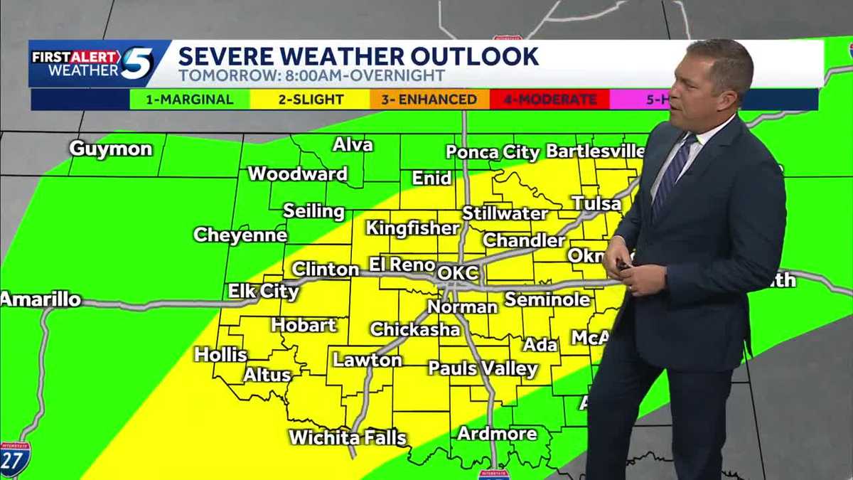 TIMELINE: Oklahoma to see more waves of severe storms with tornado threat Wednesday
More waves of severe storms are headed for Oklahoma Wednesday, with tornado and hail threats and several inches of rain possible. Severe thunderstorms moved into Oklahoma on Tuesday evening, but chances for severe…
-
 MOST ACCURATE FORECAST: Cooler, drier air settles into Arizona
PHOENIX — The powerful fall storm that brought severe weather to Arizona this week has moved out of the state. The storm system triggered 16 Tornado Warnings across Arizona on Wednesday and Thursday. A likely tornado…
-
 Severe weather is leaving Arizona. Here’s what to expect next
After several days of severe weather across Arizona, mainly quiet conditions return for Friday and the weekend. Ian Schwartz has your First Alert forecast. PHOENIX (AZFamily) — After several days of severe weather…
-
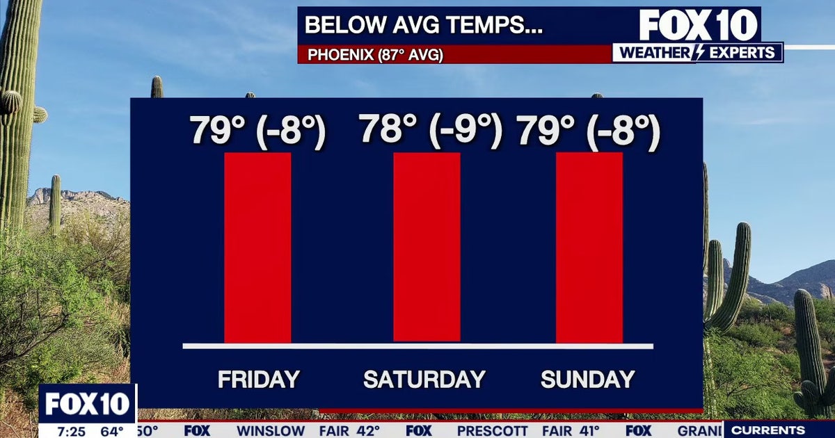 Arizona weather forecast: Cooler highs and sunny weekend skies in Phoenix
PHOENIX - Friday morning temperatures across Phoenix show most residents starting in the mid-to-upper 50s or low 60s. Wickenburg recorded upper 40s, while temperatures reached 59 degrees in Mesa, Phoenix-Mesa Gateway…
-
 MOST ACCURATE FORECAST: Tornado Watch for much of Arizona
PHOENIX — A powerful fall storm is moving through Arizona. Strong to severe storms are impacting parts of the state again Thursday. The storm threat shifts into eastern Arizona this afternoon before clearing out…
-
 After a stormy few days in Arizona, sunshine and fall temps return Friday
TUCSON, Ariz. (13 News) - Tornado Watch in Cochise, Graham, and Greenlee Counties until 8pm tonight. Severe weather potential remains this afternoon and evening throughout Arizona. A Flood Watch is still valid for our…
Air quality
Air quality is satisfactory, and air pollution poses little or no risk.
Gila River Indian Community, AZ reporting area · 1 hr ago. Data from AirNow (EPA and its state, local and tribal partners); preliminary and subject to change.
Sun & moon
Almanac
MonthlyPhoenix Williams Gateway Ap, records since 1949. Normals 1991–2020. Data from NOAA's Regional Climate Centers (ACIS).
Nearby
- Phoenix 58 km
- Mesa 38 km
- Chandler 32 km
- Gilbert 30 km
- Scottsdale 49 km
- Tempe 43 km
- Tempe Junction 46 km
- Casa Grande 41 km
- Maricopa 51 km
- Apache Junction 25 km
- Queen Creek 12 km
- Florence 22 km
Forecasters' discussion
From the National Weather Service office in PSR, issued 3 hrs ago
Updated
18Z Aviation Discussion...
Key Messages
- Below normal temperatures will continue through the weekend before readings warm back closer to the seasonal average for the bulk of next week.
- Aside from a few showers mainly over the mountains of Arizona today, dry and tranquil weather conditions will grace the region through the middle of next week.
- A return to inclement weather with increased rainfall chances is possible towards the end of next week.
Short Term
Analysis early this morning showed a recently closed off low pressure system across the Southwest with a prominent vorticity center rounding the base of the low and moving east across SoCal with some light showers in Imperial County and southern Yuma County. This low will slowly track across AZ today through Sunday and exit through the Four Corners by Monday. As the cold-core pushes into AZ this afternoon it will be enough, combined with surface heating, to generate scattered showers and isolated storms across the northern AZ high terrain, including portions of Gila County. A few showers may also develop across Maricopa and Pinal Counties this afternoon as the vorticity center passes overhead, but with low mixing ratios around 4-6 g/kg any showers will likely be inconsequential and not lead to much in the way of rainfall. A brief thunderstorm cannot be completely ruled out as mid-level lapse rates increase to around 7 C/km, with chances better in the foothills north and northeast of Phoenix. Maybe even a cold-air funnel. H5 heights around 565-572 dam this weekend will keep temperatures 3-6 degrees below normal, with lower desert highs in the upper 70s to middle 80s and lows in the 50s to lower 60s. With light winds and the below normal temperatures it should be a comfortable Fall weekend.
Long Term
Gradually warming temperatures and overall tranquil weather is expected through at least the first half of the next workweek with quasi-zonal flow in the wake of the weekend low. An increase in H5 heights up to 579-582 dam by Monday will support the gradual warming of temperatures, with afternoon highs reaching the middle 80s and lows in the upper 50s to lower 60s across the lower deserts, which is right around normal for the time of year. Dry mostly clear skies will prevail under this pattern as well. Model uncertainty grows later next week as there are hints at some moisture return into the region from the southeast, then a potential atmospheric river approaching by next weekend. Either, or both of these moisture sources may eventually help to bring a return to rain chances at some point before the end of the month, but it is too early to have a good idea on timing and/or placement for any weather feature this far in advance.
Forecasts, observations and alerts in the United States come from the National Weather Service (NOAA); radar from NOAA's Multi-Radar Multi-Sensor system; satellite imagery from NASA's Global Imagery Browse Services (GIBS) and NOAA's GOES satellites; the map from the U.S. Geological Survey's National Map; air quality from AirNow (EPA and its partners); hurricane information from the National Hurricane Center; climate normals and records from NOAA's Regional Climate Centers (ACIS). Forecasts outside the United States and the UV index: MET Norway (CC BY 4.0); observations outside the U.S.: airport reports via NOAA's Aviation Weather Center. Place names: GeoNames (CC BY 4.0). Data are copied on a schedule and may lag the sources; for warnings that affect your safety, follow your local National Weather Service office and emergency officials. Weather news is drawn from the 4Conservative index and reflects what the press published. Terms of use.