Install
Spanish Fork, UT 84660 Weather
Current conditions
Observed at Provo Municipal Airport · 34 min ago
Forecast
10-day-
Tonight
Partly cloudy, with a low around 49. East southeast wind 5 to 8 mph.
-
Wednesday
A slight chance of showers and thunderstorms between noon and 3pm, then a chance of showers and thunderstorms. Mostly sunny. High near 74, with temperatures falling to around 69 in the afternoon. Southeast wind 3 to 7 mph. Chance of precipitation is 40%.
-
Wednesday Night
A slight chance of showers and thunderstorms before 9pm. Mostly cloudy, with a low around 52. East southeast wind 7 to 10 mph. Chance of precipitation is 20%.
National Weather Service forecast updated 7 hrs ago.
Hourly
Hourly forecast- Now59°
- 9 PM58°
- 10 PM57°
- 11 PM55°
- Wed12 AM54°
- 1 AM53°
- 2 AM52°
- 3 AM52°
- 4 AM51°
- 5 AM50°
- 6 AM50°
- 7 AM49°
- 8 AM49°
- 9 AM53°
- 10 AM58°
- 11 AM63°
- 12 PM67°24%
- 1 PM70°24%
- 2 PM71°24%
- 3 PM72°41%
- 4 PM70°41%
- 5 PM69°41%
- 6 PM67°20%
- 7 PM61°20%
10-day forecast
Details- TonightOct 20Partly Cloudy49°
- WedOct 21Mostly Sunny then Slight Chance Showers And Thunderstorms41%52°74°
- ThuOct 22Showers And Thunderstorms Likely98%49°71°
- FriOct 23Light Rain Likely then Showers And Thunderstorms85%43°57°
- SatOct 24Mostly Sunny40°56°
- SunOct 25Mostly Sunny42°61°
- MonOct 26Sunny43°63°
- TueOct 27Mostly Sunny65°
- WedOct 28Mostly sunny36°60°
- ThuOct 29Cloudy37°61°
Days after the National Weather Service's seven are MET Norway's outlook, a computer model with no forecaster's review.
Radar
Full mapWeather news near Spanish Fork
More weather news-
 Snow sticks on upper roads in Cottonwood canyons as UDOT urges caution
KUTV CBS 2 provides local news, weather forecasts, traffic updates, notices of events and items of interest in the community, sports and entertainment programming for Salt Lake City and nearby towns and communities in…
-
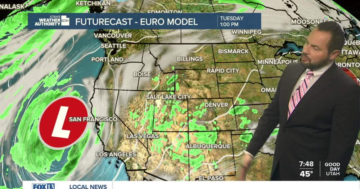 Sunshine returns Sunday up north, with a few showers over southern Utah
SALT LAKE CITY — Happy Sunday, Utah! Ample sunshine returns to northern Utah today, with a chance of a few showers down south. Daytime highs remain in the upper 60s for northern valleys, with a high of 70 degrees…
-
 Utah stays sunny through weekend before storm brings rain next week
KUTV Utah stays sunny through weekend before storm brings rain next week by Chase Thomason, KUTV SALT LAKE CITY (KUTV) — Temperatures will warm slightly through the weekend. Sunny weather will continue across northern…
-
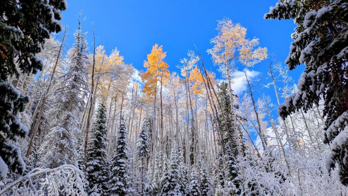 NOAA’s winter outlook leaves Utah snowfall uncertain as El Niño strengthens
PARK CITY, Utah — Utah’s upcoming winter could be shaped by a strong El Niño, but the National Oceanic and Atmospheric Administration’s latest seasonal outlook does not point to a clear outcome when it comes to…
-
 UTAH’S WEATHER IS ABOUT TO FLIP...AGAIN!
After this morning’s cold start, Utah will begin to warm as high pressure stays over the region through the first part of the weekend. By Sunday, the weather pattern becomes much more active. Moisture from weakening…
-
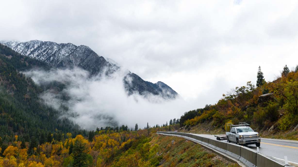 Hurricane Rachel’s Remnants Bring Record Precipitation to Drought-Stricken Utah
At SSBCrack News, our dedicated editorial team brings you the latest and most reliable updates on Defence, Geopolitics, Military Affairs, Science, and Technology. Driven by a passion for national security and strategic…
-
 #Drought news October 15, 2026: Drought improvements were noted across portions of #Arizona, #NewMexico, #Utah and the Rocky Mountains of #Colorado and #Wyoming
Drought news October 15, 2026: Drought improvements were noted across portions of #Arizona, #NewMexico, #Utah and the Rocky Mountains of #Colorado and #Wyoming coyotegulch.blog Click on a thumbnail graphic to view a…
-
 America’s Most Turbulent Flights Come From Utah & Nevada!
If you fly between Salt Lake City and Denver, buckle up. Six of America's ten roughest flight routes involve Utah or Nevada, where the Rocky Mountains and strong winds create consistent turbulence for travelers…
-
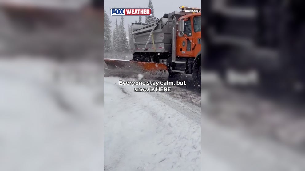 Snowplow clears roads during October snowstorm in Utah
FOX Weather Snowplow clears roads during October snowstorm in Utah A snowplow clears roads in Cottonwood Canyon, Utah, as heavy snow blankets the area. This is the first snowstorm of the season.
-
 Tropical Storm Rachel dumped more than a foot of snow on parts of Utah. Other areas got skunked.
(Francisco Kjolseth | The Salt Lake Tribune) Snow falls in Big Cottonwood Canyon on Tuesday, Oct. 13, 2026. The pile atop Snowbird’s snow stake expanded like an inflatable pillow Tuesday. Within hours, it billowed up…
Air quality
Air quality is satisfactory, and air pollution poses little or no risk.
Forecast
- TueGood
- WedGood
- ThuGood
Provo, UT reporting area · 1 hr ago. Data from AirNow (EPA and its state, local and tribal partners); preliminary and subject to change.
Sun & moon
Almanac
MonthlySpanish Fork Power House, records since 1909. Normals 1991–2020. Data from NOAA's Regional Climate Centers (ACIS).
Nearby
- Provo 14 km
- Orem 21 km
- Sandy 57 km
- South Jordan 56 km
- Lehi 36 km
- Draper 50 km
- Riverton 52 km
- Pleasant Grove 29 km
- Cottonwood Heights 58 km
- Midvale 60 km
- Springville 7 km
- Herriman 56 km
Forecasters' discussion
From the National Weather Service office in SLC, issued 7 hrs ago
Key Messages
- Widespread precipitation returns Wednesday morning across southern Utah, with coverage expanding northward through Friday. Many areas will see precipitation accumulations between 0.5-1.5" through this period, with local totals in excess of 3" possible.
- The heavy rain will bring a threat of flash flooding to southern and central Utah, and there is a Slight Risk of Excessive Rainfall across southern Utah Wednesday and Thursday.
- A few strong thunderstorms may be capable of producing gusty winds and hail across southern Utah on Wednesday and statewide on Thursday. A Marginal Risk for severe thunderstorms is in place on Wednesday across far southern Utah, and much of Utah on Thursday.
- The late week storm will also bring accumulating snowfall to the high terrain across northern and central Utah on Friday, with 3-6" possible mainly above 9000 feet. Locally higher amounts are possible in favored locations.
Discussion
Early afternoon satellite imagery shows an upper low spinning off the CA coast near 130W, while a fetch of low-mid level southerly flow is beginning to pull tropical moisture from the Baja region northward. As this upstream low begins to move inland, this moisture will quickly spread northward into southern Utah by Wednesday morning, and into central Utah by afternoon, bringing the potential for heavy rainfall and flash flooding. This moisture will remain in place through Thursday, resulting in a relatively long-duration window of potentially heavy rainfall across central and southern Utah, where storm totals may locally exceed 5" in upslope-favored areas such as the Pine Valleys and areas near Brian Head. As such have gone ahead with a Flood Watch for much of southern and eastern Utah for Wednesday through Thursday evening.
As the area comes under the influence of the upstream low Wednesday, enhanced low and deep layer shear combined with low LCLs will support supercells capable of all severe weather hazards assuming sufficient instability is able to develop. This appears most likely to occur across southwest Utah in closer proximity to the upper dynamics. This threat will persist into Thursday and expand northward into central and perhaps northern Utah assuming sufficient instability.
The upper low is forecast to lift through the forecast area Thursday night into Friday, focusing precipitation across northern Utah and southwest Wyoming. As colder air spreads into the area, snow levels will fall to around 8500 feet with accumulating snow likely above 9000 feet. Snow accumulations of 2-6 inches above 9000 feet look likely, with the potential for higher totals depending on how the upper low evolves as it lifts through the region. A secondary trough digging into the region may keep precipitation going into the weekend, although confidence is fairly low at this time with respect to how the overall pattern evolves.
Aviation
KSLC...VFR conditions will persist at the terminal through the TAF period. The diurnal shift to NW winds is expected to be delayed to 22-23z. Ceilings near 7000 feet will develop Tuesday afternoon as isolated showers develop in the mountains, with no other impact to the terminal expected. Winds will return to SE between 03-04z.
REST OF UTAH AND SOUTHWEST WYOMING...Winds will remain mainly light and diurnally driven through the TAF period. Isolated showers and thunderstorms will develop across much of the area this afternoon and evening, with minimal impact expected at most terminals.
Slc Watches
UT...Flood Watch from Wednesday morning through Thursday evening for UTZ117-123>131.
Flood Watch from Wednesday afternoon through Thursday evening for UTZ120-121.
WY...None.
Forecasts, observations and alerts in the United States come from the National Weather Service (NOAA); radar from NOAA's Multi-Radar Multi-Sensor system; satellite imagery from NASA's Global Imagery Browse Services (GIBS) and NOAA's GOES satellites; the map from the U.S. Geological Survey's National Map; air quality from AirNow (EPA and its partners); hurricane information from the National Hurricane Center; climate normals and records from NOAA's Regional Climate Centers (ACIS). Forecasts outside the United States and the UV index: MET Norway (CC BY 4.0); observations outside the U.S.: airport reports via NOAA's Aviation Weather Center. Place names: GeoNames (CC BY 4.0). Data are copied on a schedule and may lag the sources; for warnings that affect your safety, follow your local National Weather Service office and emergency officials. Weather news is drawn from the 4Conservative index and reflects what the press published. Terms of use.