Install
Loveland, CO 80538 Weather
Current conditions
Observed at Fort Collins/Loveland - Northern Colorado Regional Airport · 1 hr ago
Forecast
10-day-
This Afternoon
Mostly sunny. High near 75, with temperatures falling to around 73 in the afternoon. Southeast wind 6 to 9 mph.
-
Tonight
Mostly cloudy, with a low around 51. North wind around 5 mph.
-
Thursday
A chance of rain showers after noon. Mostly cloudy. High near 74, with temperatures falling to around 72 in the afternoon. East northeast wind 2 to 6 mph. Chance of precipitation is 30%.
National Weather Service forecast updated 1 hr ago.
Hourly
Hourly forecast- Now73°
- 3 PM73°
- 4 PM74°
- 5 PM73°
- 6 PM71°
- 7 PM68°
- 8 PM65°
- 9 PM63°
- 10 PM61°
- 11 PM59°
- Thu12 AM56°
- 1 AM55°
- 2 AM54°
- 3 AM53°
- 4 AM52°
- 5 AM52°
- 6 AM51°
- 7 AM51°
- 8 AM51°
- 9 AM55°11%
- 10 AM60°11%
- 11 AM64°11%
- 12 PM68°16%
- 1 PM70°16%
10-day forecast
Details- TodayOct 21Mostly Sunny51°75°
- ThuOct 22Mostly Cloudy then Chance Rain Showers29%52°74°
- FriOct 23Mostly Sunny46°79°
- SatOct 24Chance Rain Showers64%41°57°
- SunOct 25Chance Rain Showers39%39°55°
- MonOct 26Slight Chance Rain Showers then Partly Sunny16%36°57°
- TueOct 27Mostly Sunny37°62°
- WedOct 28Partly cloudy37°60°
- ThuOct 29Mostly sunny33°52°
- FriOct 30Sunny31°58°
Days after the National Weather Service's seven are MET Norway's outlook, a computer model with no forecaster's review.
Radar
Full mapWeather news near Loveland
More weather news- Denver Basks in Balmy 70s Before Late-Week Showers Crash the Party
Denver is waking up clear and cool Sunday morning, but the chill will not last long. Temperatures should climb before topping out near 75 degrees under mostly sunny skies. The forecast calls for a cooler Monday, a…
- Denver Weather Forecast Sunny 70s Through Midweek
Temperatures should move through the 40s and 50s during the morning, reaching about 60 by late morning and the mid-70s during the afternoon. A freeze warning remains in effect until 9 a.m. for parts of the northeastern…
-
 Loveland weather for Friday: Sunny, warmer over the weekend
Reporter-Herald The National Weather Service is reporting sunshine in Loveland over the weekend with warming temperatures. The high is expected to reach 58 degrees on Friday, and then reach into the 70s on Saturday and…
-
 Loveland weather for Thursday: Freezing temperatures could arrive overnight
Reporter-Herald The National Weather Service reports that Loveland will be rainy and breezy on Thursday with a high near 55 degrees. The forecast includes wind gusts up to 34 mph, and the overnight temperature could dip…
-
 NOAA mapping shows part of Colorado got 24″ of snow this week
As expected, a good amount of snow has hit Colorado this week in what’s being called the first impactful storm of the season in terms of building snowpack. Totals on most high-elevation stretches around the state over…
-
 Dangerous Freeze Watch Warning Issued for Massive Area of Nebraska, Wyoming and Colorado
A Freeze Watch is in effect from late Thursday night through Friday morning for the Denver metro area, Colorado’s eastern plains, southeast and central Wyoming, and the Nebraska Panhandle, with lows in the 20s possible…
-
 Loveland weather for Wednesday: 46 and showers
Loveland Reporter-Herald The National Weather Service is reporting a 90% chance of showers Wednesday in Loveland, with wind gusts as high as 22 mph and a high of 46. Rain will continue overnight, with a low temperature…
-
 SnowBrains Forecast: Wednesday Snow Builds an Early-Season Base in Colorado
SnowBrains Colorado’s snow forecast brings the ongoing midweek storm to its strongest phase on Wednesday, followed by diminishing snow on Thursday and a warmer weekend. The higher Continental Divide terrain remains…
-
 Up to 16″ of snow could hit I-70 by Friday morning in Colorado
Denver Gazette Early-opener contenders might actually get some decent snow over the next five days, likely to be followed another storm ahead that’s expected to hit between October 21 and 22 at this time. Per the…
-
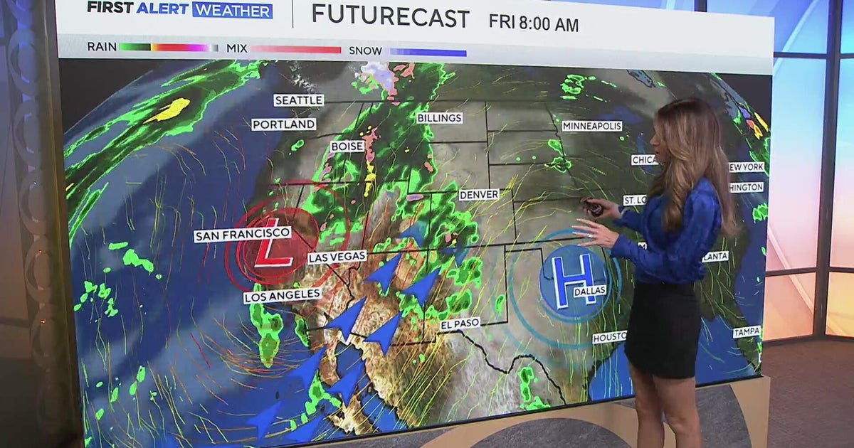 Southwest Colorado braces for heavy rain while dry and warm weather continue for Denver
CBS News Southwest Colorado braces for heavy rain while dry and warm weather continue for Denver I-25 expansion project in Northern Colorado nears completion Ugandan priest released from ICE custody after more than a…
Air quality
Air quality is satisfactory, and air pollution poses little or no risk.
Forecast
- WedGood
- ThuGood
Fort Collins, CO reporting area · 1 hr ago. Data from AirNow (EPA and its state, local and tribal partners); preliminary and subject to change.
Sun & moon
Almanac
MonthlyFort Collins, records since 1893. Normals 1991–2020. Data from NOAA's Regional Climate Centers (ACIS).
Nearby
- Fort Collins 18 km
- Greeley 32 km
- Boulder 48 km
- Longmont 29 km
- Broomfield 56 km
- Brighton 54 km
- Windsor 17 km
- Lafayette 48 km
- Erie 42 km
- Evans 34 km
- Louisville 50 km
- Johnstown 18 km
Forecasters' discussion
From the National Weather Service office in BOU, issued 39 min ago
Key Messages
- Warm and dry conditions continue across the lower elevations for the next few days, with scattered light rain and snow showers across the higher elevations.
- Cooler, more unsettled weather returns this weekend across the forecast area.
- At least a brief warm-up likely sometime early next week.
Bou Watches
None.
Forecasts, observations and alerts in the United States come from the National Weather Service (NOAA); radar from NOAA's Multi-Radar Multi-Sensor system; satellite imagery from NASA's Global Imagery Browse Services (GIBS) and NOAA's GOES satellites; the map from the U.S. Geological Survey's National Map; air quality from AirNow (EPA and its partners); hurricane information from the National Hurricane Center; climate normals and records from NOAA's Regional Climate Centers (ACIS). Forecasts outside the United States and the UV index: MET Norway (CC BY 4.0); observations outside the U.S.: airport reports via NOAA's Aviation Weather Center. Place names: GeoNames (CC BY 4.0). Data are copied on a schedule and may lag the sources; for warnings that affect your safety, follow your local National Weather Service office and emergency officials. Weather news is drawn from the 4Conservative index and reflects what the press published. Terms of use.