Install
Laporte, CO 80535 Weather
Current conditions
Forecast for this hour (no station report in the last two hours)
Forecast
10-day-
Saturday
A slight chance of rain showers. Partly sunny, with a high near 55. Northeast wind 5 to 12 mph, with gusts as high as 20 mph. Chance of precipitation is 20%.
-
Saturday Night
Rain showers likely. Cloudy, with a low around 36. Chance of precipitation is 70%.
-
Sunday
A chance of rain showers. Mostly cloudy, with a high near 53.
National Weather Service forecast updated 2 days ago.
Hourly
Hourly forecast- Now47°19%
- 10 AM49°19%
- 11 AM50°19%
- 12 PM52°15%
- 1 PM52°15%
- 2 PM52°15%
- 3 PM52°15%
- 4 PM52°15%
- 5 PM51°15%
- 6 PM50°43%
- 7 PM48°43%
- 8 PM46°43%
- 9 PM45°43%
- 10 PM44°43%
- 11 PM43°43%
- Sun12 AM42°65%
- 1 AM41°65%
- 2 AM40°65%
- 3 AM39°65%
- 4 AM38°65%
- 5 AM37°65%
- 6 AM37°38%
- 7 AM38°38%
- 8 AM39°38%
10-day forecast
Details- ThuOct 22Mostly Cloudy then Slight Chance Rain Showers17%49°73°
- FriOct 23Mostly Sunny16%45°78°
- TodayOct 24Slight Chance Rain Showers65%36°55°
- SunOct 25Chance Rain Showers44%36°53°
- MonOct 26Chance Rain Showers26%33°56°
- TueOct 27Mostly Sunny35°61°
- WedOct 28Mostly Sunny37°63°
- ThuOct 29Partly cloudy32°48°
- FriOct 30Partly cloudy34°57°
- SatOct 31Mostly sunny37°59°
Days after the National Weather Service's seven are MET Norway's outlook, a computer model with no forecaster's review.
Radar
Full mapWeather news near Laporte
More weather news-
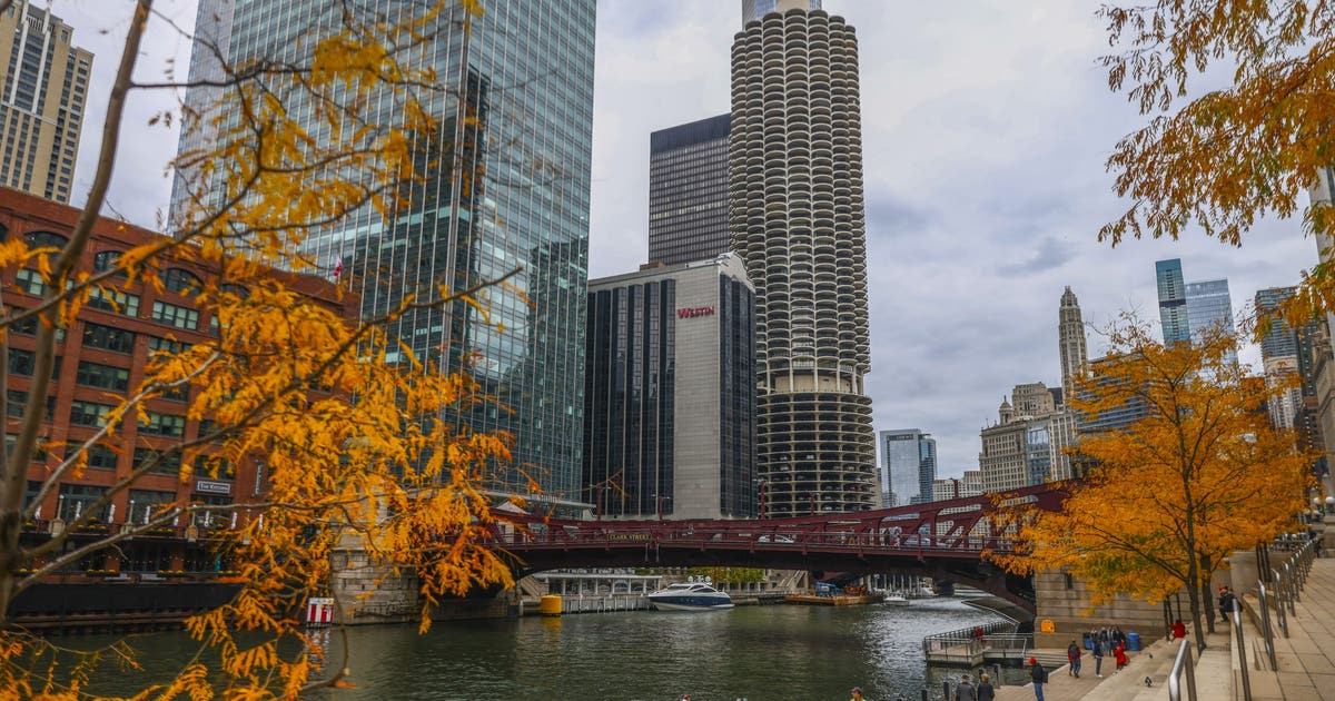 Chicago area weather: Frost Advisory as temps fall into the 30s tonight
CHICAGO - A nice weekend is underway with sunny skies and cool, fall-like temperatures. Today’s high temperatures will be in the upper 50s. Chicago’s average high temperature for October 17th is 62 degrees, so we’re a…
-
 FROSTY morning for Michiana
ABC57 News in South Bend, Ind. covers all of Michiana including St. Joseph, Elkhart, Kosciusko, LaPorte and Marshall counties in Indiana and Berrien, Cass, Van Buren and St. Joseph counties in Mich. FROSTY morning for…
-
 Cold mornings, cool days this weekend
ABC57 News in South Bend, Ind. covers all of Michiana including St. Joseph, Elkhart, Kosciusko, LaPorte and Marshall counties in Indiana and Berrien, Cass, Van Buren and St. Joseph counties in Mich. Cold mornings, cool…
-
 Frost advisory issued for parts of Chicago area, with frigid temps possible
Warm temps set to return, too The Chicago area will have to deal with another night of chilly temperatures, and parts of the region will be under a frost advisory overnight. According to the National Weather Service…
-
 Thursday evening showers with more rain coming up in southern Colorado
KOAA News 5 Tonight's Forecast:A few more showers are expected for the Pikes Peak Region, Pueblo county and the plains are expected for Thursday evening Overnight lows will drop into the 40s and 50s for most across…
-
 Rain showers linger tonight into Friday morning in southern Colorado
More showers across the state for Thursday evening and into the coming days. By the weekend a major cool down in temperatures is expected too. THURSDAY NIGHT: Southern Colorado will continue to see showers linger…
-
 It's Only October, But Colorado Forecasters Are Already Warning About Avalanches
Powder and Yahoo may earn commission from links in this article. Halloween hasn't arrived yet, but avalanche forecasters in Colorado are already asking people who might go backcountry skiing to stay safe. The cautionary…
-
 #Drought news October 22, 2026: Improvements occurred across portions of #Kansas, #Nebraska, #Colorado, #Wyoming, #Utah, #Arizona and #NewMexico
Drought news October 22, 2026: Improvements occurred across portions of #Kansas, #Nebraska, #Colorado, #Wyoming, #Utah, #Arizona and #NewMexico coyotegulch.blog Click on a thumbnail graphic to view a gallery of drought…
-
 Rain eases Western Colorado drought, but roads turn slick
GRAND JUNCTION, Colo. (KJCT) - Western Colorado is getting some much needed rain, but the wet weather also creates the conditions for hazardous road conditions. Recent rain is helping Western Colorado make up for a…
-
 Showers chances in southern Colorado on Thursday with mild temperatures
KKTV - Lingering showers for some Thursday PM into Friday WEDNESDAY NIGHT: More southwestern Colorado mountain showers are possible with risks of flooding and mudslides. Southern Colorado stays dry for the evening with…
Air quality
Air quality is satisfactory, and air pollution poses little or no risk.
Forecast
- SatGood
- SunGood
- MonGood
Fort Collins, CO reporting area · 1 hr ago. Data from AirNow (EPA and its state, local and tribal partners); preliminary and subject to change.
Sun & moon
Almanac
MonthlyFort Collins, records since 1893. Normals 1991–2020. Data from NOAA's Regional Climate Centers (ACIS).
Nearby
- Fort Collins 8 km
- Greeley 44 km
- Longmont 52 km
- Loveland 27 km
- Windsor 27 km
- Evans 48 km
- Johnstown 39 km
- Wellington 14 km
- Milliken 42 km
- Estes Park 43 km
- Berthoud 37 km
- Eaton 39 km
Forecasters' discussion
From the National Weather Service office in BOU, issued 3 hrs ago
Key Messages
- Cooler weather returns this weekend with chances for rain, mainly for the eastern plains.
- Still a rather uncertain precipitation forecast for much of the I-25 corridor and mountains... but increasing chance for light rain/snow Saturday night and again Sunday night.
- A cool start to next week, but a warming and drying trend likely by mid-week.
Bou Watches
None.
Forecasts, observations and alerts in the United States come from the National Weather Service (NOAA); radar from NOAA's Multi-Radar Multi-Sensor system; satellite imagery from NASA's Global Imagery Browse Services (GIBS) and NOAA's GOES satellites; the map from the U.S. Geological Survey's National Map; air quality from AirNow (EPA and its partners); hurricane information from the National Hurricane Center; climate normals and records from NOAA's Regional Climate Centers (ACIS). Forecasts outside the United States and the UV index: MET Norway (CC BY 4.0); observations outside the U.S.: airport reports via NOAA's Aviation Weather Center. Place names: GeoNames (CC BY 4.0). Data are copied on a schedule and may lag the sources; for warnings that affect your safety, follow your local National Weather Service office and emergency officials. Weather news is drawn from the 4Conservative index and reflects what the press published. Terms of use.