Install
Winters, TX 79567 Weather
Current conditions
Observed at Abilene, Abilene Regional Airport · 22 min ago
Forecast
10-day-
Wednesday
Sunny, with a high near 81. South southeast wind 0 to 5 mph.
-
Wednesday Night
Partly cloudy. Low around 54, with temperatures rising to around 57 overnight. Southeast wind 0 to 5 mph.
-
Thursday
Mostly sunny, with a high near 84. Southeast wind 0 to 5 mph.
National Weather Service forecast updated 3 hrs ago.
Hourly
Hourly forecast- Now54°
- 7 AM54°
- 8 AM54°
- 9 AM57°
- 10 AM65°
- 11 AM70°
- 12 PM74°
- 1 PM77°
- 2 PM79°
- 3 PM80°
- 4 PM81°
- 5 PM80°
- 6 PM79°
- 7 PM76°
- 8 PM71°
- 9 PM67°
- 10 PM65°
- 11 PM64°
- Thu12 AM63°
- 1 AM61°
- 2 AM60°
- 3 AM59°
- 4 AM58°
- 5 AM57°
10-day forecast
Details- TonightOct 20Mostly Clear54°
- TodayOct 21Sunny54°81°
- ThuOct 22Mostly Sunny57°84°
- FriOct 23Mostly Sunny57°82°
- SatOct 24Partly Sunny60°80°
- SunOct 25Mostly Cloudy17%57°76°
- MonOct 26Chance Rain Showers39%53°77°
- TueOct 27Chance Rain Showers39%71°
- WedOct 28Sunny45°60°
- ThuOct 29Sunny39°61°
Days after the National Weather Service's seven are MET Norway's outlook, a computer model with no forecaster's review.
Radar
Full mapWeather news near Winters
More weather news-
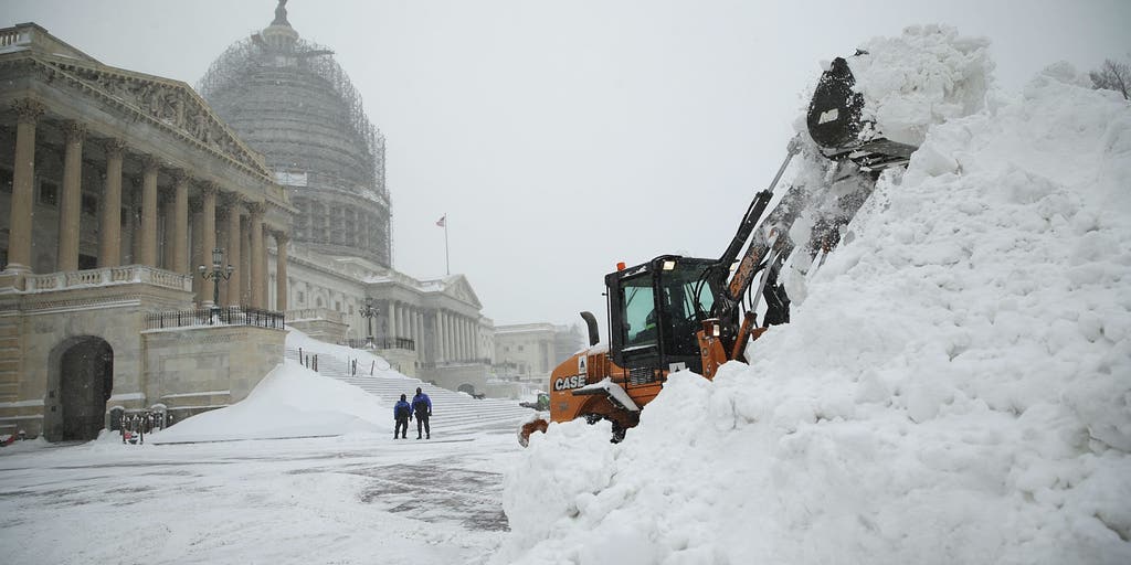 Could history repeat itself? How past Super El Niño winters offer clues about what's ahead
Winter is near, and super El Niño is forecast to make it quite a winter to remember. FOX Weather Meteorologists Stephen Morgan, Bayne Froney, Britta Merwin and Craig Herrera break down the forecast and talk about past…
-
 NOAA winter weather forecast calls for drought relief throughout Louisiana
NOAA’s winter outlook calls for wetter-than-normal conditions in Louisiana. LSU Health climatologist Barry Keim says that’s typical during El Niño winters. Keim says a strong El Niño strengthens the southerly jet…
-
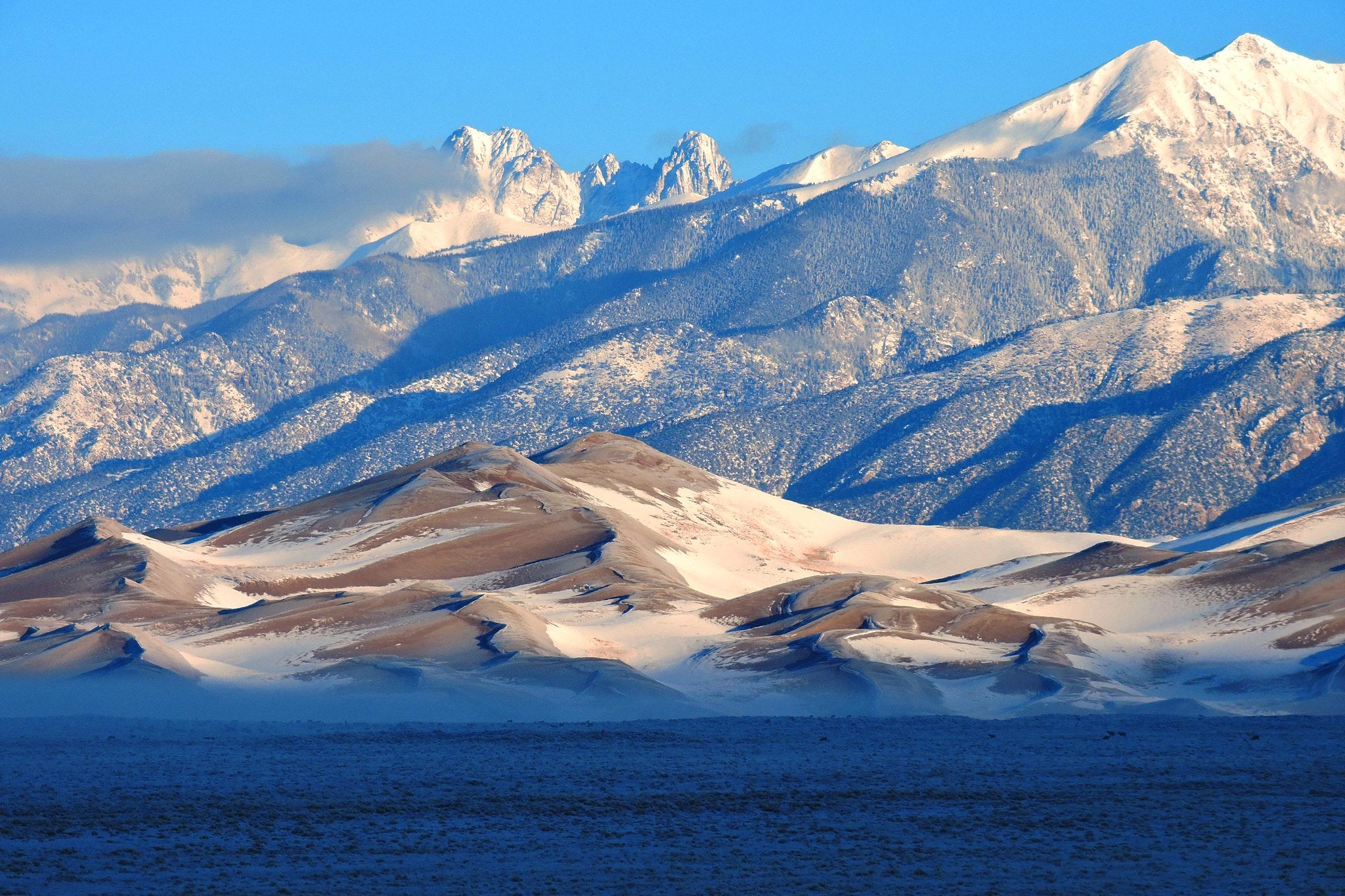 5 El Niño myths, busted. Here's what the 'Godzilla' El Niño could really mean for Colorado
Snow on Star Dune and Crestone Peaks in Great Sand Dunes National Park and Preserve. As a record-breaking El Niño continues to strengthen in the Pacific Ocean, the world is entering uncharted territory. As El Niño…
- Outlook for Winter 2026 - 2027
2026 has been all about a strengthening El Niño. It has caused wild weather, including flooding in the Desert Southwest and Ohio Valley, as well as intense heat in Southern California. Additionally, the year has seen a…
-
 Super El Niño 2026: Moving in the Winter in Cleveland
Northeast Ohio may be heading into a winter unlike any most residents have lived through. In its September 10 update, NOAA's Climate Prediction Center said El Niño is strengthening, with a greater than 90% chance of a…
- Wisconsin Winter 2026-27: Milwaukee, 55.8-Inch Snow History
NOAA historical maps covering 1950–2009 show that strong El Niño winters have generally favored below-average snowfall across Wisconsin and the broader Upper Midwest. However, those maps do not establish a comparable…
-
 Can Minnesota, Wisconsin Still Get Big Snowstorms During an El Niño Winter?
If you've been paying attention to the winter forecasts lately, you've probably heard the same message over and over: warm, mild, and maybe not much snow. For a lot of people across Minnesota and Wisconsin, that sounds…
-
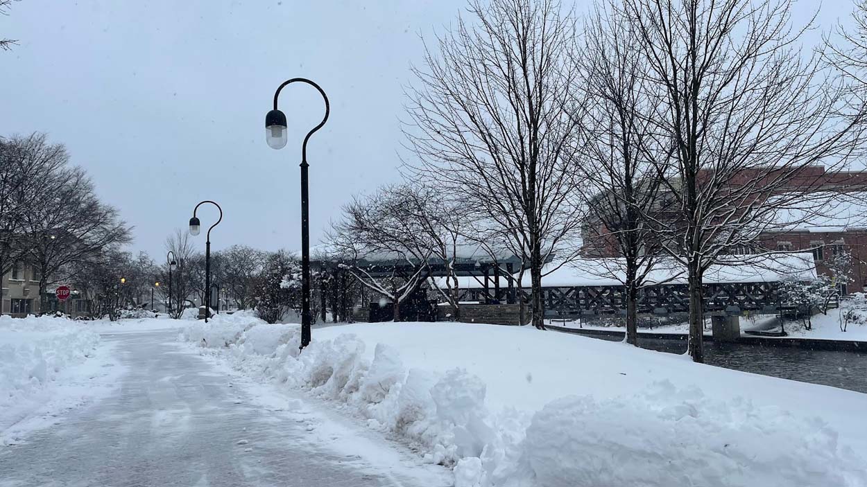 Historic El Niño could bring a warmer Midwest winter
A forecasted historic El Niño could lead to a warmer-than-average winter season for the Midwest, according to experts at the National Weather Service. The NWS released its Winter 2026-27 Outlook on Oct. 15 in…
- Newly released winter outlook favors milder winter as super El Nino builds
DAVENPORT, Iowa (KWQC) - NOAA has released its official winter weather outlook for the 2026-2027 season, highlighting the Quad Cities region in a potential pattern for above-average temperatures. The primary driver…
-
 Potentially historic El Niño could bring wetter winter, testing Kern County farm
by Michelle Roldan, Eyewitness News BAKERSFIELD, Calif. (KBAK/KBFX) — A potentially historic El Niño could bring above-average rainfall to Kern County this winter, adding another layer of uncertainty for local farmers…
Sun & moon
Almanac
MonthlyBallinger 2 Nw, records since 1897. Normals 1991–2020. Data from NOAA's Regional Climate Centers (ACIS).
Nearby
Forecasters' discussion
From the National Weather Service office in SJT, issued 5 hrs ago
Key Messages
- A gradual warming trend will continue through the upcoming week.
- Increasing chances for precipitation Sunday into early next week, along with cooler temperatures.
Short Term
(Today and tonight) Issued at 1256 AM CDT Wed Oct 21 2026
Model blends continue to be a little warm for afternoon highs and will stick closer to some of the 2m temperatures from the hi resolution models. This puts highs in the lower 80s across much of the area. Overnight lows have been a little too warm as well, and shaved a degree or two off the model blends for tonight as well, putting most areas in the low to mid 50s.
Long Term
(Thursday through Tuesday) Issued at 1250 AM CDT Wed Oct 21 2026
The upper ridge will remain centered over the Plain through Friday but will begin shifting eastward by Saturday, as an upper level trough approaches from the west. Warm temperatures will continue, with highs Thursday and Friday in the low to mid 80s, with overnight lows in the 50s and lower 60s.
The upper trough will gradually move east across the Plains by early next week. Ahead of the trough, moisture will increase over the weekend, with an increase in cloud cover and slightly cooler temperatures. Rain chances will begin to increase across the area as early as Sunday afternoon and evening across far western counties, but the better chance for showers and a few storms will be Monday and Monday night, as a cold front moves in from the north. Model blends maintain low to medium chance rain chances (20%-40%) by this time, with rain chances tapering off on Tuesday. There is still some uncertainty regarding the evolution and timing of this system, and additional forecast changes are likely as we head towards the weekend. In addition to the rain chances, cooler temperatures will return to the area, with highs in the 70s from Sunday through Tuesday.
Aviation
(06Z TAFS) Issued at 1211 AM CDT Wed Oct 21 2026
VFR conditions and light south to southeast winds will continue across West Central Texas terminals through Wednesday evening.
Forecasts, observations and alerts in the United States come from the National Weather Service (NOAA); radar from NOAA's Multi-Radar Multi-Sensor system; satellite imagery from NASA's Global Imagery Browse Services (GIBS) and NOAA's GOES satellites; the map from the U.S. Geological Survey's National Map; air quality from AirNow (EPA and its partners); hurricane information from the National Hurricane Center; climate normals and records from NOAA's Regional Climate Centers (ACIS). Forecasts outside the United States and the UV index: MET Norway (CC BY 4.0); observations outside the U.S.: airport reports via NOAA's Aviation Weather Center. Place names: GeoNames (CC BY 4.0). Data are copied on a schedule and may lag the sources; for warnings that affect your safety, follow your local National Weather Service office and emergency officials. Weather news is drawn from the 4Conservative index and reflects what the press published. Terms of use.