Install
Austin, TX 78729 Weather
Current conditions
Forecast for this hour (no station report in the last two hours)
Forecast
10-day-
Friday Night
Mostly clear, with a low around 60. South southeast wind 0 to 5 mph.
-
Saturday
Mostly sunny, with a high near 85. Southeast wind 0 to 10 mph, with gusts as high as 25 mph.
-
Saturday Night
Partly cloudy, with a low around 61. Southeast wind 5 to 10 mph, with gusts as high as 20 mph.
National Weather Service forecast updated 22 hrs ago.
Hourly
Hourly forecast- Now82°
- 7 PM79°
- 8 PM74°
- 9 PM72°
- 10 PM70°
- 11 PM68°
- Sat12 AM67°
- 1 AM66°
- 2 AM64°
- 3 AM63°
- 4 AM62°
- 5 AM61°
- 6 AM60°
- 7 AM60°
- 8 AM61°
- 9 AM65°
- 10 AM70°
- 11 AM74°
- 12 PM78°
- 1 PM81°
- 2 PM83°
- 3 PM85°
- 4 PM85°
- 5 PM84°
10-day forecast
Details- TonightOct 22Mostly Clear60°
- TodayOct 23Sunny60°85°
- SatOct 24Mostly Sunny61°85°
- SunOct 25Partly Sunny58°81°
- MonOct 26Partly Sunny15%61°80°
- TueOct 27Chance Rain Showers26%59°77°
- WedOct 28Mostly Sunny59°79°
- ThuOct 29Partly Sunny then Slight Chance Rain Showers15%79°
- FriOct 30Heavy rain1.46 in66°69°
- SatOct 31Heavy rain1.62 in66°77°
Days after the National Weather Service's seven are MET Norway's outlook, a computer model with no forecaster's review.
Radar
Full mapWeather news near Austin
More weather news- Ozone Alert as Austin Basks in 85-Degree Fall Sizzle
Temperatures should climb through the day, peaking in the mid-80s during the afternoon. Winds will stay light at roughly 5 mph, so the heat may feel more noticeable in exposed areas despite the pleasant start. Wednesday…
-
 Sunny and dry in Texas, but wild weather across U.S. hits both coasts
Temperatures in Austin will climb to just a few degrees above our mid-October average of 82 degrees. Early-rising Texans might notice temperatures beginning to warm up over the next few mornings. Predawn temps will…
-
 Austin weather: How warm will it get as temperatures climb this week?
Central Texas is coming off a stretch of gorgeous fall weather, with crisp mornings in the 40s and 50s and comfortable afternoon highs in the 60s and 70s. While temperatures will gradually warm this week, the good news…
-
 Austin weather: Temps will reach the 80s
FOX 7 Austin Temps will warm back up in Central Texas. Leslie London has the details
-
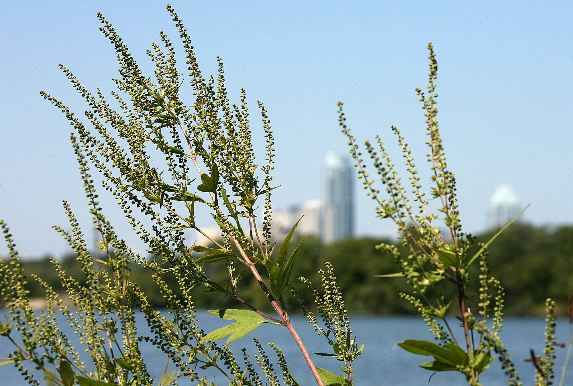 Austin pollen forecast as warm, dry weather returns
Ragweed pollen is wreaking havoc with allergies in Austin. Austin’s brief taste of fall is giving way to a stretch of sunny, warmer weather that could also keep allergy symptoms in the picture. Last week’s cold front…
-
 Texas Warms Back Up, West Texas Rain Chances Return by Friday | Texas Weather Roundup
Crashy the Cold Front is long gone, and Texas is warming back up. South winds and a little more humidity are back this week. Most of the state stays dry, but rain chances creep back into West Texas by Thursday and…
- San Antonio Weather Swings From Crisp Mornings To Summer Heat
The National Weather Service's Austin/San Antonio office says Tuesday will be sunny and warmer, with a high near 84, and the rest of the workweek keeps climbing. That marks a modest update from Hoodline's earlier…
-
 Austin weather: Oct. 18 overnight forecast
FOX 7 Austin FOX 7's Cary Burgess gives the latest weather forecast for all of Central Texas, paired with a peak at what is to come this week.
-
 NWS: Here's when Central Texas will finally cool down for the year
A cold front hit Texas last weekend, bringing a boon for those San Antonio temperatures that make fall feel more like summer part two. But when can residents in South Central Texas expect for the weather to actually…
- Giant Hole Punch Cloud Stuns Austin Skywatchers After Cold Front Blast
A massive circular gap opened up in the clouds over the Austin area on Saturday afternoon, prompting curiosity among Austin-area residents; meteorologists call it a hole punch cloud. The eerie formation, technically…
Air quality
Acceptable. Unusually sensitive people should consider limiting prolonged outdoor exertion.
Forecast
- FriModerate
- SatModerate
- SunModerate
Austin, TX reporting area · 1 hr ago. Data from AirNow (EPA and its state, local and tribal partners); preliminary and subject to change.
Sun & moon
Almanac
MonthlyAustin-camp Mabry, records since 1938. Normals 1991–2020. Data from NOAA's Regional Climate Centers (ACIS).
Nearby
- Round Rock 11 km
- Cedar Park 8 km
- Georgetown 22 km
- Leander 16 km
- Pflugerville 14 km
- Kyle 53 km
- Hutto 24 km
- Brushy Creek 7 km
- Taylor 37 km
- Lakeway 22 km
- Buda 41 km
- Wells Branch 9 km
Forecasts, observations and alerts in the United States come from the National Weather Service (NOAA); radar from NOAA's Multi-Radar Multi-Sensor system; satellite imagery from NASA's Global Imagery Browse Services (GIBS) and NOAA's GOES satellites; the map from the U.S. Geological Survey's National Map; air quality from AirNow (EPA and its partners); hurricane information from the National Hurricane Center; climate normals and records from NOAA's Regional Climate Centers (ACIS). Forecasts outside the United States and the UV index: MET Norway (CC BY 4.0); observations outside the U.S.: airport reports via NOAA's Aviation Weather Center. Place names: GeoNames (CC BY 4.0). Data are copied on a schedule and may lag the sources; for warnings that affect your safety, follow your local National Weather Service office and emergency officials. Weather news is drawn from the 4Conservative index and reflects what the press published. Terms of use.