Install
Brownsville, TX 78523 Weather
Current conditions
Observed at Brownsville, Brownsville / South Padre Island International… · 1 hr ago
Forecast
10-day-
Today
A chance of showers and thunderstorms between 11am and 5pm. Partly sunny, with a high near 84. East northeast wind 3 to 13 mph, with gusts as high as 21 mph. Chance of precipitation is 50%.
-
Tonight
Mostly clear, with a low around 67. East northeast wind 2 to 10 mph.
-
Friday
Sunny. High near 86, with temperatures falling to around 82 in the afternoon. East northeast wind 2 to 13 mph, with gusts as high as 21 mph.
National Weather Service forecast updated 14 min ago.
Hourly
Hourly forecast- Now74°
- 10 AM78°13%
- 11 AM80°25%
- 12 PM81°31%
- 1 PM82°50%
- 2 PM82°46%
- 3 PM83°37%
- 4 PM82°21%
- 5 PM81°11%
- 6 PM80°0.01
- 7 PM77°
- 8 PM76°
- 9 PM75°
- 10 PM74°
- 11 PM73°
- Fri12 AM72°
- 1 AM72°
- 2 AM70°
- 3 AM70°
- 4 AM69°
- 5 AM68°
- 6 AM68°
- 7 AM68°
- 8 AM68°
10-day forecast
Details- TodayOct 22Chance Showers And Thunderstorms50%67°84°
- FriOct 23Sunny70°86°
- SatOct 24Slight Chance Rain Showers16%72°86°
- SunOct 25Partly Sunny69°86°
- MonOct 26Mostly Sunny11%68°86°
- TueOct 27Chance Showers And Thunderstorms41%68°84°
- WedOct 28Slight Chance Rain Showers then Slight Chance Showers And Thunderstorms24%68°83°
- ThuOct 29Heavy showers0.45 in71°79°
- FriOct 30Cloudy0.02 in71°81°
- SatOct 31Partly cloudy70°82°
Days after the National Weather Service's seven are MET Norway's outlook, a computer model with no forecaster's review.
Radar
Full mapWeather news near Brownsville
More weather news- Sunday, Oct. 18, 2026: Spotty shower, temps in the 70s
Download our free KRGV FIRST WARN 5 Weather app for the latest updates right on your phone. Sunday, Oct. 18, 2026: Spotty shower, temps in the 70s You can also follow our KRGV First Warn 5 Weather team on Facebook and…
- Saturday, Oct. 17, 2026: Windy, cooler, temps in the 70s
Download our free KRGV FIRST WARN 5 Weather app for the latest updates right on your phone. Saturday, Oct. 17, 2026: Windy, cooler, temps in the 70s You can also follow our KRGV First Warn 5 Weather team on Facebook and…
-
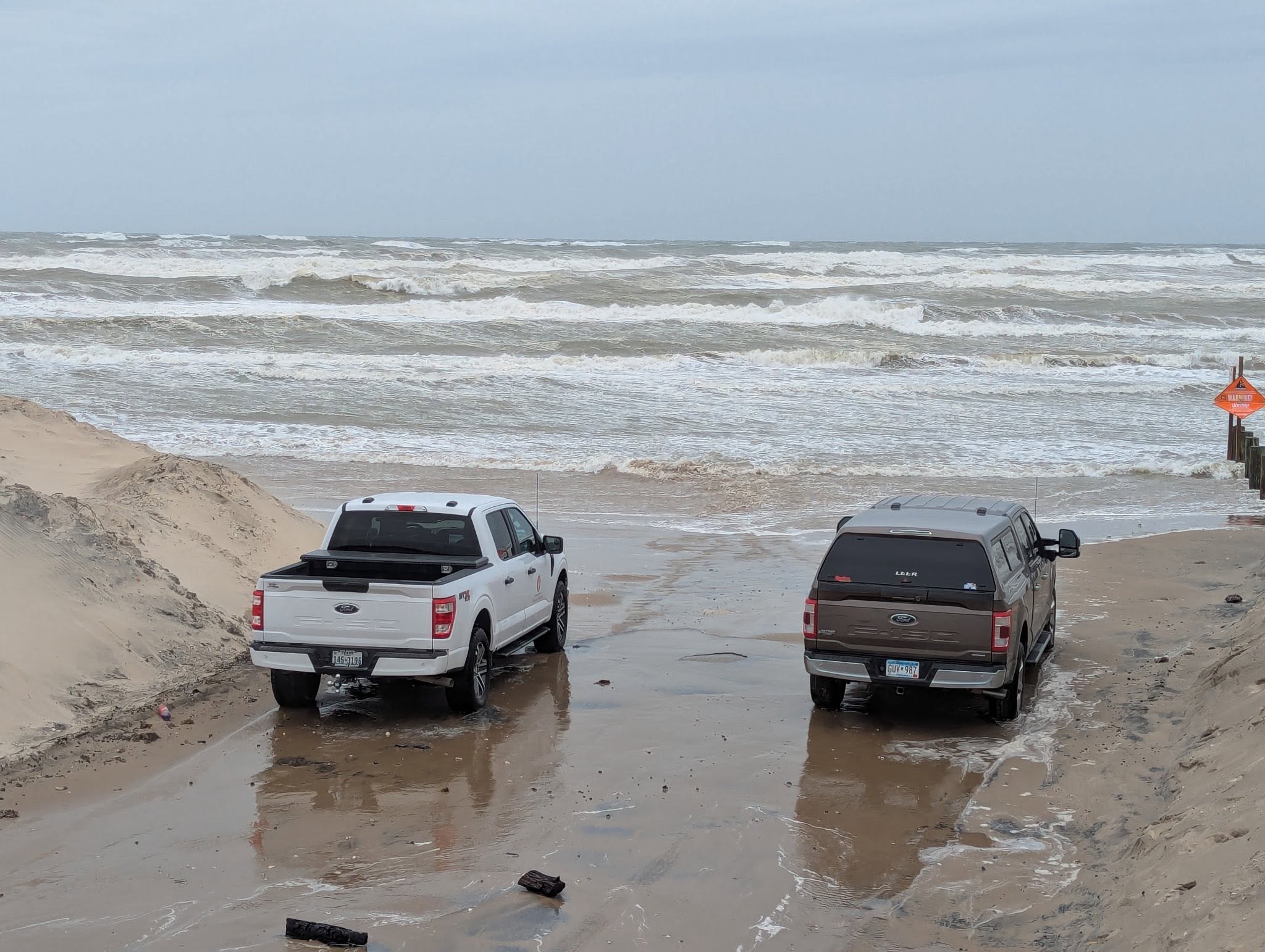 Powerful cold front puts Texas coast on alert for dangerous surf
High surf conditions caused waves to up to the road at Boca Chica Beach in December 2025, prompting Cameron County officials to temporarily close that and other county-owned beach accesses. A strong cold front is…
-
 Warming trend will continue for East Texas this week
KLTV.com 2 accused of trafficking and prostitution at Smith County spa Child dies following wreck on W. Loop 281 in Longview Tyler man indicted on numerous tax fraud charges East Texas Democratic official says she was…
-
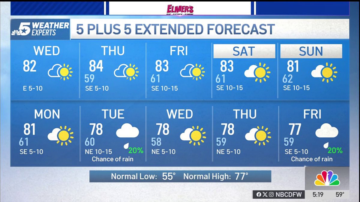 NBC 5 Forecast: A quiet weather pattern continues for North Texas
NBC 5 Dallas-Fort Worth NBC 5 Forecast: A quiet weather pattern continues for North Texas
-
 Storms, flooding possible in parts of Texas. Here's where
The National Weather Service Amarillo says a slight risk for excessive rainfall and flooding is possible on Friday and Saturday, October 23-24, 2026. If you feel like you need a break from all the ups and downs of Texas…
-
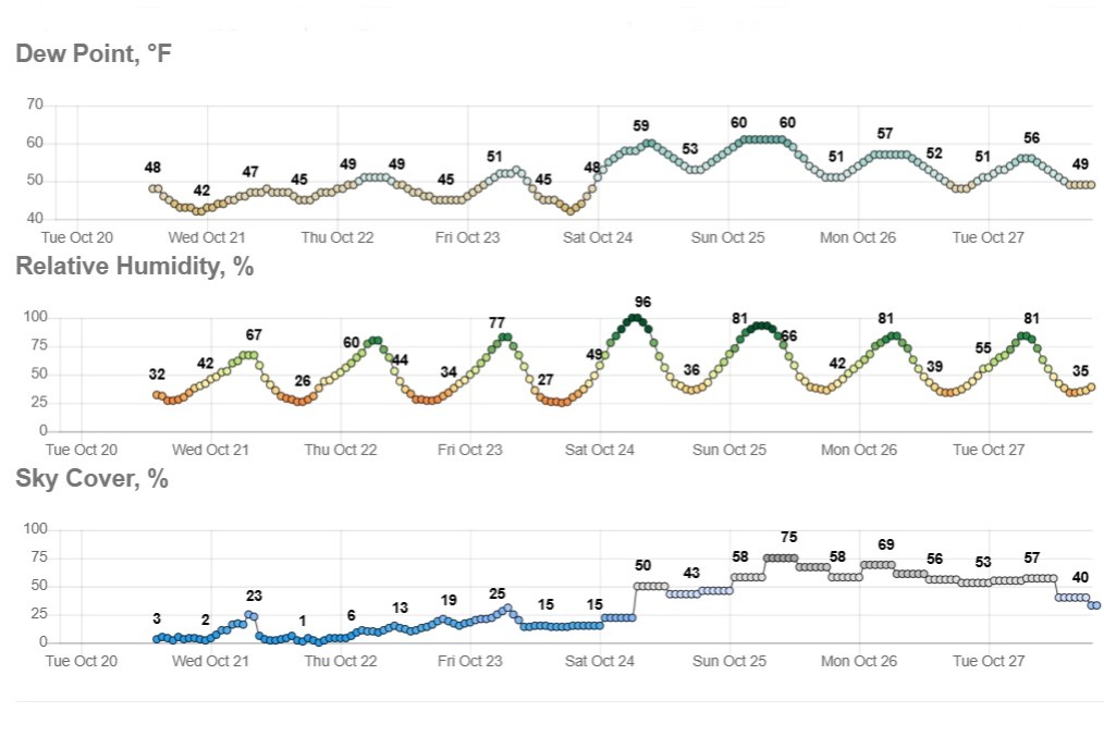 Sunny and dry in Texas, but wild weather across U.S. hits both coasts
Temperatures in Austin will climb to just a few degrees above our mid-October average of 82 degrees. Early-rising Texans might notice temperatures beginning to warm up over the next few mornings. Predawn temps will…
-
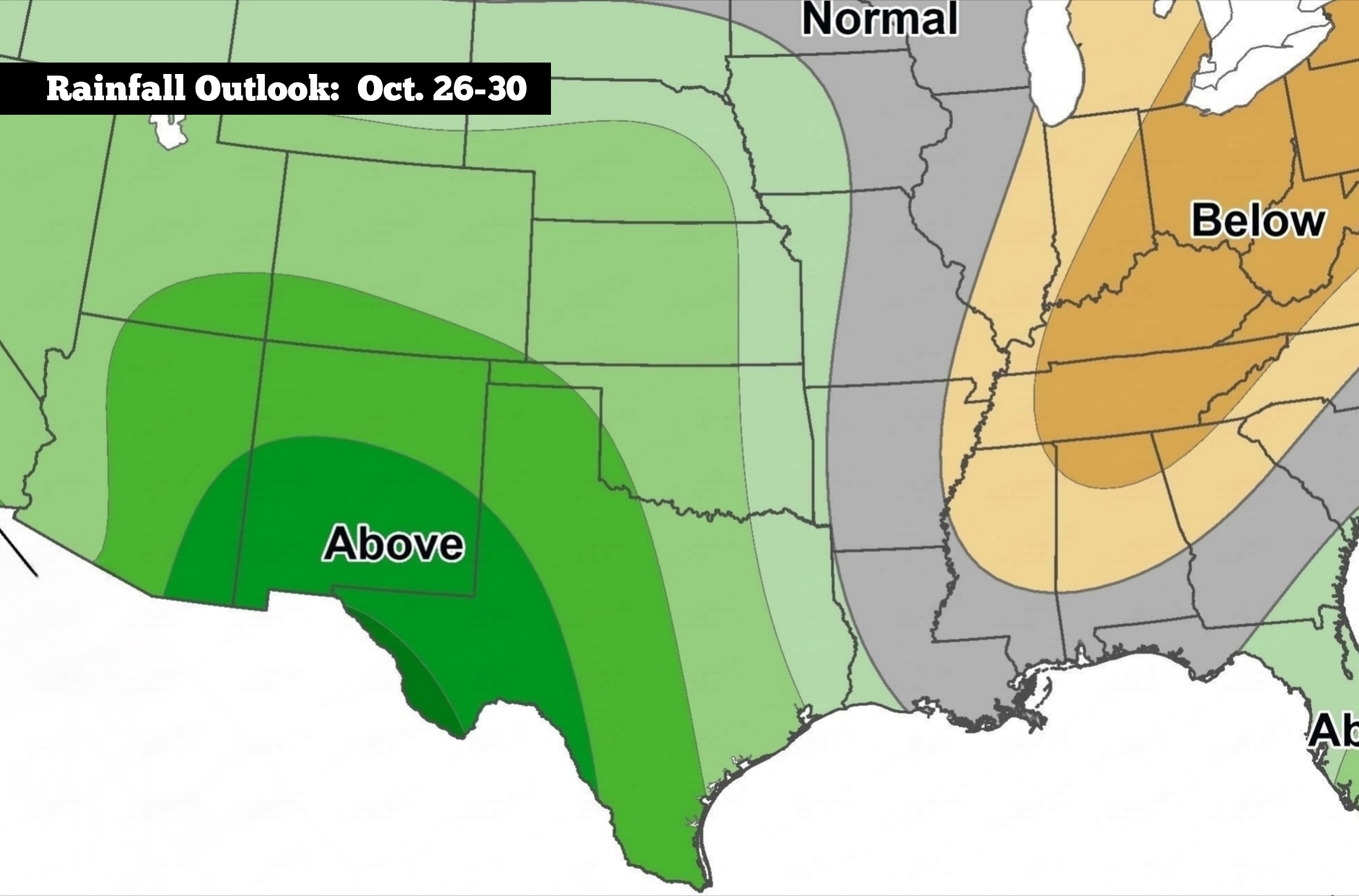 Nice weather for South Texas, but here’s when to expect changes
The Climate Prediction Center’s long-range precipitation outlook shows that Texas is favored to see above-average rainfall during the week of Oct. 26-30. After last week’s cold front, the weather across South Texas has…
-
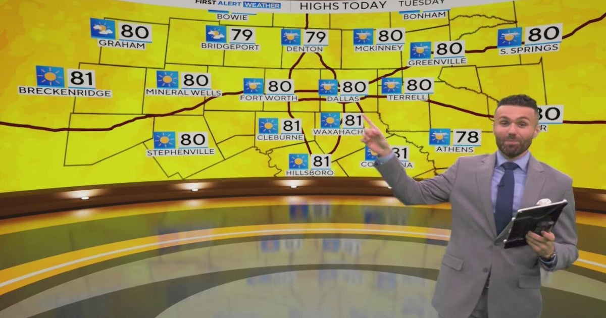 Great weather in North Texas this week
CBS News Baltimore 8am CBS News Boston 8am CBS News Chicago 7am CBS News Colorado This Morning 6am CBS News Los Angeles Mornings 5am CBS News Miami 8am CBS News New York 8am CBS News Texas 7am
-
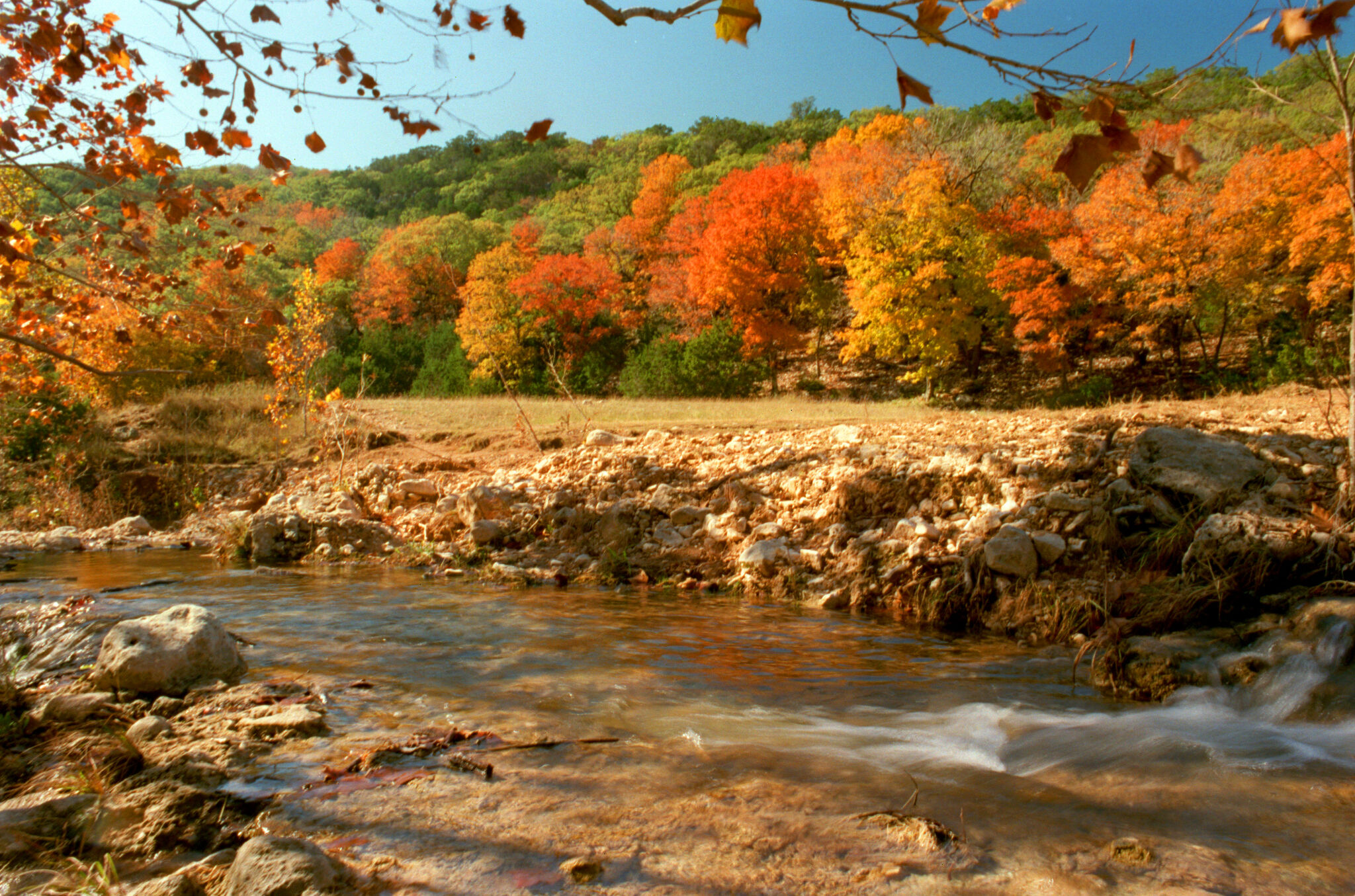 When will fall foliage peak across Texas? Here’s a timeline.
Maple trees are turning colors at Lost Maples State Nature Area near Vanderpool. The park is a popular destination in the fall, and reservations are recommended. Fall weather finally arrived across all of Texas last…
Air quality
Air quality is satisfactory, and air pollution poses little or no risk.
Forecast
- ThuGood
- FriGood
- SatGood
Brownsville-McAllen, TX reporting area · 1 hr ago. Data from AirNow (EPA and its state, local and tribal partners); preliminary and subject to change.
Sun & moon
Almanac
MonthlyBrownsville Area, records since 1878. Normals 1991–2020. Data from NOAA's Regional Climate Centers (ACIS).
Nearby
- Heroica Matamoros 11 km
- Ciudad Río Bravo 57 km
- Harlingen 29 km
- Valle Hermoso 45 km
- Weslaco 51 km
- San Benito 20 km
- Mercedes 43 km
- Donna 57 km
- Nuevo Progreso 44 km
- La Feria 36 km
- Cameron Park Colonia 4 km
- Cameron Park 5 km
Forecasters' discussion
From the National Weather Service office in BRO, issued 1 day ago
Key Messages
Updated at 632 AM CDT Wed Oct 21 2026
- Showers and thunderstorms over the Gulf moving inland will bring low to moderate (20-50%) rain chances primarily east of US-281 today, and across Deep South Texas into Thursday.
- Narrow beaches around high tide are possible today.
- Overall seasonable temperatures and pleasant weather expected this weekend.
- Rain chances return early next week as a mid-level trough approaches the area.
Discussion
Issued at 1045 PM CDT Tue Oct 20 2026
Rain chances increase through Wednesday morning as deep moisture interacts with coastal troughing offshore. Isolated showers over the Gulf waters will continue to move west-southwest, bringing isolated showers to the coast. As moisture encroaches westward, isolated to scattered showers and thunderstorms are expected to move inland late Wednesday morning through Wednesday afternoon. Shower coverage should diminish as it travels inland, with moderate PoPs (40-70%) focused east of US-281, highest along the coast. Isolated showers will continue working their way inland Wednesday night into Thursday. Rainfall amounts should generally be less than a half an inch, but isolated higher amounts to 2 inches are possible under heavier showers. Rain chances diminish Friday through the weekend bar afternoon sea breeze showers, before increasing again early next week ahead of an approaching trough.
High pressure over NE Mexico will return fair weather Friday into the weekend, with isolated sea breeze showers possible in the afternoons. Temperatures remain seasonable with highs in the upper 80s and lows in the 60s to low 70s.
Long-period swell and northeast winds will keep local beaches narrow. Minor coastal flooding is possible near high tide. Current guidance keeps water levels below minor flooding thresholds, but conditions will continue to be monitored.
Aviation
(12Z TAFS) Issued at 632 AM CDT Wed Oct 21 2026
Predominately VFR conditions are forecast to continue through the period, however isolated to scattered convection this afternoon could briefly produce MVFR ceilings and visibilities. Northerly winds are forecast to shift easterly to southeasterly through the day, before becoming light and variable again overnight.
Marine
Issued at 1045 PM CDT Tue Oct 20 2026
Lingering moderate seas will result in intermittent SCEC conditions on the Gulf today. There is a medium to high (40-80%) chance of rain Wednesday and Wednesday night as a coastal trough interacts with deep moisture. Thursday and Friday, conditions improve as seas decrease to slight. Gentle to fresh onshore winds will continue through the week. This weekend, conditions may deteriorate yet again ahead of an approaching trough.
Forecasts, observations and alerts in the United States come from the National Weather Service (NOAA); radar from NOAA's Multi-Radar Multi-Sensor system; satellite imagery from NASA's Global Imagery Browse Services (GIBS) and NOAA's GOES satellites; the map from the U.S. Geological Survey's National Map; air quality from AirNow (EPA and its partners); hurricane information from the National Hurricane Center; climate normals and records from NOAA's Regional Climate Centers (ACIS). Forecasts outside the United States and the UV index: MET Norway (CC BY 4.0); observations outside the U.S.: airport reports via NOAA's Aviation Weather Center. Place names: GeoNames (CC BY 4.0). Data are copied on a schedule and may lag the sources; for warnings that affect your safety, follow your local National Weather Service office and emergency officials. Weather news is drawn from the 4Conservative index and reflects what the press published. Terms of use.