Install
San Antonio, TX 78229 Weather
Current conditions
Forecast for this hour (no station report in the last two hours)
Forecast
10-day-
Friday
Sunny, with a high near 84. East wind 0 to 10 mph.
-
Friday Night
Mostly clear, with a low around 62. East southeast wind 5 to 10 mph.
-
Saturday
Partly sunny, with a high near 83. East wind 5 to 10 mph, with gusts as high as 20 mph.
National Weather Service forecast updated 1 day ago.
Hourly
Hourly forecast- Now83°
- 4 PM84°
- 5 PM83°
- 6 PM82°
- 7 PM79°
- 8 PM76°
- 9 PM73°
- 10 PM72°
- 11 PM70°
- Sat12 AM68°
- 1 AM66°
- 2 AM65°
- 3 AM64°
- 4 AM63°
- 5 AM62°
- 6 AM62°
- 7 AM62°
- 8 AM64°
- 9 AM67°
- 10 AM70°
- 11 AM74°
- 12 PM77°
- 1 PM80°
- 2 PM82°
10-day forecast
Details- ThuOct 22Mostly Sunny60°84°
- TodayOct 23Sunny62°84°
- SatOct 24Partly Sunny64°83°
- SunOct 25Mostly Cloudy62°81°
- MonOct 26Partly Sunny19%64°79°
- TueOct 27Slight Chance Showers And Thunderstorms then Chance Showers And Thunderstorms34%60°77°
- WedOct 28Mostly Sunny60°77°
- ThuOct 29Showers0.08 in68°81°
- FriOct 30Cloudy0.07 in61°76°
- SatOct 31Heavy rain1.17 in60°73°
Days after the National Weather Service's seven are MET Norway's outlook, a computer model with no forecaster's review.
Radar
Full mapWeather news near San Antonio
More weather news-
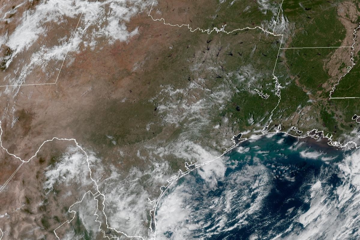 Was San Antonio fooled by 'false fall'? Temps could flirt with 90.
Enjoy the fall weather while you can, San Antonio. Tuesday’s mild temperatures could even be considered part of a “false fall” in South Texas, given how close the temperatures will flirt once again with 90 degrees for…
-
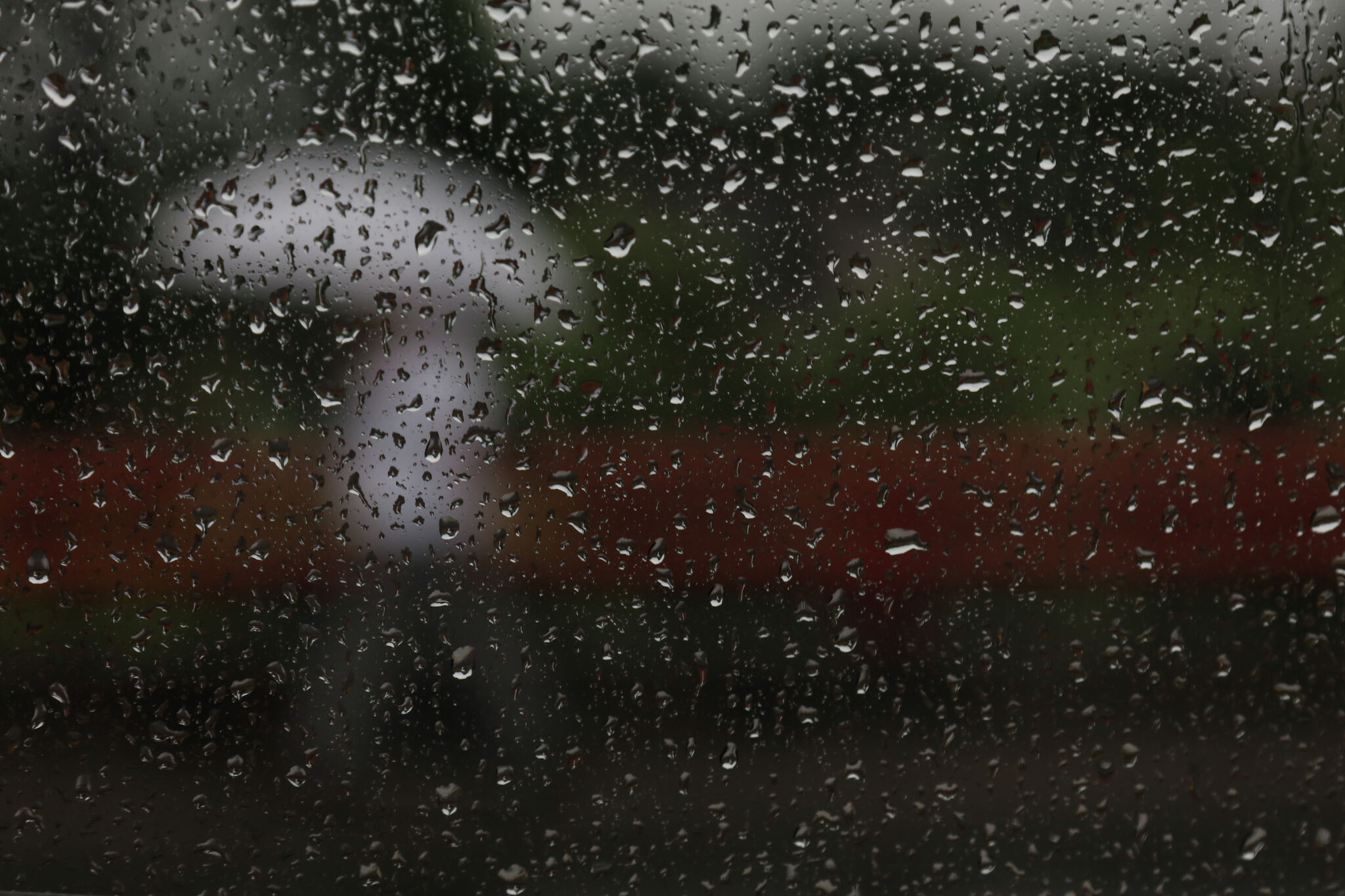 Storms, flooding possible in parts of Texas. Here's where
The National Weather Service Amarillo says a slight risk for excessive rainfall and flooding is possible on Friday and Saturday, October 23-24, 2026. If you feel like you need a break from all the ups and downs of Texas…
-
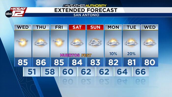 Consistently warm and quiet now through the weekend
COOLER START THAN YESTERDAY Temperatures this morning are starting in the mid 50s, so it will feel cooler than what you remember from yesterday. We’ll spend much of the late morning hours with very comfortable…
- San Antonio Weather Swings From Crisp Mornings To Summer Heat
The National Weather Service's Austin/San Antonio office says Tuesday will be sunny and warmer, with a high near 84, and the rest of the workweek keeps climbing. That marks a modest update from Hoodline's earlier…
-
 Summer recap: The Big Country’s summer of relentless triple-digit heat
BIG COUNTRY, Texas (KTAB/KRBC) – The summer of 2026 is one the Big Country won't soon forget, thanks to relentless heat that baked the region, especially from August through mid-September. Abilene recorded its first…
-
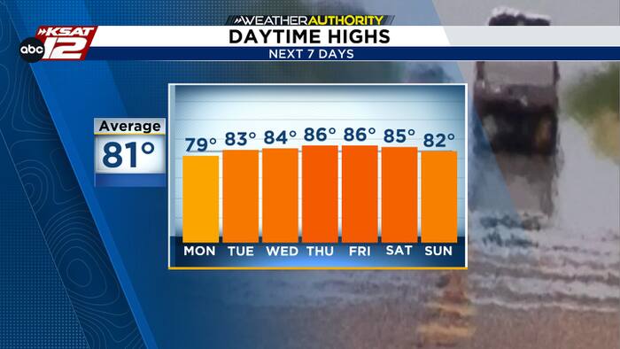 Cool mornings, warm afternoons
The latest in news, weather and sports for San Antonio and Central and South Texas. Justin Horne, KSAT Weather Authority Meteorologist Air Force identifies service member who died after fall during UTSA pregame ceremony…
-
 NWS: Here's when Central Texas will finally cool down for the year
A cold front hit Texas last weekend, bringing a boon for those San Antonio temperatures that make fall feel more like summer part two. But when can residents in South Central Texas expect for the weather to actually…
-
 Old Farmer's Almanac predicts warm Thanksgiving, rain chances for South Texas
If you were hoping to pull out the cute winter boots and Fall-inspired sweaters this Thanksgiving holiday, you may be disappointed. The Old Farmer's Almanac has released its long-range forecast for Thanksgiving 2026…
-
 Old Farmer's Almanac's Thanksgiving 2026 weather forecast
Scenic views of the Riverwalk on a rainy day in San Antonio If you were hoping to pull out the cute winter boots and Fall-inspired sweaters this Thanksgiving holiday, you may be disappointed. The Old Farmer's Almanac…
-
 After cool Sunday, big changes expected for South Texas weather. Here's what's next.
If you're a fall-weather fan, then Sunday will be the absolute perfect day to get outside. A chilly, crisp morning will be followed by a cool, sunny afternoon with very little wind throughout the region. After making it…
Air quality
Acceptable. Unusually sensitive people should consider limiting prolonged outdoor exertion.
Forecast
- FriModerate
- SatModerate
- SunModerate
San Antonio, TX reporting area · 1 hr ago. Data from AirNow (EPA and its state, local and tribal partners); preliminary and subject to change.
Sun & moon
Almanac
MonthlySan Antonio Area, records since 1885. Normals 1991–2020. Data from NOAA's Regional Climate Centers (ACIS).
Nearby
- New Braunfels 48 km
- Schertz 30 km
- Cibolo 34 km
- Seguin 59 km
- Converse 25 km
- Canyon Lake 51 km
- Universal City 27 km
- Live Oak 24 km
- Boerne 36 km
- Timberwood Park 22 km
- Hondo 58 km
- Selma 27 km
Forecasts, observations and alerts in the United States come from the National Weather Service (NOAA); radar from NOAA's Multi-Radar Multi-Sensor system; satellite imagery from NASA's Global Imagery Browse Services (GIBS) and NOAA's GOES satellites; the map from the U.S. Geological Survey's National Map; air quality from AirNow (EPA and its partners); hurricane information from the National Hurricane Center; climate normals and records from NOAA's Regional Climate Centers (ACIS). Forecasts outside the United States and the UV index: MET Norway (CC BY 4.0); observations outside the U.S.: airport reports via NOAA's Aviation Weather Center. Place names: GeoNames (CC BY 4.0). Data are copied on a schedule and may lag the sources; for warnings that affect your safety, follow your local National Weather Service office and emergency officials. Weather news is drawn from the 4Conservative index and reflects what the press published. Terms of use.