Install
Boerne, TX 78006 Weather
Current conditions
Observed at Kerrville, Kerrville Municipal Airport/Louis Schreiner Field · 51 min ago
Forecast
10-day-
Today
Sunny, with a high near 83. East wind around 5 mph.
-
Tonight
Mostly clear, with a low around 55. Northeast wind 0 to 5 mph.
-
Thursday
Sunny, with a high near 84. Northeast wind 0 to 5 mph.
National Weather Service forecast updated 1 hr ago.
Hourly
Hourly forecast- Now80°
- 2 PM81°
- 3 PM82°
- 4 PM83°
- 5 PM82°
- 6 PM80°
- 7 PM76°
- 8 PM69°
- 9 PM65°
- 10 PM63°
- 11 PM62°
- Thu12 AM62°
- 1 AM61°
- 2 AM60°
- 3 AM58°
- 4 AM57°
- 5 AM56°
- 6 AM56°
- 7 AM55°
- 8 AM56°
- 9 AM61°
- 10 AM70°
- 11 AM75°
- 12 PM77°
Daily forecast
Details- TodayOct 21Sunny55°83°
- ThuOct 22Sunny54°84°
- FriOct 23Sunny56°82°
- SatOct 24Mostly Sunny58°80°
- SunOct 25Partly Sunny54°78°
- MonOct 26Mostly Sunny then Slight Chance Rain Showers28%56°78°
- TueOct 27Chance Rain Showers37%54°75°
- WedOct 28Mostly sunny50°65°
- ThuOct 29Sunny44°64°
Days after the National Weather Service's seven are MET Norway's outlook, a computer model with no forecaster's review.
Radar
Full mapWeather news near Boerne
More weather news-
 Wind advisory issued for San Antonio as powerful cold front brings gusts near 50 mph
by Meteorologist Jeannette Calle SAN ANTONIO - Strong winds are sweeping across San Antonio and the surrounding area Friday morning as a cold front brings a dramatic drop in temperatures, with wind gusts potentially…
-
 Wind advisory covers San Antonio, Hill Country as gusts approach 50 mph
President Trump departs Washington for Dalton, Georgia, where he'll look to rally supporters for Republican candidates. by Meteorologist Siobhain Anders SAN ANTONIO - Strong winds are sweeping across San Antonio and the…
-
 Freeze watch issued amid cold front in Texas. Here's where.
The National Weather Service issued a freeze watch to parts of the Texas Panhandle amid a strong cold front. After weeks of unbearably, and unseasonably, high temperatures across Texas, the Lone Star State is slated to…
-
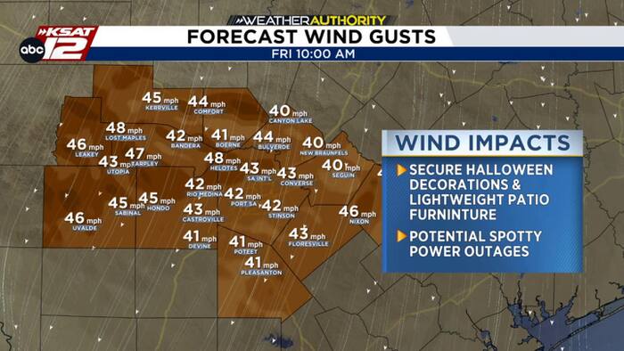 Cold front is on the way, but the wind gusts may be a bit of a hiccup!
KSAT Cold front is on the way, but the wind gusts may be a bit of a hiccup! Popular haunted attractions in San Antonio 🍲 CALDO ALERT 😉 Cold front arrives to San Antonio Friday (10/16) The Rising Cost of Candy…
-
 Front brings showers, very gusty winds by sunrise Friday
KSAT Front brings showers, very gusty winds by sunrise Friday Much cooler air will arrive to South Texas and stick around into the weekend. The 9@9: Social Security payments going up 3.6% in 2027, Waymo rides open to…
-
 Big changes by sunrise Friday
KSAT Big changes by sunrise Friday Showers, very gusty winds, and falling temperatures by early on Friday. Boerne volunteers pack weekend meals for students facing food insecurity What we know about suspected…
-
 Cold front may pummel Texas with large hail. Here's where
A hail storm may hit Texas towns soon as cold front stalls and continues to bring severe storm threats. A stalled cold front may have brought some relief from soaring temperatures in Texas last week, but it continues to…
-
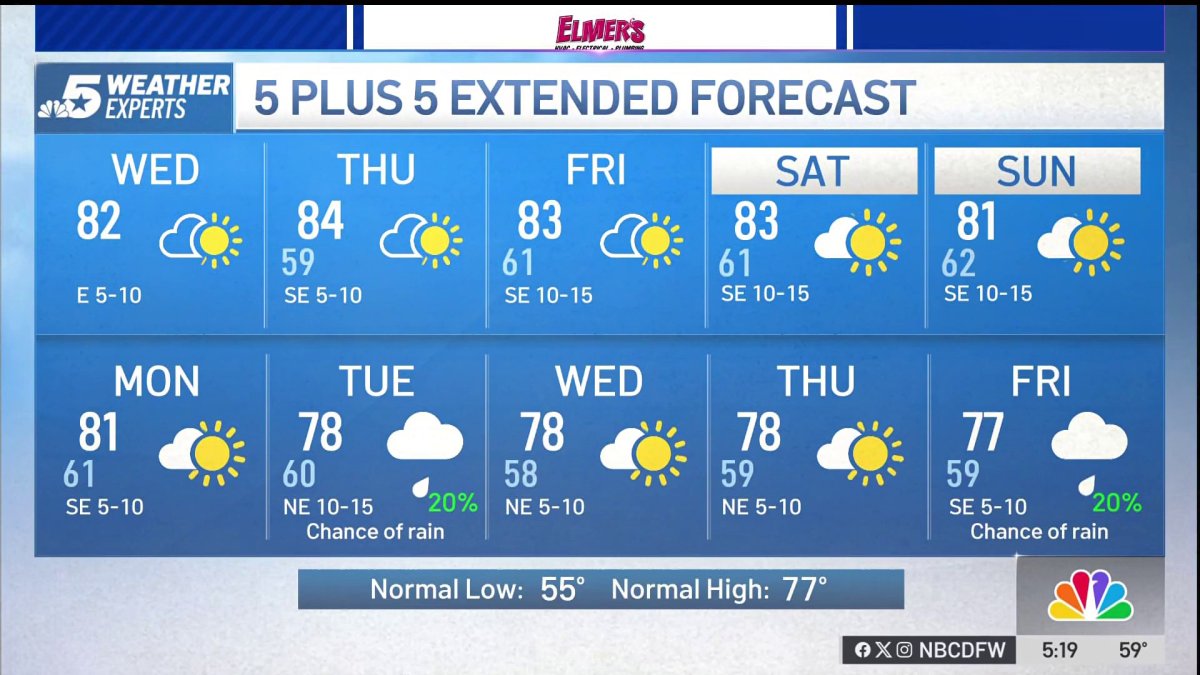 NBC 5 Forecast: A quiet weather pattern continues for North Texas
NBC 5 Dallas-Fort Worth NBC 5 Forecast: A quiet weather pattern continues for North Texas
-
 Storms, flooding possible in parts of Texas. Here's where
The National Weather Service Amarillo says a slight risk for excessive rainfall and flooding is possible on Friday and Saturday, October 23-24, 2026. If you feel like you need a break from all the ups and downs of Texas…
-
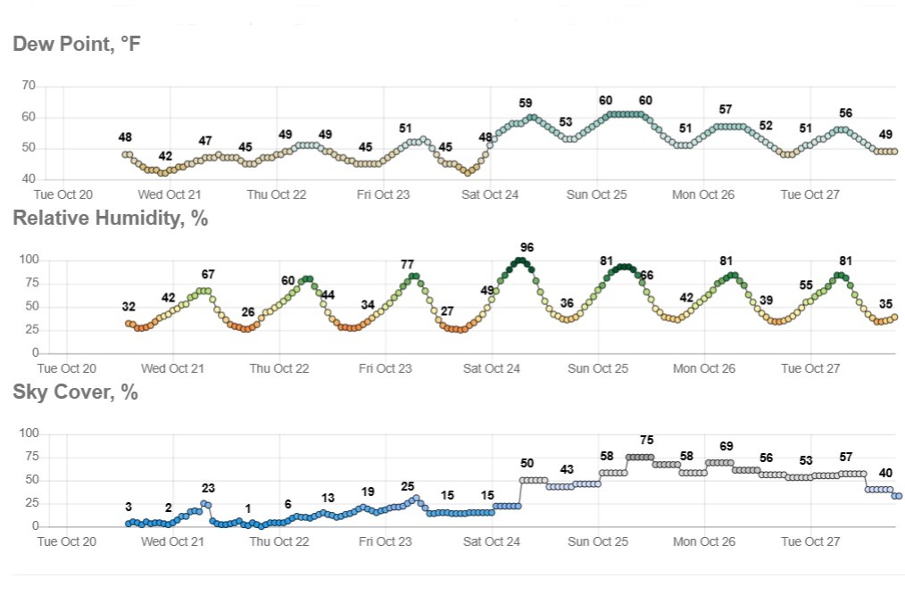 Sunny and dry in Texas, but wild weather across U.S. hits both coasts
Temperatures in Austin will climb to just a few degrees above our mid-October average of 82 degrees. Early-rising Texans might notice temperatures beginning to warm up over the next few mornings. Predawn temps will…
Air quality
Acceptable. Unusually sensitive people should consider limiting prolonged outdoor exertion.
Forecast
- WedModerate
- ThuUnhealthy for Sensitive Groups
- FriModerate
San Antonio, TX reporting area · 1 hr ago. Data from AirNow (EPA and its state, local and tribal partners); preliminary and subject to change.
Sun & moon
Almanac
MonthlyBoerne, records since 1898. Normals 1991–2020. Data from NOAA's Regional Climate Centers (ACIS).
Nearby
- San Antonio 55 km
- New Braunfels 58 km
- Schertz 55 km
- Cibolo 58 km
- Kerrville 47 km
- Converse 55 km
- Canyon Lake 41 km
- Universal City 54 km
- Live Oak 50 km
- Timberwood Park 29 km
- Fredericksburg 46 km
- Selma 50 km
Forecasters' discussion
From the National Weather Service office in EWX, issued 37 min ago
Key Messages
Updated at 1215 PM CDT Wed Oct 21 2026
- Warm and rain-free conditions to persist into the weekend
- Modest Rain chances (15-30%) to return early next week
Short Term
(Tonight through Thursday night) Issued at 1215 PM CDT Wed Oct 21 2026
A mid level ridge axis that has been responsible for our continued dry and warm weather will not move much in the coming days. This ridge will eventually set up a strong Omega block pattern across the CONUS. This will continue to keep our area under mostly sunny to partly sunny skies with highs in the low to mid 80s and lows in the low to mid 50s each day in the short term. Chances of precipitation look slim to non nonexistent with the one exception being over the Rio Grande Plains. A decent amount of moisture may advance far enough northward into our area that may produce also a sprinkle or shower over the Rio Grande. Otherwise expect dry weather to persist areawide.
Long Term
(Friday through next Wednesday) Issued at 1215 PM CDT Wed Oct 21 2026
The omega block pattern remains through the end of the week before eventually showing signs of breaking down as a decent trough tries to dislodge it over the southwestern CONUS. As this happens we should have a few more days of warm and dry weather (highs in the 80s lows in the 50s) before we get into low chances for precip as moisture and humidity return on the back of southeasterly flow. This should allow temperatures to cool slightly as this trough begins to eject northeastward into the panhandles and thus possibly bringing with it a front southward into our area. Long range models are still having quite a difficult time handling this feature and the ensuing pattern change. For now have kept pops low, in the 15-30% range, starting Sunday and continuing into early next week. Continue to stay tuned as details become more refined as we get closer to the weekend.
Aviation
(18Z TAFS) Issued at 1208 PM CDT Wed Oct 21 2026
Winds have been rather light so far this morning, and should remain less than 10 kts at all sites through the period. A slight shift to more east-northeasterly winds is expected at AUS, SAT, and SSF shortly if it hasn't occurred yet. Light winds, and even calm at times are expected shortly after sunset this evening at AUS, SAT, and SSF followed by a switch to more easterly winds by late Thursday morning. Return flow is expected by Friday which may bring low clouds and MVFR ceilings back into the picture just beyond this forecast. Meanwhile, at DRT, MVFR stratus may briefly develop tomorrow morning after sunrise and persist through mid to late morning before lifting to VFR and ESE winds at around 10 kts.
Forecasts, observations and alerts in the United States come from the National Weather Service (NOAA); radar from NOAA's Multi-Radar Multi-Sensor system; satellite imagery from NASA's Global Imagery Browse Services (GIBS) and NOAA's GOES satellites; the map from the U.S. Geological Survey's National Map; air quality from AirNow (EPA and its partners); hurricane information from the National Hurricane Center; climate normals and records from NOAA's Regional Climate Centers (ACIS). Forecasts outside the United States and the UV index: MET Norway (CC BY 4.0); observations outside the U.S.: airport reports via NOAA's Aviation Weather Center. Place names: GeoNames (CC BY 4.0). Data are copied on a schedule and may lag the sources; for warnings that affect your safety, follow your local National Weather Service office and emergency officials. Weather news is drawn from the 4Conservative index and reflects what the press published. Terms of use.