Install
Bryan, TX 77806 Weather
Current conditions
Forecast for this hour (no station report in the last two hours)
Forecast
10-day-
Tonight
Clear, with a low around 57. Northeast wind 0 to 5 mph.
-
Thursday
Sunny, with a high near 85. Northeast wind 0 to 5 mph.
-
Thursday Night
Mostly clear, with a low around 57. East wind 0 to 5 mph.
National Weather Service forecast updated 5 hrs ago.
Hourly
Hourly forecast- Now62°
- 2 AM62°
- 3 AM61°
- 4 AM59°
- 5 AM58°
- 6 AM58°
- 7 AM57°
- 8 AM58°
- 9 AM62°
- 10 AM70°
- 11 AM76°
- 12 PM80°
- 1 PM83°
- 2 PM84°
- 3 PM84°
- 4 PM85°
- 5 PM84°
- 6 PM82°
- 7 PM78°
- 8 PM72°
- 9 PM70°
- 10 PM68°
- 11 PM67°
- Fri12 AM65°
10-day forecast
Details- TonightOct 21Clear57°
- TodayOct 22Sunny57°85°
- FriOct 23Sunny55°85°
- SatOct 24Sunny59°85°
- SunOct 25Partly Sunny56°81°
- MonOct 26Mostly Sunny58°82°
- TueOct 27Partly Sunny13%57°80°
- WedOct 28Mostly Sunny81°
- ThuOct 29Cloudy63°85°
- FriOct 30Partly cloudy64°84°
Days after the National Weather Service's seven are MET Norway's outlook, a computer model with no forecaster's review.
Radar
Full mapWeather news near Bryan
More weather news-
 Bryan Norcross: Continuing long-duration coastal flood event from strengthening nor'easter
☔ 🌊 FALL NOR'EASTER: FOX Weather Storm Specialist Mike Seidel reports from Kill Devil Hills, North Carolina, where the conditions from the upcoming nor'easter are slowly developing as winds increase amid high tide along…
- Bryan Norcross: Nor'easter to impact the East Coast for much of the week
🌧️ NOR'EASTER THREAT: Another nor'easter is set to smash the East Coast this week, with some of the worst impacts headed for the Outer Banks in North Carolina as intense wind gusts and potential coastal flooding lash at…
-
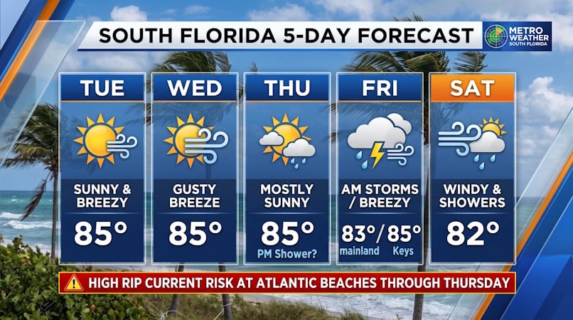 South Florida Forecast: Breezy Sun, Mid-80s Warmth, and Dangerous Atlantic Rip Currents
Donna Thomas has studied hurricanes for two decades. She holds a PhD in history when her experience with Hurricane Andrew ultimately led her to earn a degree in broadcast meteorology from Mississippi State University…
-
 We still expect a “wet” fall, but the short term is warm and dry
BRYAN, Texas (KBTX) - El Niño is here, but you wouldn’t know it if you hadn’t been battered with headlines all summer long. All that being said, long range models are still insistent we’re getting wetter and cooler…
- Bryan Norcross: Impactful nor'easter possible next week from North Carolina to New Jersey
A strong cold front is powering off the East Coast today. The coldest air of the year will blow in behind it. The front will push down the Florida Peninsula, but only slowly ease across South Florida, where heavy rain…
-
 New Jersey nor’easter threat grows as N.C. orders evacuations tonight
The freeze is only the first part of the forecast. Forecasters are also watching a slow moving nor’easter that could bring days of coastal flooding to the Jersey Shore next week. The warning covers Hunterdon, Morris…
-
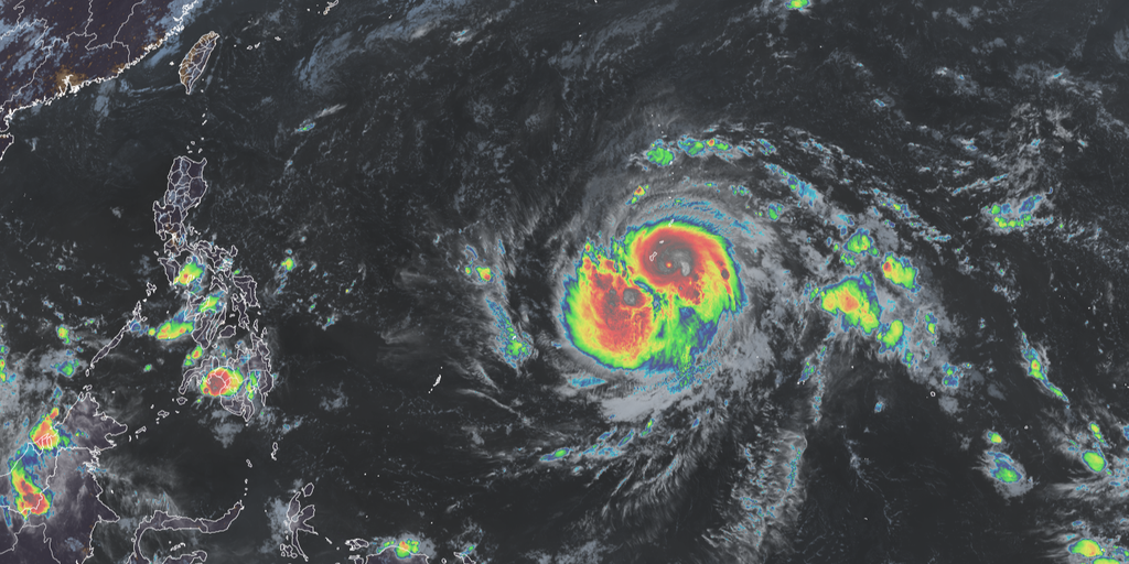 Violent Typhoon Champi slamming Guam after rapidly intensifying as El Niño enhances Pacific
Champi has rapidly intensified into a Violent Typhoon, with sustained winds of 140 mph, and could make a rare landfall on Guam. Edwin Montvila, Meteorologist with the National Weather Service office in Guam, joined FOX…
-
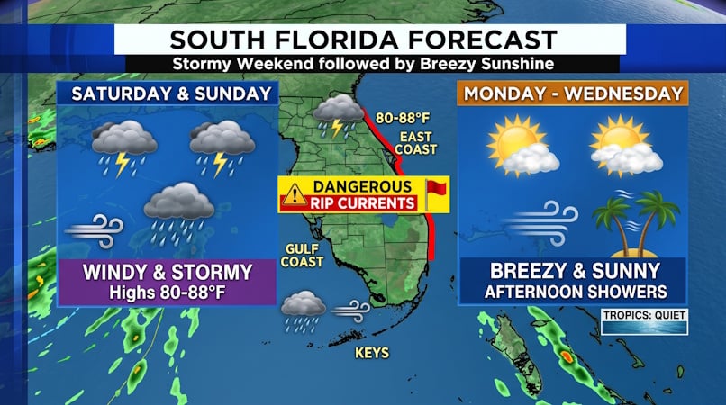 South Florida Weather: Weekend Storms and Gusty Winds Give Way to Brisk, Sunny Days
Donna Thomas has studied hurricanes for two decades. She holds a PhD in history when her experience with Hurricane Andrew ultimately led her to earn a degree in broadcast meteorology from Mississippi State University…
-
 Here’s when Boston is set to see its last 6 p.m. sunset of 2026
Hello darkness my old friend. Just like that, the evening sun is slipping away, with Boston set to see its last 6 p.m. sunset for the rest of the year on Friday. Tonight, the sun is expected to set at exactly 6 p.m…
-
 Trudy strengthens to a hurricane as system nears Mexico’s coast with major storm expected
KBTX News 3 Trudy was located about 300 miles (480 kilometers) southwest of Acapulco, Mexico, with maximum sustained winds of 75 mph (120 kph), according to the U.S. National Hurricane Center in Miami. The hurricane was…
Air quality
Air quality is satisfactory, and air pollution poses little or no risk.
Forecast
- ThuModerate
- FriModerate
- SatModerate
Bryan-College Station, TX reporting area · 2 hrs ago. Data from AirNow (EPA and its state, local and tribal partners); preliminary and subject to change.
Sun & moon
Almanac
MonthlyCollege Station Area, records since 1888. Normals 1991–2020. Data from NOAA's Regional Climate Centers (ACIS).
Nearby
- College Station 6 km
- Brenham 56 km
- Navasota 42 km
- Madisonville 53 km
- Hearne 31 km
- Caldwell 35 km
Forecasters' discussion
From the National Weather Service office in HGX, issued 1 hr ago
Key Messages
- Warm and dry conditions expected through early next week.
- Elevated fire weather conditions are possible during the second half of the week.
- Potential change to a wetter pattern by the end of the month.
Discussion
Issued at 1132 PM CDT Wed Oct 21 2026
The tranquil weather pattern over the area continues as a ridge axis situated over the High Plains remains firmly planted in place. The "name of the game" tomorrow remains persistence as temperatures reach in the low-mid 80's for highs and back down into the high 50's to low 60's for overnight lows tomorrow. The outside feel is anticipated to become less "sticky" as surface moisture decreases a little more and dewpoints dip into the 50's. Situation awareness should continue on Thursday and Friday for an increased fire risk due to the decreasing RH values to around 25-30%. The winds remaining continually light can keep us out of Red Flag territory.
As we end the work week and move into the upcoming weekend, the combination of the dry air and continual ridging will result in little to no rain chances. Daytime highs will also remain in the low to mid 80's inland and the upper 70s to low 80s along the coasts. Overnight lows remain seasonal, between the mid 50's and low 60's inland while slightly warmer along the coast tipping into the upper 80s to low 70's. In addition, a weak upper-level jet max entering the region from the Rio Grande Valley will slightly increase surface winds on Saturday and Sunday. Even with the increasing upper-level dynamics, the minimal PWAT values keep chances of precip low.
The good news is that we might start seeing increasing PWATs by early next week. This is the start of showing early signals of a potential pattern change, which may bring rain chances into the area.
CMW/Cotto
Aviation
(06Z TAF Issuance) Issued at 1132 PM CDT Wed Oct 21 2026
VFR conditions along with light E winds expected throughout the TAF period. Winds will likely be VRB during the overnight to early morning hours.
Cotto
Marine
Issued at 1132 PM CDT Wed Oct 21 2026
Light to occasionally moderate easterly winds and seas of 2 to 3 feet will persist through Friday. Winds will strengthen to 15-20 knots during the weekend and seas will build to 3 to 5 feet, possibly up to 6 feet at times over the offshore waters. Caution Flags or Small Craft Advisories may be needed Saturday into Monday. The moderate easterly flow will continue for much of the upcoming week, additional Caution Flags may be needed at times.
Mostly dry weather conditions are expected through the weekend. The return of showers and thunderstorms may occur early next week as moisture from the Gulf returns to the local area.
Cotto
Forecasts, observations and alerts in the United States come from the National Weather Service (NOAA); radar from NOAA's Multi-Radar Multi-Sensor system; satellite imagery from NASA's Global Imagery Browse Services (GIBS) and NOAA's GOES satellites; the map from the U.S. Geological Survey's National Map; air quality from AirNow (EPA and its partners); hurricane information from the National Hurricane Center; climate normals and records from NOAA's Regional Climate Centers (ACIS). Forecasts outside the United States and the UV index: MET Norway (CC BY 4.0); observations outside the U.S.: airport reports via NOAA's Aviation Weather Center. Place names: GeoNames (CC BY 4.0). Data are copied on a schedule and may lag the sources; for warnings that affect your safety, follow your local National Weather Service office and emergency officials. Weather news is drawn from the 4Conservative index and reflects what the press published. Terms of use.