Install
Stafford, TX 77477 Weather
Current conditions
Observed at Houston, Sugar Land Municipal / Hull Field Airport · 23 min ago
Forecast
10-day-
Friday
Sunny, with a high near 87. Northeast wind 0 to 5 mph.
-
Friday Night
Mostly clear, with a low around 63. East wind 0 to 5 mph.
-
Saturday
Sunny, with a high near 87. East wind 5 to 10 mph, with gusts as high as 25 mph.
National Weather Service forecast updated 20 hrs ago.
Hourly
Hourly forecast- Now60°
- 7 AM60°
- 8 AM62°
- 9 AM65°
- 10 AM72°
- 11 AM77°
- 12 PM81°
- 1 PM84°
- 2 PM85°
- 3 PM86°
- 4 PM87°
- 5 PM85°
- 6 PM83°
- 7 PM81°
- 8 PM75°
- 9 PM73°
- 10 PM70°
- 11 PM68°
- Sat12 AM66°
- 1 AM65°
- 2 AM64°
- 3 AM64°
- 4 AM64°
- 5 AM63°
10-day forecast
Details- ThuOct 22Sunny60°86°
- TodayOct 23Sunny63°87°
- SatOct 24Sunny66°87°
- SunOct 25Mostly Sunny65°82°
- MonOct 26Partly Sunny65°83°
- TueOct 27Slight Chance Rain Showers21%63°81°
- WedOct 28Mostly Sunny14%62°82°
- ThuOct 29Light showers0.04 in68°83°
- FriOct 30Cloudy66°82°
- SatOct 31Heavy rain0.43 in65°74°
Days after the National Weather Service's seven are MET Norway's outlook, a computer model with no forecaster's review.
Radar
Full mapWeather news near Stafford
More weather news-
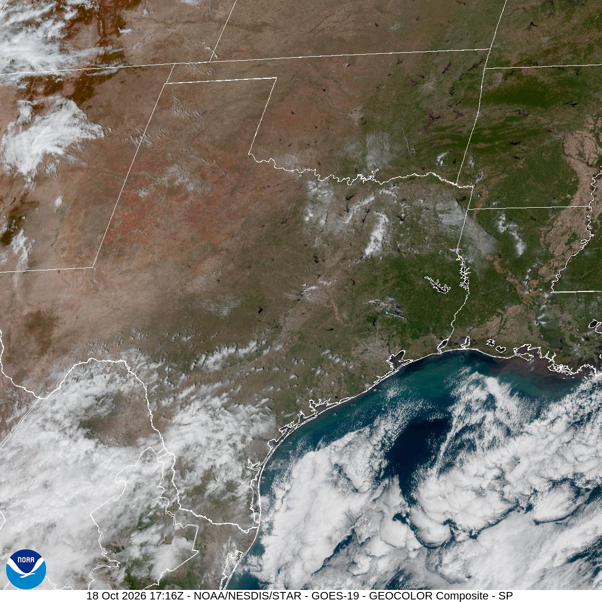 Houston pollen forecast highlights ragweed, sagebrush and elm
Houston’s brief taste of fall will give way to sunny skies and a gradual warming trend this week, with dry weather potentially keeping allergy symptoms in the picture. High pressure settling to the northeast will steer…
-
 Texas Warms Back Up, West Texas Rain Chances Return by Friday | Texas Weather Roundup
Crashy the Cold Front is long gone, and Texas is warming back up. South winds and a little more humidity are back this week. Most of the state stays dry, but rain chances creep back into West Texas by Thursday and…
-
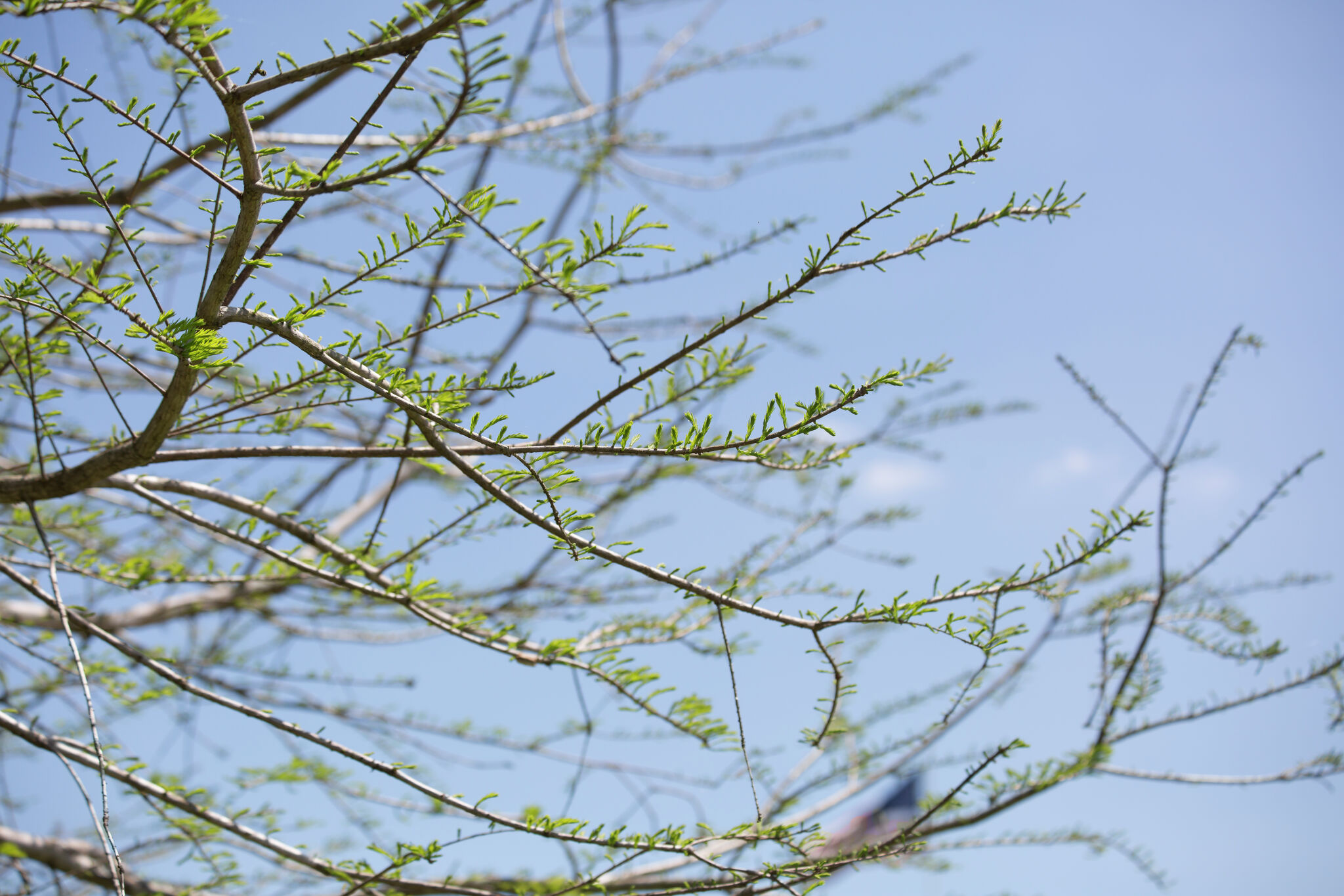 Texas braces for warming trend after shocking cold front
Will fall conditons end anytime soon in Texas? The National Weather Service says a warming trend is in store for the state. How long will cooler, fall-like temperatures hang on across Texas? Forecasters with the…
-
 Is your low tire pressure light on? Here's why the chilly Texas weather is to blame.
After a cold font blew through the region Friday evening, Southeast Texas is now experiencing its coldest temperatures since early April. Lows fell into the 40s and 50s early Saturday morning, and a similarly chilly…
-
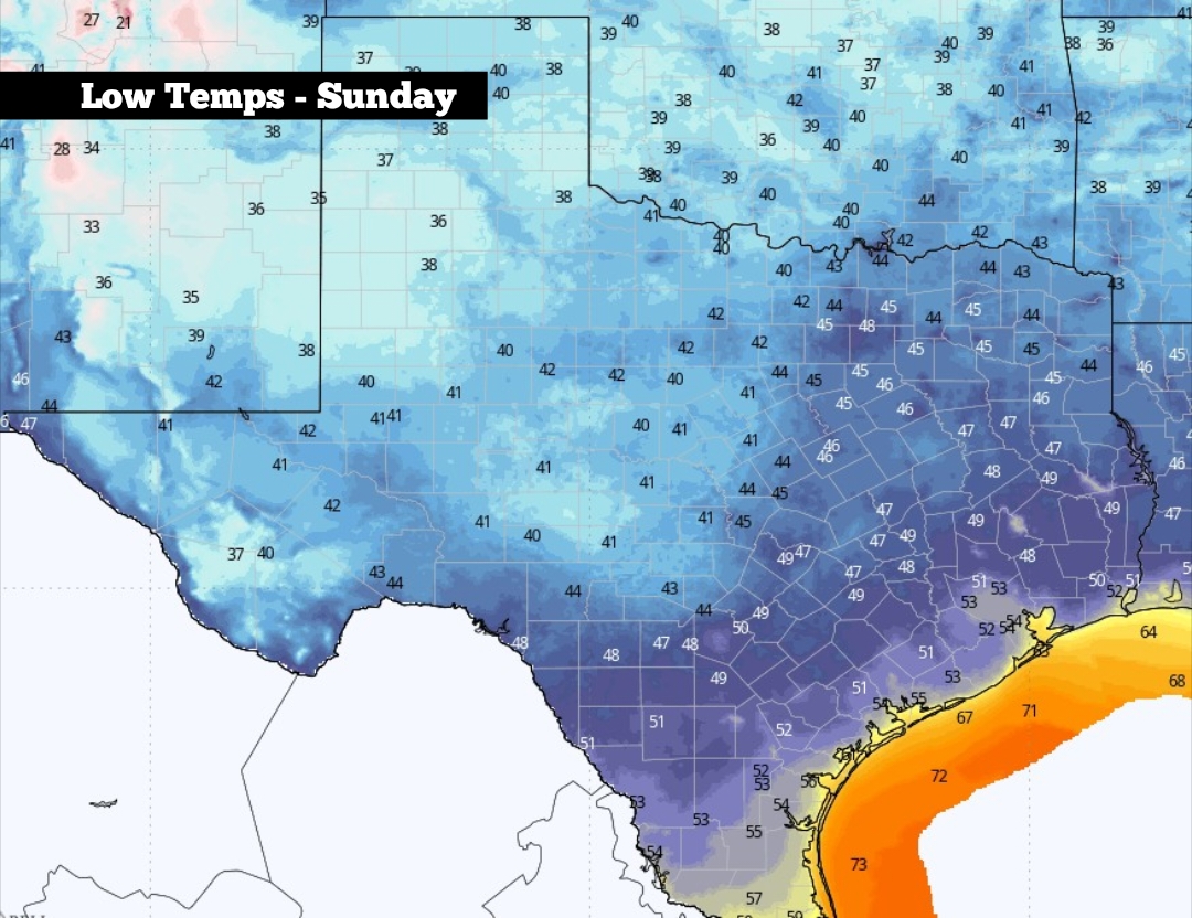 Low tire pressure? Here’s why the colder Texas weather is to blame.
Shown are the expected low temperatures across Texas on Sunday morning After a cold font blew through the region Friday evening, Southeast Texas is now experiencing its coldest temperatures since early April. Lows fell…
-
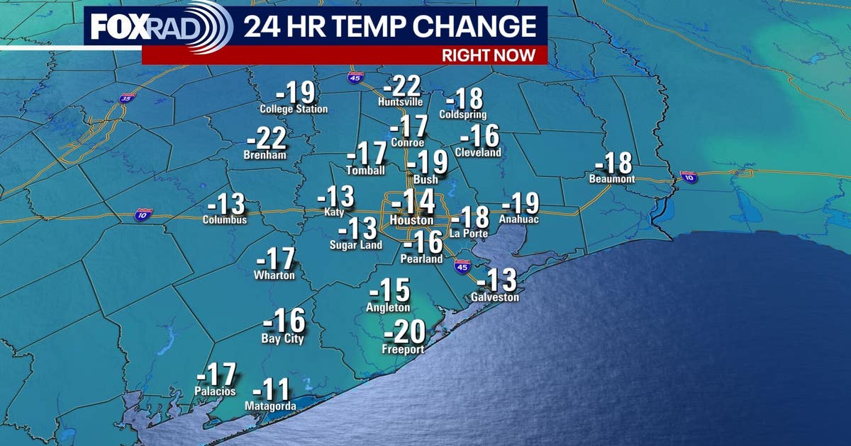 Houston weather: Fall cold front brings cooler weather
FOX 26 meteorologist Angie Rodriguez has your morning forecast for Oct. 17. A cold front moved across southeast Texas Friday morning, ushering in cooler, refreshing weather in Houston over the weekend. Temperatures will…
-
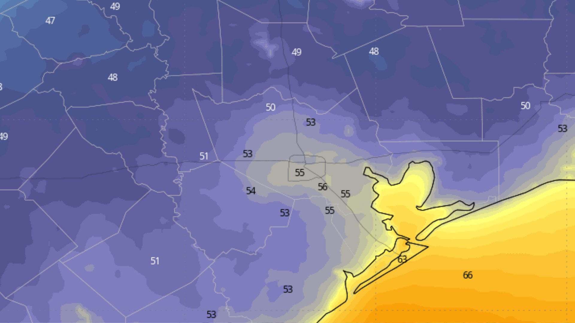 Could Houston temperatures drop into the 40s this weekend?
Houston temperatures are expected to drop into the 50s by 7 a.m. Sunday morning. Some neighborhoods in Southeast Texas could even see their first morning temperature in the 40s since early May. Houston’s first notably…
-
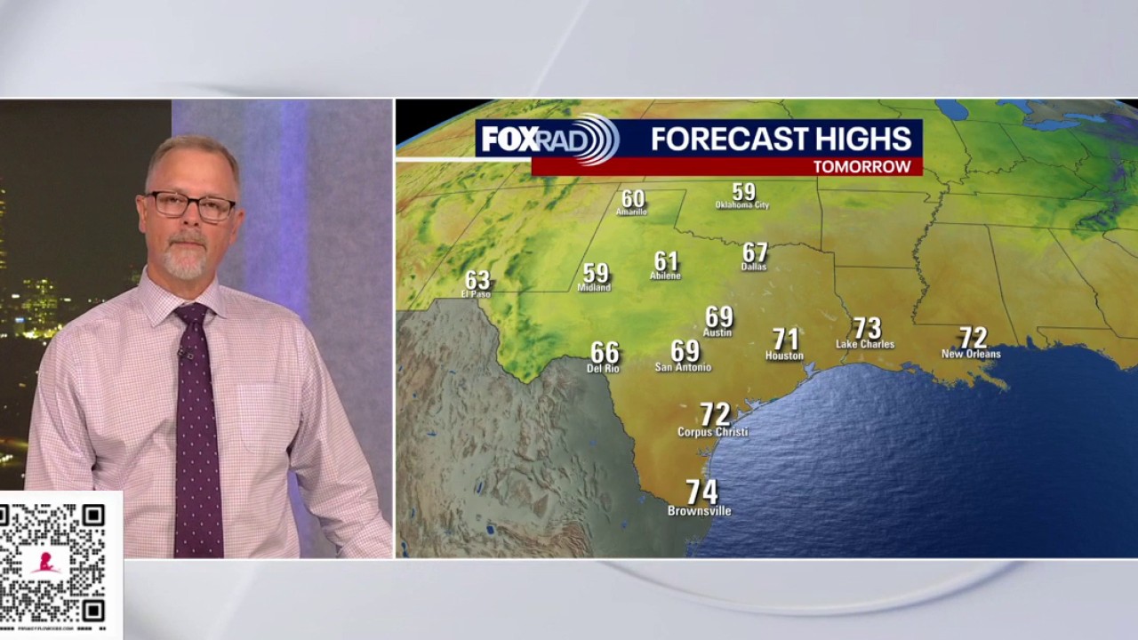 Houston weather: Cold front arrives, great weekend ahead
FOX 26 Houston A cold front moved across southeast Texas early this morning, ushering in cooler, refreshing weather in Houston! We will likely see highs in the 70s and wake up temperatures in the 40s & 50s this weekend…
-
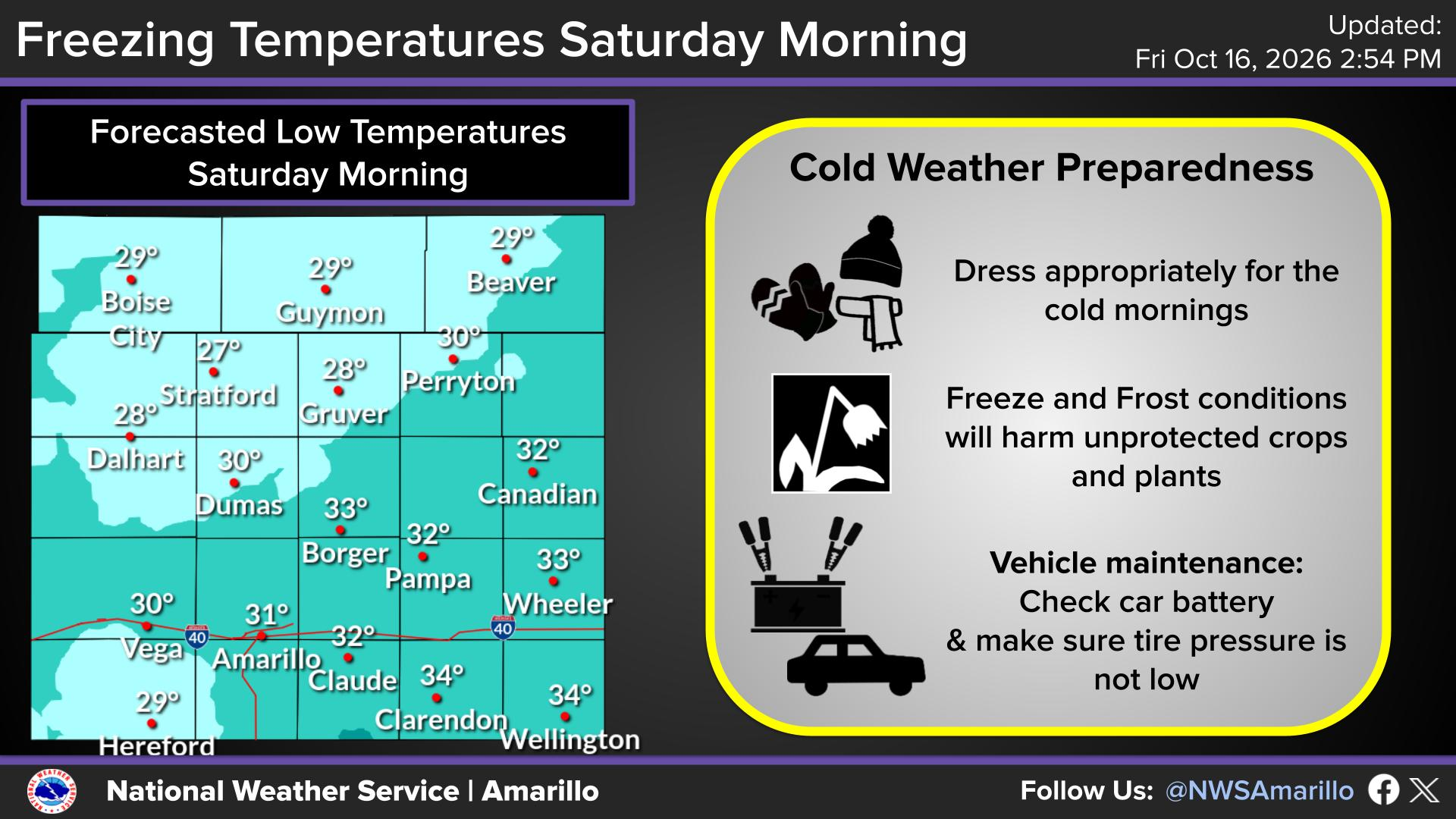 Coldest weather of season prompts freeze warnings in Texas
Lows could dip into the 20s in portions of the Texas Panhandle on Oct. 17, 2026, according to the National Weather Service. A lot is made in Texas when a cold front knocks Texas down from 90 degrees to 85. Your dad (or…
-
 Cold front brings fall temperatures, wind advisory to Houston region
Daisy Espinoza / Houston Public MediaAccording to the National Weather Service (NWS), temperatures will drop over the weekend across the Greater Houston area, with lows in the 50s and highs in the 70s . "It'll actually…
Air quality
Acceptable. Unusually sensitive people should consider limiting prolonged outdoor exertion.
Forecast
- FriUnhealthy for Sensitive Groups Action day
- SatModerate
- SunModerate
Houston-Galveston-Brazoria, TX reporting area · 1 hr ago. Data from AirNow (EPA and its state, local and tribal partners); preliminary and subject to change.
Sun & moon
Almanac
MonthlyHouston William P Hobby Ap, records since 1930. Normals 1991–2020. Data from NOAA's Regional Climate Centers (ACIS).
Nearby
- Houston 25 km
- Cypress 40 km
- Pasadena 35 km
- Pearland 28 km
- League City 47 km
- The Woodlands 60 km
- Sugar Land 7 km
- Baytown 58 km
- Missouri City 3 km
- Spring 53 km
- Friendswood 37 km
- Channelview 47 km
Forecasters' discussion
From the National Weather Service office in HGX, issued 7 hrs ago
Key Messages
- Warm and dry conditions expected through early next week.
- Elevated fire weather conditions are possible over the next couple of days.
- Potential change to a wetter pattern by the end of the month.
Discussion
Issued at 1127 PM CDT Thu Oct 22 2026
The firmly planted ridge remains the main driving force of our current serene weather pattern. Tomorrow's temperatures, again, reach the low to mid 80s before dipping into the low 50s to low 60s for overnight lows inland. The "less sticky" feeling outside is anticipated to continue into the weekend. Surface moisture remains off shore and dewpoints hover in the upper 40s to low 60s. Situational awareness for sustained fire risk does continue through Friday as Relative Humidity values sit around 25-30% during the day. Light winds, however, will keep us out of Red Flag criteria.
Moving into the weekend, the ridge and continual dry air keeps little to no rain chances over Southeast Texas. As a result, daytime highs remain in the low to mid 80s inland and the upper 70s to low 80s along the coasts. Overnight lows remain seasonal, between the low 50s and low 60s inland while slightly warmer along the coast between the upper 60s and low 70s. A weak low-level jet max and a slightly tighter pressure gradient extend north from the Rio Grande Valley, that could bring slightly increased surface winds on Saturday and Sunday. But the minimal PWAT values do keep precip chances low, despite the increased upper-level dynamics.
Rain chances look to return early next week as an upper level trough moves through the Southern Plains and warm moist air from the Gulf pushes into the region. Look for isolated to scattered showers and possible isolated thunderstorms mainly for areas west of I-45.
CMW/Cotto
Aviation
(06Z TAF Issuance) Issued at 1127 PM CDT Thu Oct 22 2026
VFR conditions will persist throughout the TAF period. Winds will be light and VRB through Fri morning, becoming ESE-SE at 5-10 KTS in the afternoon.
Cotto
Marine
Issued at 1127 PM CDT Thu Oct 22 2026
Light easterly winds and seas of 1 to 3 feet through Friday. Winds are expected to increase to 15-20 knots by late Saturday and continue into Monday. This will lead to seas rising to 4-6 feet by Sunday, possibly reaching 7 feet at times over the offshore waters. Caution Flags and/or Small Craft Advisories may be required. The moderate easterly flow will continue for much of the upcoming week, additional Caution Flags may be needed at times. Winds relax and seas subside Tuesday and Wednesday.
With respect to rain chances, expect tranquil weather conditions through the weekend. The return of showers and thunderstorms may occur early next week as an upper level trough moves across the Southern Plains and moisture from the Gulf returns to the local area.
Cotto
Forecasts, observations and alerts in the United States come from the National Weather Service (NOAA); radar from NOAA's Multi-Radar Multi-Sensor system; satellite imagery from NASA's Global Imagery Browse Services (GIBS) and NOAA's GOES satellites; the map from the U.S. Geological Survey's National Map; air quality from AirNow (EPA and its partners); hurricane information from the National Hurricane Center; climate normals and records from NOAA's Regional Climate Centers (ACIS). Forecasts outside the United States and the UV index: MET Norway (CC BY 4.0); observations outside the U.S.: airport reports via NOAA's Aviation Weather Center. Place names: GeoNames (CC BY 4.0). Data are copied on a schedule and may lag the sources; for warnings that affect your safety, follow your local National Weather Service office and emergency officials. Weather news is drawn from the 4Conservative index and reflects what the press published. Terms of use.