Install
Temple, TX 76502 Weather
Current conditions
Forecast for this hour (no station report in the last two hours)
Forecast
10-day-
Friday Night
Mostly clear, with a low around 58. South southeast wind 0 to 5 mph.
-
Saturday
Sunny. High near 87, with temperatures falling to around 85 in the afternoon. South southeast wind 0 to 10 mph, with gusts as high as 20 mph.
-
Saturday Night
Partly cloudy, with a low around 60. Southeast wind 0 to 10 mph, with gusts as high as 20 mph.
National Weather Service forecast updated 1 day ago.
Hourly
Hourly forecast- Now60°
- 5 AM59°
- 6 AM58°
- 7 AM58°
- 8 AM59°
- 9 AM64°
- 10 AM69°
- 11 AM73°
- 12 PM78°
- 1 PM82°
- 2 PM84°
- 3 PM85°
- 4 PM87°
- 5 PM85°
- 6 PM83°
- 7 PM81°
- 8 PM78°
- 9 PM76°
- 10 PM73°
- 11 PM71°
- Sun12 AM70°
- 1 AM68°
- 2 AM66°
- 3 AM64°
10-day forecast
Details- TonightOct 22Mostly Clear58°
- FriOct 23Sunny58°86°
- TodayOct 24Sunny60°87°
- SunOct 25Partly Sunny56°83°
- MonOct 26Mostly Sunny15%61°82°
- TueOct 27Slight Chance Rain Showers22%57°79°
- WedOct 28Sunny58°81°
- ThuOct 29Mostly Sunny10%81°
- FriOct 30Heavy rain1.22 in66°75°
- SatOct 31Heavy rain1.05 in63°77°
Days after the National Weather Service's seven are MET Norway's outlook, a computer model with no forecaster's review.
Radar
Full mapWeather news near Temple
More weather news-
 Winter fog disrupts rail travel; cancellations impact Golden Temple pilgrims & Kolkata passengers
The Times of India Jaipur: North Western Railway has announced significant disruptions to rail services due to winter fog, affecting passengers travelling to Golden Temple in Amritsar and those bound for Kolkata.From…
-
 Is cyclone by the end of October a rumour? Know what weather agencies predict
Bhubaneswar: Is a cyclone approaching by the end of Odisha, or is it merely a rumor? What does the India Meteorological Department (IMD) say? What the signals of Global Forecast System (GFS) and European Centre for…
-
 IMD weather forecast October 19: Heavy rain likely in South India, Delhi to see clear skies
IMD weather forecast: Rain alert for South India The IMD has forecast isolated heavy rainfall over Kerala and Mahe from October 19 to 24, and South Interior Karnataka from October 19 to 24. Tamil Nadu, Puducherry and…
- Torrential downpours forecast nationwide
Thai Public Broadcasting Service 145 Vibhavadi Rangsit Rd, Bangkok 10900 The Meteorological Department has issued its first severe weather warning of the season, cautioning residents across large swathes of Thailand to…
-
 Sunny skies and steady warming trend ahead for Killeen area
A week of uninterrupted sunshine and calm conditions will bring a steady warmup to Central Texas, with afternoon temperatures climbing from the low 70s into the upper 80s by late week, according to the National Weather…
- Bihar Weather Today, October 17: Winter Chill Sets In; Check Weather Forecast for Durga Puja
Bihar, October 17, 2026: Winter is beginning to make its presence felt in Bihar, with mornings and evenings bringing a mild chill while daytime temperatures remain warm. The weather is expected to remain generally clear…
-
 Community leaders say foiled Illinois mass shooting was result of surge in anti-Hindu hate online
Mostly cloudy with scattered thunderstorms (some with damaging wind gust potential) through early evening, then brisk and drier as it turns much cooler the rest of the night. . Bulletin: SEVERE THUNDERSTORM WATCH 686…
-
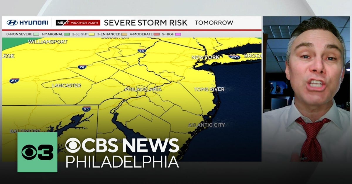 Timing out Friday's severe weather risk in the Philadelphia region
The Philadelphia region has a severe weather risk for Friday — and some of the threats might have a direct impact on you. CBS News Philadelphia Chief Meteorologist Bill Kelly has everything you need to know to keep you…
- Delhi Breathes Easier After Rain, AQI Improves To 149; Temperature Takes A Dip
Rain Brings Relief To Delhi: AQI Improves, Day Temperature Falls Nearly 5 Degrees New Delhi: Delhi’s air quality improved after rainfall on Thursday, with the Air Quality Index (AQI) falling to 149 in the moderate…
-
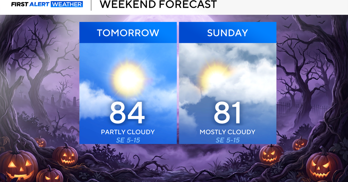 Clouds build in over the weekend as temperatures stay above average in the 80s across North Texas
October 23, 2026 / 8:00 AM CDT / CBS Texas North Texans are waking up to temperatures mainly in the 50s and 60s on Friday morning, with some clouds across portions of the area. In the afternoon and into the weekend…
Air quality
Acceptable. Unusually sensitive people should consider limiting prolonged outdoor exertion.
Forecast
- SatModerate
- SunModerate
- MonModerate
Waco-Killeen, TX reporting area · 1 hr ago. Data from AirNow (EPA and its state, local and tribal partners); preliminary and subject to change.
Sun & moon
Almanac
MonthlyFort Hood, records since 1961. Normals 1991–2020. Data from NOAA's Regional Climate Centers (ACIS).
Nearby
- Killeen 33 km
- Waco 58 km
- Georgetown 56 km
- Copperas Cove 49 km
- Fort Cavazos 37 km
- Harker Heights 26 km
- Belton 7 km
- Taylor 56 km
- Gatesville 53 km
- Hewitt 47 km
- Robinson 51 km
- Woodway 51 km
Forecasters' discussion
From the National Weather Service office in FWD, issued 3 hrs ago
Key Messages
- Quiet weather and mostly dry conditions will continue into early next week.
- A change in the weather pattern is expected by late next week, bringing slightly cooler temperatures and at least low rain chances.
Short Term
(Tonight through Sunday) Issued at 1244 AM CDT Sat Oct 24 2026
Unseasonably warm and rain-free weather will prevail through the weekend as anomalously strong heights remain anchored overhead. The low-level moisture axis will remain well west of the CWA, influenced by deep Four Corners troughing that has brought numerous days of rainfall to portions of AZ/NM. A cirrus plume associated with this feature will make a steady eastward expansion later this weekend, resulting in cloudier skies which may be sufficient to shave a few degrees off of temperatures on Sunday. Highs will still remain about 5-10 degrees above normal through the short term period, mainly in the 80s. Light southeast winds and modest humidity will result in a pleasant weekend of weather overall for outdoor events.
Long Term
(Sunday night through next Friday) Issued at 1244 AM CDT Sat Oct 24 2026
By Monday, the strong upper ridge axis over the Central and Southern Plains will gradually be eroded by a series of ejecting shortwaves rippling through deep western CONUS troughing. This will allow for greater moisture content to return to the area during the proceeding couple of days, while shortwave ascent supports disorganized scattered convection across portions of West Texas and the Big Country. Some of this activity may be able to encroach on our western zones on Tuesday where low PoPs will be advertised. Otherwise, the breakdown of the upper ridge along with increased cloud cover should keep temperatures slightly closer to normal, mostly in the upper 70s and lower 80s.
There is still a large amount of uncertainty regarding the late week forecast and the expected pattern shift, and this will continue to have significant implications on the extended forecast from Thursday into next weekend. Overall, the synoptic pattern should become quite a bit more active and progressive, while a warm advection regime is likely to prevail locally through the end of the workweek. This will favor continued above normal temperatures through the end of the month before rain chances and a frontal passage can occur likely in the Day 7-9 time frame.
Aviation
(06Z TAFS) Issued at 1244 AM CDT Sat Oct 24 2026
VFR conditions will prevail through Saturday with passing cirrus at FL250. Winds will remain southeasterly at 5-10 kt.
Forecasts, observations and alerts in the United States come from the National Weather Service (NOAA); radar from NOAA's Multi-Radar Multi-Sensor system; satellite imagery from NASA's Global Imagery Browse Services (GIBS) and NOAA's GOES satellites; the map from the U.S. Geological Survey's National Map; air quality from AirNow (EPA and its partners); hurricane information from the National Hurricane Center; climate normals and records from NOAA's Regional Climate Centers (ACIS). Forecasts outside the United States and the UV index: MET Norway (CC BY 4.0); observations outside the U.S.: airport reports via NOAA's Aviation Weather Center. Place names: GeoNames (CC BY 4.0). Data are copied on a schedule and may lag the sources; for warnings that affect your safety, follow your local National Weather Service office and emergency officials. Weather news is drawn from the 4Conservative index and reflects what the press published. Terms of use.