Install
Denton, TX 76209 Weather
Current conditions
Forecast for this hour (no station report in the last two hours)
Forecast
10-day-
Tonight
Mostly clear, with a low around 59. Southeast wind 0 to 5 mph.
-
Friday
Mostly sunny. High near 84, with temperatures falling to around 82 in the afternoon. Southeast wind 5 to 10 mph.
-
Friday Night
Partly cloudy. Low around 59, with temperatures rising to around 61 overnight. Southeast wind around 5 mph.
National Weather Service forecast updated 7 hrs ago.
Hourly
Hourly forecast- Now64°
- 2 AM64°
- 3 AM62°
- 4 AM62°
- 5 AM60°
- 6 AM60°
- 7 AM59°
- 8 AM59°
- 9 AM63°
- 10 AM69°
- 11 AM73°
- 12 PM77°
- 1 PM81°
- 2 PM82°
- 3 PM82°
- 4 PM84°
- 5 PM82°
- 6 PM81°
- 7 PM78°
- 8 PM74°
- 9 PM71°
- 10 PM70°
- 11 PM68°
- Sat12 AM66°
10-day forecast
Details- TonightOct 22Mostly Clear59°
- TodayOct 23Mostly Sunny59°84°
- SatOct 24Mostly Sunny62°83°
- SunOct 25Partly Sunny58°81°
- MonOct 26Partly Sunny10%60°79°
- TueOct 27Slight Chance Rain Showers20%57°76°
- WedOct 28Mostly Sunny58°77°
- ThuOct 29Mostly Sunny79°
- FriOct 30Heavy rain1.41 in64°73°
- SatOct 31Heavy rain0.53 in63°66°
Days after the National Weather Service's seven are MET Norway's outlook, a computer model with no forecaster's review.
Radar
Full mapWeather news near Denton
More weather news- Dallas Forecast: Sunny Days Warm Into the 80s as Regional Drought Persists
Dallas starts the week with a forecast for sunny, dry weather and a high near 77 degrees on Monday, Oct. 19. The National Weather Service forecast calls for a low around 55 Monday night, then highs near 81 Tuesday, 84…
-
 Local Future Tracker
crossroadstoday.com 7 Day Extended Forecast Plan My Day Victoria Monday Warming trend expected with rising temperatures and humidity After a sunny, dry and cool weekend, a warming and humidifying trend will begin. Man…
-
 Plan My Day Victoria Monday
crossroadstoday.com 7 Day Extended Forecast Plan My Day Victoria Monday Warming trend expected with rising temperatures and humidity After a sunny, dry and cool weekend, a warming and humidifying trend will begin. Man…
-
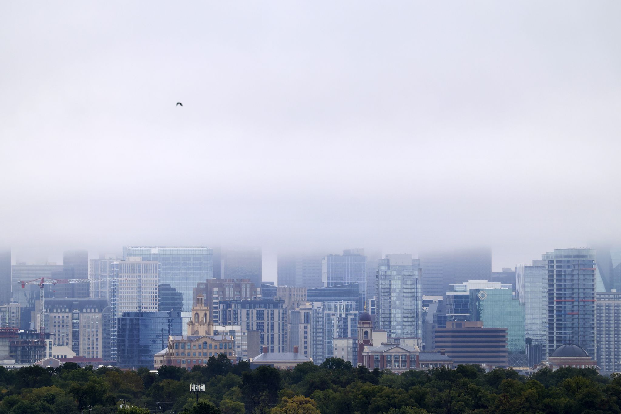 NOAA’s winter 2026-27 outlook: What it means for Dallas-Fort Worth
Dallas-Fort Worth has equal chances of seeing above- or below-normal temperatures through February, according to the Climate Prediction Center. Dallas-Fort Worth is likely in for a rainy, potentially chilly winter this…
- Texas Winter Outlook 2026-27: Dallas, Houston Face Wetter Winter
Dallas, TX – Texas residents could experience a wetter start to the 2026-27 winter season, with new federal outlooks highlighting increased precipitation chances across much of the state, including Dallas, Houston…
-
 Denton County wind advisory Friday forecasts gusts up to 45 mph and cooler temps
A downed tree on the Denton Courthouse on the Square lawn, blown over after strong winds in 2023. The National Weather Service issued a wind advisory for Denton County on Friday, when strong gusts will usher in cooler…
-
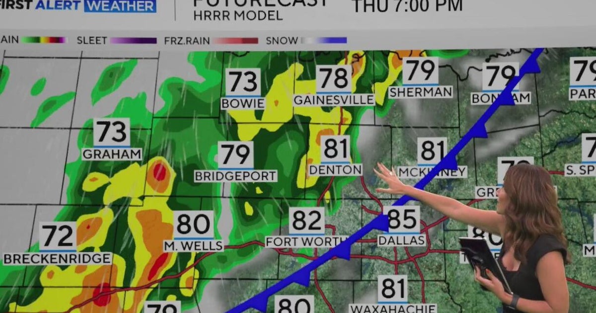 Brief cold front heads for North Texas
CBS News Brief cold front heads for North Texas Paxton launches "Come and Take It" bus tour When will North Texas get that big cooldown? Country music superstar Miranda Lambert brings "Velvet Rodeo" to National Cowgirl…
-
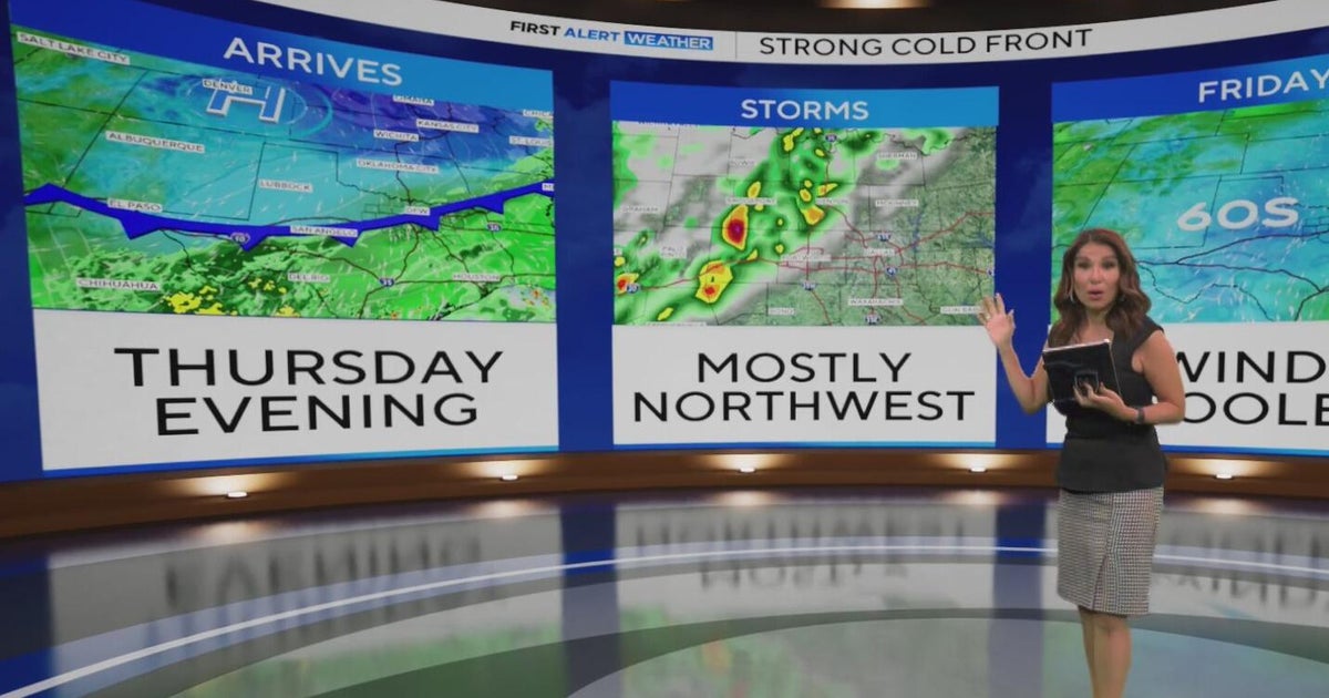 When will North Texas get that big cooldown?
Add CBS News on Google North Texas was off to another warm start Wednesday morning, with temperatures in the 70s and 80s and partly to mostly cloudy skies. Feels-like temperatures this afternoon will reach 103°. There…
-
 Josephine in Atlantic drifts away, but Pacific moisture might spoil Halloween for Texas
Subtropical Storm Josephine in the North Atlantic is racing away from the United States, while moisture from a strengthening eastern Pacific storm could bring rain to Texas around Halloween next week. Josephine's center…
-
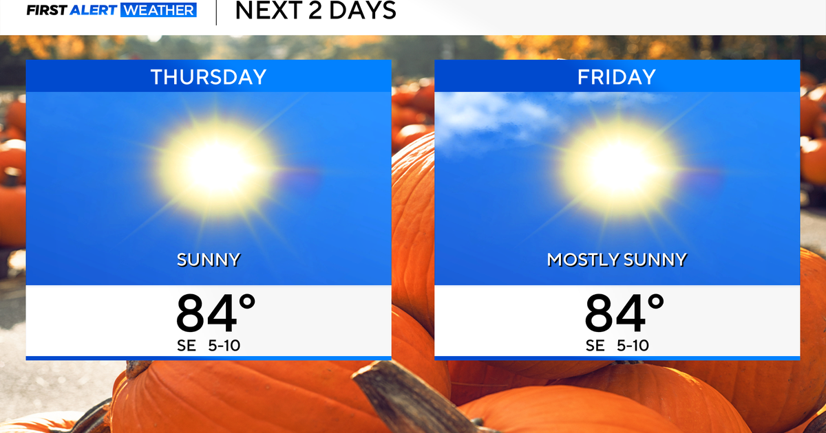 Temperatures to stay in 80s through weekend as clouds increase across North Texas
October 22, 2026 / 7:57 AM CDT / CBS Texas Temperatures are in the 50s and low 60s when you step outside to start your day. The forecast is almost identical to Wednesday, with sunshine and highs in the 80s in store for…
Air quality
Acceptable. Unusually sensitive people should consider limiting prolonged outdoor exertion.
Forecast
- FriUnhealthy for Sensitive Groups Action day
- SatModerate
- SunModerate
Dallas-Fort Worth, TX reporting area · 1 hr ago. Data from AirNow (EPA and its state, local and tribal partners); preliminary and subject to change.
Sun & moon
Almanac
MonthlyDenton Municpal Ap, records since 1996. Normals 1991–2020. Data from NOAA's Regional Climate Centers (ACIS).
Nearby
- Dallas 58 km
- Fort Worth 60 km
- Arlington 55 km
- Plano 45 km
- Garland 57 km
- Irving 49 km
- Grand Prairie 55 km
- McKinney 46 km
- Frisco 29 km
- Carrollton 37 km
- Richardson 48 km
- Lewisville 24 km
Forecasters' discussion
From the National Weather Service office in FWD, issued 7 hrs ago
Key Messages
- Quiet weather and mostly dry conditions will continue through the weekend.
- A change in the weather pattern is expected next week, bringing cooler temperatures and at least low rain chances.
Short Term
(This afternoon through Friday night) Issued at 1230 PM CDT Thu Oct 22 2026
Not much change in the weather pattern in the short-term as an upper-level ridge remains in control over the region. Afternoon temperatures will be slightly warmer today and tomorrow with highs mainly in the mid 80s as the surface flow steadily returns to the south. A blanket of mid-to-high level clouds will continue to spread eastward associated with the storm system impacting the Southwest U.S. Cloud coverage will increase tonight and tomorrow but no other impacts are expected. Otherwise, dry weather will continue across much of the state.
Long Term
(Saturday through next Wednesday) Issued at 1230 PM CDT Thu Oct 22 2026
The main story of the extended forecast continues to be the pattern change for next week that will bring some "fall-like" temperatures and low rain chances to the region. We will begin to see the transition over the weekend as the main ridge gets displaced to our east and an approaching trough get closer from the west. As we have been advertising over the last several days, this system won't bring much change for us as it is expected to track northward and far from our region. The low rain chances initially anticipated for our northwestern counties on Sunday are now less than 10% with most of the activity staying mainly across West TX and the TX Panhandle. As the system continues its progression Monday and Tuesday, we could see some showers approach areas west of I-35. Coverage will remain around 20-30% as moisture will be fairly limited over our area. The good news is that we will enjoy some cooler temperatures with highs staying in the 70s to lower 80s.
A second wave is expected to push eastward towards the late week period. Most of the guidance shows better rain chances during that 8-10 day period. This system may even bring a stronger cold front just in time for the Halloween festivities. Stay tuned!
Aviation
(00Z TAFS) Issued at 615 PM CDT Thu Oct 22 2026
A surface ridge centered to our northeast and a broad pressure gradient will keep light southeast winds in place through Friday. High clouds associated with an upper low over the Desert Southwest will occasionally drift overhead, otherwise high pressure aloft will maintain VFR and quiet conditions as we approach the weekend. Will continue with the simple one-line TAFs for the upcoming forecast cycle.
Forecasts, observations and alerts in the United States come from the National Weather Service (NOAA); radar from NOAA's Multi-Radar Multi-Sensor system; satellite imagery from NASA's Global Imagery Browse Services (GIBS) and NOAA's GOES satellites; the map from the U.S. Geological Survey's National Map; air quality from AirNow (EPA and its partners); hurricane information from the National Hurricane Center; climate normals and records from NOAA's Regional Climate Centers (ACIS). Forecasts outside the United States and the UV index: MET Norway (CC BY 4.0); observations outside the U.S.: airport reports via NOAA's Aviation Weather Center. Place names: GeoNames (CC BY 4.0). Data are copied on a schedule and may lag the sources; for warnings that affect your safety, follow your local National Weather Service office and emergency officials. Weather news is drawn from the 4Conservative index and reflects what the press published. Terms of use.