Install
Lawton, OK 73506 Weather
Current conditions
Observed at Lawton, Lawton Municipal Airport · 27 min ago
Forecast
10-day-
Tonight
Mostly clear, with a low around 54. Southeast wind 2 to 6 mph.
-
Wednesday
Sunny, with a high near 80. South southeast wind 2 to 8 mph.
-
Wednesday Night
Clear, with a low around 56. Southeast wind 1 to 7 mph.
National Weather Service forecast updated 6 hrs ago.
Hourly
Hourly forecast- Now63°
- 11 PM61°
- Wed12 AM60°
- 1 AM59°
- 2 AM58°
- 3 AM57°
- 4 AM56°
- 5 AM56°
- 6 AM55°
- 7 AM54°
- 8 AM55°
- 9 AM58°
- 10 AM64°
- 11 AM68°
- 12 PM71°
- 1 PM76°
- 2 PM78°
- 3 PM78°
- 4 PM80°
- 5 PM78°
- 6 PM77°
- 7 PM74°
- 8 PM69°
- 9 PM67°
10-day forecast
Details- TonightOct 20Mostly Clear54°
- WedOct 21Sunny56°80°
- ThuOct 22Sunny57°81°
- FriOct 23Mostly Sunny56°80°
- SatOct 24Mostly Sunny59°79°
- SunOct 25Slight Chance Rain Showers23%57°76°
- MonOct 26Slight Chance Rain Showers23%55°73°
- TueOct 27Slight Chance Rain Showers23%69°
- WedOct 28Sunny42°57°
- ThuOct 29Sunny39°58°
Days after the National Weather Service's seven are MET Norway's outlook, a computer model with no forecaster's review.
Radar
Full mapWeather news near Lawton
More weather news-
 Seasonably chilly tonight with partly cloudy skies; the slow warm up continues this week | 10/19 PM
KSWO 7News LAWTON, Okla. (KSWO) -Expect a seasonably chilly night with upper 40s to low 50s for lows. A disturbance to our west will continue to send some clouds our way with a few very light possible showers to our…
-
 Near average temperatures at the start of this week, warming up by the weekend | 10/18 PM
Near average temperatures at the start of this week, warming up by the weekend LAWTON, Okla. (KSWO) - Temperatures will drop into the mid 40’s to the upper 50’s tonight remaining near the average this time of year…
-
 Mostly sunny and cool for your Sunday; a slow warming trend this week | 10/18 AM
KSWO 7News LAWTON, Okla. (KSWO) -Another chilly morning with 30s and 40s across the area. Winds are very calm this morning and that has allowed temperatures to drop. We will warm up to the 60s and low 70s today with…
-
 Clearing skies this evening; patchy frost for parts of SW Oklahoma Saturday morning | 10/16 PM
LAWTON, Okla. (KSWO) - Bodies of missing father, 4-year-old found in Gainesville ’Some sus s--- going on’: What Nolan Wells’ friends said in texts after he mysteriously disappeared Duncan teacher accused of sticking…
-
 Last round of rain comes to an end later tonight; chilly temperatures to end the week | 10/15 PM
LAWTON, Okla. (KSWO) - Bodies of missing father, 4-year-old found in Gainesville Student dies after accidental injury at school involving scissors, officials say Here’s how much more Social Security recipients will get…
-
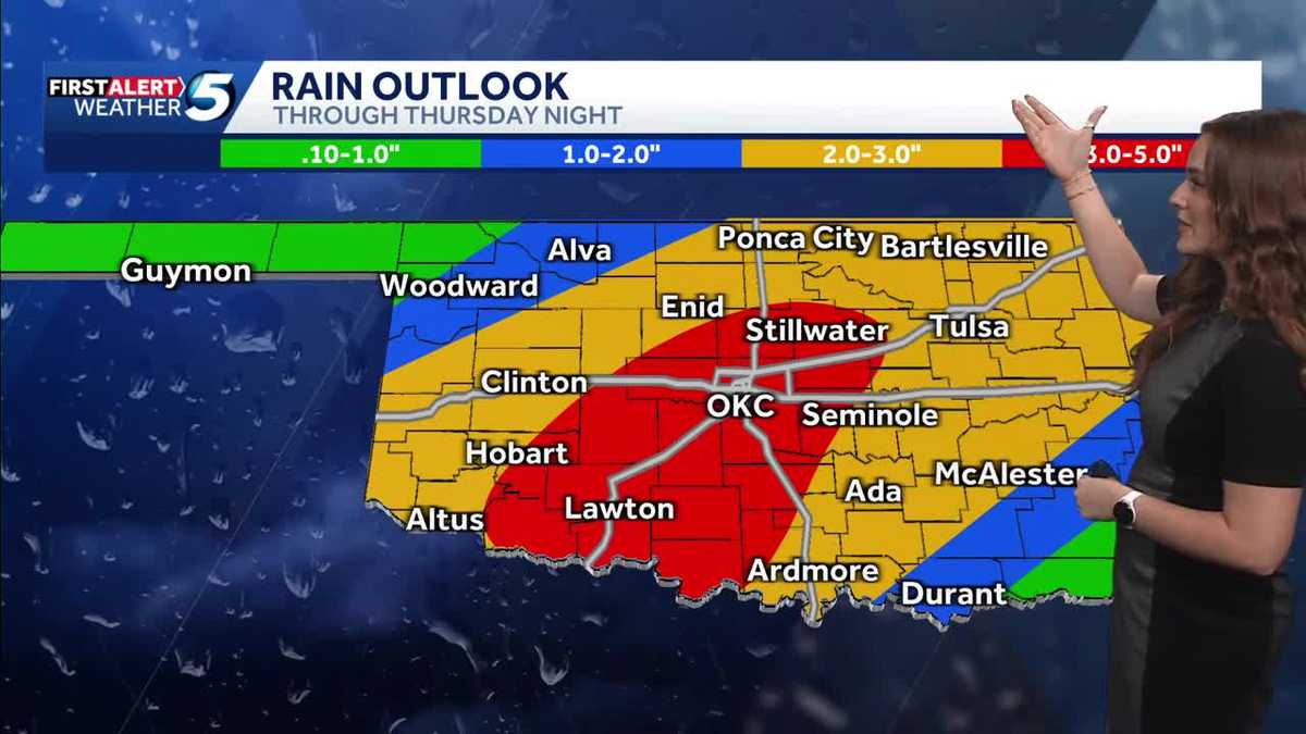 FORECAST: More rain and flooding risk for the rest of Thursday in Oklahoma
Oklahoma has already seen heavy rain and flooding, and we're not done just yet heading into the back half of Thursday. A flood watch remains in effect until 7 p.m. Thursday due to the expected rain. KOCO 5 Meteorologist…
-
 Severe Weather Is Possible Through Friday
KOKH Fox 25 provides, news, sports, weather and local event coverage in Oklahoma City and surrounding areas, including McLoud, Shawnee, Tecumseh, Seminole, Wewoka, Maud, Asher, Wanetted, Goldsby, Norman, Blanchard…
-
 First Alert Weather Day: Severe weather & flash flooding threat continues for tonight | 10/14 PM
LAWTON, Okla. (KSWO) - Showers & storms will continue for tonight, as lows drop into the upper 60s. Slight risk for severe weather & flash flooding possible through early Thursday morning. Showers & storms are in the…
-
 First Alert Weather Day today
News Channel 6 | Wichita Falls, TX WICHITA FALLS, Texas (KAUZ) - Good morning, Texoma! We are once again off to another very warm and very humid start to our day with temperatures mostly in the mid-70s. Radar is also…
-
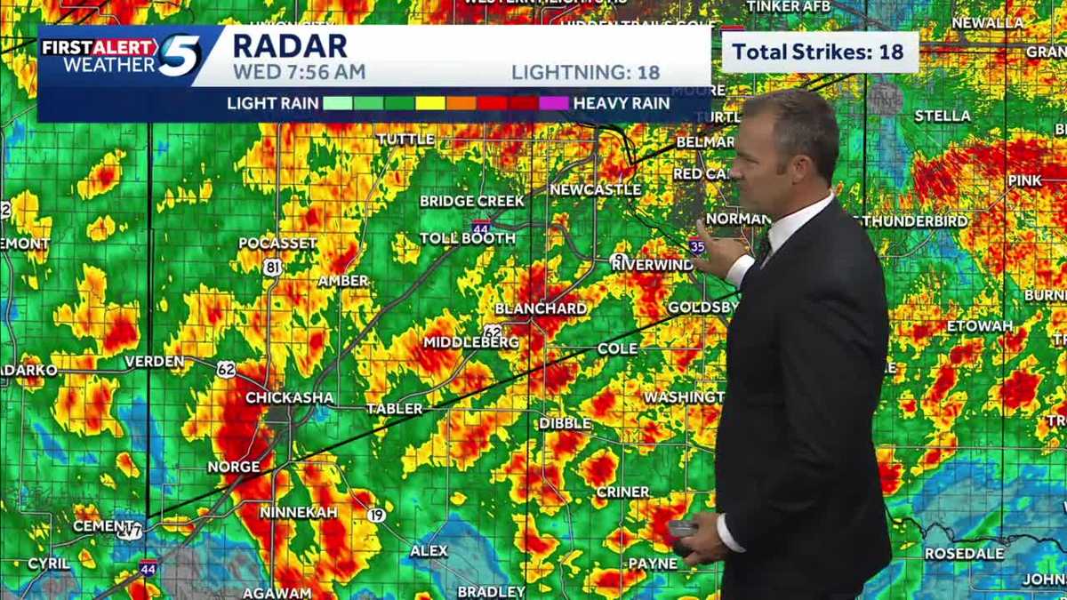 UPDATES: Storms continue into morning commute, bringing flooding risk to Oklahoma
It's another alert day in Oklahoma, as people are waking up in the OKC metro and statewide to heavy rainfall, storms, and a flash flooding risk. The heavy rain has caused dangerous road conditions as Oklahomans start…
Air quality
Acceptable. Unusually sensitive people should consider limiting prolonged outdoor exertion.
Forecast
- TueGood (50)
- WedModerate (60)
- ThuModerate (60)
Lawton, OK reporting area · 1 hr ago. Data from AirNow (EPA and its state, local and tribal partners); preliminary and subject to change.
Sun & moon
Almanac
MonthlyLawton Area, records since 1912. Normals 1991–2020. Data from NOAA's Regional Climate Centers (ACIS).
Nearby
Forecasters' discussion
From the National Weather Service office in OUN, issued 16 hrs ago
Key Messages
Updated at 601 AM CDT Tue Oct 20 2026
- Mostly dry with a continuing warming trend.
- Sprinkles or light showers possible, mainly in north OK through early Wednesday.
- Rain chances return this weekend and continue into early next week.
Near Term
(Through Tuesday) Issued at 151 AM CDT Tue Oct 20 2026
Radar continues to show high based echoes across portions of northern and western OK into the eastern panhandles early this morning. Most of this activity is likely virga or sprinkles. However, some of the activity does look robust enough that more of it could reach the ground in the form of light rain showers. This activity is expected to continue off and on through the day as some isentropic lift occurs and a shortwave moves across the Rockies into the central Plains. Like now, most of the activity will likely not reach the ground (virga) or if it does make it to the ground it will be as sprinkles but a few light rain showers can not be completely ruled out.
Otherwise, south to southeast winds will continue today with highs expected to climb into the mid/upper 70s. These temperatures are at or a few degrees warmer compared to yesterday's highs. The forecast highs are right around normal for this time of year.
Short Term
(Tuesday night through Thursday night) Issued at 151 AM CDT Tue Oct 20 2026
The previously mentioned shortwave is forecast to continue to slowly move east across the central Plains Tuesday night into Wednesday morning continuing the low chance for sprinkles and/or a few light rain showers across portions of northern/central OK. However, most locations will continue to remain dry. Any chance for rain will end later in the day on Wednesday with a dry forecast continuing into Thursday as the upper ridge builds over the southern Plains and upper trough gradually shifts east across the western U.S.
With the ridge over the area, temperatures will continue to warm Wednesday and Thursday with a return to above normal highs across the area. The highs are expected to climb into the mid/upper 70s and low 80s. Lows will also be a bit warmer with temperatures in the mid to upper 50s across the area.
Long Term
(Friday through Monday) Issued at 151 AM CDT Tue Oct 20 2026
The upper ridge will gradually shift east late this week into the weekend as the upper trough continues to slowly approach and eventually move across the Plains. Models diverge on the timing/evolution of this trough over the weekend into next week. However, right now it looks like the trough will bring a chance for some more rain and maybe some storms over the weekend into early next week. Currently, rainfall totals do not look as high (3+ inches) as what occurred in some areas with the last couple of rain events but some locations, primarily in western parts of the fa, might see as much as an 1 to 1.5 inches. The uncertainties of the timing/evolution of this system will have an impact on when/where rain chances will occur which could also have an impact on amounts so will have to wait and see how things come together.
Temperatures are expected to remain near or above average for late October over the weekend into early next week although with maybe a slight cool down early next week.
Forecasts, observations and alerts in the United States come from the National Weather Service (NOAA); radar from NOAA's Multi-Radar Multi-Sensor system; satellite imagery from NASA's Global Imagery Browse Services (GIBS) and NOAA's GOES satellites; the map from the U.S. Geological Survey's National Map; air quality from AirNow (EPA and its partners); hurricane information from the National Hurricane Center; climate normals and records from NOAA's Regional Climate Centers (ACIS). Forecasts outside the United States and the UV index: MET Norway (CC BY 4.0); observations outside the U.S.: airport reports via NOAA's Aviation Weather Center. Place names: GeoNames (CC BY 4.0). Data are copied on a schedule and may lag the sources; for warnings that affect your safety, follow your local National Weather Service office and emergency officials. Weather news is drawn from the 4Conservative index and reflects what the press published. Terms of use.