Install
Monroe, LA 71203 Weather
Current conditions
Observed at Monroe Regional Airport · 48 min ago
Forecast
10-day-
Tonight
Partly cloudy, with a low around 50. North wind around 0 mph.
-
Wednesday
Sunny, with a high near 81. Northeast wind around 0 mph.
-
Wednesday Night
Clear, with a low around 51. North wind around 0 mph.
National Weather Service forecast updated 1 hr ago.
Hourly
Hourly forecast- Now58°
- Wed12 AM57°
- 1 AM55°
- 2 AM54°
- 3 AM53°
- 4 AM51°
- 5 AM50°
- 6 AM50°
- 7 AM50°
- 8 AM50°
- 9 AM57°
- 10 AM66°
- 11 AM72°
- 12 PM76°
- 1 PM78°
- 2 PM80°
- 3 PM80°
- 4 PM81°
- 5 PM80°
- 6 PM77°
- 7 PM72°
- 8 PM65°
- 9 PM64°
- 10 PM62°
10-day forecast
Details- TonightOct 20Partly Cloudy50°
- WedOct 21Sunny51°81°
- ThuOct 22Sunny51°84°
- FriOct 23Sunny50°83°
- SatOct 24Sunny47°81°
- SunOct 25Mostly Sunny48°78°
- MonOct 26Mostly Sunny50°79°
- TueOct 27Mostly Sunny80°
- WedOct 28Light rain0.07 in59°69°
- ThuOct 29Cloudy0.04 in55°70°
Days after the National Weather Service's seven are MET Norway's outlook, a computer model with no forecaster's review.
Radar
Full mapWeather news in Louisiana
More weather news-
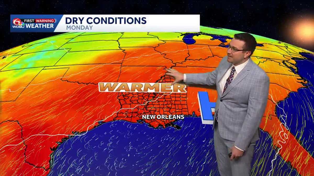 Sunny and mild days continue in southeast Louisiana
Sunny and mild days will continue in southeast Louisiana WDSU Sunny and mild days continue in southeast Louisiana Conditions will stay dry with near average temperatures over the next several days Skies will remain…
-
 NOAA winter weather forecast calls for drought relief throughout Louisiana
NOAA’s winter outlook calls for wetter-than-normal conditions in Louisiana. LSU Health climatologist Barry Keim says that’s typical during El Niño winters. Keim says a strong El Niño strengthens the southerly jet…
-
 Southeast Louisiana weather: Sunny days, chilly nights and a gradual warmup
Northshore temperatures dip near 50 tonight as dry weather holds across southeast Louisiana. Sunshine and low humidity stick around southeast Louisiana and Mississippi today. Afternoon highs will reach 78 to 83 degrees…
-
 First Alert Forecast: Comfortable Warmth Continues Across Southwest Louisiana
LAKE CHARLES, La. (KPLC) -After a beautiful fall weekend with morning lows in the 40s and 50s and afternoon highs in the 70s, Southwest Louisiana is warming up slightly — but no major heat is in sight. Monday was a…
-
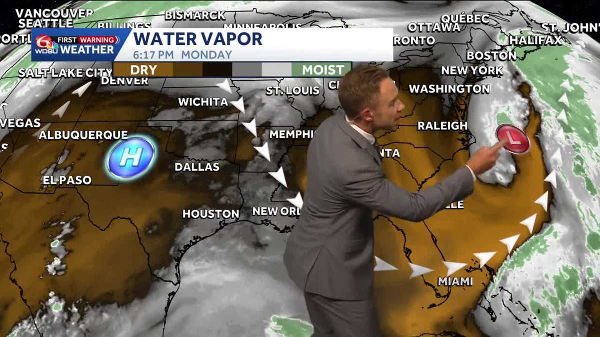 Warming up while staying sunny and dry in Louisiana
Pleasant weather conditions will continue over the next several days Clouds and sunshine will continue throughout the day with high temperatures in the mid to upper 70s during the afternoon. Mostly sunny skies will…
-
 Dry, sunny stretch locked in across Southeast Louisiana
NEW ORLEANS (WVUE) - Dry air and sunshine are locked in for the New Orleans area this afternoon. A light breeze will keep conditions comfortable across the metro, and no rain is on the way. Highs will warm back into the…
-
 Winds hold tight for Saturday’s last day of “Louisiana Severe Weather Awareness Week”
NEW ORLEANS (WGNO) – As the Louisiana Severe Weather Awareness Week wraps up, southeast Louisiana along with southern Mississippi continue to feel the “windy situation” and cooler temperatures through Saturday evening…
-
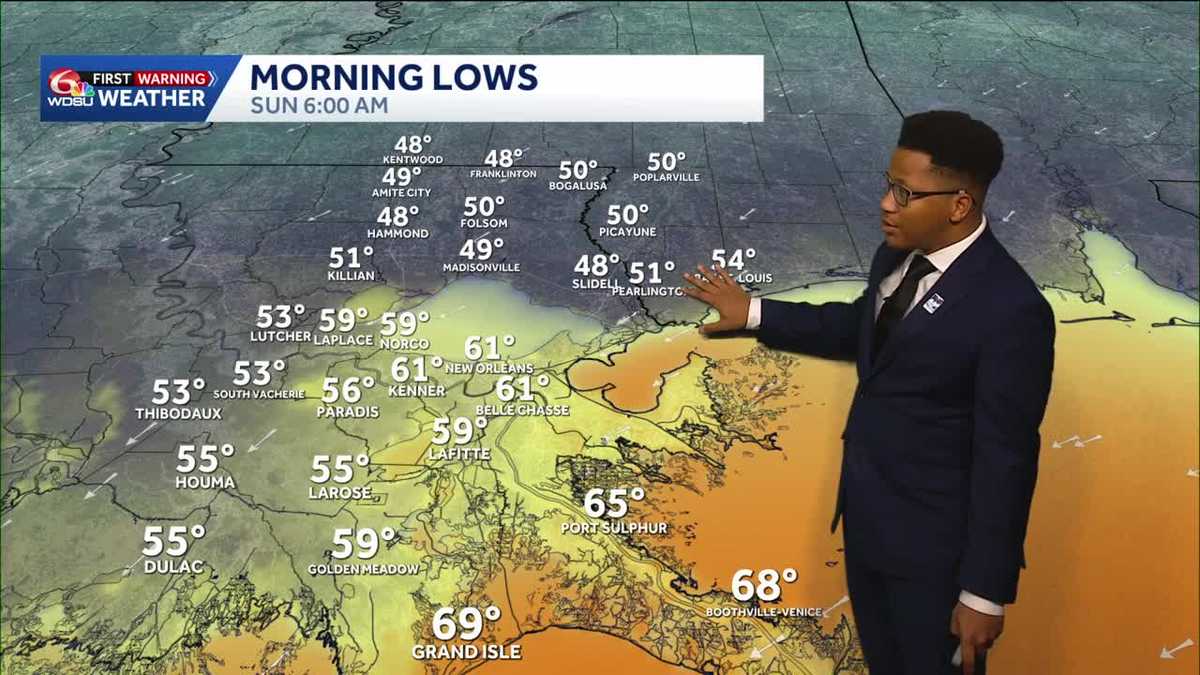 Chilly mornings return to Southeast Louisiana and Coastal Mississippi's weather forecast
Thanks to Friday's cold front, cooler air continues to move into the Deep South, including Southeast Louisiana and Coastal Mississippi. Temperatures across the Northshore Sunday morning will fall to the upper 40s and…
-
 What an El Niño winter is likely to look like for Louisiana
NEW ORLEANS (WVUE) - El Niño is setting the stage for a winter that will look very different depending on where you live across the United States. The National Oceanic and Atmospheric Administration’s winter outlook…
-
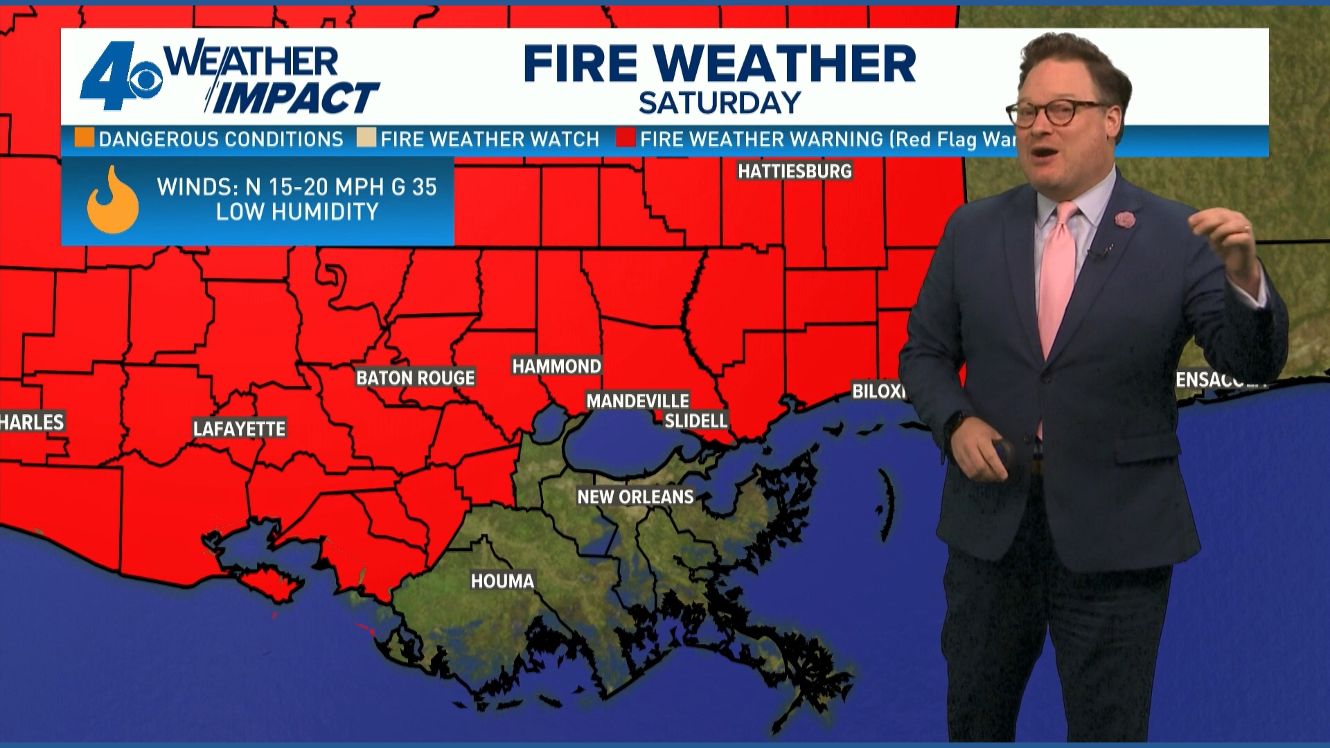 Red Flag Warning issued for parts of southeast Louisiana, southern Mississippi ahead of dry conditions
The National Weather Service has issued a Red Flag Warning for parts of southeast Louisiana and all of southern Mississippi on Friday. The warning is in effect from 9 a.m. until 8 p.m. on Saturday as forecasters say a…
Air quality
Acceptable. Unusually sensitive people should consider limiting prolonged outdoor exertion.
Forecast
- TueGood (44)
- WedModerate (53)
- ThuGood (50)
Monroe, LA reporting area · 1 hr ago. Data from AirNow (EPA and its state, local and tribal partners); preliminary and subject to change.
Sun & moon
Almanac
MonthlyMonroe Area, records since 1893. Normals 1991–2020. Data from NOAA's Regional Climate Centers (ACIS).
Nearby
- Ruston 56 km
- West Monroe 11 km
- Claiborne 15 km
- Bastrop 28 km
- Winnsboro 53 km
- Swartz 6 km
- Brownsville 13 km
- Farmerville 42 km
- Rayville 28 km
- Bawcomville 15 km
- Richwood 12 km
- Delhi 53 km
Forecasters' discussion
From the National Weather Service office in SHV, issued 4 hrs ago
Key Messages
Issued at 153 PM CDT Tue Oct 20 2026
- A slight and continuous warming trend, along with reduced cloud cover and rain chances near zero, will maintain already elevated wildfire development risks.
- Rain chances will remain near zero percent through the next 7 days.
- Temperatures will remain near or slightly above normal for this time of the year (maximums/minimums in the lower 80s/lower 50s, respectively).
Discussion
Issued at 153 PM CDT Tue Oct 20 2026
Another day of surface ridging is underway with troughing off of the west coast and east coast of the CONUS. All spatiotemporal forecast trends are for ridging to remain as the predominant weather influence across the Four State Region through most of the rest of October. This synoptic setup will suppress rain chances throughout the 7-day forecast period (near 0% all week) and keep temperature maximums/minimums near or just above normal (maximums/minimums in the lower 80s/lower 50s, respectively). Combined with dry antecedent soils and an expansion of severe to extreme drought conditions being maintained, fire weather will continue to be a top forecast concern/impact, especially for areas north of I-20.
Long-range guidance suggests that surface ridging will very gradually evolve in shape and speed, elongating into an axis across the Mississippi River Valley by the end of the week and shifting east by the end of the weekend. In the process, the dry airmass will reinforce light easterly winds or calm winds through the week (a welcome reprieve from more critical fire weather conditions). Extended outlooks continue to paint a dry outlook for the rest of October with signals for ridging and dry weather to persist later into next week before a frontal boundary approaches the area for Halloween. /16/
Aviation
(00Z TAFS) Issued at 648 PM CDT Tue Oct 20 2026
For the ArkLaTex terminals, VFR continues this week with surface high pressure blowing cool and dry wind down the MS River Valley. We will keep E/NE5-10KT for Wednesday plus. The upper level pattern builds a ridge over the exiting surface high, bringing sinking air in late week and through this weekend, with our next fropa finally bringing down the upper ridge with some needed convection during Tuesday/night next week. /24/
Spotter Information Statement
Issued at 1119 PM CDT Mon Oct 19 2026
Spotter activation may be needed this week in the event of wildfire development.
Forecasts, observations and alerts in the United States come from the National Weather Service (NOAA); radar from NOAA's Multi-Radar Multi-Sensor system; satellite imagery from NASA's Global Imagery Browse Services (GIBS) and NOAA's GOES satellites; the map from the U.S. Geological Survey's National Map; air quality from AirNow (EPA and its partners); hurricane information from the National Hurricane Center; climate normals and records from NOAA's Regional Climate Centers (ACIS). Forecasts outside the United States and the UV index: MET Norway (CC BY 4.0); observations outside the U.S.: airport reports via NOAA's Aviation Weather Center. Place names: GeoNames (CC BY 4.0). Data are copied on a schedule and may lag the sources; for warnings that affect your safety, follow your local National Weather Service office and emergency officials. Weather news is drawn from the 4Conservative index and reflects what the press published. Terms of use.