Install
Covington, LA 70435 Weather
Current conditions
Observed at Hammond, Hammond Municipal Airport · 1 hr ago
Forecast
10-day-
Tonight
Clear, with a low around 51. Northeast wind 0 to 5 mph.
-
Wednesday
Sunny. High near 84, with temperatures falling to around 81 in the afternoon. Northeast wind around 5 mph.
-
Wednesday Night
Clear, with a low around 51. Northeast wind around 0 mph.
National Weather Service forecast updated 8 hrs ago.
Hourly
Hourly forecast- Now70°
- 8 PM62°
- 9 PM60°
- 10 PM58°
- 11 PM56°
- Wed12 AM55°
- 1 AM55°
- 2 AM54°
- 3 AM54°
- 4 AM52°
- 5 AM52°
- 6 AM52°
- 7 AM51°
- 8 AM52°
- 9 AM57°
- 10 AM65°
- 11 AM71°
- 12 PM75°
- 1 PM77°
- 2 PM79°
- 3 PM80°
- 4 PM81°
- 5 PM81°
- 6 PM76°
10-day forecast
Details- TodayOct 20Sunny51°82°
- WedOct 21Sunny51°84°
- ThuOct 22Sunny52°85°
- FriOct 23Sunny52°86°
- SatOct 24Sunny53°81°
- SunOct 25Sunny52°80°
- MonOct 26Mostly Sunny51°81°
- TueOct 27Cloudy55°78°
- WedOct 28Cloudy59°81°
- ThuOct 29Sunny58°83°
Days after the National Weather Service's seven are MET Norway's outlook, a computer model with no forecaster's review.
Radar
Full mapWeather news near Covington
More weather news-
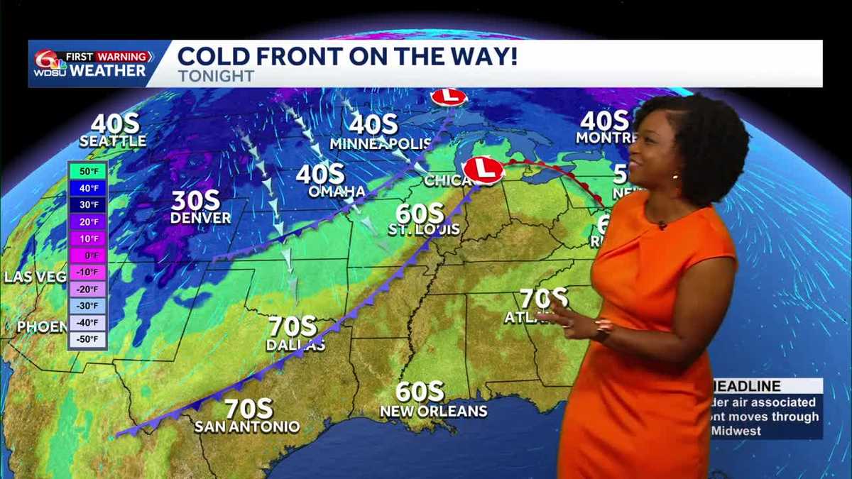 Southeast Louisiana weather: Dense fog this morning, cooler weekend ahead
Thursday starts with a fog concern before another warm afternoon. A Friday cold front brings sunshine, lower humidity and cooler temperatures for the weekend. Thursday and Friday remain WDSU First Warning Weather Impact…
-
 NOAA winter weather forecast calls for drought relief throughout Louisiana
NOAA’s winter outlook calls for wetter-than-normal conditions in Louisiana. LSU Health climatologist Barry Keim says that’s typical during El Niño winters. Keim says a strong El Niño strengthens the southerly jet…
-
 First Alert Forecast: Comfortable Warmth Continues Across Southwest Louisiana
LAKE CHARLES, La. (KPLC) -After a beautiful fall weekend with morning lows in the 40s and 50s and afternoon highs in the 70s, Southwest Louisiana is warming up slightly — but no major heat is in sight. Monday was a…
-
 Dry, sunny stretch locked in across Southeast Louisiana
NEW ORLEANS (WVUE) - Dry air and sunshine are locked in for the New Orleans area this afternoon. A light breeze will keep conditions comfortable across the metro, and no rain is on the way. Highs will warm back into the…
-
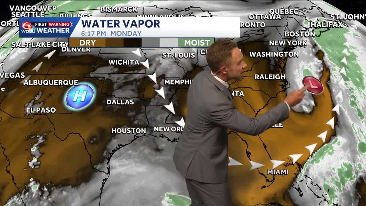 Warming up while staying sunny and dry in Louisiana
Pleasant weather conditions will continue over the next several days Clouds and sunshine will continue throughout the day with high temperatures in the mid to upper 70s during the afternoon. Mostly sunny skies will…
-
 Winds hold tight for Saturday’s last day of “Louisiana Severe Weather Awareness Week”
NEW ORLEANS (WGNO) – As the Louisiana Severe Weather Awareness Week wraps up, southeast Louisiana along with southern Mississippi continue to feel the “windy situation” and cooler temperatures through Saturday evening…
-
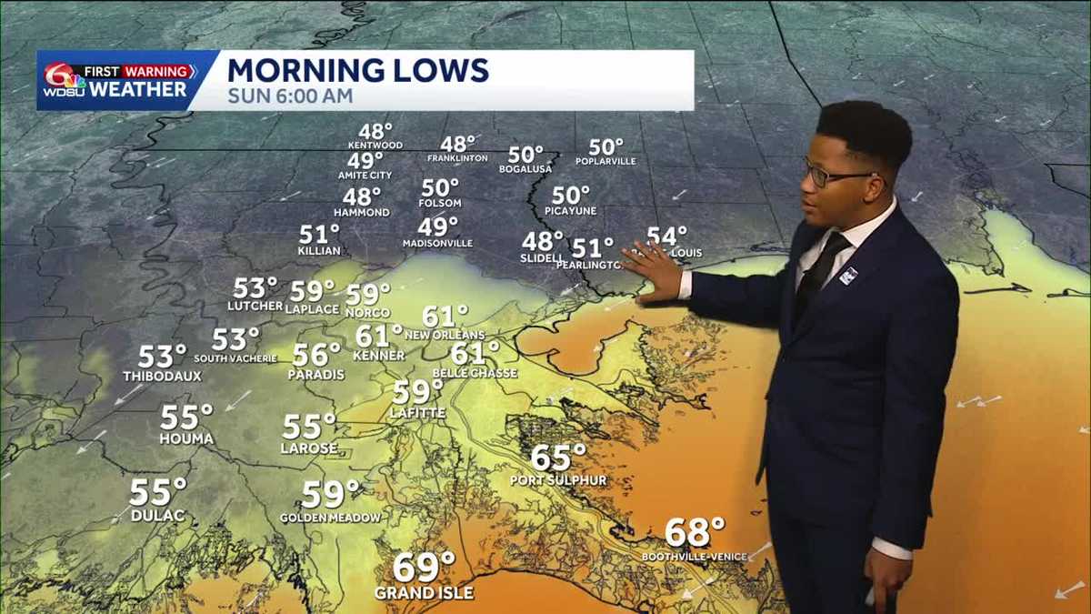 Chilly mornings return to Southeast Louisiana and Coastal Mississippi's weather forecast
Thanks to Friday's cold front, cooler air continues to move into the Deep South, including Southeast Louisiana and Coastal Mississippi. Temperatures across the Northshore Sunday morning will fall to the upper 40s and…
-
 What an El Niño winter is likely to look like for Louisiana
NEW ORLEANS (WVUE) - El Niño is setting the stage for a winter that will look very different depending on where you live across the United States. The National Oceanic and Atmospheric Administration’s winter outlook…
-
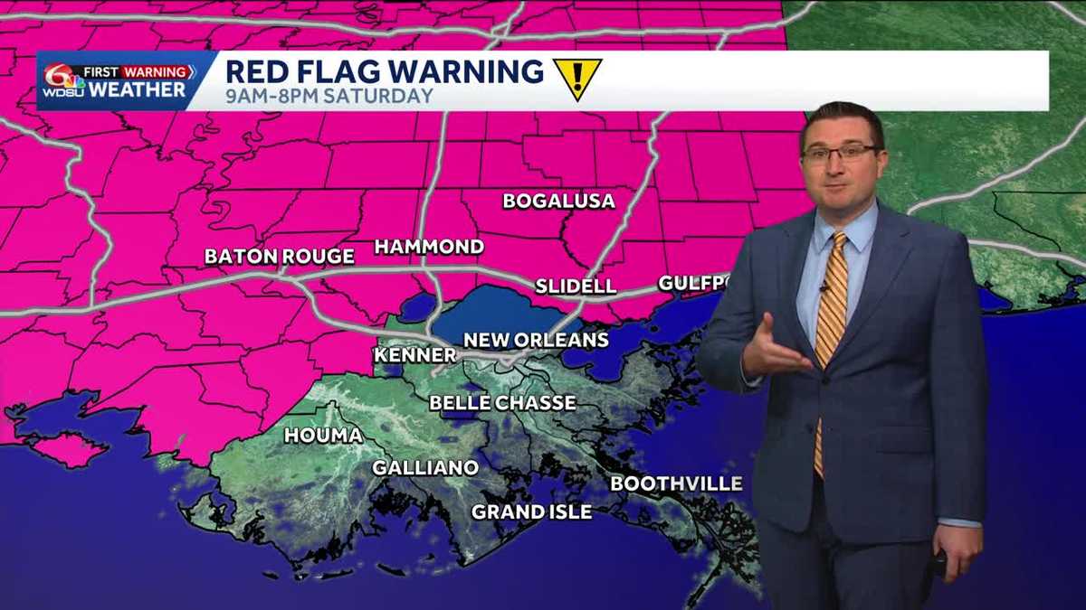
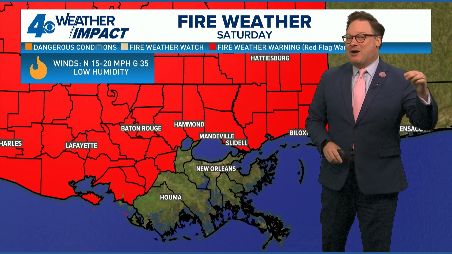 Red Flag Warning issued for parts of southeast Louisiana, southern Mississippi ahead of dry conditions
The National Weather Service has issued a Red Flag Warning for parts of southeast Louisiana and all of southern Mississippi on Friday. The warning is in effect from 9 a.m. until 8 p.m. on Saturday as forecasters say a…
-
 Cool, windy, and dry weather behind the cold front in Louisiana this weekend
A big change in the weather pattern is expected A strong cold front is currently moving through the region now and will bring much cooler, drier, and windier conditions with it. A Wind Advisory is in effect for all…
Air quality
Air quality is satisfactory, and air pollution poses little or no risk.
Forecast
- TueGood (44)
- WedModerate (53)
- ThuModerate (56)
New Orleans, LA reporting area · 1 hr ago. Data from AirNow (EPA and its state, local and tribal partners); preliminary and subject to change.
Sun & moon
Almanac
MonthlyBig Branch Nwr Louisiana, records since 2002. Normals 1991–2020. Data from NOAA's Regional Climate Centers (ACIS).
Nearby
- Slidell 45 km
- Hammond 35 km
- Carriere 44 km
- Mandeville 23 km
- Bogalusa 35 km
- Picayune 42 km
- Lacombe 32 km
- Ponchatoula 35 km
- Eden Isle 48 km
- Amite 42 km
- Franklinton 32 km
- Nicholson 41 km
Forecasters' discussion
From the National Weather Service office in LIX, issued 13 hrs ago
Key Messages
Updated at 550 AM CDT Tue Oct 20 2026
- Conditions will remain somewhat favorable for the spread of fires through the remainder of this week due to low humidity and drought/abnormally dry conditions across most of the area.
- Conditions will remain hazardous to small craft across most coastal waters in southeastern Louisiana and Mississippi due to moderate to strong winds and high waves/choppy to rough seas. Exercise caution headlines will remain in place through at least Tuesday morning for most coastal waters.
Short Term
(Now through Friday) Issued at 1238 AM CDT Tue Oct 20 2026
The forecast is relatively quiet and generally a temperature forecast through much of the week. The ridge build over the western Gulf and TX coast will slide west and continue to build over the next few days. By Wednesday afternoon the ridge will be centered over northern Mexico with the ridge xis extending north just east of the Rockies. This will place the area under deep northwest flow Wednesday and by Thursday as the ridge continues to build north we will move under northerly flow which will dominate the area into the weekend. At the sfc high pressure will continue to dominate the region and remain centered well to the north. The gradient will slack off leading to lighter winds but given the northwesterly to northerly flow aloft and high pressure at the sfc leading to easterly flow there will be no moisture recovery and thus no rain in the forecast. LL temps will slowly climb with h925 temps around 18C by Thursday. This will lead to afternoon highs climbing into the mid to upper 80s by Friday. The increase in afternoon temps and lack of moisture recovery will continue to lead to RH values dropping a little more each day and thus elevated fire weather concerns. Luckily winds will remain on the light side. /CAB/
Long Term
(Friday night through Monday) Issued at 1238 AM CDT Tue Oct 20 2026
Upper level troughs will extend from the Canadian Maritime Provinces to near Savannah to the central Gulf, and over the Intermountain West, with ridging from Texas to the upper Mississippi River Valley on Friday night. Surface high pressure over northern Maine will extend southwestward into Texas, controlling the weather over the eastern half of the country.
The ridging will be centered over the Gulf on Monday, with an upper trough developing over the Texas/Oklahoma Panhandles. Surface high pressure will be continuing to control the weather across the area through the weekend into early next week. The current wind forecast doesn't show any indications of winds becoming primarily onshore through early next week. This means no significant moisture return, which is reflected by forecast precipitable water values remaining below 1 inch, and generally at the 25th percentile or less, climatologically. This will keep any significant precipitation well offshore through the weekend into early next week.
Temperature-wise, the warming trend from earlier in the week will continue as the continental airmass gradually modifies beneath the ridge. Highs will generally reach the upper 70s (coastal areas) to mid 80s (inland) across the area through the weekend, with some locations around Baton Rouge potentially approaching 90 degrees. That's probably the upper end though, as the 90th percentile at Baton Rouge at the end of the week is 89. With plenty of sunshine and relatively dry air still in place, expect some rather large diurnal temperature ranges, especially across southwest Mississippi and the Florida Parishes. Overnight lows should generally fall into the low to mid 50s across the inland portions of the area, with upper 50s and low 60s closer to the coast and southshore. Won't rule out a few upper 40s in the normally cooler locations. /RW/
Aviation
(12Z TAFS) Issued at 550 AM CDT Tue Oct 20 2026
VFR conditions continue to occur at all terminals and will persist through the forecast. That said there may be a few times where low clouds could temporarily move overhead but even those will be few to sct with cigs will likely above 3k. /CAB/
Forecasts, observations and alerts in the United States come from the National Weather Service (NOAA); radar from NOAA's Multi-Radar Multi-Sensor system; satellite imagery from NASA's Global Imagery Browse Services (GIBS) and NOAA's GOES satellites; the map from the U.S. Geological Survey's National Map; air quality from AirNow (EPA and its partners); hurricane information from the National Hurricane Center; climate normals and records from NOAA's Regional Climate Centers (ACIS). Forecasts outside the United States and the UV index: MET Norway (CC BY 4.0); observations outside the U.S.: airport reports via NOAA's Aviation Weather Center. Place names: GeoNames (CC BY 4.0). Data are copied on a schedule and may lag the sources; for warnings that affect your safety, follow your local National Weather Service office and emergency officials. Weather news is drawn from the 4Conservative index and reflects what the press published. Terms of use.