Install
Hastings, NE 68902 Weather
Current conditions
Observed at Hastings, Hastings Municipal Airport · 1 hr ago
Forecast
10-day-
Today
Sunny, with a high near 74. South wind around 5 mph.
-
Tonight
Mostly clear, with a low around 50. South wind 0 to 5 mph.
-
Thursday
Mostly sunny, with a high near 77. South wind 0 to 10 mph, with gusts as high as 25 mph.
National Weather Service forecast updated 8 hrs ago.
Hourly
Hourly forecast- Now70°
- 2 PM72°
- 3 PM73°
- 4 PM73°
- 5 PM74°
- 6 PM72°
- 7 PM69°
- 8 PM65°
- 9 PM60°
- 10 PM58°
- 11 PM57°
- Thu12 AM56°
- 1 AM55°
- 2 AM54°
- 3 AM53°
- 4 AM52°
- 5 AM52°
- 6 AM51°
- 7 AM51°
- 8 AM50°
- 9 AM53°
- 10 AM58°
- 11 AM63°
- 12 PM68°
10-day forecast
Details- TodayOct 21Sunny50°74°
- ThuOct 22Mostly Sunny57°77°
- FriOct 23Mostly Sunny59°76°
- SatOct 24Chance Rain Showers51%47°70°
- SunOct 25Rain Showers Likely69%44°58°
- MonOct 26Rain Showers Likely69%40°54°
- TueOct 27Slight Chance Rain Showers then Partly Sunny24%39°56°
- WedOct 28Light rain0.02 in46°63°
- ThuOct 29Sunny38°51°
- FriOct 30Sunny39°60°
Days after the National Weather Service's seven are MET Norway's outlook, a computer model with no forecaster's review.
Radar
Full mapWeather news near Hastings
More weather news-
 Warming up through the work week before a cool down with rain chances this weekend
KSNB HASTINGS, Neb. (KSNB) - Good evening! Temperatures stayed cooler today in the mid to upper 60’s with mostly sunny skies. Temperatures continue to warm through the work week with upper 70’s likely Friday. Strong…
-
 Warmer and dry weather expected as we head into next week
Dry and warmer weather expected into the new week. Rain chances return next weekend. HASTINGS, Neb. (KSNB) - Good evening! After some early morning frost and freeze temperatures warmed back into the low to mid 60’s…
-
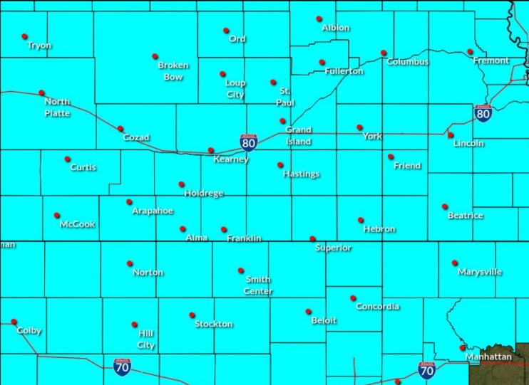 Freeze Watch in effect for central Nebraska for Saturday morning
A Freeze Watch has been issued for central Nebraska through the morning of Saturday, Oct. 17, (NWS Hastings, Courtesy) HASTINGS — A Freeze Watch has been issued for all of central Nebraska from the evening of Friday…
-
 First Hard Freeze and Frost Warnings Threaten Kansas and Southeast Nebraska
The Sunflower State Radio Network First Hard Freeze and Frost Warnings Threaten Kansas and Southeast Nebraska The first widespread autumn freeze is knocking on the door. The National Weather Service has issued a cascade…
-
 Strong winds of today will subside tonight, bringing most the first frost of the fall
HASTINGS, Neb. (KSNB) - Blustery winds have kept most of us from seeing frost this morning, but that won’t be the case tonight. The frost will be followed by the return of warmer temperatures. Saturday and Sunday: After…
-
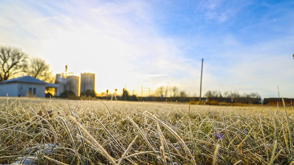 First widespread frost of the fall possible on Saturday morning
Frost covers the ground in Overton, (Brian Neben, Courtesy) HASTINGS —The first widespread frost of the season will be possible across parts of central Nebraska from the evening of Friday, Oct. 17 into the morning of…
-
 Rain continues today, but stronger winds and frost become our weather stories soon
KSNB HASTINGS, Neb. (KSNB) - We’ll continue to see some scattered showers today, becoming less prevalent as the day goes on. By later today, much stronger winds are expected. While some may see frost tonight, much…
-
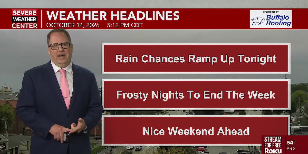 A damp and cool Thursday followed by some of the coldest fall air yet this season
A damp and cool Thursday followed by some of the coldest fall air we have felt to end the week HASTINGS, Neb. (KSNB) - Good Wednesday evening all! Clouds and rain will be the first part of the weather story overnight…
-
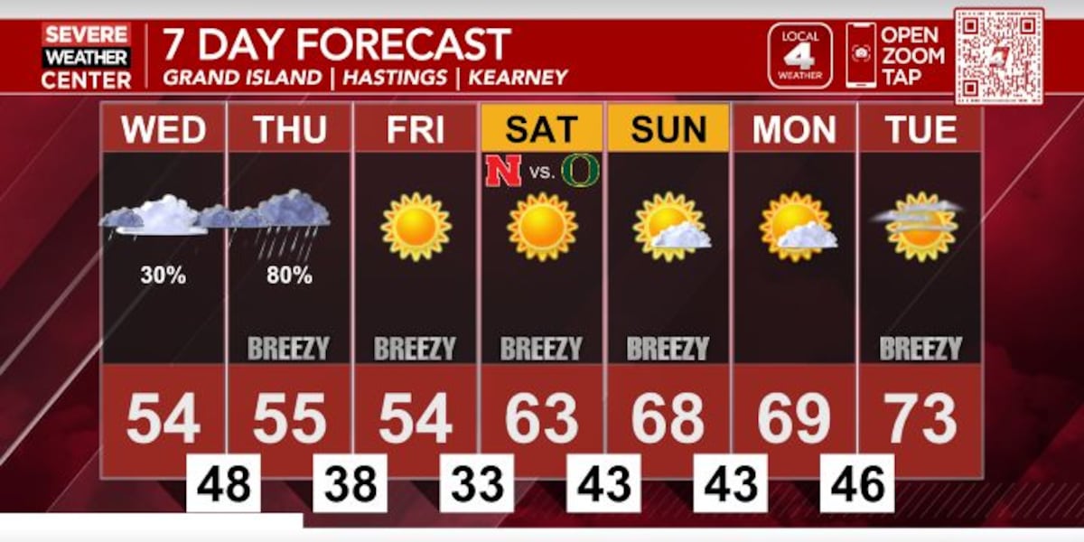 Temperatures staying cool through the work week with rain chances Wednesday and Thursday
KSNB HASTINGS, Neb. (KSNB) - Good evening! It was a much cooler day today as temperatures stayed in the low to mid 50’s for much of the area. We’ll see these cooler temperatures stick around through the end of the work…
-
 Fall has returned for the rest of the week, and rain chances will eventually return
HASTINGS, Neb. (KSNB) - Much cooler air will settle in for the rest of this week. That will eventually come with a round of rain. Frost and some sub-freezing temperatures will also be on the way later in the week…
Air quality
Acceptable. Unusually sensitive people should consider limiting prolonged outdoor exertion.
Grand Island, NE reporting area · 2 hrs ago. Data from AirNow (EPA and its state, local and tribal partners); preliminary and subject to change.
Sun & moon
Almanac
MonthlyHastings Area, records since 1907. Normals 1991–2020. Data from NOAA's Regional Climate Centers (ACIS).
Nearby
- Grand Island 38 km
- Kearney 59 km
- Aurora 45 km
- Minden 48 km
Forecasters' discussion
From the National Weather Service office in GID, issued 6 hrs ago
Key Messages
- Patchy fog is possible through the mid morning hours across western portions of the area.
- Pleasant weather today and Thursday with highs in the mid 70s.
- Windy weather on Friday with southerly winds gusting 35-50mph.
- Widespread precipitation chances (40-65%) arrive this weekend- Monday.
Discussion
Issued at 607 AM CDT Wed Oct 21 2026
Patchy sub-VFR fog possible at KEAR through 15z, otherwise VFR conditions expected through at majority of TAF period. Patchy fog has developed west of KEAR this morning, and may continue to expand over KEAR. Looking at sites currently impacted by fog, it's plausible for LIFR visibility to develop in fog, but confidence is not high enough to include visibility below 2 miles at this time. For now have included a TEMPO group through 15z when fog is most likely. Another round of fog may develop late in the TAF period at both KGRI and KEAR, and have included a 6SM BR group to indicate this potential. Light southerly winds are possible throughout TAF period.
Gid Watches
NE...None. KS...None.
Forecasts, observations and alerts in the United States come from the National Weather Service (NOAA); radar from NOAA's Multi-Radar Multi-Sensor system; satellite imagery from NASA's Global Imagery Browse Services (GIBS) and NOAA's GOES satellites; the map from the U.S. Geological Survey's National Map; air quality from AirNow (EPA and its partners); hurricane information from the National Hurricane Center; climate normals and records from NOAA's Regional Climate Centers (ACIS). Forecasts outside the United States and the UV index: MET Norway (CC BY 4.0); observations outside the U.S.: airport reports via NOAA's Aviation Weather Center. Place names: GeoNames (CC BY 4.0). Data are copied on a schedule and may lag the sources; for warnings that affect your safety, follow your local National Weather Service office and emergency officials. Weather news is drawn from the 4Conservative index and reflects what the press published. Terms of use.