Install
Rose Hill, KS 67133 Weather
Current conditions
Observed at Augusta Municipal Airport · 29 min ago
Forecast
10-day-
Today
A slight chance of rain showers before 11am. Mostly sunny, with a high near 76. South wind 7 to 10 mph. Chance of precipitation is 20%.
-
Tonight
Partly cloudy, with a low around 54. Southeast wind 3 to 7 mph.
-
Thursday
Sunny, with a high near 78. South southeast wind 3 to 10 mph.
National Weather Service forecast updated 4 hrs ago.
Hourly
Hourly forecast- Now72°
- 2 PM74°
- 3 PM75°
- 4 PM75°
- 5 PM75°
- 6 PM74°
- 7 PM71°
- 8 PM66°
- 9 PM62°
- 10 PM60°
- 11 PM58°
- Thu12 AM57°
- 1 AM56°
- 2 AM56°
- 3 AM55°
- 4 AM55°
- 5 AM55°
- 6 AM55°
- 7 AM55°
- 8 AM55°
- 9 AM58°
- 10 AM63°
- 11 AM68°
- 12 PM71°
10-day forecast
Details- TodayOct 21Slight Chance Rain Showers then Mostly Sunny21%54°76°
- ThuOct 22Sunny55°78°
- FriOct 23Mostly Sunny56°77°
- SatOct 24Mostly Sunny55°76°
- SunOct 25Partly Sunny18%54°74°
- MonOct 26Chance Rain Showers47%47°68°
- TueOct 27Slight Chance Rain Showers24%44°62°
- WedOct 28Mostly sunny0.09 in52°78°
- ThuOct 29Partly cloudy0.62 in40°64°
- FriOct 30Cloudy37°59°
Days after the National Weather Service's seven are MET Norway's outlook, a computer model with no forecaster's review.
Radar
Full mapWeather news near Rose Hill
More weather news-
 Storm Track 3 Forecast: Sprinkles Tuesday, cold front brings rain this weekend
A mix of clouds and sunshine today will keep partly cloudy skies around overnight. A spotty sprinkle or shower is possible overnight into the morning across southern Kansas. With a weak disturbance tracking through the…
-
 Warming up this week
WICHITA, Kan. (KWCH) - Warmer temperatures are on the way for the week ahead as a stretch of quiet weather continues. It will be a cool start to the day on Monday with morning low temperatures in the mid to upper 40s…
-
 Fantastic fall Sunday, warmer days ahead
KCTV KANSAS CITY, Mo. (KCTV) - Chilly temperatures blanket the region for the start of your Sunday. SUNDAY: Sunshine is expected all day, so that will help our crisp fall conditions feel a bit more pleasant. We have a…
-
 Severe Weather Alert: Heavy Rain and Flooding Expected Across Kansas
Home » Trending » Severe Weather Alert: Heavy Rain and Flooding Expected Across Kansas WICHITA, Kan. – Residents in south central and southeast Kansas are bracing for an ongoing weather pattern characterized by…
-
 Much cooler & windy today
WICHITA, Kan. (KWCH) - It’s a chilly but quiet morning across the state, with wake up temperatures in the 30s and 40s. Gusty north winds will make it feel even colder. Expect mostly sunny skies this afternoon with…
-
 Cool days ahead
WICHITA, Kan. (KWCH) - Cooler weather will continue through the weekend with our first frost of the season expected on Saturday morning. It will be a chilly start to the day on Friday with morning low temperatures in…
-
 Ross's Wednesday evening forecast
KWCH Ross's Wednesday evening forecast 109th Honor Flight returns to Kansas following D.C. trip K-State president departing for alma mater Va. Tech President Trump stops in Arizona ahead of Wichita visit
-
 What does a strong El Niño mean for Kansas? Here's what residents need to know
Wichita Eagle Forecasters say an already strong El Niño is intensifying, with a greater than 90% chance a “very strong” event continues through the coming seasons. For Kansas, that could mean a wetter fall and winter —…
-
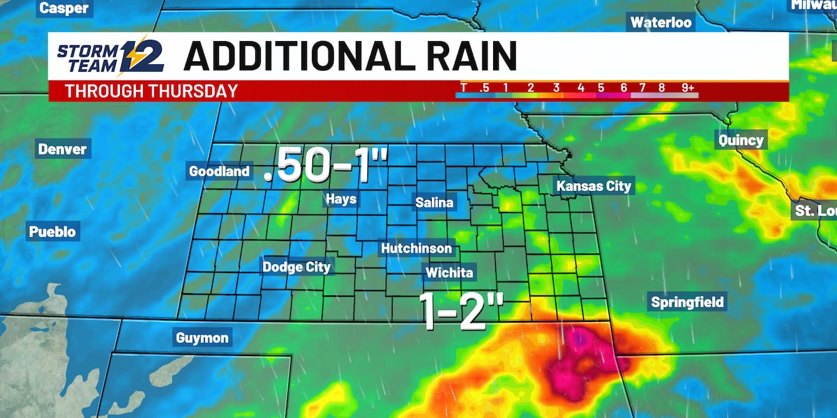 Weather Alert - More rainfall today with risk of flooding
WICHITA, Kan. (KWCH) - Scattered showers and storms continue early this morning and likely on and off throughout the day. A Weather Alert for heavy rain and flooding remains in effect through Thursday as another wave of…
- Daily high-temperature records broken or tied on October 13 across parts of the central U.S.
Five daily high-temperature records were broken and one was tied at six sites across Kansas, Oklahoma, Missouri and Illinois on October 13, 2026. Temperatures at the sites reached 32.8–33.9°C (91–93°F), or 9.4–13.3°C…
Air quality
Air quality is satisfactory, and air pollution poses little or no risk.
Wichita, KS reporting area · 2 hrs ago. Data from AirNow (EPA and its state, local and tribal partners); preliminary and subject to change.
Sun & moon
Almanac
MonthlyWichita Area, records since 1888. Normals 1991–2020. Data from NOAA's Regional Climate Centers (ACIS).
Nearby
- Wichita 23 km
- Derby 14 km
- Newton 56 km
- El Dorado 35 km
- Andover 15 km
- Winfield 39 km
- Arkansas City 58 km
- Haysville 21 km
- Augusta 17 km
- Wellington 41 km
- Park City 30 km
- Valley Center 36 km
Forecasters' discussion
From the National Weather Service office in ICT, issued 10 min ago
Key Messages
- Morning showers/sprinkles diminishing early with mild and dry conditions anticipated through much of the weekend.
- Increasing chances for showers will arrive late Sunday into Monday night while a cold front ushers in cooler air Mon and especially on Tuesday.
Discussion
Issued at 335 AM CDT Wed Oct 21 2026
A shortwave trough situated over the Central Plains will continue moving slowly eastward as we move into the day. Some lingering showers and sprinkles this morning will gradually diminish with clearing from west to east as we move into the late morning and early afternoon hours. Abundant afternoon insolation will result in above average temperatures with maximum temperatures climbing into the 70s areawide. Normal highs for late October are in the upper 60s.
Thu-Sat...a narrow mid/upper ridge will continue to impact the area through Saturday bringing above average temperatures and dry weather conditions. This ridge will gradually translate eastward into the Mississippi Valley area while a robust mid/upper trough just off the CA coast today will gradually build eastward into the Central Great Basin area and the Southwest. As we move into Saturday, the entrance region to the H25 jet will gradually build into the Central High Plains bringing increasing chances for showers to much of western and parts of central KS late in the period.
Higher probabilities for showers are expected to arrive Sunday night into Monday night as the pv anomaly accelerates over the Central Plains region and a cold front arrives ushering in cooler more seasonable air for Monday-Tuesday. Below average temperatures are expected in the wake of the front with highs on Tue struggling to climb out of the 50s over parts of central KS.
Aviation
Issued at 1252 PM CDT Wed Oct 21 2026
VFR conditions through the forecast period. Light southerly winds will turn southeasterly this evening. Clouds will continue to clear across southeast Kansas with only a few mid-level clouds through the end of the TAF time frame
Ict Watches
None.
Forecasts, observations and alerts in the United States come from the National Weather Service (NOAA); radar from NOAA's Multi-Radar Multi-Sensor system; satellite imagery from NASA's Global Imagery Browse Services (GIBS) and NOAA's GOES satellites; the map from the U.S. Geological Survey's National Map; air quality from AirNow (EPA and its partners); hurricane information from the National Hurricane Center; climate normals and records from NOAA's Regional Climate Centers (ACIS). Forecasts outside the United States and the UV index: MET Norway (CC BY 4.0); observations outside the U.S.: airport reports via NOAA's Aviation Weather Center. Place names: GeoNames (CC BY 4.0). Data are copied on a schedule and may lag the sources; for warnings that affect your safety, follow your local National Weather Service office and emergency officials. Weather news is drawn from the 4Conservative index and reflects what the press published. Terms of use.