Install
El Dorado, KS 67042 Weather
Current conditions
Observed at Augusta Municipal Airport · 38 min ago
Forecast
10-day-
Friday
Mostly sunny, with a high near 78. South wind 6 to 14 mph, with gusts as high as 23 mph.
-
Friday Night
Partly cloudy, with a low around 57. South southeast wind 7 to 10 mph, with gusts as high as 20 mph.
-
Saturday
Mostly sunny, with a high near 77. South wind 7 to 10 mph, with gusts as high as 18 mph.
National Weather Service forecast updated 1 day ago.
Hourly
Hourly forecast- Now56°
- 8 AM56°
- 9 AM61°
- 10 AM65°
- 11 AM69°
- 12 PM73°
- 1 PM75°
- 2 PM76°
- 3 PM77°
- 4 PM77°
- 5 PM76°
- 6 PM74°
- 7 PM71°
- 8 PM67°
- 9 PM65°
- 10 PM64°
- 11 PM63°
- Sat12 AM63°
- 1 AM62°
- 2 AM61°
- 3 AM60°
- 4 AM59°
- 5 AM58°
- 6 AM57°
10-day forecast
Details- ThuOct 22Sunny56°79°
- TodayOct 23Mostly Sunny57°78°
- SatOct 24Mostly Sunny55°77°
- SunOct 25Partly Sunny13%55°78°
- MonOct 26Chance Rain Showers40%49°71°
- TueOct 27Slight Chance Rain Showers then Partly Sunny22%46°66°
- WedOct 28Mostly Sunny14%50°69°
- ThuOct 29Mostly sunny42°56°
- FriOct 30Partly cloudy37°58°
- SatOct 31Cloudy49°67°
Days after the National Weather Service's seven are MET Norway's outlook, a computer model with no forecaster's review.
Radar
Full mapWeather news near El Dorado
More weather news-
 Heavy rainfall expected Wednesday evening and most of Thursday in the Inland Empire
Keep umbrellas and rain boots close – there’s a storm coming. The National Weather Service reports a high chance of heavy rainfall Wednesday night and through most of Thursday in San Bernardino and Riverside counties…
-
 Milder and cloudier
WICHITA FALLS, Texas (KAUZ) - Good morning, Texoma! We are off to a very comfortable start this morning with temperatures in the lower-50s. Skies are mostly clear. We had another round of very nice weather yesterday…
- A wet morning, then a warmer Wednesday afternoon
WICHITA, Kan. (KWCH) - For the third day in a row we are waking up to a few showers in the Wichita area. Expect all the activity to be history by the end of the morning drive leaving us mostly sunny and warm this…
-
 A few showers to start the day
WICHITA, Kan. (KWCH) - It is another chilly morning across Kansas with wake-up temperatures in the 40s. However, later today as skies turn partly cloudy highs will climb into the lower 70s which is a few degrees above…
-
 Another very nice day
News Channel 6 | Wichita Falls, TX WICHITA FALLS, Texas (KAUZ) - Good morning, Texoma! We had a really nice seasonal weather yesterday. I expect to see similar conditions today. Highs this afternoon should climb into…
-
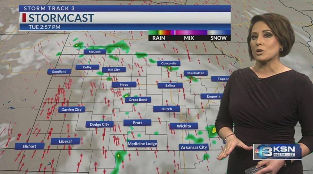 Storm Track 3 Forecast: Sprinkles Tuesday, cold front brings rain this weekend
A mix of clouds and sunshine today will keep partly cloudy skies around overnight. A spotty sprinkle or shower is possible overnight into the morning across southern Kansas. With a weak disturbance tracking through the…
-
 Another East Pacific storm brewing, eyeing the southern Mexican shoreline
AccuWeather hurricane experts are once again monitoring a high risk for tropical development southwest of Mexico in the wake of Trudy. Over the very warm waters south of Mexico, forecasters are watching the cluster of…
-
 Another cold night tonight with warmer weather ahead
WICHITA FALLS, Texas (KAUZ) - Well, it was another chilly start to the morning across Texoma, with temperatures in the lower 40s. However, once we got into the afternoon, those numbers climbed into the upper 60s, making…
-
 Warming up this week
WICHITA, Kan. (KWCH) - Warmer temperatures are on the way for the week ahead as a stretch of quiet weather continues. It will be a cool start to the day on Monday with morning low temperatures in the mid to upper 40s…
-
 Fantastic fall Sunday, warmer days ahead
KCTV KANSAS CITY, Mo. (KCTV) - Chilly temperatures blanket the region for the start of your Sunday. SUNDAY: Sunshine is expected all day, so that will help our crisp fall conditions feel a bit more pleasant. We have a…
Air quality
Acceptable. Unusually sensitive people should consider limiting prolonged outdoor exertion.
Wichita, KS reporting area · 1 hr ago. Data from AirNow (EPA and its state, local and tribal partners); preliminary and subject to change.
Sun & moon
Almanac
MonthlyEl Dorado, records since 1893. Normals 1991–2020. Data from NOAA's Regional Climate Centers (ACIS).
Nearby
Forecasters' discussion
From the National Weather Service office in ICT, issued 4 hrs ago
Key Messages
- Above normal temperatures through the weekend with near-normal temperatures next week
- Mostly dry conditions through the weekend; rain chances return early next week
Discussion
Issued at 245 AM CDT Fri Oct 23 2026
As of 230AM Friday morning, an omega blocking pattern was present across the CONUS with trough axis' across the coasts and ridging across the central US. A weak perturbation was lifting across the Four Corners region with scattered showers and thunderstorms across NM/CO. The overall pattern is not progged to shift much over the next few days. With the forecast area remaining under the influence of the midlevel ridge, temperatures will remain above normal through the weekend with highs in the upper 70s to near 80. In addition, this will keep the best rain chances well-west of the forecast area and across far western KS and CO. By late Saturday night into Sunday, a strong northern stream midlevel trough will slide across the southern Canadian provinces, deamplifying the ridge axis across the MS Valley. As the ridge deamplifies, the western CONUS trough will eventually eject into the Plains early next week. It's arrival will bring rain chances back to the area and temperatures near- normal. A secondary shortwave trough across the Pacific NW may emerge across the central Plains towards the middle of next week, bringing additional rain chances to the forecast area Wednesday. Northwest midlevel looks to build in for the second half of next week yielding dry and seasonable temperatures in the upper 60s and lower 70s.
Aviation
Issued at 1035 PM CDT Thu Oct 22 2026
Quiet VFR conditions are expected the next 24 hours across central, south-central, and southeast Kansas. Isolated shower and thunderstorm activity overnight should remain well west- northwest of RSL and GBD. Deep High Plains low pressure will support continued breezy south winds Friday, with gusts up to around 25-30 kts, strongest for RSL and GBD.
Ict Watches
None.
Forecasts, observations and alerts in the United States come from the National Weather Service (NOAA); radar from NOAA's Multi-Radar Multi-Sensor system; satellite imagery from NASA's Global Imagery Browse Services (GIBS) and NOAA's GOES satellites; the map from the U.S. Geological Survey's National Map; air quality from AirNow (EPA and its partners); hurricane information from the National Hurricane Center; climate normals and records from NOAA's Regional Climate Centers (ACIS). Forecasts outside the United States and the UV index: MET Norway (CC BY 4.0); observations outside the U.S.: airport reports via NOAA's Aviation Weather Center. Place names: GeoNames (CC BY 4.0). Data are copied on a schedule and may lag the sources; for warnings that affect your safety, follow your local National Weather Service office and emergency officials. Weather news is drawn from the 4Conservative index and reflects what the press published. Terms of use.