Install
Wamego, KS 66547 Weather
Current conditions
Observed at Manhattan, Manhattan Municipal Airport · 31 min ago
Forecast
10-day-
Tonight
Isolated rain showers before 4am. Mostly cloudy, with a low around 52. Southeast wind 0 to 5 mph. Chance of precipitation is 20%.
-
Wednesday
A chance of rain showers between 7am and 10am. Mostly sunny, with a high near 76. South wind around 5 mph.
-
Wednesday Night
Mostly clear, with a low around 52. Southeast wind 0 to 5 mph.
National Weather Service forecast updated 3 hrs ago.
Hourly
Hourly forecast- Now55°18%
- 2 AM53°16%
- 3 AM53°17%
- 4 AM53°14%
- 5 AM52°14%
- 6 AM52°14%
- 7 AM52°10%
- 8 AM52°11%
- 9 AM54°10%
- 10 AM59°
- 11 AM63°
- 12 PM67°
- 1 PM71°
- 2 PM73°
- 3 PM75°
- 4 PM76°
- 5 PM75°
- 6 PM73°
- 7 PM70°
- 8 PM65°
- 9 PM62°
- 10 PM60°
- 11 PM59°
- Thu12 AM59°
10-day forecast
Details- TonightOct 20Isolated Rain Showers18%52°
- TodayOct 21Chance Rain Showers then Mostly Sunny14%52°76°
- ThuOct 22Sunny56°77°
- FriOct 23Mostly Sunny59°77°
- SatOct 24Partly Sunny56°78°
- SunOct 25Slight Chance Rain Showers25%52°72°
- MonOct 26Chance Rain Showers then Slight Chance Showers And Thunderstorms35%48°66°
- TueOct 27Chance Rain Showers26%62°
- WedOct 28Sunny36°52°
- ThuOct 29Sunny34°59°
Days after the National Weather Service's seven are MET Norway's outlook, a computer model with no forecaster's review.
Radar
Full mapWeather news near Wamego
More weather news-
 National Weather Service issues freeze warning
JC Post National Weather Service issues freeze warning - Including the cities of Manhattan, Washington, Greenleaf, Hiawatha, Herington, St. Marys, Linn, Sabetha, Bennington, Belleville, Hanover, Blue Rapids, Junction…
-
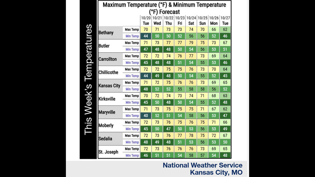 Kansas City’s warm, mostly dry stretch lasts through Sunday. What comes next?
Fall temperatures are climbing in Kansas City again Tuesday, with warmer-than-normal weather expected through the weekend, the National Weather Service says. Skies will become increasingly cloudy as metro temperatures…
-
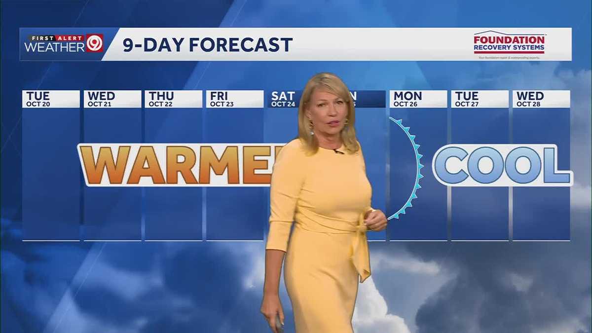 Warming trend continues for Kansas City
You may encounter a stray sprinkle but otherwise, we continue a warming trend KMBC Tuesday: mix sun and clouds. High 70, wind: S 5-10 mph Wed: Partly cloudy 51/73 Wind: S 5 mph Thu: Mostly sunny: 52/75 wind: SSE 5-10 mph
-
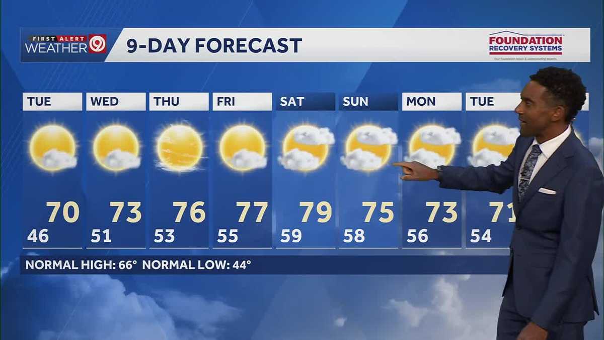 After a cool few days, warmer temperatures return starting Tuesday in Kansas City
After some cool and comfortable fall temperatures, things start to warm up once again for the rest of the week! Expect sunshine and dry conditions for the next few days. Tuesday will be partly cloudy with highs in the…
-
 KSHB 41 Weather | Sunshine and highs in the 60s Sunday in Kansas City
KSHB 41 Weather | Sunshine and highs in the 60s Sunday KSHB 41 Kansas City KSHB 41 Weather | Sunshine and highs in the 60s Sunday in Kansas City KANSAS CITY, Mo. — Hosting an event or gathering? Send your weather…
-
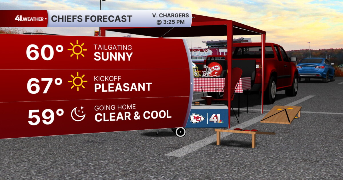 KSHB 41 Weather Blog | Pleasant stretch of weather in store for Kansas City
KANSAS CITY, Mo. — Pleasant, fall weather is sticking around for the next few days, before highs reach near 80° by the end of the week. Sunday is going to be the ideal fall day. Chilly in the morning, then reaching the…
- Kansas City Weather Forecast: Freeze Watch Before 80-Degree Warmup
Kansas City was expected to wake to temperatures in the lower 40s Friday morning, with skies possibly clear at first and stratus potentially moving through, and a sharp north wind making the October air feel colder than…
- Southwest Kansas Forecast | KAKE First Alert Weather
KAKE (1 of 5) : Freeze Warning from SAT 1:00 AM CDT until SAT 10:00 AM CDT (2 of 5) : Freeze Warning from SAT 12:00 AM MDT until SAT 9:00 AM MDT (3 of 5) : Freeze Warning from SAT 12:00 AM MDT until SAT 8:00 AM MDT (4…
-
 Severe Weather Alert: Heavy Rain and Flooding Expected Across Kansas
Home » Trending » Severe Weather Alert: Heavy Rain and Flooding Expected Across Kansas WICHITA, Kan. – Residents in south central and southeast Kansas are bracing for an ongoing weather pattern characterized by…
-
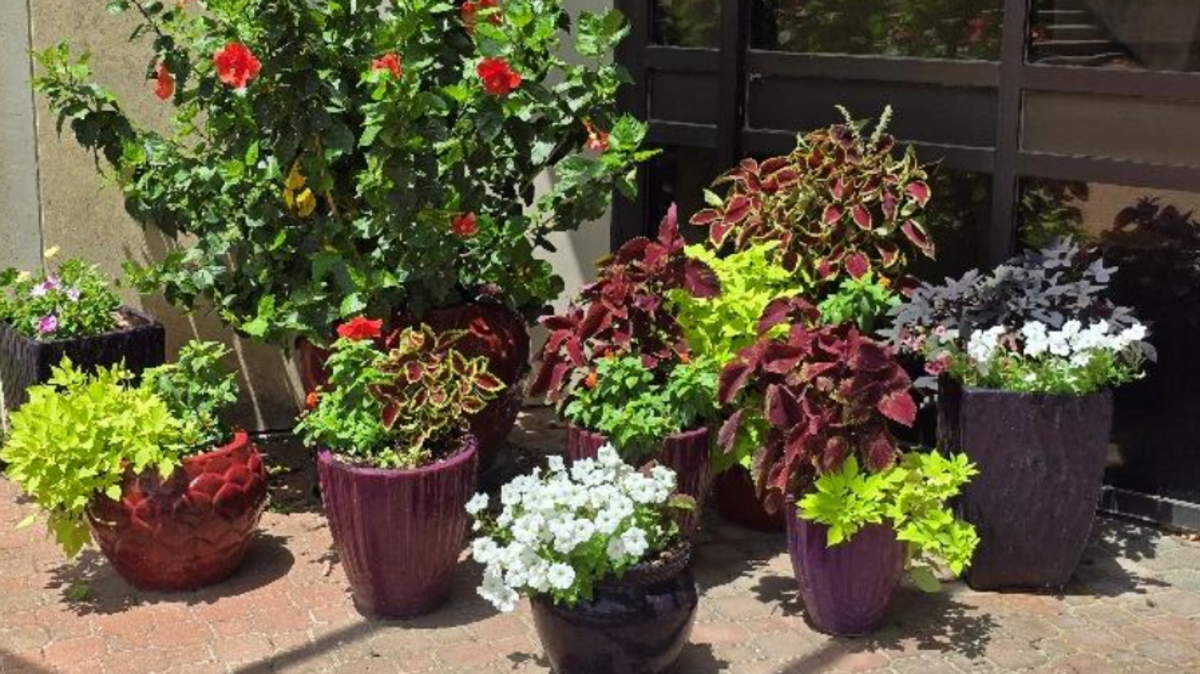 Is it time to bring houseplants indoors for winter? What Kansas experts recommend
The first freeze of the season could hit much of Kansas this weekend. This means — if you haven’t already — it is time to bring any sensitive houseplants inside for the winter. Most houseplants can experience cold…
Air quality
Acceptable. Unusually sensitive people should consider limiting prolonged outdoor exertion.
Topeka, KS reporting area · 1 hr ago. Data from AirNow (EPA and its state, local and tribal partners); preliminary and subject to change.
Sun & moon
Almanac
MonthlyWamego 4 W, records since 1900. Normals 1991–2020. Data from NOAA's Regional Climate Centers (ACIS).
Nearby
- Topeka 58 km
- Manhattan 22 km
- Junction City 49 km
- Fort Riley North 44 km
- Holton 57 km
- Saint Marys 21 km
- Ogden 35 km
Forecasters' discussion
From the National Weather Service office in TOP, issued 2 hrs ago
Key Messages
- Low chances (10-20%) for showers or sprinkles continue into Wednesday morning.
- Temperatures remain above-normal through Saturday, trending cooler with chances for precipitation early next week.
Discussion
Issued at 205 PM CDT Tue Oct 20 2026
Southwesterly mid-level flow resides over the Central Plains this afternoon ahead of a closed low off the California coast. Embedded energy in the mean flow continues to spark spotty showers/sprinkles across the area. A more pronounced wave moves east across Kansas this evening and overnight, with somewhat deeper saturation and the higher chances (20%) for scattered showers. Expect some light rain or sprinkles to continue into Wednesday morning before dry conditions return. The upper ridge moves overhead Wednesday through Friday with increasing southerly low-level winds allowing temperatures to warm into the mid and upper 70s with dry conditions.
Guidance is coming into better agreement in the evolution of the western trough this weekend into early next week. The majority of guidance keeps the main trough farther west through the end of the week, leading to a slower progression of the surface cold front. As such, confidence is increasing in mainly dry and warm conditions through at least Saturday, potentially even Sunday, before a northern stream trough shunts the cold front through the area. Temperature spreads remain large Sunday into next week given differences in frontal positioning and cloud cover/precipitation. Nonetheless, highest precipitation chances come as the front moves through Sunday-Monday with cooler temperatures expected behind the boundary.
Aviation
Issued at 631 PM CDT Tue Oct 20 2026
The showers continued to diminish, so have removed them from TAFs. There could still be a few sprinkles or isolated rainshowers through the early morning hours.
Top Watches
None.
Forecasts, observations and alerts in the United States come from the National Weather Service (NOAA); radar from NOAA's Multi-Radar Multi-Sensor system; satellite imagery from NASA's Global Imagery Browse Services (GIBS) and NOAA's GOES satellites; the map from the U.S. Geological Survey's National Map; air quality from AirNow (EPA and its partners); hurricane information from the National Hurricane Center; climate normals and records from NOAA's Regional Climate Centers (ACIS). Forecasts outside the United States and the UV index: MET Norway (CC BY 4.0); observations outside the U.S.: airport reports via NOAA's Aviation Weather Center. Place names: GeoNames (CC BY 4.0). Data are copied on a schedule and may lag the sources; for warnings that affect your safety, follow your local National Weather Service office and emergency officials. Weather news is drawn from the 4Conservative index and reflects what the press published. Terms of use.