Install
Hiawatha, KS 66434 Weather
Current conditions
Observed at Falls City, Brenner Field Airport · 1 hr ago
Forecast
10-day-
Thursday
Sunny, with a high near 78. South wind 0 to 5 mph.
-
Thursday Night
Mostly clear, with a low around 54. South wind around 5 mph.
-
Friday
Mostly sunny, with a high near 78. South wind 5 to 15 mph, with gusts as high as 25 mph.
National Weather Service forecast updated 3 hrs ago.
Hourly
Hourly forecast- Now52°
- 8 AM54°
- 9 AM57°
- 10 AM64°
- 11 AM68°
- 12 PM72°
- 1 PM75°
- 2 PM76°
- 3 PM76°
- 4 PM78°
- 5 PM76°
- 6 PM74°
- 7 PM70°
- 8 PM65°
- 9 PM63°
- 10 PM62°
- 11 PM61°
- Fri12 AM59°
- 1 AM59°
- 2 AM57°
- 3 AM57°
- 4 AM56°
- 5 AM55°
- 6 AM55°
10-day forecast
Details- TonightOct 21Mostly Clear52°
- TodayOct 22Sunny54°78°
- FriOct 23Mostly Sunny57°78°
- SatOct 24Mostly Sunny55°78°
- SunOct 25Partly Sunny11%54°77°
- MonOct 26Chance Rain Showers36%47°70°
- TueOct 27Slight Chance Rain Showers22%44°62°
- WedOct 28Mostly Sunny14%66°
- ThuOct 29Rain0.07 in48°63°
- FriOct 30Cloudy44°62°
Days after the National Weather Service's seven are MET Norway's outlook, a computer model with no forecaster's review.
Radar
Full mapWeather news near Hiawatha
More weather news-
 National Weather Service issues freeze warning
JC Post National Weather Service issues freeze warning - Including the cities of Manhattan, Washington, Greenleaf, Hiawatha, Herington, St. Marys, Linn, Sabetha, Bennington, Belleville, Hanover, Blue Rapids, Junction…
-
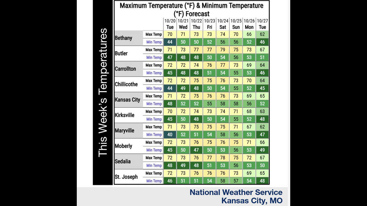 Kansas City’s warm, mostly dry stretch lasts through Sunday. What comes next?
Fall temperatures are climbing in Kansas City again Tuesday, with warmer-than-normal weather expected through the weekend, the National Weather Service says. Skies will become increasingly cloudy as metro temperatures…
-
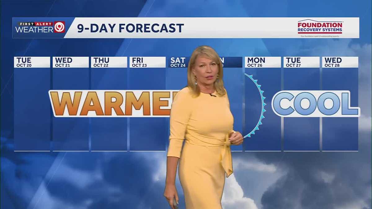 Warming trend continues for Kansas City
You may encounter a stray sprinkle but otherwise, we continue a warming trend KMBC Tuesday: mix sun and clouds. High 70, wind: S 5-10 mph Wed: Partly cloudy 51/73 Wind: S 5 mph Thu: Mostly sunny: 52/75 wind: SSE 5-10 mph
-
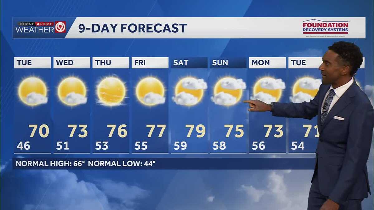 After a cool few days, warmer temperatures return starting Tuesday in Kansas City
After some cool and comfortable fall temperatures, things start to warm up once again for the rest of the week! Expect sunshine and dry conditions for the next few days. Tuesday will be partly cloudy with highs in the…
-
 KSHB 41 Weather | Sunshine and highs in the 60s Sunday in Kansas City
KSHB 41 Weather | Sunshine and highs in the 60s Sunday KSHB 41 Kansas City KSHB 41 Weather | Sunshine and highs in the 60s Sunday in Kansas City KANSAS CITY, Mo. — Hosting an event or gathering? Send your weather…
-
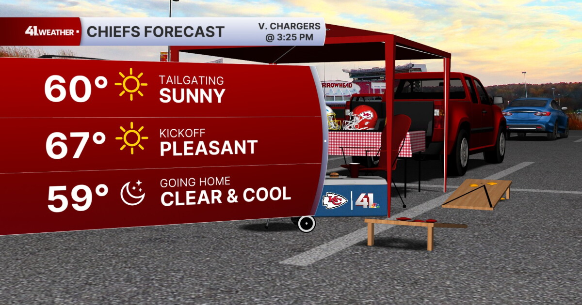 KSHB 41 Weather Blog | Pleasant stretch of weather in store for Kansas City
KANSAS CITY, Mo. — Pleasant, fall weather is sticking around for the next few days, before highs reach near 80° by the end of the week. Sunday is going to be the ideal fall day. Chilly in the morning, then reaching the…
- Kansas City Weather Forecast: Freeze Watch Before 80-Degree Warmup
Kansas City was expected to wake to temperatures in the lower 40s Friday morning, with skies possibly clear at first and stratus potentially moving through, and a sharp north wind making the October air feel colder than…
- Southwest Kansas Forecast | KAKE First Alert Weather
KAKE (1 of 5) : Freeze Warning from SAT 1:00 AM CDT until SAT 10:00 AM CDT (2 of 5) : Freeze Warning from SAT 12:00 AM MDT until SAT 9:00 AM MDT (3 of 5) : Freeze Warning from SAT 12:00 AM MDT until SAT 8:00 AM MDT (4…
-
 Severe Weather Alert: Heavy Rain and Flooding Expected Across Kansas
Home » Trending » Severe Weather Alert: Heavy Rain and Flooding Expected Across Kansas WICHITA, Kan. – Residents in south central and southeast Kansas are bracing for an ongoing weather pattern characterized by…
-
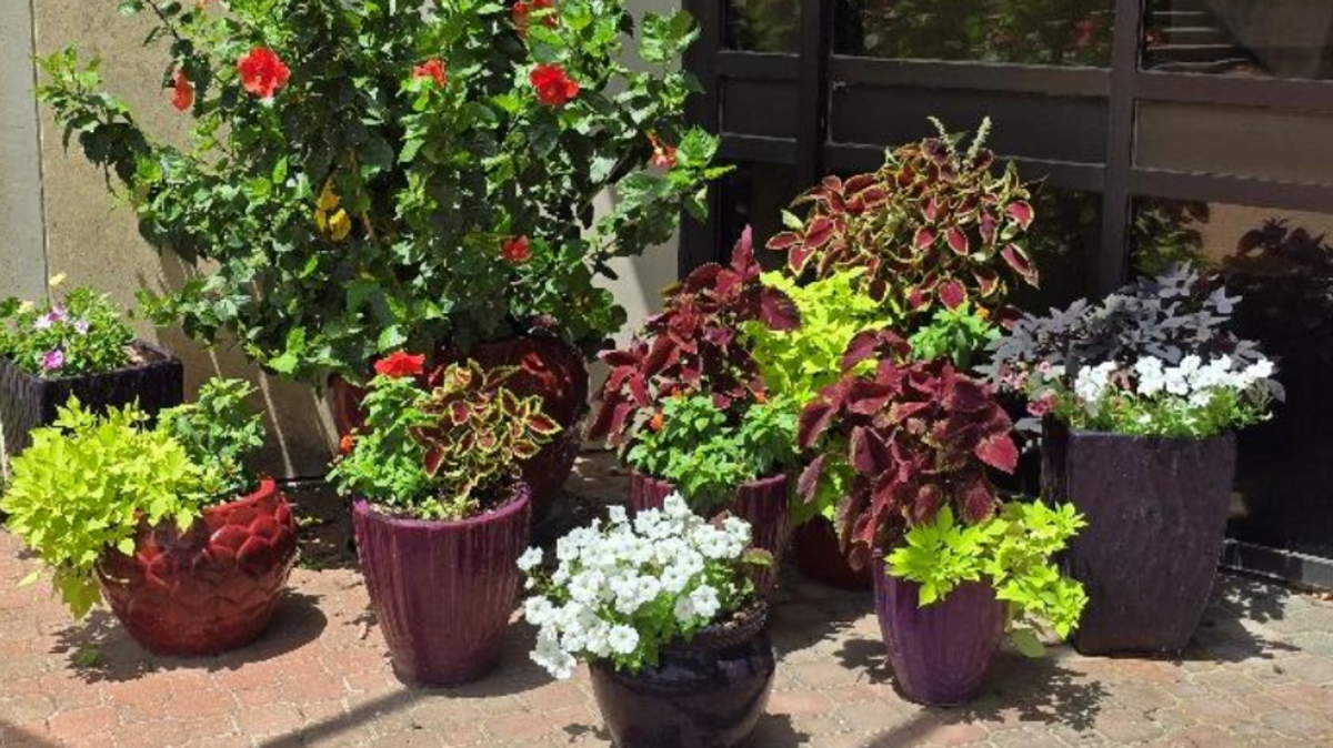 Is it time to bring houseplants indoors for winter? What Kansas experts recommend
The first freeze of the season could hit much of Kansas this weekend. This means — if you haven’t already — it is time to bring any sensitive houseplants inside for the winter. Most houseplants can experience cold…
Air quality
Acceptable. Unusually sensitive people should consider limiting prolonged outdoor exertion.
St. Joseph, MO reporting area · 2 hrs ago. Data from AirNow (EPA and its state, local and tribal partners); preliminary and subject to change.
Sun & moon
Almanac
MonthlyHorton, records since 1891. Normals 1991–2020. Data from NOAA's Regional Climate Centers (ACIS).
Nearby
- Atchison 48 km
- Falls City 30 km
- Holton 38 km
- Sabetha 21 km
- Seneca 40 km
Forecasters' discussion
From the National Weather Service office in TOP, issued 18 hrs ago
Key Messages
- Dry with above-average temperatures through the rest of the week.
- The next chance of rain comes Sunday night into Monday, followed by cooler temperatures.
Discussion
Issued at 310 AM CDT Wed Oct 21 2026
A large closed low continues to spin off the CA coast with a ridge over the Southern Plains. A shortwave overhead rounding that ridge is responsible for widely scattered showers that remain across central and eastern KS early this morning. Once the upper wave passes to our east mid to late morning, that should end any lingering showers with subsidence taking over. That should also allow clouds to clear out with temperatures a little bit warmer than yesterday, reaching the mid to upper 70s. The upper ridge axis then moves overhead for Thursday and Friday, leading to slightly higher mid-level heights and increasing southerly winds, especially on Friday as lee sfc troughing deepens in response to the approaching upper trough to the west. While the spread in temperatures remains small, am thinking the 90th percentile is probably more accurate as models oftentimes are not warm enough in setups like these and we've already been seeing that trend the last few days, even if only by a few degrees. With that in mind, would think some places will probably see low 80s at some point between today and Saturday.
More of the guidance seems to be catching on to the slower trend with the upper trough and associated cold front. The lead shortwave on Friday looks to eject north/northeast of the area and phase with the northern stream troughing pattern in Canada, limiting its impact on our area. What remains of the southern stream looks to move across the Four Corners region Sunday and eventually through the Plains Monday, bringing the front through the area sometime Monday. There are still enough timing differences that result in large temperature spreads starting Sunday in north central KS if the front were to move faster and bring clouds/rain into the area that early. A slower solution would keep warmer/drier conditions area-wide through Sunday with better rain chances Monday, followed by cooler temperatures back towards average early next week. As of now, the higher PoPs (30-50%) are focused on Monday, which makes sense based on the recent trend.
Aviation
Issued at 1222 PM CDT Wed Oct 21 2026
VFR conditions expected. Will need to monitor the potential for fog overnight given light winds and temperatures approaching crossover thresholds. Guidance shows a signal for at least some cloud coverage, which could limit fog development. Have held off on inserting a fog mention for now.
Top Watches
None.
Forecasts, observations and alerts in the United States come from the National Weather Service (NOAA); radar from NOAA's Multi-Radar Multi-Sensor system; satellite imagery from NASA's Global Imagery Browse Services (GIBS) and NOAA's GOES satellites; the map from the U.S. Geological Survey's National Map; air quality from AirNow (EPA and its partners); hurricane information from the National Hurricane Center; climate normals and records from NOAA's Regional Climate Centers (ACIS). Forecasts outside the United States and the UV index: MET Norway (CC BY 4.0); observations outside the U.S.: airport reports via NOAA's Aviation Weather Center. Place names: GeoNames (CC BY 4.0). Data are copied on a schedule and may lag the sources; for warnings that affect your safety, follow your local National Weather Service office and emergency officials. Weather news is drawn from the 4Conservative index and reflects what the press published. Terms of use.