Install
Trenton, MO 64683 Weather
Current conditions
Forecast for this hour (no station report in the last two hours)
Forecast
10-day-
Tonight
Mostly clear, with a low around 51. Southeast wind around 3 mph.
-
Friday
Sunny, with a high near 76. South southeast wind 3 to 10 mph, with gusts as high as 18 mph.
-
Friday Night
Partly cloudy, with a low around 54. South southeast wind around 7 mph.
National Weather Service forecast updated 17 hrs ago.
Hourly
Hourly forecast- Now63°
- 9 PM61°
- 10 PM59°
- 11 PM58°
- Fri12 AM57°
- 1 AM55°
- 2 AM54°
- 3 AM54°
- 4 AM53°
- 5 AM52°
- 6 AM52°
- 7 AM51°
- 8 AM52°
- 9 AM55°
- 10 AM61°
- 11 AM66°
- 12 PM70°
- 1 PM73°
- 2 PM75°
- 3 PM76°
- 4 PM76°
- 5 PM75°
- 6 PM73°
- 7 PM70°
10-day forecast
Details- TodayOct 22Sunny51°77°
- FriOct 23Sunny54°76°
- SatOct 24Mostly Sunny53°76°
- SunOct 25Partly Sunny53°77°
- MonOct 26Partly Sunny11%48°72°
- TueOct 27Mostly Cloudy14%45°64°
- WedOct 28Partly Sunny15%46°65°
- ThuOct 29Sunny44°61°
- FriOct 30Mostly sunny40°55°
- SatOct 31Cloudy0.03 in42°61°
Days after the National Weather Service's seven are MET Norway's outlook, a computer model with no forecaster's review.
Radar
Full mapWeather news in Missouri
More weather news-
 Freeze alerts stretch from Missouri to New York for Sunday
Temps drop for millions across the Central Plains, Midwest, Northeast The first real taste of fall is settling in for millions, including a few first frosts and freezes of the season for some in the Midwest and East…
-
 Saturday Evening Forecast: What Mid-Missouri Can Expect Next
Saturday evening's forecast from KRCG lays out what Mid-Missouri can expect as the weekend winds down. Forecasters break down temperatures, cloud cover,... - Saturday evening's forecast from KRCG lays out what…
-
 More vibrant fall colors are in the forecast this year in northeast Missouri
HANNIBAL (WGEM) - Fall color is just starting to show in northeast Missouri, but the Missouri Department of Conservation (MDC) expects a more vibrant season this year, with peak color still about two weeks away. MDC…
-
 Warm weather slows Missouri early antlerless deer harvest
Missouri hunters harvested 6,524 deer during the firearms Early Antlerless Portion of the deer season held Oct. 9-11, with warm weather contributing to lower totals than a year ago. The harvest figures were released by…
-
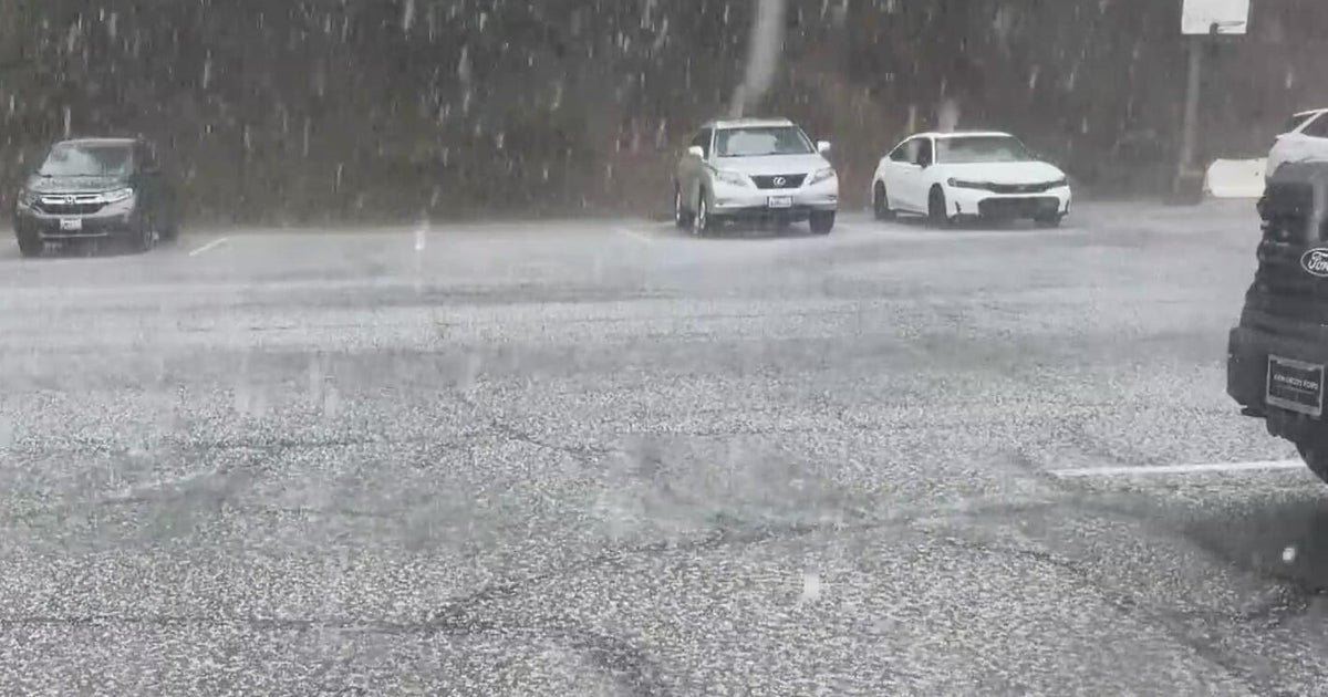 Inland Empire extreme weather for the day included hail in Crestline
October 22, 2026 / 6:05 PM PDT / CBS LA Severe weather, including hail and heavy rain, impacted the Inland Empire, prompting emergency response efforts on Thursday. Intermittent hail, rain, lightning, and wind hit the…
-
 Amber warning in place as Storm Austen hits parts of UK
An amber weather warning has come into force in parts of the UK as Storm Austen brings a swathe of powerful winds and heavy rain on Friday. South West England is forecast to be worst hit by the storm which the Met…
-
 Heavy rain warning as Storm Austen sweeps across Scotland
Scotland is braced for a wet and windy weekend as two named storms hit in two days. Storm Austen is the first to sweep across the country, with the Met Office issuing a a yellow warning for rain, external in central and…
-
 First Alert Weather: Mild afternoons before weekend local nor’easter
Here's what the First Alert Weather Team said you can expect in the forecast: This evening will be dry and clear. Tomorrow morning, temperatures will drop to the lower to mid-50s around Jacksonville and upper 60s along…
-
 Flooding rain, severe thunderstorms shift to interior West into Friday
A storm responsible for areas of rain and thunderstorms and severe weather through midweek over the Southwest will focus its efforts farther inland over the western United States into Friday. Published Oct 20, 2026…
-
 South East prepares for impact of Storm Austen
Seafront closures, cancelled events and travel disruption are expected as the first named storm of the season approaches south-east England. The Met Office has issued a yellow weather warning for wind across the region…
Sun & moon
Almanac
MonthlyTrenton, records since 1895. Normals 1991–2020. Data from NOAA's Regional Climate Centers (ACIS).
Nearby
- Chillicothe 32 km
- Brookfield 56 km
- Bethany 41 km
- Terre Haute 51 km
Forecasters' discussion
From the National Weather Service office in EAX, issued 2 hrs ago
Key Messages
- Above seasonal average temperatures continue. General cool down expected starting next Tuesday.
- Next notable chance for rain comes Monday afternoon and evening primarily across far NW MO and NE KS (10-40 percent).
Discussion
Issued at 245 PM CDT Thu Oct 22 2026
Ridging at upper levels with complimentary highs at 850mb and the surface keep the weather picture consistent for the next several days. Southerly flow at the surface continues to push warm air northward keeping temperatures above seasonal averages. NW flow aloft keeps those highs from getting to out of hand, but high temperatures are expected to remain in the upper 70s to near 80 for most.
The upper level high remains stout across the central CONUS even migrating a little northward over the next few days. This slows the movements of a trough to the east and sets up the axis of flow west of our region keeping passing storm systems to the west and north. It is not until Sunday before we expect some significant movement in the upper level pattern. A trough across mid latitudes of Canada indents the central CONUS high just enough to release the cut off low over the Rockies. This combined with another system moving on shore across the Pacific NW sets up the potential for expansive frontogenesis along a line from the northern Great Lakes through west Texas. As the Pacific NW low makes its way further inland it ushers the previous stationary low that over the Four Corners region eastward bringing with it chances for showers and storms Monday evening moreso early Tuesday morning. Probabilities for precipitation have been fairly low ranging from 10-40 percent extending from the I-35 corridor to points northwest. Models have been fairly conservative in propagating precipitation chances eastward. Even though multiple days of warm air advection would make one think that the atmosphere would be primed for convective activity, general subsidence from a low to midlevel high across the eastern seaboard expanding westward yields a fairly stable environment ahead of the low's passing. The question would be if the front is able to kinematically force ascent to develop showers and storms. Pockets of ascent are likely as upper level CVA compliments the low level kinematics of the cold front; however, there remains uncertainty how far south and east that environment propagates. If rain is able to develop and expand, PWAT vales around an inch present opportunities for isolated heavy downpours, but not as intense or expansive as we saw about a month ago.
Looking at the extended, these previously mentioned waves open up the pattern fairly significantly. The general delineation between the warmer air across the southern CONUS and cooler air across the north shifts southward opening up avenues for cooler Canadian air to beginning working its way into the region. This turns highs back down toward seasonal averages, yet still above, around 65-70 degrees (average = 62). It also adds a bit more turbulence to the pattern opening up chances for additional showers and storms late next week particularly next Saturday; although, at this time scale there is a lot that can change between now and then.
Aviation
Issued at 603 PM CDT Thu Oct 22 2026
VFR conditions continuing with increasing southerly winds after 15Z Friday.
Eax Watches
MO...None. KS...None.
Forecasts, observations and alerts in the United States come from the National Weather Service (NOAA); radar from NOAA's Multi-Radar Multi-Sensor system; satellite imagery from NASA's Global Imagery Browse Services (GIBS) and NOAA's GOES satellites; the map from the U.S. Geological Survey's National Map; air quality from AirNow (EPA and its partners); hurricane information from the National Hurricane Center; climate normals and records from NOAA's Regional Climate Centers (ACIS). Forecasts outside the United States and the UV index: MET Norway (CC BY 4.0); observations outside the U.S.: airport reports via NOAA's Aviation Weather Center. Place names: GeoNames (CC BY 4.0). Data are copied on a schedule and may lag the sources; for warnings that affect your safety, follow your local National Weather Service office and emergency officials. Weather news is drawn from the 4Conservative index and reflects what the press published. Terms of use.