Install
Bethany, MO 64424 Weather
Current conditions
Forecast for this hour (no station report in the last two hours)
Forecast
10-day-
This Afternoon
Sunny, with a high near 77. South wind around 7 mph.
-
Tonight
Mostly clear, with a low around 52. Southeast wind around 5 mph.
-
Friday
Sunny, with a high near 76. Southeast wind 5 to 12 mph, with gusts as high as 18 mph.
National Weather Service forecast updated 1 hr ago.
Hourly
Hourly forecast- Now75°
- 4 PM76°
- 5 PM74°
- 6 PM72°
- 7 PM69°
- 8 PM64°
- 9 PM62°
- 10 PM60°
- 11 PM59°
- Fri12 AM58°
- 1 AM57°
- 2 AM55°
- 3 AM55°
- 4 AM54°
- 5 AM54°
- 6 AM53°
- 7 AM52°
- 8 AM53°
- 9 AM56°
- 10 AM61°
- 11 AM66°
- 12 PM69°
- 1 PM73°
- 2 PM74°
10-day forecast
Details- TodayOct 22Sunny52°77°
- FriOct 23Sunny54°76°
- SatOct 24Mostly Sunny53°75°
- SunOct 25Partly Sunny54°77°
- MonOct 26Mostly Cloudy52°72°
- TueOct 27Mostly Cloudy11%50°66°
- WedOct 28Slight Chance Rain Showers21%48°67°
- ThuOct 29Mostly sunny37°51°
- FriOct 30Sunny32°54°
- SatOct 31Cloudy46°65°
Days after the National Weather Service's seven are MET Norway's outlook, a computer model with no forecaster's review.
Radar
Full mapWeather news in Missouri
More weather news-
 Freeze alerts stretch from Missouri to New York for Sunday
Temps drop for millions across the Central Plains, Midwest, Northeast The first real taste of fall is settling in for millions, including a few first frosts and freezes of the season for some in the Midwest and East…
-
 Saturday Evening Forecast: What Mid-Missouri Can Expect Next
Saturday evening's forecast from KRCG lays out what Mid-Missouri can expect as the weekend winds down. Forecasters break down temperatures, cloud cover,... - Saturday evening's forecast from KRCG lays out what…
-
 More vibrant fall colors are in the forecast this year in northeast Missouri
HANNIBAL (WGEM) - Fall color is just starting to show in northeast Missouri, but the Missouri Department of Conservation (MDC) expects a more vibrant season this year, with peak color still about two weeks away. MDC…
-
 Warm weather slows Missouri early antlerless deer harvest
Missouri hunters harvested 6,524 deer during the firearms Early Antlerless Portion of the deer season held Oct. 9-11, with warm weather contributing to lower totals than a year ago. The harvest figures were released by…
-
 South East prepares for impact of Storm Austen
Seafront closures, cancelled events and travel disruption are expected as the first named storm of the season approaches south-east England. The Met Office has issued a yellow weather warning for wind across the region…
-
 Super Typhoon Champi, one of the strongest storms this year, will impact Taiwan, China and Japan
Super Typhoon Champi made a close pass to Guam, tied for strongest storm of the year, and will now affect Taiwan, China and Japan. Published Oct 19, 2026 12:22 PM EDT | Updated Oct 22, 2026 12:45 PM EDT Depending on the…
-
 Josephine in Atlantic drifts away, but Pacific moisture might spoil Halloween for Texas
Subtropical Storm Josephine in the North Atlantic is racing away from the United States, while moisture from a strengthening eastern Pacific storm could bring rain to Texas around Halloween next week. Josephine's center…
-
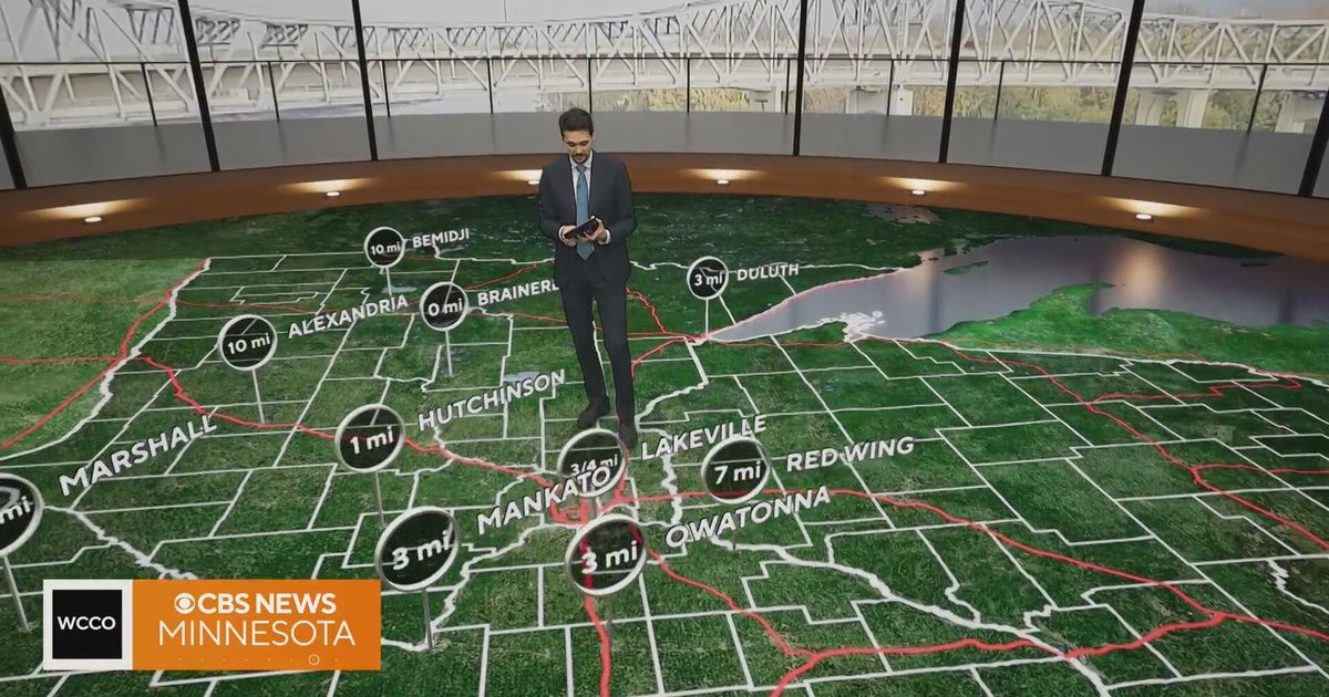 Minnesota gets 3 more days in the 70s, then a cold front cuts the weekend in half | Oct. 22, 2026
Thursday and likely Friday and Saturday all reach the mid 70s, then a cold front moves through Saturday evening and night, dropping highs into the 50s Sunday and the lower 50s Monday through Wednesday, WCCO…
-
 Hail the size of golf balls pummels parts of Arizona as rare storm moves through the West
PHOENIX — Hail the size of golf balls and damaging wind gusts pounded northern and central Arizona in a rare storm blowing through, bringing with it tornado risks and possible flash floods. The National Weather Service…
-
 Bryan Norcross: The last day for Subtropical Storm Josephine before it morphs into a non-tropical system
The system that was the non-tropical nor'easter and yesterday morphed into Subtropical Storm Josephine is forecast to remorph into a non-tropical North Atlantic system late today or tonight. Except for southeastern New…
Air quality
Acceptable. Unusually sensitive people should consider limiting prolonged outdoor exertion.
St. Joseph, MO reporting area · 2 hrs ago. Data from AirNow (EPA and its state, local and tribal partners); preliminary and subject to change.
Sun & moon
Almanac
MonthlySpickard 7 W, records since 1957. Normals 1991–2020. Data from NOAA's Regional Climate Centers (ACIS).
Nearby
Forecasters' discussion
From the National Weather Service office in EAX, issued 2 hrs ago
Key Messages
- Above normal temperatures and dry conditions are expected through the weekend.
- Next chance (20-40%) for precipitation arrives Monday night.
Discussion
Issued at 254 AM CDT Thu Oct 22 2026
Quite and mild conditions will continue today as a broad surface ridge of high pressure extending from the Great Lakes to the Ozarks will remain in control. Aloft, a upper level ridge continues to build over the central Plains in response to a upper level trough digging into the California coast. This is providing height rises across the region and will aid in highs rising into the mid 70s to near 80 despite weak mixing. Friday the upper level ridge axis will move directly over forecast area. This coupled with modest WAA developing at the surface will push highs into the mid 70s to lower 80s. Saturday, the aforementioned upper level trough will move into the Great Basin region and force an associated cold front into the Upper Midwest extending back into western Kansas. This will increase WAA over the area while the region still remains under the influence of the upper level ridge. This will keep highs in the mid 70s to lower 80s. Sunday, conditions will be similar as the upper level trough over the Great Basin slowly moves into the Eastern Rockies, and the associated cold front continue to remain to the north and west of the forecast area. While the upper level ridge axis will shift east of the area providing modest height falls, continued WAA will keep highs in the mid 70s to near 80.
As has been the model trend he past several days and is typical with closed upper level systems, the upper level trough over the eastern Rockies continues to slow its eastward progression. The closed low system finally transitions to an upper wave as it moves out into the central/northern Plains on Monday. Monday now looks to stay dry as the system slows with highs in the 70s. Monday night, the now progressive upper level trough finally moves into the eastern Plains and forces the cold front into the area bringing the next chance for precipitation. The upper level trough will move through the region Tuesday continuing shower chances and return temperatures to near normal with highs in the 60s . Surface high pressure moves into the area behind this system on Tuesday night into Wednesday with above normal highs in the mid 60s to lower 70s.
Aviation
Issued at 1236 PM CDT Thu Oct 22 2026
VFR conditions are expected for the duration of the forecast period. A few high clouds linger through the afternoon before sky cover increases through the overnight persisting through Friday. CIGs lower through the night, but no category changes are anticipated. Winds remain light generally out of the southeast before becoming light and variable overnight. Winds become southerly after sunrise and accelerate to around 8-12 knots mid morning continuing through the afternoon.
Eax Watches
MO...None. KS...None.
Forecasts, observations and alerts in the United States come from the National Weather Service (NOAA); radar from NOAA's Multi-Radar Multi-Sensor system; satellite imagery from NASA's Global Imagery Browse Services (GIBS) and NOAA's GOES satellites; the map from the U.S. Geological Survey's National Map; air quality from AirNow (EPA and its partners); hurricane information from the National Hurricane Center; climate normals and records from NOAA's Regional Climate Centers (ACIS). Forecasts outside the United States and the UV index: MET Norway (CC BY 4.0); observations outside the U.S.: airport reports via NOAA's Aviation Weather Center. Place names: GeoNames (CC BY 4.0). Data are copied on a schedule and may lag the sources; for warnings that affect your safety, follow your local National Weather Service office and emergency officials. Weather news is drawn from the 4Conservative index and reflects what the press published. Terms of use.