Install
Chicago, IL 60631 Weather
Current conditions
Observed at Chicago, Chicago-O'Hare International Airport · 24 min ago
Forecast
10-day-
Thursday
Sunny. High near 70, with temperatures falling to around 67 in the afternoon. North wind 0 to 5 mph.
-
Thursday Night
Partly cloudy, with a low around 49. East wind 0 to 5 mph.
-
Friday
Patchy fog before 9am. Mostly sunny, with a high near 70. Southeast wind 0 to 5 mph.
National Weather Service forecast updated 4 hrs ago.
Hourly
Hourly forecast- Now52°
- 9 AM57°
- 10 AM61°
- 11 AM65°
- 12 PM68°
- 1 PM70°
- 2 PM70°
- 3 PM70°
- 4 PM70°
- 5 PM67°
- 6 PM64°
- 7 PM61°
- 8 PM59°
- 9 PM58°
- 10 PM56°
- 11 PM55°
- Fri12 AM54°
- 1 AM54°
- 2 AM53°
- 3 AM52°
- 4 AM51°
- 5 AM50°
- 6 AM50°
- 7 AM49°
10-day forecast
Details- TonightOct 21Clear50°
- TodayOct 22Sunny49°70°
- FriOct 23Patchy Fog then Mostly Sunny51°70°
- SatOct 24Mostly Sunny53°69°
- SunOct 25Partly Sunny53°73°
- MonOct 26Partly Sunny10%50°66°
- TueOct 27Slight Chance Rain Showers19%47°63°
- WedOct 28Slight Chance Rain Showers then Partly Sunny16%61°
- ThuOct 29Cloudy0.09 in38°61°
- FriOct 30Sunny33°47°
Days after the National Weather Service's seven are MET Norway's outlook, a computer model with no forecaster's review.
Radar
Full mapWeather news near Chicago
More weather news-
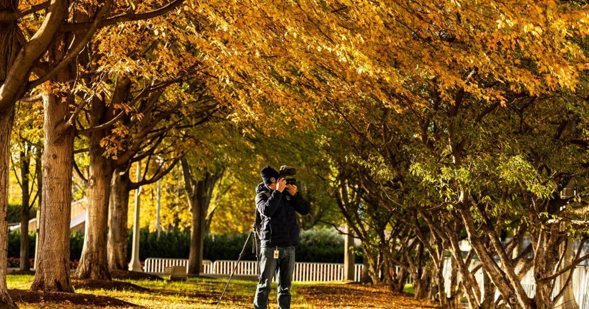 Chicago weather: Mild fall days continue before a cool-down next week
Fox Chicago Meteorologist JD Rudd breaks down tonight's weather outlook. CHICAGO - Fickle. That's the best word to describe our weather this time of year. It can change dramatically from day to day. Lucky for us, we are…
-
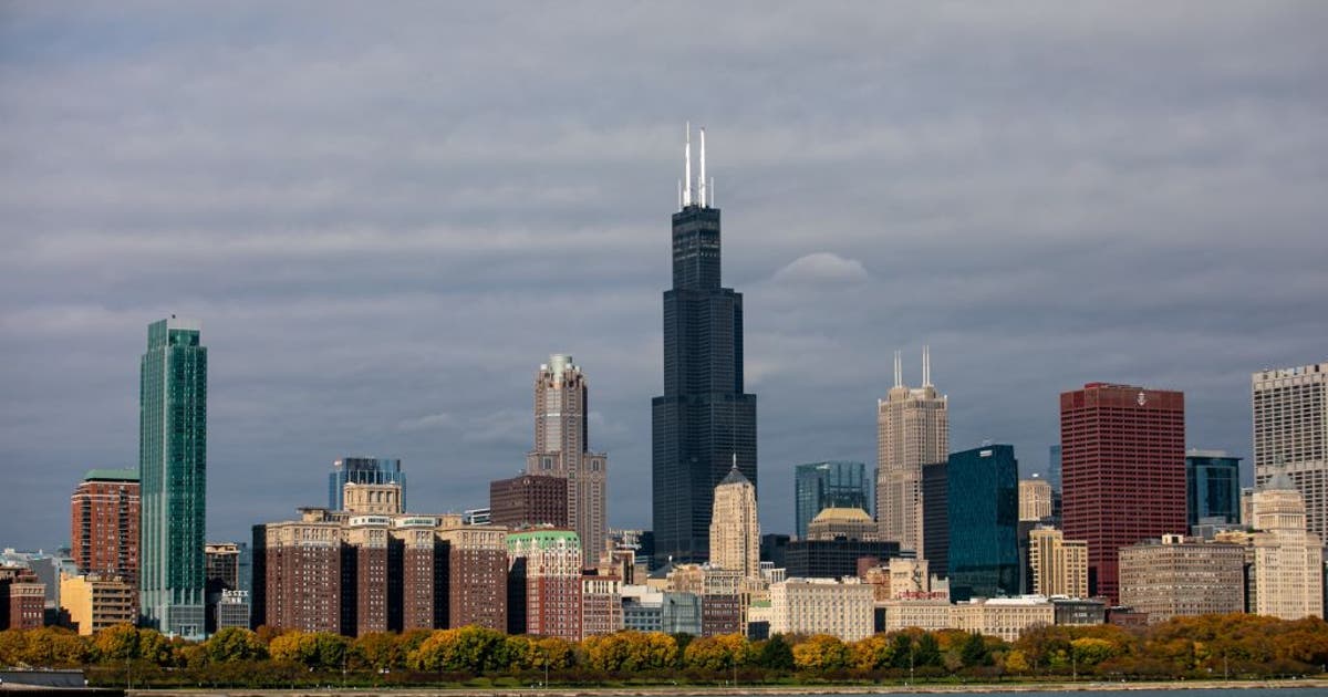 Chicago weather: Sunshine and 70s stick around through Sunday
CHICAGO - Today will be sunny with highs in the low 70s! Zero complaints from the weather department this week. Sunny skies roll on with us through the rest of the week. Thursday and Friday will both be around 70. This…
-
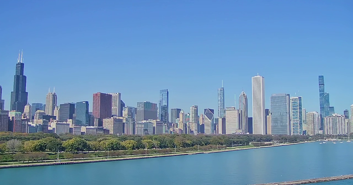 Chicago weather: Unseasonable warmth continues through weekend
Mike Caplan has your Chicago weather update! CHICAGO - The calendar may say late October, but Mother Nature has other plans, as unseasonable warmth will be in place right through the weekend. The rest of the day will be…
-
 Chicago weather: Dense fog early, then unseasonably warm temps today
Mike Caplan has your Chicago weather update! CHICAGO - Dry and warm to unseasonably-warm conditions persist through the weekend. The only bumps in the road will be some early-morning fog and a minor lake breeze each…
-
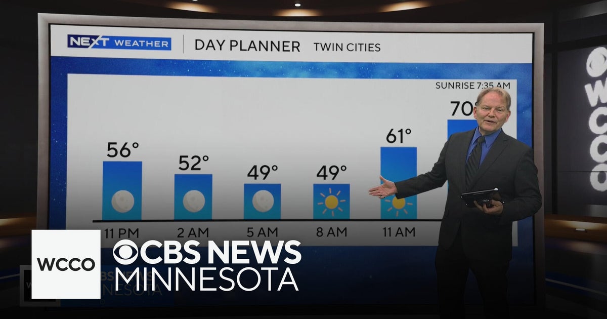 No rain in sight for Minnesota, but several days in the 70s on the way
WBZ This Morning 6am CBS News Chicago 5am CBS News Detroit 6am CBS News Miami 6am CBS News New York This Morning CBS News Philadelphia 6am KDKA-TV Morning News 6am CBS News Texas 5am
-
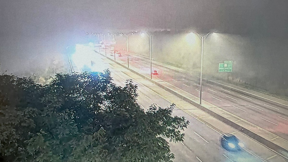 Dense fog advisory issued for parts of Chicago area with with near-zero visibility on roads
Parts of the Chicago area are under a dense fog advisory Tuesday morning, with visibility close to zero leading to dangerous driving conditions for the morning commute. The advisory, issued for Central Cook, Lake…
-
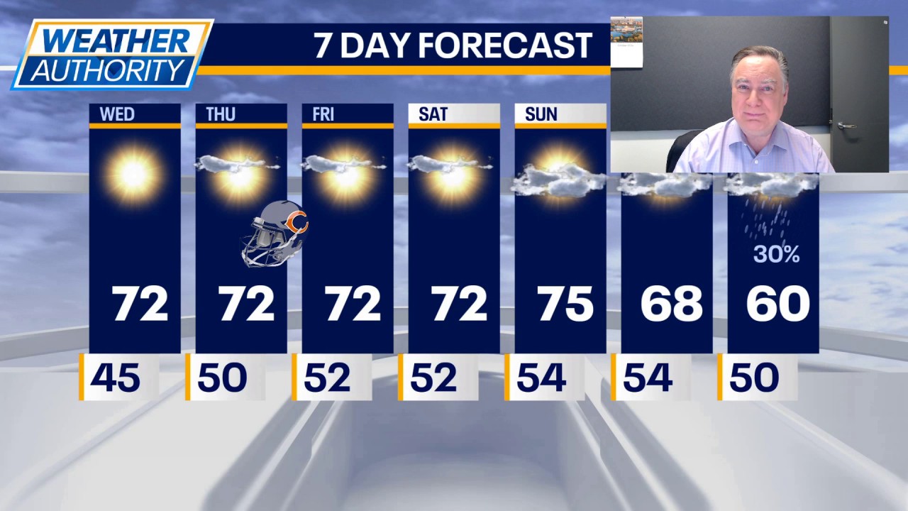 Unseasonable warmth continues through the weekend
FOX 32 Chicago Mike Caplan has your Chicago weather update!
-
 Tropical Storm Vance has formed in the Pacific Ocean
Vance was located about 520 miles south of Acapulco, Mexico, on Wednesday afternoon. The center of the cyclone was at sea and posed no threat to land. Vance was located about 520 miles south of Acapulco, Mexico. Maximum…
-
 Tropical Storm Vance forms in the Pacific as hurricane season continues
Tropical Storm Vance formed in the Pacific, marking the first V-named storm in the eastern Pacific since 2018. The system has maximum sustained winds of 40 mph and a central pressure of 1,003 mb. This comes days after…
-
 How long-range forecasters actually predict Thanksgiving travel weather — and why early route planning beats waiting
Extended meteorology does not attempt to lock down precise street-level accumulation weeks in advance. Instead, seasonal specialists track shifting jet stream patterns, moisture corridors, and historical pressure trends…
Air quality
Acceptable. Unusually sensitive people should consider limiting prolonged outdoor exertion.
Forecast
- ThuModerate
- FriModerate
Chicago, IL reporting area · 2 hrs ago. Data from AirNow (EPA and its state, local and tribal partners); preliminary and subject to change.
Sun & moon
Almanac
MonthlyChicago Area, records since 1872. Normals 1991–2020. Data from NOAA's Regional Climate Centers (ACIS).
Nearby
- Aurora 50 km
- Joliet 57 km
- Naperville 36 km
- Elgin 39 km
- Waukegan 41 km
- Cicero 17 km
- Hammond 52 km
- Gary 59 km
- Arlington Heights 18 km
- Evanston 11 km
- Schaumburg 23 km
- Bolingbrook 39 km
Forecasters' discussion
From the National Weather Service office in LOT, issued 6 hrs ago
Key Messages
- Dense fog may develop late tonight into early Friday morning across portions of northeast IL, especially the central and northern portions of the Chicago metropolitan area.
- Dry and unseasonably mild weather will continue through the upcoming weekend, though it will be slightly cooler near the lake this afternoon and again Friday afternoon.
Discussion
Issued at 150 AM CDT Thu Oct 22 2026
No significant change to our weather is expected through the weekend. One subtle difference today is that the surface high pressure over the Ohio Valley that was responsible for our very light southwesterly gradient Wednesday has moved east and has been replaced with a new high over the upper Great Lakes. This will result in a very light east or northeasterly gradient today, which should facilitate a slightly more formidable lake breeze that will spread farther inland this afternoon. This should result in temps falling a few degrees into the 60s this afternoon near the lake, however the more potentially meaningful impact from the lake breeze will be the advection of higher dewpoint marine layer inland into northeast Illinois.
Given the ideal radiational cooling set up tonight, the higher dewpoints could set the stage for areas of dense fog to develop over northeast Illinois. The area most susceptible appears to be the central and northern portions of the of Chicago metro area. Fog forecasting is always tricky, so really only medium confidence in dense fog tonight, but opted to introduce some areas of dense fog into the grids late tonight into early Friday morning.
Temperatures today will once again climb into the low to mid 70s, except in the 60s behind the lake breeze. Friday looks to be a near carbon copy of today both in terms of lake breeze and temps. This weekend, a strong trough is progged to track east across central Canada with a trailing cold front pushing east across the northern Plains toward the upper Mississippi Valley. This should result in more of southerly then southwesterly gradient, albeit still not that strong, to develop this weekend. While not strong, it will probably be enough to hamper lake breeze development and result in some slightly warmer temps advecting into the area. Temperatures over the weekend could climb into the mid to perhaps locally upper 70s on Sunday given enough sunshine.
As the strong upper ridge and omega block start breaking down, it will probably allow that cold front to move gradually southward across the area Monday as lays out east-west. There is still spread in guidance on timing of the frontal passage and given it will be running into the weakening upper ridge, it shouldn't have much push or a significant cold punch behind it. It should be enough to start cooling our temps down closer to, but possibly still slightly above, average by Tuesday and Wednesday. At some point early-middle next week, shortwave energy from the western trough could meander east into the Midwest bringing the threat for some rain to the area. Given the tendency for medium range guidance to struggle with breaking down blocking pattern, it isn't surprising that there is considerable spread in how that plays out and when/if it will rain here next week.
- Izzi
Aviation
Issued at 1154 PM CDT Wed Oct 21 2026
- Brief period of some shallow ground fog possible early this morning, primarily at RFD and GYY - There's around a 30% chance of dense fog adjacent to the lake into mainly northeast IL tonight.
Surface dewpoint depressions are generally running several degrees larger than last night at ORD, DPA, and MDW, so potential for VSBY restrictions at those terminals this morning is more more limited. Maintained TEMPOs for IFR/low end MVFR VSBY at GYY and RFD where dewpoint depressions are smaller and on pace with last night. If and where any VSBY restrictions occur early this morning, conditions would likely return to VFR by around 14z.
Calm to very light northeast winds will be the rule today, which should allow for a lake breeze to move inland. Behind this lake breeze, northeast winds of 5-9kt are likely at ORD, MDW, and GYY. An increase in moisture behind this lake breeze opens the door to a potential dense fog problem over primarily northeast IL tonight. Confidence is low, so held off on introducing anything into the TAFs now, but there is probably around 30% chance of LIFR/VLIFR conditions into ORD, MDW, and possibly GYY and DPA.
- Izzi
Lot Watches
IL...None. IN...None. LM...None.
Forecasts, observations and alerts in the United States come from the National Weather Service (NOAA); radar from NOAA's Multi-Radar Multi-Sensor system; satellite imagery from NASA's Global Imagery Browse Services (GIBS) and NOAA's GOES satellites; the map from the U.S. Geological Survey's National Map; air quality from AirNow (EPA and its partners); hurricane information from the National Hurricane Center; climate normals and records from NOAA's Regional Climate Centers (ACIS). Forecasts outside the United States and the UV index: MET Norway (CC BY 4.0); observations outside the U.S.: airport reports via NOAA's Aviation Weather Center. Place names: GeoNames (CC BY 4.0). Data are copied on a schedule and may lag the sources; for warnings that affect your safety, follow your local National Weather Service office and emergency officials. Weather news is drawn from the 4Conservative index and reflects what the press published. Terms of use.