Install
Chicago Heights, IL 60412 Weather
Current conditions
Observed at Lansing Municipal Airport · 46 min ago
Forecast
10-day-
Tonight
Mostly clear, with a low around 42. Southeast wind 0 to 5 mph.
-
Wednesday
Sunny. High near 72, with temperatures falling to around 69 in the afternoon. West southwest wind around 0 mph.
-
Wednesday Night
Mostly clear, with a low around 48. North northeast wind around 0 mph.
National Weather Service forecast updated 8 hrs ago.
Hourly
Hourly forecast- Now49°
- Wed12 AM47°
- 1 AM46°
- 2 AM45°
- 3 AM44°
- 4 AM44°
- 5 AM43°
- 6 AM42°
- 7 AM42°
- 8 AM45°
- 9 AM51°
- 10 AM57°
- 11 AM62°
- 12 PM66°
- 1 PM70°
- 2 PM71°
- 3 PM71°
- 4 PM71°
- 5 PM69°
- 6 PM65°
- 7 PM61°
- 8 PM58°
- 9 PM56°
- 10 PM55°
10-day forecast
Details- TonightOct 20Mostly Clear42°
- WedOct 21Sunny48°72°
- ThuOct 22Sunny47°72°
- FriOct 23Sunny48°70°
- SatOct 24Mostly Sunny52°72°
- SunOct 25Partly Sunny53°74°
- MonOct 26Partly Sunny13%49°67°
- TueOct 27Mostly Sunny13%60°
- WedOct 28Mostly sunny38°51°
- ThuOct 29Cloudy34°53°
Days after the National Weather Service's seven are MET Norway's outlook, a computer model with no forecaster's review.
Radar
Full mapWeather news near Chicago Heights
More weather news-
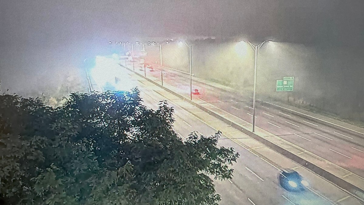 Dense fog advisory issued for parts of Chicago area with with near-zero visibility on roads
Parts of the Chicago area are under a dense fog advisory Tuesday morning, with visibility close to zero leading to dangerous driving conditions for the morning commute. The advisory, issued for Central Cook, Lake…
-
 Chicago weather: Dense fog early, then unseasonably warm temps today
Mike Caplan has your Chicago weather update! CHICAGO - Dry and warm to unseasonably-warm conditions persist through the weekend. The only bumps in the road will be some early-morning fog and a minor lake breeze each…
-
 Chicago weather: Unseasonably warm temperatures stick around all week
Emily Wahls has your weather update! CHICAGO - It was another day with above normal temperatures and plenty of sunshine. Monday's high temperatures soared into the upper 60s to near 70 degrees. Tonight will be mostly…
-
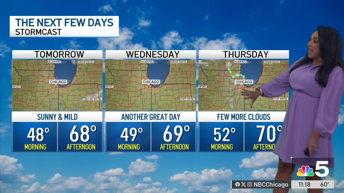 Monday afternoon forecast for Chicago area
NBC 5 Chicago Monday afternoon forecast for Chicago area
- Chicago, IL Tonight: Coldest Air Arrives Before Tuesday Oct 20
Chicago, IL – Residents heading outdoors late Monday night and early Tuesday morning should prepare for a chilly start as temperatures across the Chicago area drop into the low to mid-40s overnight, despite an unusually…
-
 Thanksgiving travel delays: Where weather risk is highest this year
Travelers wait in line at a security checkpoint in Terminal 3 at O'Hare International airport on November 30, 2025 in Chicago, Illinois. (Jim Vondruska via Getty Images) Millions will travel for Thanksgiving this year —…
-
 Chicago weather: Above-normal temps expected through October
Mike Caplan has your Chicago weather update! CHICAGO - It’s smooth sailing weather-wise this week and likely for the rest of the month. There will be little if any cloud cover and temperatures will be well above normal…
-
 Great weather in North Texas this week
CBS News Baltimore 8am CBS News Boston 8am CBS News Chicago 7am CBS News Colorado This Morning 6am CBS News Los Angeles Mornings 5am CBS News Miami 8am CBS News New York 8am CBS News Texas 7am
-
 More sunny, mild late October weather in Minnesota | Oct. 20, 2026
CBS News Baltimore 8am CBS News Boston 8am CBS News Chicago 7am CBS News Colorado This Morning 6am CBS News Los Angeles Mornings 5am CBS News Miami 8am CBS News New York 8am CBS News Texas 7am
-
 Waterspouts possible off Southern California amid stormy weather
Southern California's stormy forecast includes a chance of isolated waterspouts offshore. They may look like tornadoes, but they're not. Our latest explainer breaks down what waterspouts are, how they form over the…
Air quality
Acceptable. Unusually sensitive people should consider limiting prolonged outdoor exertion.
Forecast
- TueModerate
- WedModerate
Hammond-Gary, IN reporting area · 1 hr ago. Data from AirNow (EPA and its state, local and tribal partners); preliminary and subject to change.
Sun & moon
Almanac
MonthlyChicago Midway Ap, records since 1928. Normals 1991–2020. Data from NOAA's Regional Climate Centers (ACIS).
Nearby
- Chicago 38 km
- Joliet 37 km
- Naperville 53 km
- Cicero 39 km
- Hammond 14 km
- Gary 26 km
- Evanston 60 km
- Bolingbrook 42 km
- Skokie 59 km
- Orland Park 23 km
- Tinley Park 14 km
- Oak Lawn 25 km
Forecasters' discussion
From the National Weather Service office in LOT, issued 4 hrs ago
Key Messages
- Areas of fog, including potentially dense fog, may develop again late tonight into early Wednesday morning in and near the Chicago metro.
- An extended period of dry and above to much above average temperatures is expected through the upcoming weekend.
Discussion
Issued at 226 PM CDT Tue Oct 20 2026
An Omega block that is in place over the CONUS is expected to persist through the end of the week. The associated ridge axis will only ever so slowly crawl eastward over the coming days, which will maintain broad surface high pressure across the region. As a result, dry conditions with an abundance of sunshine will continue through the remainder of the week with high temperatures remaining above to well above normal for this time of year. Daily lake breezes will cause the coolest (low- mid 60s) high temperatures to be observed near Lake Michigan each day.
Much like last night/early this morning, optimal radiational cooling conditions will likely allow for fog to develop late tonight into tomorrow morning and possibly again in the coming nights/mornings. This will particularly be the case in and near the Chicago metro within the footprint of the marine-influenced air brought inland during the daytime, where the fog could become dense once again.
There is pretty good ensemble agreement at this point in time that the blocking pattern will break down by early next week. This will allow for a cold front to drop through the region sometime on Monday or Tuesday, resulting in a return to cooler and more seasonable temperatures for the middle of next week. The frontal passage may bring a chance for precipitation to the area early-mid next week, but support for this across the latest suite of ensemble guidance is not ubiquitous, and there are considerable temporal differences with when this next potential opportunity for precipitation may arrive as well.
Ogorek
Aviation
Issued at 624 PM CDT Tue Oct 20 2026
Key messages for the 00Z TAF period:
* Dense fog possible late tonight into early Wednesday, primarily at Chicago sites
Light easterlies this evening will go variable overnight and settle at SW by Wednesday morning. A lake breeze will flip winds to E in Chicago during the late afternoon while remaining light.
Fog is anticipated to develop late tonight west of the lakeshore, similar to this morning. A period of dense fog with LIFR visibilities will be possible, especially at the Chicago sites. Fog is not expected at RFD and may leave DPA and GYY largely alone. The fog may persist for a couple of hours past dawn before fully burning off. More SKC is then expected after early morning.
Doom
Lot Watches
IL...None. IN...None. LM...None.
Forecasts, observations and alerts in the United States come from the National Weather Service (NOAA); radar from NOAA's Multi-Radar Multi-Sensor system; satellite imagery from NASA's Global Imagery Browse Services (GIBS) and NOAA's GOES satellites; the map from the U.S. Geological Survey's National Map; air quality from AirNow (EPA and its partners); hurricane information from the National Hurricane Center; climate normals and records from NOAA's Regional Climate Centers (ACIS). Forecasts outside the United States and the UV index: MET Norway (CC BY 4.0); observations outside the U.S.: airport reports via NOAA's Aviation Weather Center. Place names: GeoNames (CC BY 4.0). Data are copied on a schedule and may lag the sources; for warnings that affect your safety, follow your local National Weather Service office and emergency officials. Weather news is drawn from the 4Conservative index and reflects what the press published. Terms of use.