Install
Belgrade, MT 59714 Weather
Current conditions
Forecast for this hour (no station report in the last two hours)
Forecast
10-day-
Today
Mostly sunny, with a high near 64. Northwest wind around 2 mph.
-
Tonight
Mostly clear, with a low around 34. South southeast wind 0 to 6 mph.
-
Wednesday
Sunny, with a high near 66. West wind around 3 mph.
National Weather Service forecast updated 4 hrs ago.
Hourly
Hourly forecast- Now61°
- 3 PM63°
- 4 PM64°
- 5 PM63°
- 6 PM60°
- 7 PM57°
- 8 PM50°
- 9 PM47°
- 10 PM45°
- 11 PM43°
- Wed12 AM42°
- 1 AM41°
- 2 AM39°
- 3 AM37°
- 4 AM37°
- 5 AM36°
- 6 AM36°
- 7 AM36°
- 8 AM34°
- 9 AM38°
- 10 AM46°
- 11 AM52°
- 12 PM56°
- 1 PM61°
10-day forecast
Details- TodayOct 20Mostly Sunny34°64°
- WedOct 21Sunny38°66°
- ThuOct 22Sunny67%39°70°
- FriOct 23Rain100%26°50°
- SatOct 24Mostly Sunny25°48°
- SunOct 25Mostly Sunny13%25°52°
- MonOct 26Mostly Sunny16%26°51°
- TueOct 27Sunny31°50°
- WedOct 28Partly cloudy30°49°
- ThuOct 29Cloudy29°44°
Days after the National Weather Service's seven are MET Norway's outlook, a computer model with no forecaster's review.
Radar
Full mapWeather news in Montana
More weather news-
 Warming trend brings highs back into the 70s in some of Montana
Nonstop Local News Montana El Niño winter conditions ahead include drier and warmer than normal outlooks for Montana This pattern can bring dry, warm weather to the north and stormy, wet, cool weather to the southern…
-
 Gusty winds expected on Saturday in western Montana
KPAX News Gusty winds expected on Saturday in western Montana A mid-level jet streak will move over northern Montana on Saturday. This will bring stornger winds back to the area, with 30-40 MPH maximum gusts possible…
-
 Wind and temperatures on the rise for the weekend in Montana
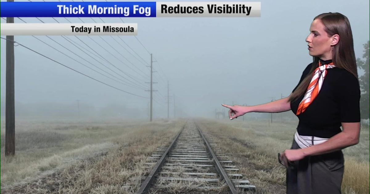
Nonstop Local News Montana Today, we saw dense fog in western valleys this morning This yielded to widespread sunshine in the afternoon across the region Highs reached the 50s in most major areas, which is normal for…
-
 [VIDEOS] Skiers Score Early-Season Powder in Montana After October Storm
Montana skiers didn’t wait for the chairlifts. On Monday, October 12, skiers and riders hiked for fresh turns at Showdown and Bridger Bowl after a weekend Montana snowstorm buried parts of the state. Nearby SNOTEL sites…
-
 Snow cover across parts of Montana
5-minute CONUS Sector GOES-19 (GOES-East) Day Snow-Fog RGB images (above) displayed the signature of snow cover (shades of red) across parts of Montana on 13 October 2026. This was remnant snow cover that fell 2 days…
Sun & moon
Almanac
MonthlyBozeman Montana State University, records since 1892. Normals 1991–2020. Data from NOAA's Regional Climate Centers (ACIS).
Nearby
- Bozeman 14 km
- Livingston 47 km
- Four Corners 14 km
- Big Sky 58 km
Forecasters' discussion
From the National Weather Service office in TFX, issued 9 hrs ago
Key Messages
- Temperatures will be a roller coaster over the next several days with a mid-week warmup followed by another drop to near or slightly below seasonal averages for the weekend.
- Rain and Mountain snow will overspread the region Friday into Saturday bringing healthy liquid precipitation to lower elevations and accumulating snowfall above 4kft.
- Gusty winds develop across the area Friday afternoon into early Saturday morning. Highest gusts will be across Central MT and the Hi-Line.
Discussion
/Issued 1234 AM MDT Tue Oct 20 2026/
- Meteorological Overview:
Weak zonal flow aloft across North-Montana and weak southerly flow over SW Montana will keep conditions relatively quiet on Tuesday, with temperatures cooling to near-seasonal averages. Isolated, light showers remain possible near the Idaho border, but dry conditions will prevail everywhere else.
On Wednesday, an upper-level low settles along the California coast, increasing our southwesterly flow aloft over SW Montana while zonal flow persists across North-Central MT. Strengthened warm air advection with the southwesterly regime will rebound high temperatures back to well above seasonal averages. Mostly dry conditions will continue across the plains, though weak moisture advection supports a low chance for a shower or two along the ID/MT border.
An active synoptic pattern arrives late in the week, as the pacific low pressure eject inland, and begins to phase with the digging trough emerging out of Canada. A weak cold front will pass through the region Thursday night into Friday morning, helping initiate widespread precipitation that persists through early Saturday. This system will be fairly heavy in moisture with high confidence in a large area seeing over 0.5" of liquid precipitation. An axis of heavier amounts is likely across Southwest and Central Montana where areas could see over 1" of QPF. Precipitation will begin with high snow level Thursday night (Above 6kft). During the heaviest period of precip on Friday morning, diabatic and dynamic cooling will help pull levels down towards 5kft, transitioning much of the mountain ran to accumulation snow. As the primary deformation axis and moisture depart Friday night into Saturday, additional cold air advects in lowering snow levels below 4kft. However, mid-level drying will quick cut off precipitation rates, limiting low- elevation accumulation potential. Simultaneously, a tightening surface pressure gradient and increasing low-level lapse rates will help tap the stronger 700mb flow on Friday bringing gusty winds across the region.
- Forecast Confidence & Scenarios: Confidence is moderate to high regarding elevated post-frontal winds on Friday. The probability for gusts reaching or exceeding 45mph is 40-60% across the Hi-Line and central Plains, across the RMF and central Island ranges that rises up to 50-70%.
Aviation
20/12Z TAF Period
VFR conditions will prevail at all terminals during this TAF Period with light and variable winds and high-level clouds around. -IG
Preliminary Point Temps
GTF 57 36 71 44 / 0 0 0 0 CTB 56 30 66 38 / 0 0 0 0 HLN 62 34 66 40 / 0 0 0 0 BZN 63 33 65 37 / 0 0 0 0 WYS 59 27 60 28 / 10 10 10 10 DLN 63 35 64 37 / 0 0 10 0 HVR 61 32 68 37 / 0 0 0 0 LWT 58 34 70 44 / 0 0 0 0
Forecasts, observations and alerts in the United States come from the National Weather Service (NOAA); radar from NOAA's Multi-Radar Multi-Sensor system; satellite imagery from NASA's Global Imagery Browse Services (GIBS) and NOAA's GOES satellites; the map from the U.S. Geological Survey's National Map; air quality from AirNow (EPA and its partners); hurricane information from the National Hurricane Center; climate normals and records from NOAA's Regional Climate Centers (ACIS). Forecasts outside the United States and the UV index: MET Norway (CC BY 4.0); observations outside the U.S.: airport reports via NOAA's Aviation Weather Center. Place names: GeoNames (CC BY 4.0). Data are copied on a schedule and may lag the sources; for warnings that affect your safety, follow your local National Weather Service office and emergency officials. Weather news is drawn from the 4Conservative index and reflects what the press published. Terms of use.