Install
Tioga, ND 58852 Weather
Current conditions
Observed at Williston Basin International Airport · 1 hr ago
Forecast
10-day-
Overnight
Mostly clear. Low around 31, with temperatures rising to around 33 overnight. Northeast wind around 3 mph.
-
Wednesday
Sunny. High near 62, with temperatures falling to around 60 in the afternoon. Southeast wind 2 to 16 mph, with gusts as high as 25 mph.
-
Wednesday Night
Mostly clear. Low around 41, with temperatures rising to around 45 overnight. Southeast wind 13 to 16 mph, with gusts as high as 26 mph.
National Weather Service forecast updated 2 hrs ago.
Hourly
Hourly forecast- Now35°
- 5 AM34°
- 6 AM32°
- 7 AM31°
- 8 AM32°
- 9 AM33°
- 10 AM40°
- 11 AM46°
- 12 PM50°
- 1 PM55°
- 2 PM58°
- 3 PM60°
- 4 PM61°
- 5 PM62°
- 6 PM60°
- 7 PM57°
- 8 PM54°
- 9 PM50°
- 10 PM49°
- 11 PM49°
- Thu12 AM49°
- 1 AM49°
- 2 AM48°
- 3 AM47°
10-day forecast
Details- TonightOct 20Mostly Clear31°
- TodayOct 21Sunny41°62°
- ThuOct 22Sunny48°72°
- FriOct 23Partly Sunny49%34°73°
- SatOct 24Chance Rain Showers then Mostly Sunny29%23°45°
- SunOct 25Mostly Sunny22°41°
- MonOct 26Partly Sunny23°42°
- TueOct 27Partly Sunny13%47°
- WedOct 28Sunny29°49°
- ThuOct 29Cloudy29°43°
Days after the National Weather Service's seven are MET Norway's outlook, a computer model with no forecaster's review.
Radar
Full mapWeather news near Tioga
More weather news-
 Sonora, Tioga passes to close due to incoming storm
KOLO | 8 News Now MONO COUNTY, California (KOLO) - Sonora and Tioga passes in Mono County are set to close due to an incoming storm. Caltrans says the passes will close on Wednesday due to a storm that is expected to…
- Winter weather advisory for California for Wednesday and Thursday
The NWS Hanford CA released a winter weather advisory at 12:51 p.m. on Tuesday valid from Wednesday 11 a.m. until Thursday 11 a.m. The advisory is for Yosemite, Upper San Joaquin River, Kaiser to Rodgers Ridge, Kings…
-
 Fall temperatures trending warmer in North Dakota, meteorologist says overnight lows show biggest climb
Fall seasons in western and central North Dakota are getting warmer, and local meteorologists say the records prove it. BISMARCK, N.D. (KFYR) - Fall seasons in western and central North Dakota are getting warmer, and…
-
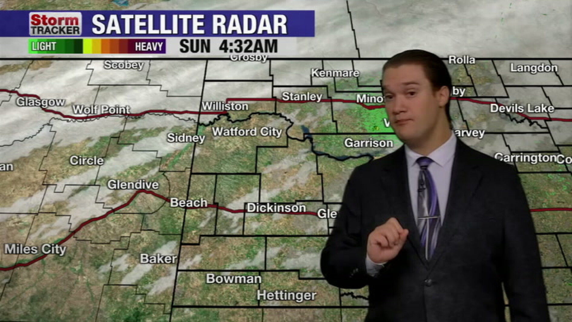 Mild fall weather continues across western North Dakota, even with a slight cool-down today
McKenzie County Farmer Mild fall weather continues across western North Dakota, even with a slight cool-down today
-
 Fall temperatures trending warmer in North Dakota
KFYR-TV Fall temperatures trending warmer in North Dakota Autumn Fest Parade brings music to downtown Bismarck, capitol grounds Hundreds welcome veterans home from Western ND Honor flight ND Today: Designer Genes: Walk…
- North Dakota Weather Today: 30 MPH Gusts Before 70° Sunday Oct 18
Grand Forks, ND – Residents across eastern North Dakota and northwestern Minnesota can expect an unusually pleasant stretch of fall weather this weekend, October 17-18, with sunshine, breezy conditions and temperatures…
-
 North Dakota Department of Transportation Says All Hay Bales Must Be Off Highway Rights Of Way By End Of October
knoxradio (KNOX) – The North Dakota Department of Transportation says that hay bales must be removed from highway rights of way before the end of the month. State law requires hay bales to be out of all ditches by…
Sun & moon
Nearby
Forecasters' discussion
From the National Weather Service office in BIS, issued 35 min ago
Key Messages
- Above normal temperatures through the work week, with near record highs possible Thursday and Friday.
- Much cooler temperatures this weekend and into early next week.
- Dry conditions through Thursday, then low to medium chances for showers Friday into Saturday.
- Breezy to windy Friday and Saturday.
Discussion
Issued at 326 AM CDT Wed Oct 21 2026
Currently, mostly clear skies across western and central North Dakota. A weak, dry cold front has pushed through all but the far southeast portion of the state. Temperatures behind the front were in the lower 30s to mid 40s. A few areas of patchy fog were noted where temperature/dew point spread were close.
For today, high pressure slides east across the state. Generally light winds from the north will shift east to southeast through the day. Western ND will see some stronger southeast winds (around 15-20 mph) mid to late afternoon. Highs today will be just a bit cooler than Tuesday for most areas, but still well above normal. Lows tonight will range from the mid 30s to mid 40s.
Thursday and Friday will see the warmest temperatures of the week. Highs each day will range from the mid 70s to lower 80s, with warmest temperatures each day in the southwest. We utilized a blend of NBM and NBM90 for today through Friday. Today was a 50/50 blend with Thursday and Friday each leaning towards the warmer NBM90 temperatures. Near record, to record highs will be possible, especially southwest and south central.
An upper level trough lifts into the Region Friday into Saturday. This will bring an increasing southerly surface flow to western and central ND Friday, with a strong west to northwest surface flow on Saturday.
Friday afternoon and evening will see mainly low chances for showers and possibly an isolated thunderstorm. Moderate to strong shear lifts through the forecast area with some elevated CAPE, as high as around 600 J/kg over western ND around 00Z Saturday. With the warm temperatures expected. Low level CIN will remain and will be hard to overcome. The highest precipitation chances will be Friday night as wrap around moisture lifts through the northwest portion of the state behind the surface low that lifts northward into southern Canada. Much cooler air will also spread into the State on Saturday, ushered in by the strong west to northwest winds. After highs in the 70s and lower 80s Friday. Highs Saturday are forecast to range from the mid 40s northwest to the upper 50s over the southern James River Valley.
Aviation
Issued at 1157 PM CDT Tue Oct 20 2026
VFR conditions are expected through the 06Z TAF period. Cold front has made it through all TAF sites and most of ND as of 06 UTC. Expect light northerly over night the winds will shift east then southeast during the day, remaining 12 knots or less most areas. The far southwest could see southeast winds up to around 16 knots this afternoon. Surface flow remains southeast, mainly 5 to 15 knots tonight. Only some scattered mid and high clouds expected through the period.
Bis Watches
None.
Forecasts, observations and alerts in the United States come from the National Weather Service (NOAA); radar from NOAA's Multi-Radar Multi-Sensor system; satellite imagery from NASA's Global Imagery Browse Services (GIBS) and NOAA's GOES satellites; the map from the U.S. Geological Survey's National Map; air quality from AirNow (EPA and its partners); hurricane information from the National Hurricane Center; climate normals and records from NOAA's Regional Climate Centers (ACIS). Forecasts outside the United States and the UV index: MET Norway (CC BY 4.0); observations outside the U.S.: airport reports via NOAA's Aviation Weather Center. Place names: GeoNames (CC BY 4.0). Data are copied on a schedule and may lag the sources; for warnings that affect your safety, follow your local National Weather Service office and emergency officials. Weather news is drawn from the 4Conservative index and reflects what the press published. Terms of use.