Install
Stanley, ND 58784 Weather
Current conditions
Observed at Stanley Municipal Airport · 1 hr ago
Forecast
10-day-
This Afternoon
Sunny, with a high near 63. Northwest wind 0 to 7 mph.
-
Tonight
Mostly clear. Low around 33, with temperatures rising to around 36 overnight. North wind 5 to 9 mph.
-
Wednesday
Sunny. High near 60, with temperatures falling to around 58 in the afternoon. East wind 3 to 12 mph, with gusts as high as 21 mph.
National Weather Service forecast updated 2 hrs ago.
Hourly
Hourly forecast- Now50°
- 1 PM54°
- 2 PM58°
- 3 PM64°
- 4 PM65°
- 5 PM64°
- 6 PM62°
- 7 PM57°
- 8 PM50°
- 9 PM48°
- 10 PM46°
- 11 PM45°
- Wed12 AM43°
- 1 AM42°
- 2 AM40°
- 3 AM39°
- 4 AM36°
- 5 AM36°
- 6 AM34°
- 7 AM34°
- 8 AM33°
- 9 AM35°
- 10 AM41°
- 11 AM46°
10-day forecast
Details- TodayOct 20Sunny33°63°
- WedOct 21Sunny42°60°
- ThuOct 22Sunny49°67°
- FriOct 23Slight Chance Rain Showers30%37°68°
- SatOct 24Chance Rain Showers30%25°47°
- SunOct 25Mostly Sunny24°44°
- MonOct 26Partly Sunny13%26°42°
- TueOct 27Sunny31°50°
- WedOct 28Sunny27°45°
- ThuOct 29Sunny25°38°
Days after the National Weather Service's seven are MET Norway's outlook, a computer model with no forecaster's review.
Radar
Full mapWeather news in North Dakota
More weather news-
 Fall temperatures trending warmer in North Dakota, meteorologist says overnight lows show biggest climb
Fall seasons in western and central North Dakota are getting warmer, and local meteorologists say the records prove it. BISMARCK, N.D. (KFYR) - Fall seasons in western and central North Dakota are getting warmer, and…
-
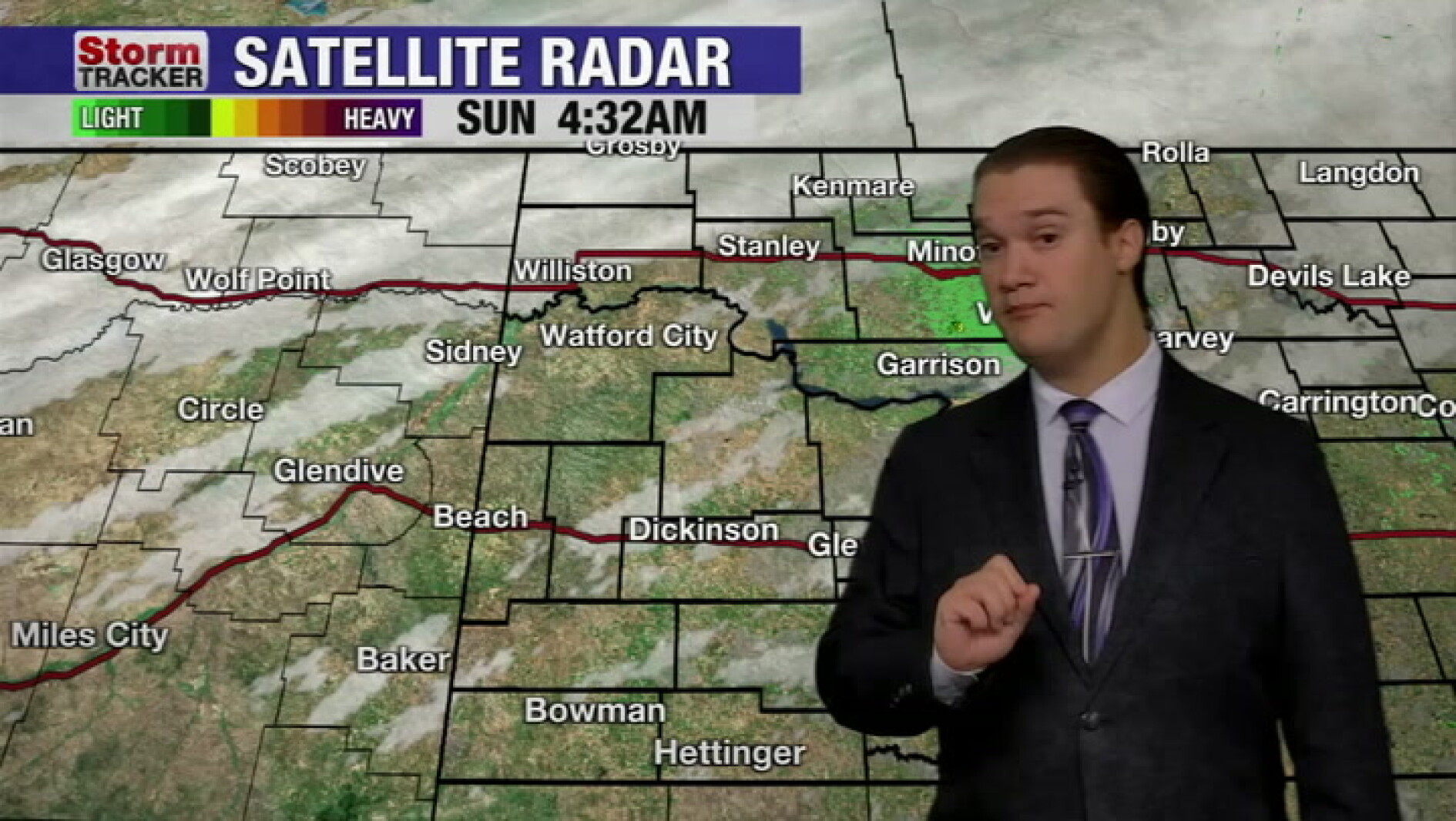 Mild fall weather continues across western North Dakota, even with a slight cool-down today
McKenzie County Farmer Mild fall weather continues across western North Dakota, even with a slight cool-down today
-
 Fall temperatures trending warmer in North Dakota
KFYR-TV Fall temperatures trending warmer in North Dakota Autumn Fest Parade brings music to downtown Bismarck, capitol grounds Hundreds welcome veterans home from Western ND Honor flight ND Today: Designer Genes: Walk…
- North Dakota Weather Today: 30 MPH Gusts Before 70° Sunday Oct 18
Grand Forks, ND – Residents across eastern North Dakota and northwestern Minnesota can expect an unusually pleasant stretch of fall weather this weekend, October 17-18, with sunshine, breezy conditions and temperatures…
-
 North Dakota Department of Transportation Says All Hay Bales Must Be Off Highway Rights Of Way By End Of October
knoxradio (KNOX) – The North Dakota Department of Transportation says that hay bales must be removed from highway rights of way before the end of the month. State law requires hay bales to be out of all ditches by…
Sun & moon
Almanac
MonthlyLostwood North Dakota, records since 1997. Normals 1991–2020. Data from NOAA's Regional Climate Centers (ACIS).
Nearby
- New Town 41 km
Forecasters' discussion
From the National Weather Service office in BIS, issued 6 hrs ago
Key Messages
- Above normal temperatures are forecast through the work week, then much cooler temperatures this weekend.
- Dry conditions through Thursday, then low to medium chances for showers Friday into Saturday.
- Breezy to windy Friday and Saturday.
Update
Issued at 610 AM CDT Tue Oct 20 2026
Mostly clear and quiet this Tuesday morning. No updates needed at this time.
Discussion
Issued at 400 AM CDT Tue Oct 20 2026
Currently skies were mostly clear across western and central ND with a light southerly surface flow and temperatures in the upper 30s to mid 40s.
A quasi-zonal upper level flow will persist over the local area today. A weak, dry cold front will propagate through the upper flow turning our southerly winds this morning to a northerly surface flow, from west to east with the frontal passage. Even with the cold front passage, temperatures are forecast to be similar (northwest ND) or warmer (southwest and central) than yesterday. We did utilize a blend of NBM and NBM90 guidance to trend temperatures warmer. NBM ensemble guidance has been around 3 to 7 degrees warmer than our observed temperatures since late last week.
Wednesday through Friday upper level ridging builds over the central portion of the U.S. ahead of an upper level trough developing in the eastern Pacific. Wednesday is forecast to be a little cooler than today as high pressure builds over the area behind the cold front passage, but a southerly return flow is already developing over western ND by Wednesday afternoon. This will set the stage for a couple of unseasonably warm days on Thursday and Friday. As mentioned in the previous discussion, normal highs for this time of year are in the low to mid 50s, so temperatures will be approaching 20 degrees above normal. If our current trend of cooler than observed forecast high temperatures continues, which I suspect it may, Bismarck and Dickinson could see near record highs Thursday and Friday.
On Friday, the aforementioned upper trough over the eastern Pacific lifts into the Northern Rockies, with a surface low over eastern Montana/western North Dakota by 00Z Saturday. With a surge of warm advection ahead of the surface low, and with strong shear lifting into the area, an isolated elevated thunderstorm can not be ruled out on Friday. The CSU machine learning page indicated a threat for thunder on Friday. We'll see how this trends through the week. Friday night into Saturday as the surface low lifts north into Canada, we see a surge of cold advection. Breezy southerly winds Friday shift west to northwest Friday night, with breezy to windy conditions expected Friday night, and Saturday as the upper level system winds up to our north. At this time it looks like mainly light precipitation amounts from low to medium precipitation chances in North Dakota. The better precipitation amounts currently track from central Montana, northeast through Saskatchewan and into northern Manitoba. We could see low chance for showers on Friday then possibly some wrap around precipitation clipping the northwest Friday night.
Given the warm temperatures and breezy conditions Friday, will need to monitor fire weather concerns. Currently the return of moisture with dew point temperatures climbing into the mid 50s is keeping minimum humidities above 30 percent over southwest ND, with sustained southerly winds around 20 to 25 mph. Would not be surprised to see some lower minRH values in the southwest Friday afternoon as short range guidance extends into Friday. Saturday will also be breezy to windy, but with much cooler temperatures. However, being in the dry sector of the system over Canada, we could see windy conditions combined with low afternoon humidities.
Aviation
Issued at 610 AM CDT Tue Oct 20 2026
VFR conditions are expected through the 12Z TAF period. Light surface winds early this morning remain light southerly ahead of an approaching weak dry cold front. Winds turn northerly behind the cold front 5-10 mph from west to east today into early evening, then diminish this evening. Only some mid and high VFR clouds expected through the TAF period.
Forecasts, observations and alerts in the United States come from the National Weather Service (NOAA); radar from NOAA's Multi-Radar Multi-Sensor system; satellite imagery from NASA's Global Imagery Browse Services (GIBS) and NOAA's GOES satellites; the map from the U.S. Geological Survey's National Map; air quality from AirNow (EPA and its partners); hurricane information from the National Hurricane Center; climate normals and records from NOAA's Regional Climate Centers (ACIS). Forecasts outside the United States and the UV index: MET Norway (CC BY 4.0); observations outside the U.S.: airport reports via NOAA's Aviation Weather Center. Place names: GeoNames (CC BY 4.0). Data are copied on a schedule and may lag the sources; for warnings that affect your safety, follow your local National Weather Service office and emergency officials. Weather news is drawn from the 4Conservative index and reflects what the press published. Terms of use.