Install
Sioux Falls, SD 57197 Weather
Current conditions
Forecast for this hour (no station report in the last two hours)
Forecast
10-day-
Tonight
A slight chance of rain showers after 5am. Partly cloudy, with a low around 58. South southeast wind 10 to 15 mph, with gusts as high as 25 mph. Chance of precipitation is 20%.
-
Friday
A slight chance of rain showers before 7am, then a chance of showers and thunderstorms between 7am and 8am, then a slight chance of showers and thunderstorms between 8am and 11am. Mostly sunny. High near 77, with temperatures falling to around 74 in the afternoon. South southeast wind 15 to 25 mph, with gusts as high as 45 mph. Chance of precipitation is 30%.
-
Friday Night
A chance of rain showers after 1am. Mostly cloudy, with a low around 60. South wind 15 to 25 mph, with gusts as high as 40 mph. Chance of precipitation is 40%.
National Weather Service forecast updated 3 hrs ago.
Hourly
Hourly forecast- Now73°
- 7 PM69°
- 8 PM66°
- 9 PM65°
- 10 PM64°
- 11 PM63°
- Fri12 AM62°
- 1 AM62°
- 2 AM61°
- 3 AM61°
- 4 AM60°
- 5 AM60°15%
- 6 AM59°21%
- 7 AM59°27%
- 8 AM58°24%
- 9 AM59°21%
- 10 AM62°18%
- 11 AM65°14%
- 12 PM68°
- 1 PM72°
- 2 PM73°
- 3 PM74°
- 4 PM75°
- 5 PM74°
10-day forecast
Details- TodayOct 22Sunny15%58°79°
- FriOct 23Chance Showers And Thunderstorms then Mostly Sunny35%60°77°
- SatOct 24Chance Rain Showers49%44°68°
- SunOct 25Chance Rain Showers79%41°53°
- MonOct 26Rain Showers79%41°51°
- TueOct 27Chance Rain Showers51%43°55°
- WedOct 28Chance Rain Showers31%40°58°
- ThuOct 29Cloudy31°42°
- FriOct 30Sunny29°53°
- SatOct 31Mostly sunny38°57°
Days after the National Weather Service's seven are MET Norway's outlook, a computer model with no forecaster's review.
Radar
Full mapWeather news near Sioux Falls
More weather news-
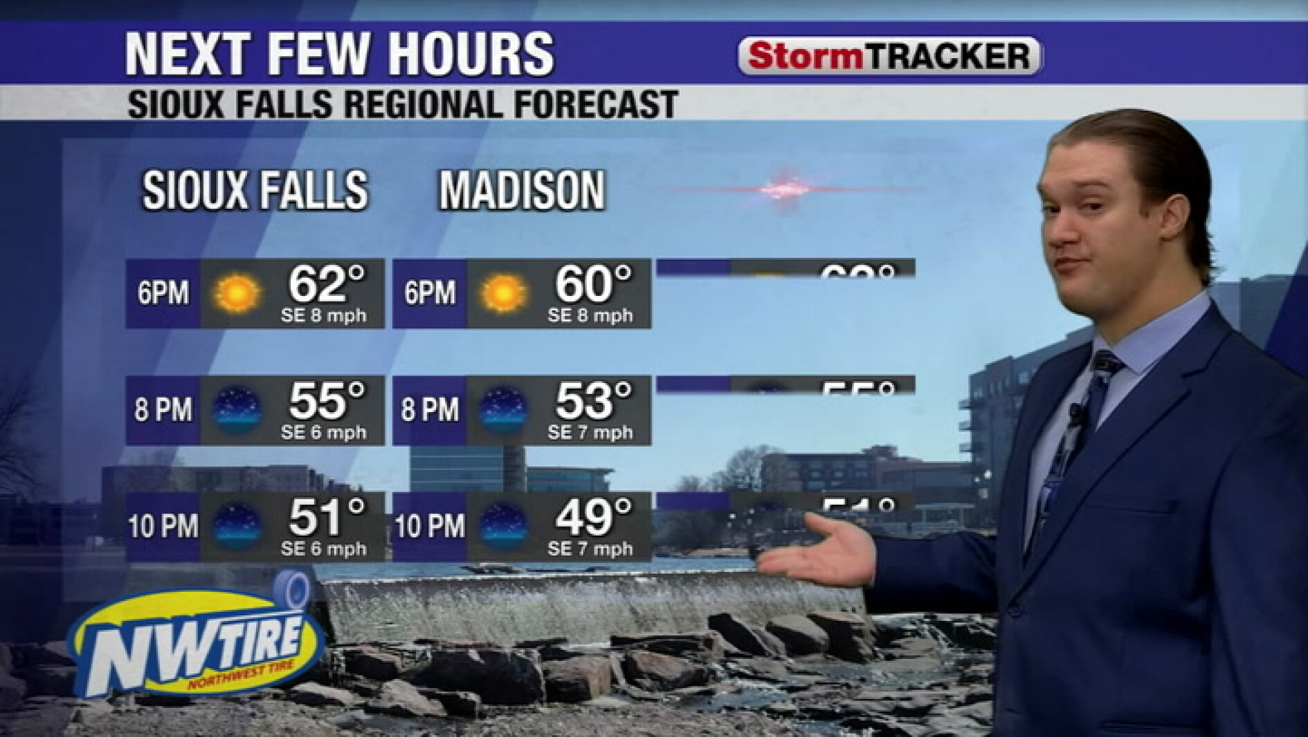 Clear skies tonight and a warm fall week around Sioux Falls
The Globe | Worthington, Minnesota
-
 Light south winds keep temperatures mild through the day
Sioux Falls Live Light south winds keep temperatures mild through the day
-
 Chilly this morning with clear skies around the Sioux Falls area
Madison Daily Leader
- South Dakota Winter Weather: Sioux Falls Snow Near Nov. 6?
Sioux Falls, SD – South Dakota residents wondering when the first measurable snowfall of the 2026 winter season might arrive have an early November date to watch. Sioux Falls typically records its first accumulating…
-
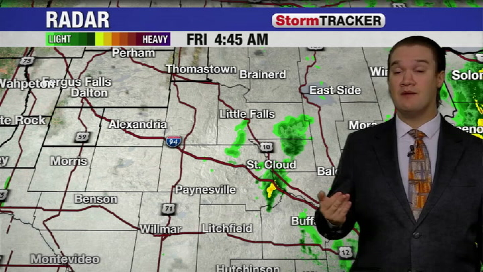 North winds and a cool morning around Sioux Falls with sprinkles sliding out
St. Cloud Live North winds and a cool morning around Sioux Falls with sprinkles sliding out
-
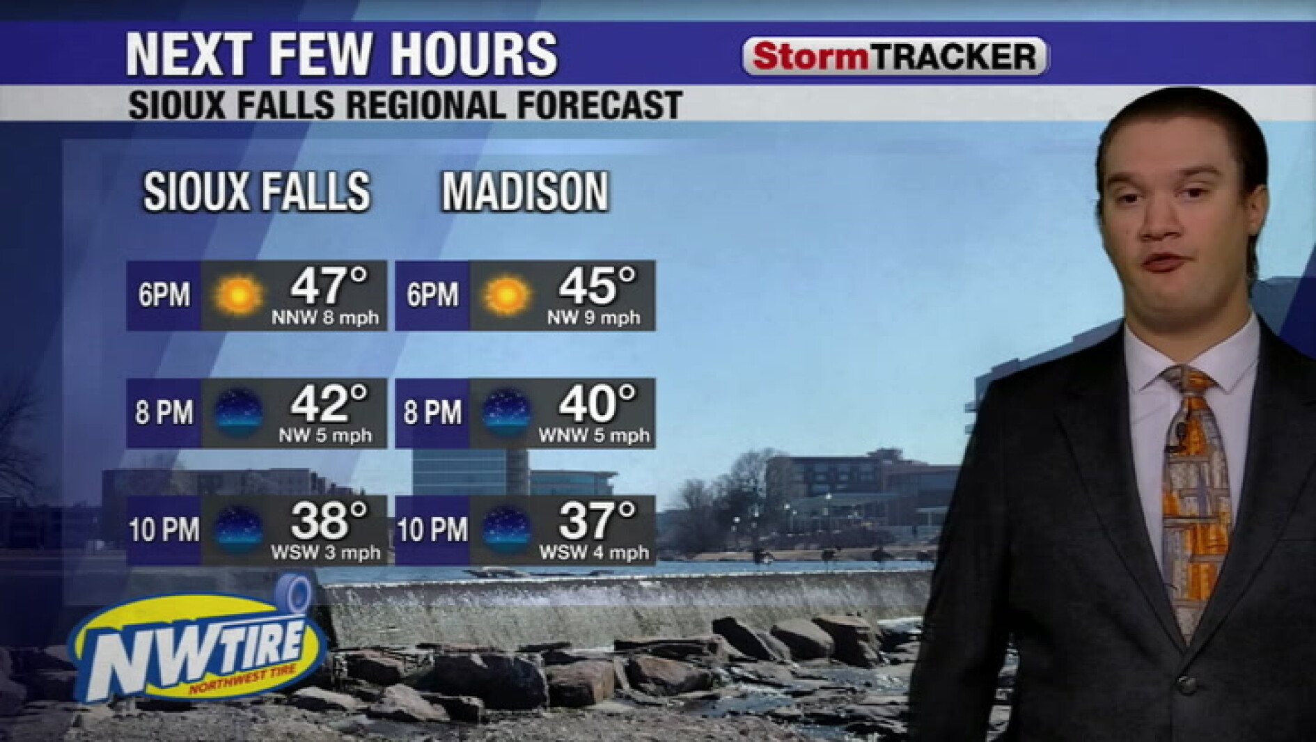 Freezing temperatures likely tonight ahead of a warmer weekend
Sioux Falls Live Freezing temperatures likely tonight ahead of a warmer weekend
-
 Freeze Watch Posted for Eastern South Dakota
Go Watertown Radio SIOUX FALLS, S.D.–Low temperatures are forecasted to fall down to near to just below freezing near and east of the James River early Saturday morning. These freezing temperatures could be hazardous to…
-
 Sioux Falls could see freezing temps Saturday morning
Multiple southeastern South Dakota counties will be under the first freeze watch ahead of the winter season overnight Friday and into Saturday morning, according to an alert issued Thursday night by the National Weather…
-
 Phil Schreck and Tyler Roney's Thursday First Alert Weather Briefing
Dakota News Now Phil Schreck and Tyler Roney's Thursday First Alert Weather Briefing TikTok artist ‘Drawings by Trent’ meets fans in downtown Sioux Falls Possible space debris discovered in Minnesota cornfield…
-
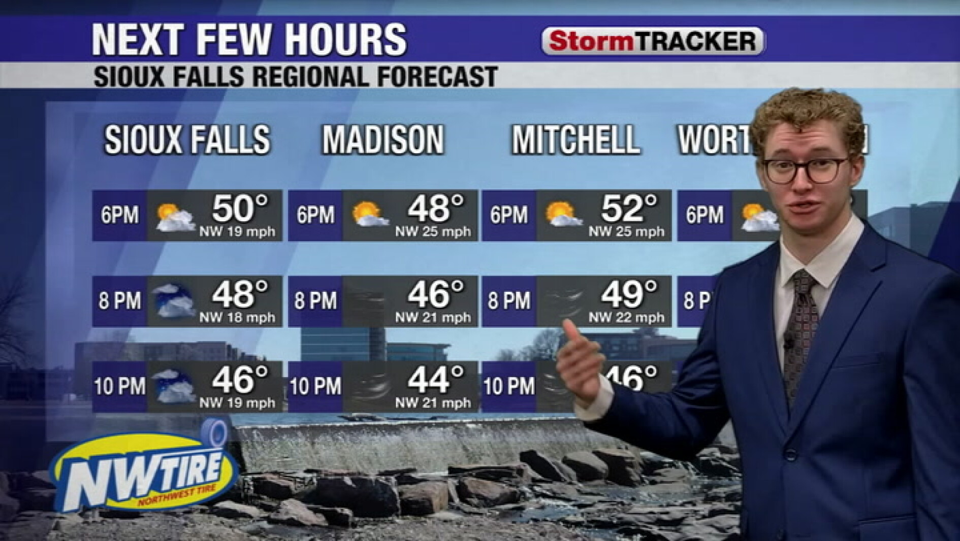 Windy and cloudy this evening with a few rain showers mixed in
Sioux Falls Live Windy and cloudy this evening with a few rain showers mixed in
Air quality
Acceptable. Unusually sensitive people should consider limiting prolonged outdoor exertion.
Sioux Falls, SD reporting area · 1 hr ago. Data from AirNow (EPA and its state, local and tribal partners); preliminary and subject to change.
Sun & moon
Almanac
MonthlySioux Falls Area, records since 1893. Normals 1991–2020. Data from NOAA's Regional Climate Centers (ACIS).
Nearby
- Brandon 20 km
- Madison 45 km
- Harrisburg 28 km
- Tea 26 km
- Luverne 47 km
- Pipestone 53 km
- Dell Rapids 18 km
- Canton 45 km
- Hartford 13 km
- Rock Rapids 57 km
- Flandreau 45 km
- Lennox 37 km
Forecasts, observations and alerts in the United States come from the National Weather Service (NOAA); radar from NOAA's Multi-Radar Multi-Sensor system; satellite imagery from NASA's Global Imagery Browse Services (GIBS) and NOAA's GOES satellites; the map from the U.S. Geological Survey's National Map; air quality from AirNow (EPA and its partners); hurricane information from the National Hurricane Center; climate normals and records from NOAA's Regional Climate Centers (ACIS). Forecasts outside the United States and the UV index: MET Norway (CC BY 4.0); observations outside the U.S.: airport reports via NOAA's Aviation Weather Center. Place names: GeoNames (CC BY 4.0). Data are copied on a schedule and may lag the sources; for warnings that affect your safety, follow your local National Weather Service office and emergency officials. Weather news is drawn from the 4Conservative index and reflects what the press published. Terms of use.