Install
Pine City, MN 55063 Weather
Current conditions
Observed at Rush City Regional Airport · 1 hr ago
Forecast
10-day-
Monday
A chance of rain showers after 7am. Cloudy, with a high near 47. Northeast wind around 5 mph.
-
Monday Night
A chance of rain showers. Mostly cloudy, with a low around 33. Northeast wind around 5 mph, with gusts as high as 20 mph.
-
Tuesday
Rain showers likely. Mostly cloudy, with a high near 51. East wind around 5 mph, with gusts as high as 20 mph.
National Weather Service forecast updated 3 days ago.
Hourly
Hourly forecast- Now46°37%
- 3 PM47°37%
- 4 PM47°37%
- 5 PM46°37%
- 6 PM46°37%
- 7 PM45°41%
- 8 PM43°41%
- 9 PM41°41%
- 10 PM39°41%
- 11 PM38°41%
- Tue12 AM37°41%
- 1 AM37°46%
- 2 AM37°46%
- 3 AM36°46%
- 4 AM36°46%
- 5 AM36°46%
- 6 AM36°46%
- 7 AM36°55%
- 8 AM38°55%
- 9 AM40°55%
- 10 AM43°55%
- 11 AM45°55%
- 12 PM46°55%
- 1 PM48°25%
10-day forecast
Details- TonightOct 22Mostly Clear50°
- FriOct 23Partly Sunny then Chance Rain Showers30%58°74°
- SatOct 24Partly Sunny then Chance Rain Showers36%39°72°
- SunOct 25Partly Sunny10%36°55°
- TodayOct 26Chance Rain Showers46%33°47°
- TueOct 27Rain Showers Likely55%40°51°
- WedOct 28Chance Rain Showers41%39°58°
- ThuOct 29Partly Sunny14%54°
- FriOct 30Partly cloudy31°42°
- SatOct 31Cloudy35°56°
Days after the National Weather Service's seven are MET Norway's outlook, a computer model with no forecaster's review.
Radar
Full mapWeather news in Minnesota
More weather news-
 Widespread rainy weather in Minnesota | Oct. 26, 2026
CBS News Minnesota is a local news organization that is part of CBS News and Stations. Also referred to as WCCO-TV and channel 4, CBS News Minnesota offers local breaking news, weather coverage and investigative…
-
 Widespread rain in Minnesota Monday; milder air returns Tuesday
Updated on: October 26, 2026 / 6:42 AM CDT / CBS Minnesota Minnesota will see widespread rain Monday, with the heaviest amounts across the western and central parts of the state. Some areas could see more than an inch…
-
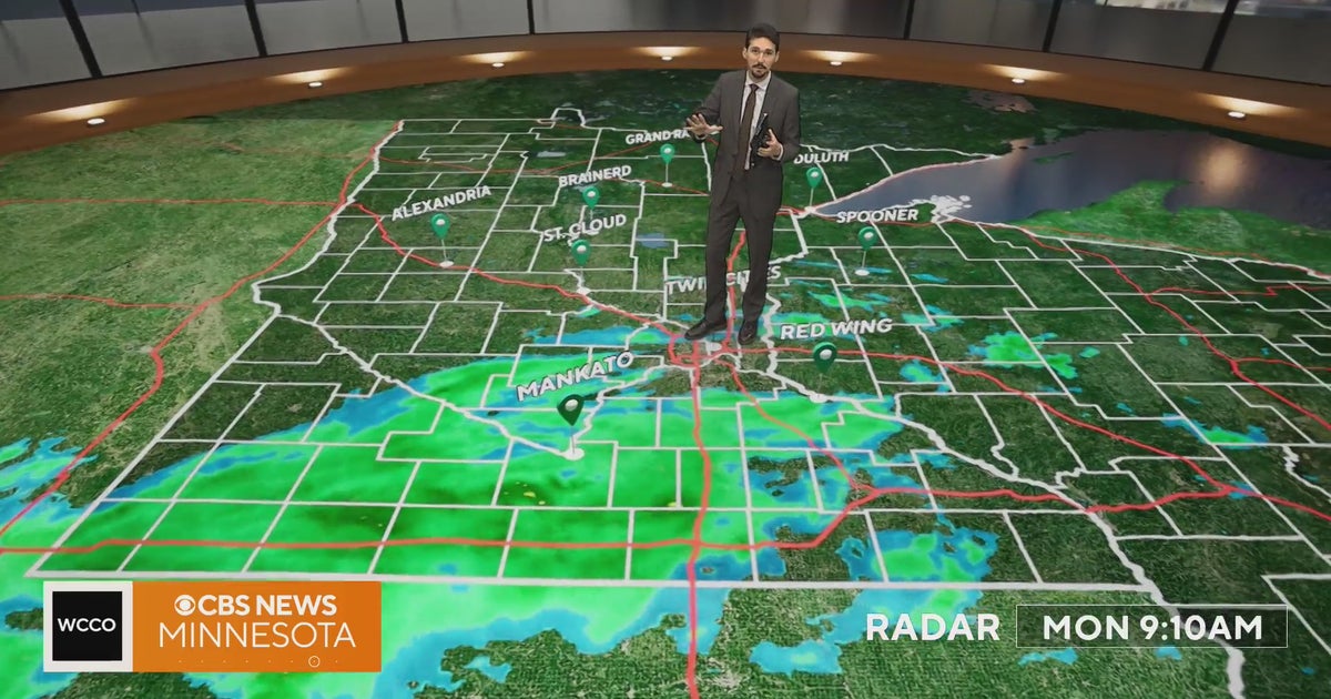 Minnesota weather veers toward soaking rain Monday, with some areas topping an inch | Oct. 26, 2026
Widespread rain moves through, with the heaviest amounts in western and central Minnesota, and highs only in the 40s. Rain exits early Tuesday, then skies gradually clear and highs rebound into the 50s and 60s, WCCO…
-
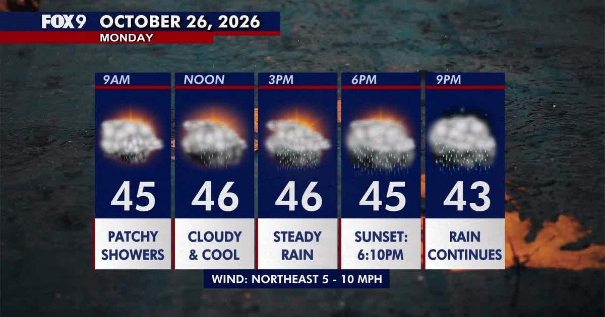 Minnesota weather: Wet, cloudy and cool Monday
Monday stays cloudy and chilly, with scattered morning showers turning into steadier afternoon rain across much of Minnesota. Temperatures remain mainly in the 40s before rain clears Tuesday and warmer weather returns…
-
 Cloudy Sunday with scattered showers as cooler air returns to Minnesota
October 25, 2026 / 12:39 PM CDT / CBS Minnesota A cold front has brought some cooler, more seasonal air to Minnesota. There will be lots of clouds Sunday, keeping highs in the mid-50s. There could be a few showers in…
-
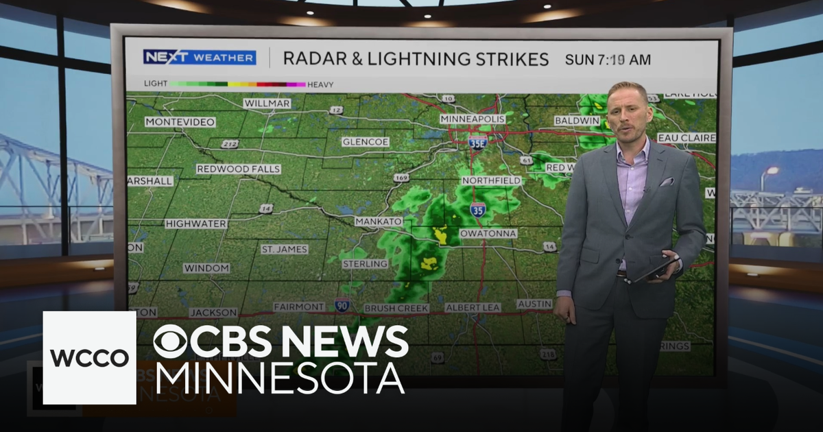 Cooler air returns to Minnesota, along with scattered showers | Oct. 25, 2026
CBS News Minnesota is a local news organization that is part of CBS News and Stations. Also referred to as WCCO-TV and channel 4, CBS News Minnesota offers local breaking news, weather coverage and investigative…
-
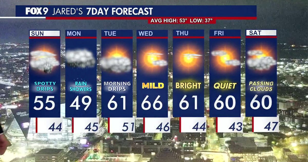 Minnesota weather: Cloudy skies and cooler air ahead after overnight rain
Expect a cool and cloudy Sunday with scattered, passing showers later in the evening. FOX 9 meteorologist Jared Piepenburg has the full forecast. MINNEAPOLIS (FOX 9) - Cooler air, clouds and scattered rain are set to…
-
 When Does Daylight Saving Time End in Minnesota?
I like bright sunny summer days, so the transition to fall is always a downer for me. The part I like the least is how short the days get. You've probably already noticed the sun going down earlier each day, and it…
-
 Another round of wind and showers Saturday in Minnesota | Oct. 24, 2026
CBS News Bay Area Morning Edition Weekend 6am WBZ This Morning 8am CBS News Chicago Saturday 8am CBS Colorado Mornings Weekend CBS News Los Angeles Weekend 6am CBS News Miami This Morning 9am WCCO News Saturday Morning…
-
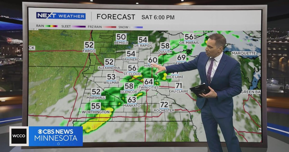 Minnesota weather to feature warm temps Saturday before cooldown | Oct. 23, 2026
CBS News Minnesota is a local news organization that is part of CBS News and Stations. Also referred to as WCCO-TV and channel 4, CBS News Minnesota offers local breaking news, weather coverage and investigative…
Air quality
Air quality is satisfactory, and air pollution poses little or no risk.
Forecast
- MonGood (3)
- TueGood (6)
- WedModerate
East Central Minnesota, MN reporting area · 1 hr ago. Data from AirNow (EPA and its state, local and tribal partners); preliminary and subject to change.
Sun & moon
Almanac
MonthlyMora, records since 1904. Normals 1991–2020. Data from NOAA's Regional Climate Centers (ACIS).
Nearby
- North Branch 37 km
- Cambridge 38 km
- Wyoming 56 km
- Isanti 47 km
- Chisago City 51 km
- Lindstrom 50 km
- Mora 31 km
- Rush City 17 km
- Milaca 59 km
- Sandstone 33 km
- Osceola 59 km
- Saint Croix Falls 52 km
Forecasters' discussion
From the National Weather Service office in DLH, issued 8 hrs ago
Key Messages
- A more active pattern is expected this week with multiple chances for rain. Expect high temperatures today to be near to slightly below normal in the 40s.
- There is the potential for light snow showers early Tuesday morning, especially in north-central MN and far northern Arrowhead. Accumulations are expected to be a trace to none, quickly melting by late morning.
- Near normal temperatures Monday into Tuesday before warming back above normal for the remainder of the week and into the weekend.
Update
Issued at 136 AM CDT Mon Oct 26 2026
Scattered light rain showers are continuing early this morning as an area of weak isentropic ascent occurs across the southern CWA. These rain showers have largely remained confined along and south of a line from Brainerd to Moose Lake and farther east to Mellen. To the north of these showers, dry air remains in place as high pressure continues to build over the northern Plains. CAMs continue to suggest that these southern CWA rain showers will continue through tonight, ending around sunrise.
There were no major forecast changes made early this morning. Low pressure is still expected to arrive late this evening and move through the Upper Midwest on Tuesday as a negatively-tilted shortwave trough propagates north-northeast from the Four Corners region into the Midwest. Maintained a trace of snow accumulation in the forecast on Tuesday morning, as the precipitation associated with the warm front and deformation zone will be arriving around peak diurnal cooling. Confidence in a rain/snow mix to light snow showers on early Tuesday morning is highest in north-central MN and the far northern Arrowhead where low temps will likely be the coldest in the upper 20s. Expect any snow that falls to quickly melt as high temps on Tuesday increasing into the upper 40s in the northern half of the CWA and to around 60 in portions of northwest WI.
The forecast beyond the precipitation chances tonight into Tuesday remains relatively unchanged with this update. Please see the previous discussion for more information.
Discussion
Issued at 110 PM CDT Sun Oct 25 2026
Low pressure over Hudson Bay trailed a cold front into the eastern UP of Michigan and northeastern to southwestern Wisconsin early this afternoon. Some showers were lingering along and behind the front across northern Wisconsin, but most of this activity had cleared the Northland with dry conditions expected for most for the balance of the afternoon and evening. High pressure was building in from the Northern Plains with drier air. A pressure gradient remained over the Minnesota Arrowhead between the Hudson Bay low and the high moving in from the west leading to some breezier winds from northern into northeastern Minnesota. Heading into tonight, a stationary boundary will set up across northern Wisconsin into central Minnesota as a trough starts to emerge from the Rockies. This may lead to some light shower activity across our far southern zones tonight into tomorrow morning as moisture advects into the Upper Midwest along this boundary and with isentropic lift. Otherwise, most of the Northland will see a dry and fairly normal fall day with highs running near normal in the 40s.
High pressure will shift to the northeast Monday night into Tuesday as low pressure lifts northward across the Plains as a mid-level trough moves into the central CONUS. As the low moves into Minnesota early Tuesday, it will lift a warm front northward and spread showers across the Northland. With lows Monday night falling below freezing along and north of the Iron Range, some light snow or pockets of all snow will be possible as precipitation moves in. Temperatures will quickly warm after sunrise and change any snow over to rain with little to no accumulation expected. Showers will taper off from southwest to northeast Tuesday afternoon before another chance for showers arrives Tuesday night into Wednesday morning in association with a weak cold front. This front will then stall out across the region on Wednesday with warm southerly flow to the south of it. This will bring highs in the 60s across northwest Wisconsin and from around Lake Mille Lacs to the Twin Ports area with 50s to the north and east. Another chance for showers will be seen along and ahead of this front for Wednesday afternoon and Wednesday night as this system moves out of the region and high pressure builds in. While rainfall amounts for Wednesday don't look too impressive, there has been an upward trend in totals for the Monday night into Tuesday round with 0.5-0.75" possible from the Brainerd Lakes area into southern Pine and Burnett counties with amounts tailing off to the north and east.
Low chances for precipitation will then linger for late week and into the weekend, although guidance is less optimistic on this occurring than yesterday. Confidence in the warmer temperatures sticking around is higher, however, with highs in the 50s and 60s expected for late week and into the weekend with no hints of a 1991-style Halloween.
Aviation
Issued at 631 AM CDT Mon Oct 26 2026
Clouds are prevalent at BRD/HYR/DLH, but VFR conditions are expected through the morning. Stray sprinkles can't be ruled out. Otherwise, through today, expect VFR conditions that will gradually deteriorate this evening as a low pressure system moves into the region. Ceilings will fall to MVFR/IFR with MVFR visibilities as rain moves in from south to north. Winds will become a little breezy from the east as rain begins as well.
Forecasts, observations and alerts in the United States come from the National Weather Service (NOAA); radar from NOAA's Multi-Radar Multi-Sensor system; satellite imagery from NASA's Global Imagery Browse Services (GIBS) and NOAA's GOES satellites; the map from the U.S. Geological Survey's National Map; air quality from AirNow (EPA and its partners); hurricane information from the National Hurricane Center; climate normals and records from NOAA's Regional Climate Centers (ACIS). Forecasts outside the United States and the UV index: MET Norway (CC BY 4.0); observations outside the U.S.: airport reports via NOAA's Aviation Weather Center. Place names: GeoNames (CC BY 4.0). Data are copied on a schedule and may lag the sources; for warnings that affect your safety, follow your local National Weather Service office and emergency officials. Weather news is drawn from the 4Conservative index and reflects what the press published. Terms of use. How to use Weather