Install
Elko New Market, MN 55054 Weather
Current conditions
Observed at Minneapolis, Airlake Airport · 1 hr ago
Forecast
10-day-
Saturday Night
A chance of rain showers before 7pm. Mostly cloudy, with a low around 48. Northwest wind 5 to 10 mph. Chance of precipitation is 30%.
-
Sunday
Mostly cloudy, with a high near 56. North wind around 5 mph.
-
Sunday Night
A chance of rain showers after 1am. Cloudy, with a low around 43. North northeast wind around 5 mph. Chance of precipitation is 30%.
National Weather Service forecast updated 2 days ago.
Hourly
Hourly forecast- Now52°
- 3 AM51°
- 4 AM50°
- 5 AM49°
- 6 AM48°
- 7 AM48°11%
- 8 AM49°11%
- 9 AM49°11%
- 10 AM50°11%
- 11 AM51°11%
- 12 PM52°11%
- 1 PM53°
- 2 PM54°
- 3 PM55°
- 4 PM55°
- 5 PM55°
- 6 PM54°
- 7 PM51°
- 8 PM50°
- 9 PM49°
- 10 PM48°
- 11 PM48°
- Mon12 AM47°
- 1 AM47°32%
10-day forecast
Details- TonightOct 22Mostly Clear56°
- FriOct 23Mostly Sunny then Slight Chance Rain Showers19%60°73°
- SatOct 24Partly Sunny then Chance Rain Showers25%48°75°
- TodayOct 25Mostly Cloudy32%43°56°
- MonOct 26Chance Rain Showers44%41°50°
- TueOct 27Chance Rain Showers29%44°53°
- WedOct 28Chance Rain Showers33%42°58°
- ThuOct 29Partly Sunny14%55°
- FriOct 30Sunny31°44°
- SatOct 31Cloudy39°58°
Days after the National Weather Service's seven are MET Norway's outlook, a computer model with no forecaster's review.
Radar
Full mapWeather news in Minnesota
More weather news-
 When Does Daylight Saving Time End in Minnesota?
I like bright sunny summer days, so the transition to fall is always a downer for me. The part I like the least is how short the days get. You've probably already noticed the sun going down earlier each day, and it…
-
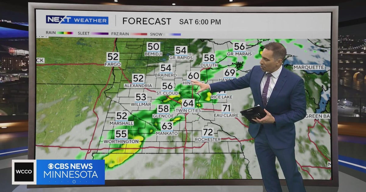 Minnesota weather to feature warm temps Saturday before cooldown | Oct. 23, 2026
CBS News Minnesota is a local news organization that is part of CBS News and Stations. Also referred to as WCCO-TV and channel 4, CBS News Minnesota offers local breaking news, weather coverage and investigative…
-
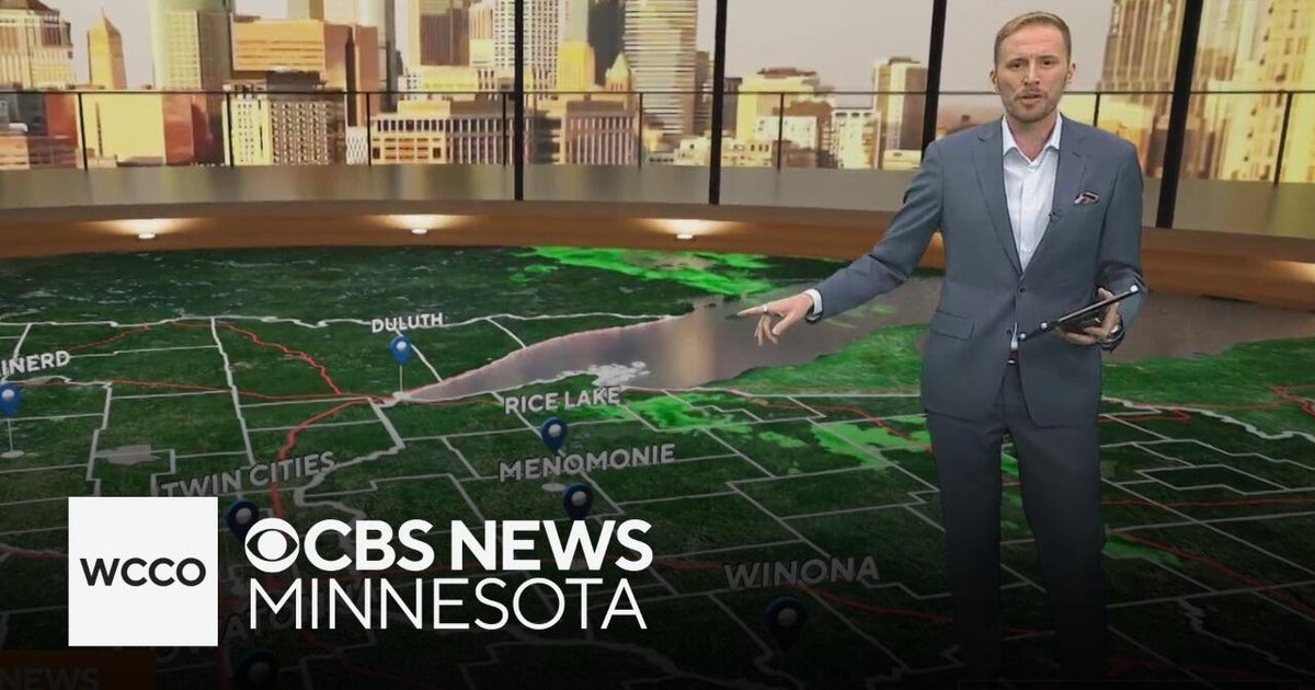 Another round of wind and showers Saturday in Minnesota | Oct. 24, 2026
CBS News Bay Area Morning Edition Weekend 6am WBZ This Morning 8am CBS News Chicago Saturday 8am CBS Colorado Mornings Weekend CBS News Los Angeles Weekend 6am CBS News Miami This Morning 9am WCCO News Saturday Morning…
-
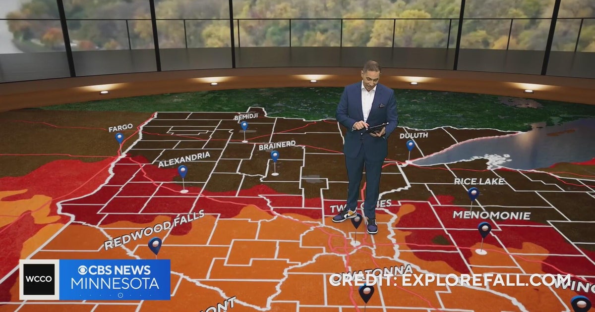 Minnesota weather: one last warm day, then a damp, cool change | Oct. 23, 2026
CBS News Minnesota is a local news organization that is part of CBS News and Stations. Also referred to as WCCO-TV and channel 4, CBS News Minnesota offers local breaking news, weather coverage and investigative…
-
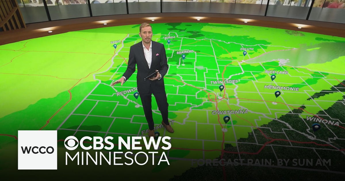 Minnesota's weather is about to pivot back to fall | Oct. 23, 2026
CBS News Minnesota is a local news organization that is part of CBS News and Stations. Also referred to as WCCO-TV and channel 4, CBS News Minnesota offers local breaking news, weather coverage and investigative…
-
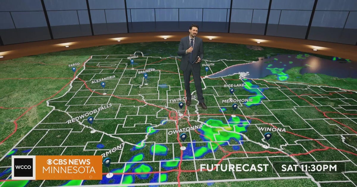 Minnesota weather turns cooler after a Saturday cold front brings light showers | Oct. 23, 2026
Rain chances improve Saturday afternoon and evening, with amounts under a tenth of an inch and gusts near 30 mph. Highs reach the 70s ahead of the front, then fall to the mid 50s Sunday, WCCO meteorologist Joseph Dames…
-
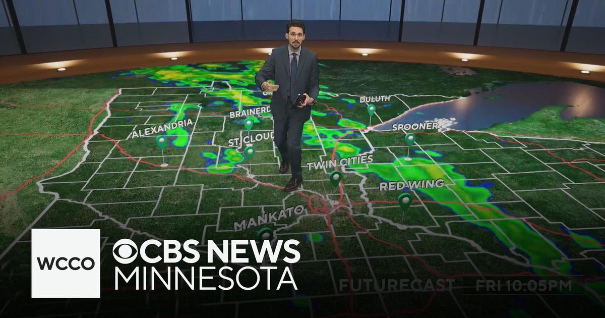 Last taste of mild fall weather in Minnesota | Oct. 23, 2026
CBS News Minnesota is a local news organization that is part of CBS News and Stations. Also referred to as WCCO-TV and channel 4, CBS News Minnesota offers local breaking news, weather coverage and investigative…
-
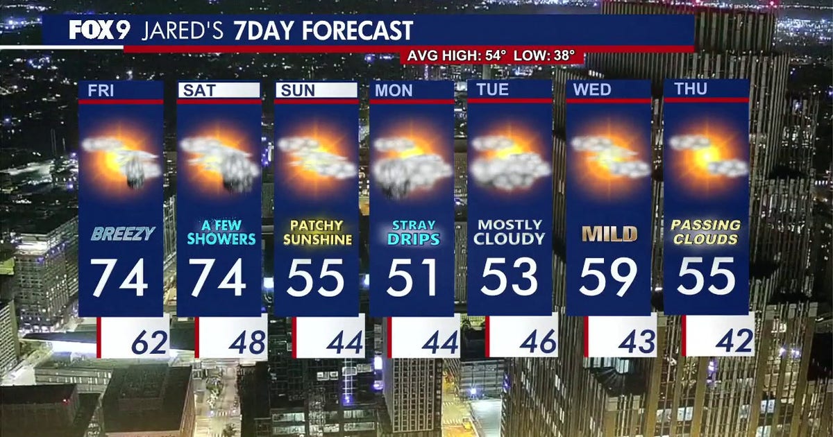 Minnesota weather: Breezy and warm Friday with small rain chances later
Friday is staying warm with small rain chances later in the afternoon. FOX 9 meteorologist Jared Piepenburg has the full forecast. MINNEAPOLIS (FOX 9) - Friday is off to a mild and quiet start before a warm and breezy…
-
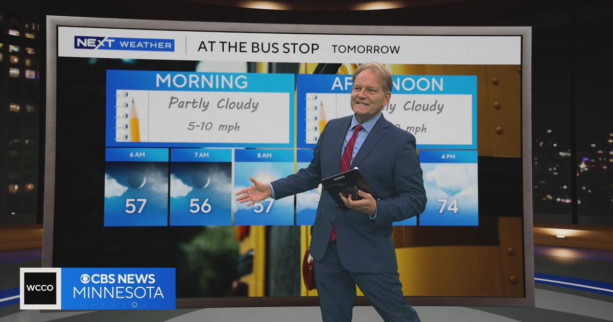 Minnesota sees chances for rain and more seasonable temps soon | Next Weather 10 p.m. Oct. 22, 2026
CBS News Minnesota is a local news organization that is part of CBS News and Stations. Also referred to as WCCO-TV and channel 4, CBS News Minnesota offers local breaking news, weather coverage and investigative…
-
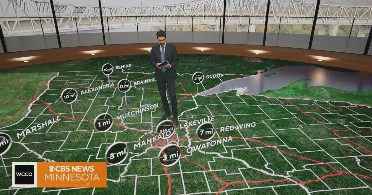 Minnesota gets 3 more days in the 70s, then a cold front cuts the weekend in half | Oct. 22, 2026
Thursday and likely Friday and Saturday all reach the mid 70s, then a cold front moves through Saturday evening and night, dropping highs into the 50s Sunday and the lower 50s Monday through Wednesday, WCCO…
Air quality
Air quality is satisfactory, and air pollution poses little or no risk.
Forecast
- SunGood
- MonGood
- TueGood
Southern Twin Cities Metro, MN reporting area · 1 hr ago. Data from AirNow (EPA and its state, local and tribal partners); preliminary and subject to change.
Sun & moon
Almanac
MonthlyJordan 1ssw, records since 1949. Normals 1991–2020. Data from NOAA's Regional Climate Centers (ACIS).
Nearby
- Minneapolis 46 km
- Saint Paul 46 km
- Bloomington 31 km
- Brooklyn Park 59 km
- Plymouth 51 km
- Maple Grove 57 km
- Woodbury 49 km
- Eagan 29 km
- Eden Prairie 34 km
- Burnsville 23 km
- Lakeville 12 km
- Minnetonka 41 km
Forecasters' discussion
From the National Weather Service office in MPX, issued 2 hrs ago
Key Messages
- Cold front is passing through MN this afternoon with much cooler temperatures expected through early next week. Trending warmer again later next week and next weekend.
- Multiple chances for rain through next week. Heaviest rainfall amounts expected across western MN Monday and Monday night.
Discussion
Issued at 229 PM CDT Sat Oct 24 2026
At 2 PM, a cold front was evident on Doppler radar stretching from just east of St. Cloud south to Hutchinson and just west of New Ulm. Temperatures ahead of the front have risen into the mid 70s with a sharp drop into the 40s and 50s behind it. Clouds and showers have been persistent across western MN all day and are not showing signs of expanding eastward yet. The showers appear tied to a nearly stationary pwat gradient despite a progressive surface cold front. Eventually drier air aloft will spread southeast and focus shower activity farther south and east this evening. Due to ridging across the MS Valley, the 1-1.25 inch pwat plume won't clear the region and hang up across southern MN. This will keep low chances for showers going across southern/eastern MN and WI through Sunday morning.
An upper low over the Desert Southwest today will advance to the Rockies late Sunday. As it approaches, shower activity will increase across the central Plains to southern and western MN by Sunday night. The low will track from central NE to eastern SD to northern MN Monday into Tuesday. The best moisture transport will be confined to western MN and is where the best chances for a soaking rain is forecast. Rainfall totals of around an inch are likely across far western MN with amounts tapering off to the east. The system will exit to the north early Tuesday. Another disturbance will quickly follow Tuesday night and Wednesday, bringing the next chance for showers.
A ridge will remain parked over the Appalachians and Ohio Valley through the rest of the forecast period. Southwest flow will bring another several disturbances northeast across the Upper Midwest, all bringing with them chances for precipitation. Predictability of each remains low and so PoPs are currently littering the forecast. As predictability increases over the next couple days we should be able to fine tune PoPs a bit better. Regardless of specific timing, it's looking like an active period ahead.
Temperatures will be cool to start the week, but then will warm back to the 60s and quite possibly 70s as the week wears on with broad southerly flow developing in advance of a larger scale system late week.
Aviation
Issued at 1212 AM CDT Sun Oct 25 2026
A band of light rain showers is slowly moving to the northeast across southwestern MN. The only terminal observing showers currently is RWF, however it's possible that MKT, MSP, and potentially RNH observe a period of light precipitation between now and daybreak. A band of showers is forecast to redevelop across southern MN mid-morning and gradually lift north. Once again, anticipate precipitation rates to be on the lighter side and have generally opted to follow RAP/CAM guidance for onset times. VFR cigs and light northerly winds expected throughout the period. The only exception is at RNH, where a localized deck of MVFR stratus is present at initiation. Forecast soundings suggest the low stratus will lift prior to daybreak.
KMSP...Batch of VFR showers is moving towards the terminal from the southwest. Maintained a tempo for showers through 10z, prior to an anticipated lull in activity. Band of showers is forecast to lift north this afternoon, which has prompted the inclusion of prevailing VFR -SHRA starting at 20z. Cigs remain VFR through the period.
/OUTLOOK FOR KMSP/ MON...-RA/MVFR likely, chc IFR. Wind NE 5-10kts. TUE...Chc A.M. -SHRA/MVFR. Wind SE 10-15kts. WED...Chc A.M. -SHRA/MVFR. Wind SW 10-15kts.
Mpx Watches
MN...None. WI...None.
Forecasts, observations and alerts in the United States come from the National Weather Service (NOAA); radar from NOAA's Multi-Radar Multi-Sensor system; satellite imagery from NASA's Global Imagery Browse Services (GIBS) and NOAA's GOES satellites; the map from the U.S. Geological Survey's National Map; air quality from AirNow (EPA and its partners); hurricane information from the National Hurricane Center; climate normals and records from NOAA's Regional Climate Centers (ACIS). Forecasts outside the United States and the UV index: MET Norway (CC BY 4.0); observations outside the U.S.: airport reports via NOAA's Aviation Weather Center. Place names: GeoNames (CC BY 4.0). Data are copied on a schedule and may lag the sources; for warnings that affect your safety, follow your local National Weather Service office and emergency officials. Weather news is drawn from the 4Conservative index and reflects what the press published. Terms of use.