Install
Rhinelander, WI 54501 Weather
Current conditions
Forecast for this hour (no station report in the last two hours)
Forecast
10-day-
Tonight
Mostly cloudy, with a low around 53. South southeast wind around 8 mph, with gusts as high as 20 mph.
-
Saturday
Partly sunny. High near 70, with temperatures falling to around 68 in the afternoon. South wind 9 to 13 mph, with gusts as high as 24 mph.
-
Saturday Night
A slight chance of rain showers after 5am. Mostly cloudy. Low around 49, with temperatures rising to around 53 overnight. Southwest wind 3 to 10 mph, with gusts as high as 23 mph. Chance of precipitation is 20%.
National Weather Service forecast updated 5 hrs ago.
Hourly
Hourly forecast- Now57°
- 11 PM56°
- Sat12 AM56°
- 1 AM55°
- 2 AM55°
- 3 AM54°
- 4 AM54°
- 5 AM54°
- 6 AM54°
- 7 AM53°
- 8 AM53°
- 9 AM55°
- 10 AM58°
- 11 AM61°
- 12 PM65°
- 1 PM67°
- 2 PM68°
- 3 PM70°
- 4 PM69°
- 5 PM68°
- 6 PM67°
- 7 PM63°
- 8 PM61°
- 9 PM61°
10-day forecast
Details- TonightOct 23Mostly Cloudy53°
- SatOct 24Partly Sunny16%49°70°
- SunOct 25Slight Chance Rain Showers25%38°58°
- MonOct 26Slight Chance Rain Showers32%30°47°
- TueOct 27Chance Rain And Snow Showers40%37°48°
- WedOct 28Chance Rain Showers30%41°58°
- ThuOct 29Slight Chance Rain Showers22%34°54°
- FriOct 30Slight Chance Rain Showers23%51°
- SatOct 31Light showers0.08 in55°66°
- SunNov 1Rain0.54 in46°60°
Days after the National Weather Service's seven are MET Norway's outlook, a computer model with no forecaster's review.
Radar
Full mapWeather news in Wisconsin
More weather news-
 Kevin Corriveau 8:30 p.m. Thursday - Tracking quiet conditions in southern Wisconsin and a look around the country
WMTV 15 NEWS Kevin Corriveau 8:30 p.m. Thursday - Tracking quiet conditions in southern Wisconsin and a look around the country 15+ First Alert Weather Kevin Corriveau 4:30 p.m. Thursday - Tracking above average…
-
 Southeastern Wisconsin Weather - Mild Through the Weekend
High-pressure will keep the nice weather around this weekend — keeping highs in the upper 60s Saturday/Sunday. The weather looks great for World Series Games 1 & 2 — with 60s at tailgating and upper 50s by first pitch…
-
 Fog continues to linger over Northeast Wisconsin
by Pete Petoniak, Fox 11 Director of Meteorology (WLUK) -- Areas of fog are expected again Thursday morning. In some areas, visibility could drop to a quarter mile. While today starts foggy, it will turn mostly sunny in…
-
 Southeast Wisconsin Weather: Mild stretch continues through the World Series weekend
The nice weather continues into the weekend — including for the first two games of the World Series! Highs will be in the 60s both days, but temps will drop into the 50s around first pitch. The next chance for rain…
-
 Delaney Boles 8 p.m. Tuesday - Dry and above-average temperatures expected for southern Wisconsin this week
WMTV 15 NEWS Delaney Boles 8 p.m. Tuesday - Dry and above-average temperatures expected for southern Wisconsin this week 15+ First Alert Weather Tuesday 8:00 PM - Staying Dry and Pleasant Through the Week 9:15 a.m…
-
 Wisconsin 360 Top stories for Tuesday, Oct. 20th: Early voting begins Tuesday
WEAU WEAU Weather @ 12 - Our warm October continues this week with more sunny days ahead INTERVIEW: Shows Coming Up at The Pablo Center LIVE @6:45 - Haunted Hillside Funds Dunn Co. Humane Society LIVE @6:15 - Haunted…
-
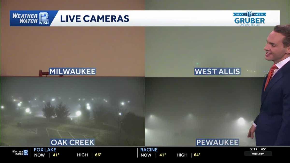 Impact Day: Dense fog in southeast Wisconsin
Dense fog will give way to sunny and comfortable conditions Tuesday across southeast Wisconsin. Areas of dense fog are creating visibility problems across southeastern Wisconsin Tuesday morning, especially for drivers…
-
 Suntabulous and dry weather remains across central Wisconsin through mid week
WSAW Suntabulous and dry weather remains across central Wisconsin through mid week Chances of fog overnight but sunny the next few days Weather remains dry, sunny, warm for the rest of the work week Calm, mild dry week…
- Wisconsin Winter 2026-27: Milwaukee, 55.8-Inch Snow History
NOAA historical maps covering 1950–2009 show that strong El Niño winters have generally favored below-average snowfall across Wisconsin and the broader Upper Midwest. However, those maps do not establish a comparable…
-
 Can Minnesota, Wisconsin Still Get Big Snowstorms During an El Niño Winter?
If you've been paying attention to the winter forecasts lately, you've probably heard the same message over and over: warm, mild, and maybe not much snow. For a lot of people across Minnesota and Wisconsin, that sounds…
Air quality
Acceptable. Unusually sensitive people should consider limiting prolonged outdoor exertion.
Forecast
- FriModerate
- SatModerate
- SunModerate
Northwoods East, WI reporting area · 1 hr ago. Data from AirNow (EPA and its state, local and tribal partners); preliminary and subject to change.
Sun & moon
Almanac
MonthlyRhinelander, records since 1893. Normals 1991–2020. Data from NOAA's Regional Climate Centers (ACIS).
Nearby
- Tomahawk 37 km
Forecasters' discussion
From the National Weather Service office in GRB, issued 3 hrs ago
Key Messages
- Staying mild into the weekend, with high temperatures inland of Lake Michigan warming into the mid 60s to low 70s.
- Rain chances (30 to 50%) Saturday night over northern Wisconsin, and late Monday into Tuesday mainly over central Wisconsin.
- Cooler start to next week, with highs mainly in the 50s.
Discussion
Issued at 1200 PM CDT Fri Oct 23 2026
Fog... Similar to yesterday, fog bank has been slow to lift along the lakeshore through the late morning and early afternoon as onshore flow persists. However, most inland areas are now seeing mainly low stratus as mixing increases. Dense fog regime looks to come to an end tonight as southerly flow increases out ahead of an approaching cold front, though could still see some patchy dense fog along the lakeshore into Saturday morning. However, would venture to say that widespread advisory level fog does not appear likely.
Rain chances... Majority of the next week will be characterized by periodic light rain chances as several transient shortwaves and weak frontal boundaries migrate through the area. First round will be Saturday into Sunday as moisture return along a slow-moving boundary nudges PWATs into the 1 to 1.25" range (~95th percentile). Upper jet energy working in tandem with front in the vicinity should then keep on and off rain chances in the forecast through at least the middle of next week. However, overall rainfall amounts should be held to a minimum with high pressure in the area and lack of stronger forcing at the surface. Would venture to say that most areas will see less than half an inch of QPF throughout the entire forecast period.
Temperatures... Arctic high sliding south in the wake of the front Monday into Tuesday will bring about a spell of below average temperatures during the middle of next week, with highs only getting into the mid 40s to mid 50s. However, cooler temperatures will be short-lived as return flow sets up on Wednesday, warming highs back up into the 50s and 60s. Monday night lows will fall into the low to mid 30s across the north, though little to no impacts are expected since the growing season has come to an end. Looking ahead, slightly above normal temperatures are favored toward the end of the month and into November as upper flow flattens out, though there is still uncertainty this far out as shown in ensemble spread.
Aviation
for 00Z TAF Issuance Issued at 704 PM CDT Fri Oct 23 2026
While not as dense or widespread as previous nights, low clouds and fog will again develop/expand across eastern WI this evening into tonight, mainly impacting MTW with LIFR conditions (briefly lower possible overnight). The clouds/fog could expand far enough west and impact GRB for a time later tonight. Otherwise, VFR conditions are expected as mid and high clouds spread across the region through the TAF period.
Southeast to south surface winds will remain under 10 kts tonight. As winds at 2000 ft increase overnight, LLWS will develop across central and north-central WI, impacting RHI, CWA and AUW. South winds will increase Saturday morning, with gusts to around 20 kts expected from mid-morning into the mid-afternoon.
Grb Watches
None.
Forecasts, observations and alerts in the United States come from the National Weather Service (NOAA); radar from NOAA's Multi-Radar Multi-Sensor system; satellite imagery from NASA's Global Imagery Browse Services (GIBS) and NOAA's GOES satellites; the map from the U.S. Geological Survey's National Map; air quality from AirNow (EPA and its partners); hurricane information from the National Hurricane Center; climate normals and records from NOAA's Regional Climate Centers (ACIS). Forecasts outside the United States and the UV index: MET Norway (CC BY 4.0); observations outside the U.S.: airport reports via NOAA's Aviation Weather Center. Place names: GeoNames (CC BY 4.0). Data are copied on a schedule and may lag the sources; for warnings that affect your safety, follow your local National Weather Service office and emergency officials. Weather news is drawn from the 4Conservative index and reflects what the press published. Terms of use.