Install
Bondurant, IA 50035 Weather
Current conditions
Forecast for this hour (no station report in the last two hours)
Forecast
10-day-
This Afternoon
Sunny. High near 78, with temperatures falling to around 75 in the afternoon. South wind 3 to 7 mph.
-
Tonight
Mostly clear, with a low around 53. South southeast wind around 7 mph.
-
Friday
Sunny. High near 77, with temperatures falling to around 74 in the afternoon. South southeast wind 6 to 13 mph, with gusts as high as 21 mph.
National Weather Service forecast updated 3 hrs ago.
Hourly
Hourly forecast- Now77°
- 5 PM76°
- 6 PM73°
- 7 PM70°
- 8 PM65°
- 9 PM63°
- 10 PM62°
- 11 PM60°
- Fri12 AM59°
- 1 AM57°
- 2 AM57°
- 3 AM56°
- 4 AM55°
- 5 AM55°
- 6 AM54°
- 7 AM54°
- 8 AM54°
- 9 AM57°
- 10 AM62°
- 11 AM66°
- 12 PM70°
- 1 PM73°
- 2 PM75°
- 3 PM75°
10-day forecast
Details- TodayOct 22Sunny53°78°
- FriOct 23Sunny57°77°
- SatOct 24Mostly Sunny55°77°
- SunOct 25Partly Sunny52°72°
- MonOct 26Mostly Cloudy12%50°67°
- TueOct 27Slight Chance Rain Showers20%49°63°
- WedOct 28Chance Rain Showers28%46°65°
- ThuOct 29Partly cloudy36°49°
- FriOct 30Sunny33°52°
- SatOct 31Cloudy44°62°
Days after the National Weather Service's seven are MET Norway's outlook, a computer model with no forecaster's review.
Radar
Full mapWeather news near Bondurant
More weather news-
 Dangerous Freeze Warnings Issued for Iowa, Wisconsin, Minnesota and Illinois as Temperatures Drop
Freeze Warnings take effect early Saturday across much of Iowa, Wisconsin, southeast and central Minnesota and northern Illinois, with lows as cold as 26 degrees expected. Seven National Weather Service offices issued…
- Freeze Warning Issued For Wapello County
A freeze warning has been issued for Wapello County, including Ottumwa, for early Saturday morning. The National Weather Service says temperatures could drop as low as 31 degrees, with the warning in effect from 1 a.m…
-
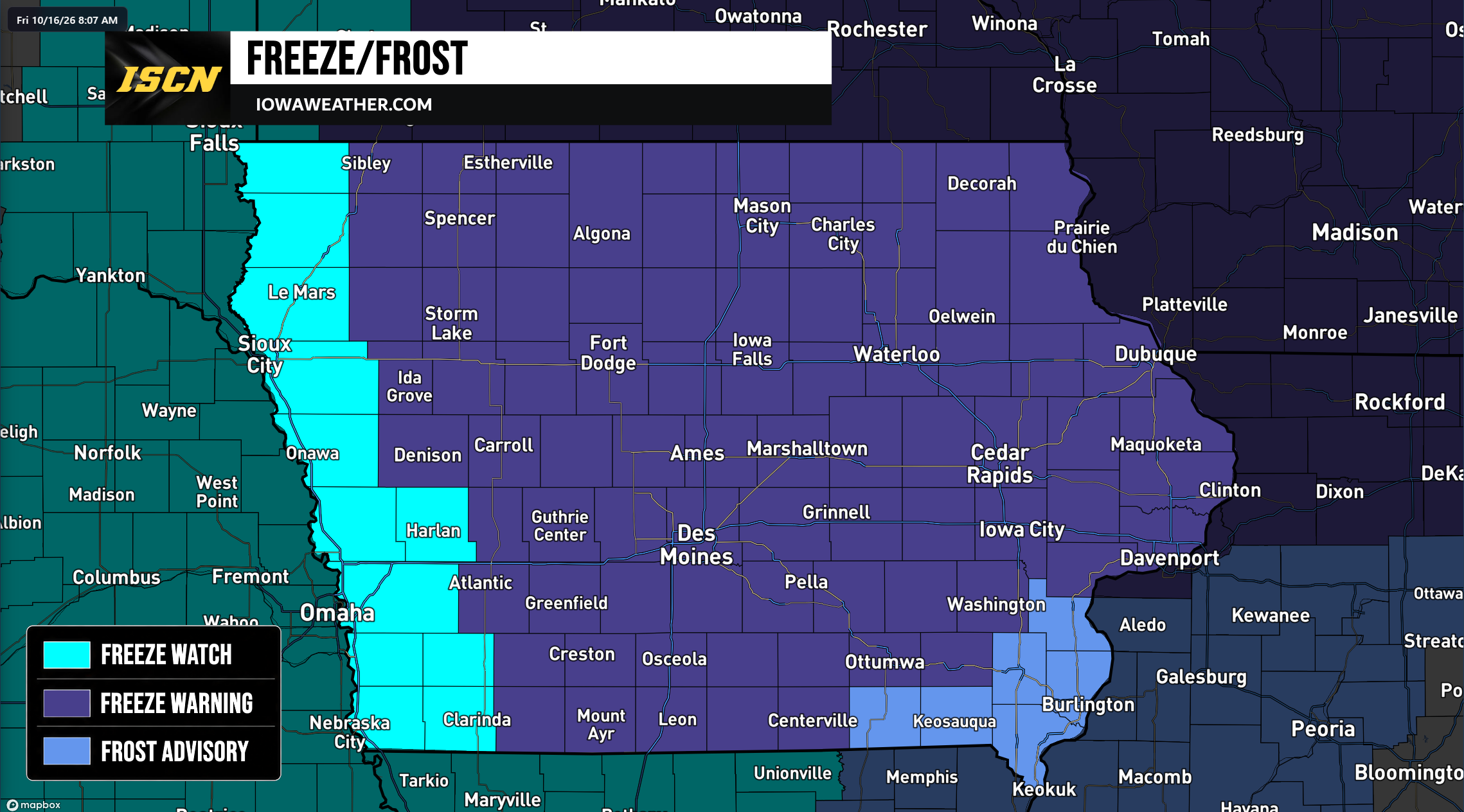 Widespread Freeze Warnings Issued Across Iowa as Temperatures Could Drop Into the 20s Saturday Morning
A widespread round of freezing temperatures is expected across Iowa early Saturday morning, prompting the National Weather Service to issue Freeze Warnings, Freeze Watches, and Frost Advisories for the entire state…
-
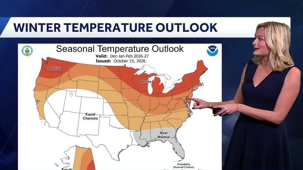 Looking ahead: Iowa's winter weather outlook
Our first frost of the season is already on the way, but what will be in store for the upcoming winter months? This Thursday the National Oceanic and Atmospheric Administration (NOAA) released its winter outlook with…
-
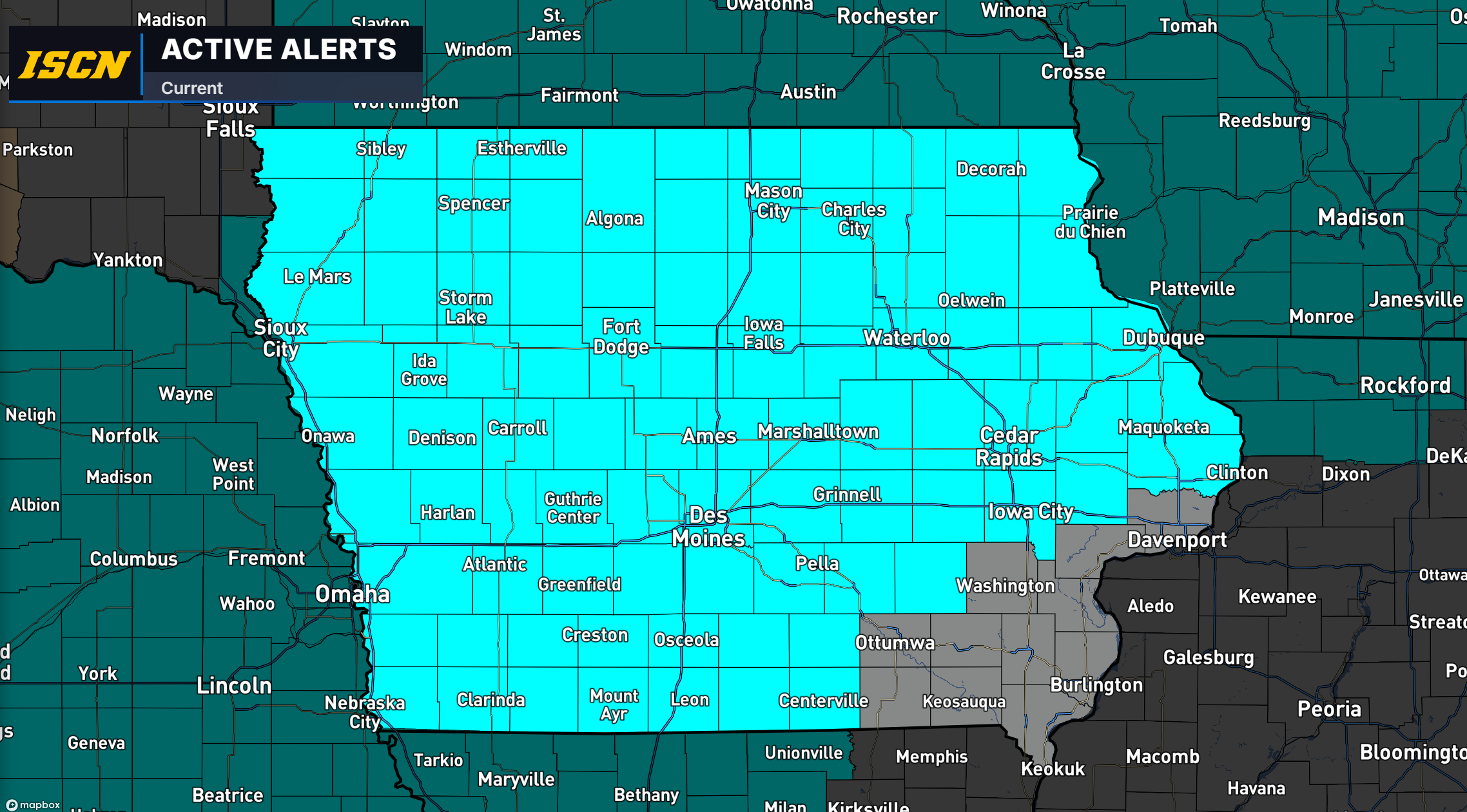 Freeze Watch Issued for Much of Iowa as Temperatures Could Drop Into the 20s Saturday Morning
Much of Iowa could experience a widespread freeze this weekend as colder air moves into the region, bringing some of the lowest temperatures of the fall season. The National Weather Service has issued a Freeze Watch for…
-
 More than a wet month: A review of September’s rainfall effects on Iowa farmers
Rain, rain and more rain. That’s what this September has looked like for Iowans. This affects everyone, from students walking to class through the rain to the local farmers waiting to harvest their crops. We have seen a…
-
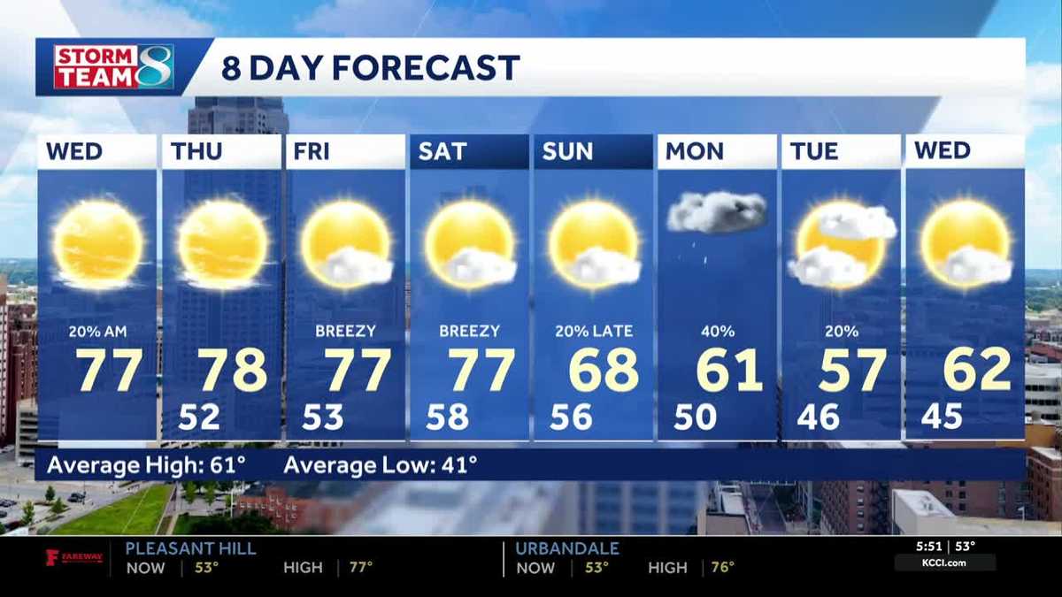 Iowa weather: Warm, dry conditions will come to an end next week
Clouds will linger a bit this morning, but most of the state will stay dry. Interactive Radar | Weather Alerts | Skycams There have been a few showers early this morning to the south and west, but the moisture is…
-
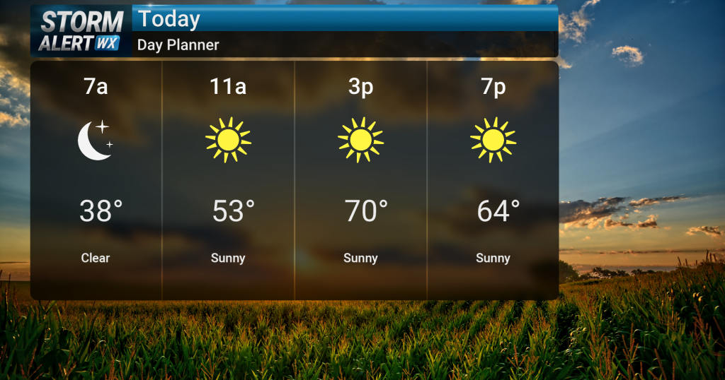 Sunny skies, warm temperatures across central Iowa today
Sunny skies are expected today across central and northern Iowa as warm conditions persist. High temperatures will reach the low 70s, with breezy conditions possible in northwest Iowa during the afternoon with gusts up…
-
 Lane shift planned on Mount Vernon Drive in Iowa City
Drivers on Mount Vernon Drive in Iowa City should expect shifted lanes starting Tuesday, Oct. 20, weather permitting.The lane shift will affect the stretch betw ... Lane shift planned on Mount Vernon Drive in Iowa City…
-
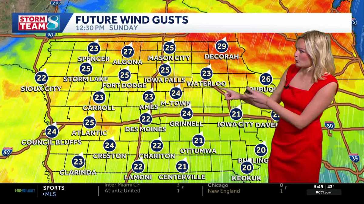 Iowa weather: Dry day before gradual warmup
It'll be a great day for outdoor plans with highs in the mid 60s and plenty of sunshine. High pressure to our east will keep our skies clear. It'll feel breezy with a wind out of the south gusting up to 25 mph at times…
Air quality
Acceptable. Unusually sensitive people should consider limiting prolonged outdoor exertion.
Forecast
- ThuModerate
- FriModerate
- SatModerate
Des Moines, IA reporting area · 1 hr ago. Data from AirNow (EPA and its state, local and tribal partners); preliminary and subject to change.
Sun & moon
Almanac
MonthlyDes Moines Area, records since 1878. Normals 1991–2020. Data from NOAA's Regional Climate Centers (ACIS).
Nearby
- Des Moines 17 km
- Ames 40 km
- West Des Moines 26 km
- Ankeny 13 km
- Urbandale 23 km
- Marshalltown 59 km
- Johnston 21 km
- Waukee 37 km
- Altoona 6 km
- Indianola 39 km
- Clive 25 km
- Newton 34 km
Forecasts, observations and alerts in the United States come from the National Weather Service (NOAA); radar from NOAA's Multi-Radar Multi-Sensor system; satellite imagery from NASA's Global Imagery Browse Services (GIBS) and NOAA's GOES satellites; the map from the U.S. Geological Survey's National Map; air quality from AirNow (EPA and its partners); hurricane information from the National Hurricane Center; climate normals and records from NOAA's Regional Climate Centers (ACIS). Forecasts outside the United States and the UV index: MET Norway (CC BY 4.0); observations outside the U.S.: airport reports via NOAA's Aviation Weather Center. Place names: GeoNames (CC BY 4.0). Data are copied on a schedule and may lag the sources; for warnings that affect your safety, follow your local National Weather Service office and emergency officials. Weather news is drawn from the 4Conservative index and reflects what the press published. Terms of use.