Install
Crown Point, IN 46307 Weather
Current conditions
Observed at Lansing Municipal Airport · 43 min ago
Forecast
10-day-
Tonight
Mostly clear, with a low around 42. East southeast wind 0 to 5 mph.
-
Wednesday
Sunny. High near 71, with temperatures falling to around 68 in the afternoon. West southwest wind around 0 mph.
-
Wednesday Night
Mostly clear, with a low around 47. North northeast wind around 0 mph.
National Weather Service forecast updated 9 hrs ago.
Hourly
Hourly forecast- Now46°
- 1 AM46°
- 2 AM44°
- 3 AM44°
- 4 AM43°
- 5 AM42°
- 6 AM42°
- 7 AM42°
- 8 AM44°
- 9 AM51°
- 10 AM57°
- 11 AM62°
- 12 PM66°
- 1 PM69°
- 2 PM70°
- 3 PM70°
- 4 PM70°
- 5 PM68°
- 6 PM64°
- 7 PM59°
- 8 PM56°
- 9 PM54°
- 10 PM53°
- 11 PM52°
10-day forecast
Details- TonightOct 20Mostly Clear42°
- TodayOct 21Sunny47°71°
- ThuOct 22Sunny46°71°
- FriOct 23Sunny46°70°
- SatOct 24Mostly Sunny50°71°
- SunOct 25Partly Sunny52°74°
- MonOct 26Partly Sunny12%47°67°
- TueOct 27Mostly Sunny14%60°
- WedOct 28Cloudy38°52°
- ThuOct 29Cloudy34°53°
Days after the National Weather Service's seven are MET Norway's outlook, a computer model with no forecaster's review.
Radar
Full mapWeather news near Crown Point
More weather news-
 Very warm tomorrow, weekend rain chances wane
It’s been unusually warm today, with temperatures well into the 70s across the metro area. We’ve already hit 75 degrees at PDX.. Which means we could get close to our record-warm high of 77 degrees for today’s date. We…
-
 Last 80° of the season Friday afternoon
That east wind sure has been strong today! We’ve seen gusts as strong as 50mph+ at Crown Point and about 30-35mph across the metro. This has allowed temperatures to jump to near 80 degrees in several locations. Check…
-
 Farmer’s Almanac Drops Thanksgiving Forecast and If It’s Correct, Folks in Indiana & Kentucky Should Get Their Snow Shovels Ready
In the past several years, Thanksgiving weather has been pretty warm. I don't recall the last time I saw snow on Thanksgiving in the Tri-State. We even spent Thanksgiving outside like a picnic a few years ago because it…
-
 Frost in Indiana could impact corn yields in isolated areas
Purdue Extension’s corn specialist says the state’s first frost of the season could have an impact on corn yields. Dan Quinn tells Brownfield, “If the crop hasn’t reached maturity yet, then we have impacts from both…
-
 Warming Trend Arrives Across Central Indiana This Week
A warming trend is taking hold today, with temperatures rising steadily over the coming days. The 13Weather Blog breaks down how the change will shape conditions across the Indianapolis area. Expect milder afternoons…
-
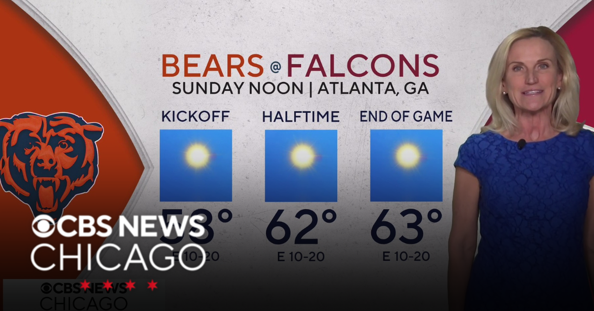 Overnight Frost Advisory for parts of Illinois, NW Indiana
CBS News Colorado 10pm Saturday CBS News Detroit Weekend 11pm CBS News Los Angeles Weekend 9pm CBS News Philadelphia Weekend 11pm KDKA News Weekend 11pm CBS News Texas Weekend 10pm
-
 Dangerous Freeze Warnings for 38 Counties in Indiana as Temperatures Plummet
Freeze Warnings are in effect for 38 counties in Indiana from early Sunday morning, with lows as cold as 30 degrees expected. The warnings cover central, northern, east central and southeast Indiana. Three National…
-
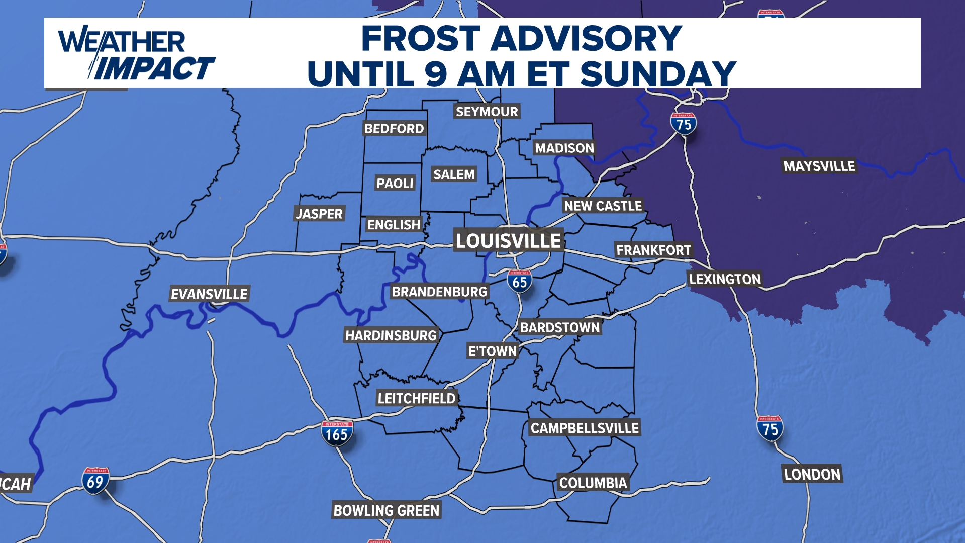 Frost Advisory Saturday night for Kentucky, southern Indiana
WHAS11 Frost Advisory Saturday night for Kentucky, southern Indiana Cover any sensitive vegetation in a cloth and bring in potted plants. The last time Louisville has a freeze was March 18, 2026. The normal first frost…
-
 Freeze watch in place for parts of central Indiana on Sunday morning | Oct. 16, 2026
INDIANAPOLIS — A freeze watch has been issued for the eastern half of central Indiana. TONIGHT: Spotty showers are possible early on. Clouds decrease as the night goes on. Low temperatures in the upper 30s. Winds could…
-
 Dangerous Freeze Watch for Parts of Indiana and Michigan as Temperatures Drop
A Freeze Watch is in effect for northern, east central and southeast Indiana from late Saturday night through Sunday morning, with lows as cold as 31 degrees possible. A Frost Advisory comes first, for parts of northern…
Air quality
Acceptable. Unusually sensitive people should consider limiting prolonged outdoor exertion.
Forecast
- WedModerate
Hammond-Gary, IN reporting area · 58 min ago. Data from AirNow (EPA and its state, local and tribal partners); preliminary and subject to change.
Sun & moon
Almanac
MonthlyPark Forest Water, records since 1952. Normals 1991–2020. Data from NOAA's Regional Climate Centers (ACIS).
Nearby
- Chicago 53 km
- Cicero 57 km
- Hammond 21 km
- Gary 19 km
- Orland Park 47 km
- Tinley Park 39 km
- Oak Lawn 46 km
- Berwyn 60 km
- Calumet City 26 km
- Portage 23 km
- Merrillville 7 km
- Valparaiso 25 km
Forecasters' discussion
From the National Weather Service office in LOT, issued 45 min ago
Key Messages
- Areas of fog, including potentially dense fog, may develop again late tonight into early Wednesday morning in and near the Chicago metro.
- An extended period of dry and above to much above average temperatures is expected through the upcoming weekend.
Discussion
Issued at 226 PM CDT Tue Oct 20 2026
An Omega block that is in place over the CONUS is expected to persist through the end of the week. The associated ridge axis will only ever so slowly crawl eastward over the coming days, which will maintain broad surface high pressure across the region. As a result, dry conditions with an abundance of sunshine will continue through the remainder of the week with high temperatures remaining above to well above normal for this time of year. Daily lake breezes will cause the coolest (low- mid 60s) high temperatures to be observed near Lake Michigan each day.
Much like last night/early this morning, optimal radiational cooling conditions will likely allow for fog to develop late tonight into tomorrow morning and possibly again in the coming nights/mornings. This will particularly be the case in and near the Chicago metro within the footprint of the marine-influenced air brought inland during the daytime, where the fog could become dense once again.
There is pretty good ensemble agreement at this point in time that the blocking pattern will break down by early next week. This will allow for a cold front to drop through the region sometime on Monday or Tuesday, resulting in a return to cooler and more seasonable temperatures for the middle of next week. The frontal passage may bring a chance for precipitation to the area early-mid next week, but support for this across the latest suite of ensemble guidance is not ubiquitous, and there are considerable temporal differences with when this next potential opportunity for precipitation may arrive as well.
Ogorek
Aviation
Issued at 1213 AM CDT Wed Oct 21 2026
Key Aviation Messages for the current TAF period:
- Fog, locally dense, is possible prior to sunrise, mainly at Chicago Terminals north of a KARR to KMDW line.
Winds are expected to be light and calm through the night. There is another chance for fog to develop this morning. It has already started to develop around and north of KENW where obs are already reporting 1/4SM. While fog development is not a certainty, if/when it does occur, it can be locally dense with vis potentially near zero. Similar to yesterday, vis improvement should be fairly quick after sunrise.
Light southwest winds are expected through much of the day before becoming more southeasterly toward sunset. Once the fog clears, VFR conditions are expected through the end of the TAF. There is another chance for patchy fog tomorrow morning, but the chances are not as great as recently.
DK
Lot Watches
IL...None. IN...None. LM...None.
Forecasts, observations and alerts in the United States come from the National Weather Service (NOAA); radar from NOAA's Multi-Radar Multi-Sensor system; satellite imagery from NASA's Global Imagery Browse Services (GIBS) and NOAA's GOES satellites; the map from the U.S. Geological Survey's National Map; air quality from AirNow (EPA and its partners); hurricane information from the National Hurricane Center; climate normals and records from NOAA's Regional Climate Centers (ACIS). Forecasts outside the United States and the UV index: MET Norway (CC BY 4.0); observations outside the U.S.: airport reports via NOAA's Aviation Weather Center. Place names: GeoNames (CC BY 4.0). Data are copied on a schedule and may lag the sources; for warnings that affect your safety, follow your local National Weather Service office and emergency officials. Weather news is drawn from the 4Conservative index and reflects what the press published. Terms of use.