Install
Bowling Green, KY 42103 Weather
Current conditions
Forecast for this hour (no station report in the last two hours)
Forecast
10-day-
Today
Sunny, with a high near 76. Northeast wind 3 to 7 mph.
-
Tonight
Clear, with a low around 41. Northeast wind around 5 mph.
-
Friday
Sunny, with a high near 73. Northeast wind 2 to 7 mph.
National Weather Service forecast updated 5 hrs ago.
Hourly
Hourly forecast- Now76°
- 4 PM74°
- 5 PM73°
- 6 PM69°
- 7 PM62°
- 8 PM59°
- 9 PM56°
- 10 PM54°
- 11 PM51°
- Fri12 AM49°
- 1 AM47°
- 2 AM46°
- 3 AM45°
- 4 AM44°
- 5 AM43°
- 6 AM42°
- 7 AM41°
- 8 AM44°
- 9 AM53°
- 10 AM59°
- 11 AM63°
- 12 PM68°
- 1 PM71°
- 2 PM72°
10-day forecast
Details- TodayOct 22Sunny41°76°
- FriOct 23Sunny40°73°
- SatOct 24Patchy Fog then Sunny43°75°
- SunOct 25Sunny43°75°
- MonOct 26Mostly Sunny44°74°
- TueOct 27Partly Sunny47°73°
- WedOct 28Partly Sunny45°72°
- ThuOct 29Cloudy51°77°
- FriOct 30Sunny42°60°
- SatOct 31Partly cloudy38°66°
Days after the National Weather Service's seven are MET Norway's outlook, a computer model with no forecaster's review.
Radar
Full mapWeather news near Bowling Green
More weather news-
 New record high on Thursday in Bowling Green
WBKO New record high on Thursday in Bowling Green Tracking rain, heat, and a big cool down Heat in the area and storms heading to South-Central Kentucky
-
 Big cooldown ahead: From record heat to possible frost this weekend
BOWLING GREEN, Ky. (WBKO) - This stretch of August in October is coming to an end. A cold front arriving around sunrise Friday morning will flip south-central Kentucky from summer-like heat back to fall in a hurry…
-
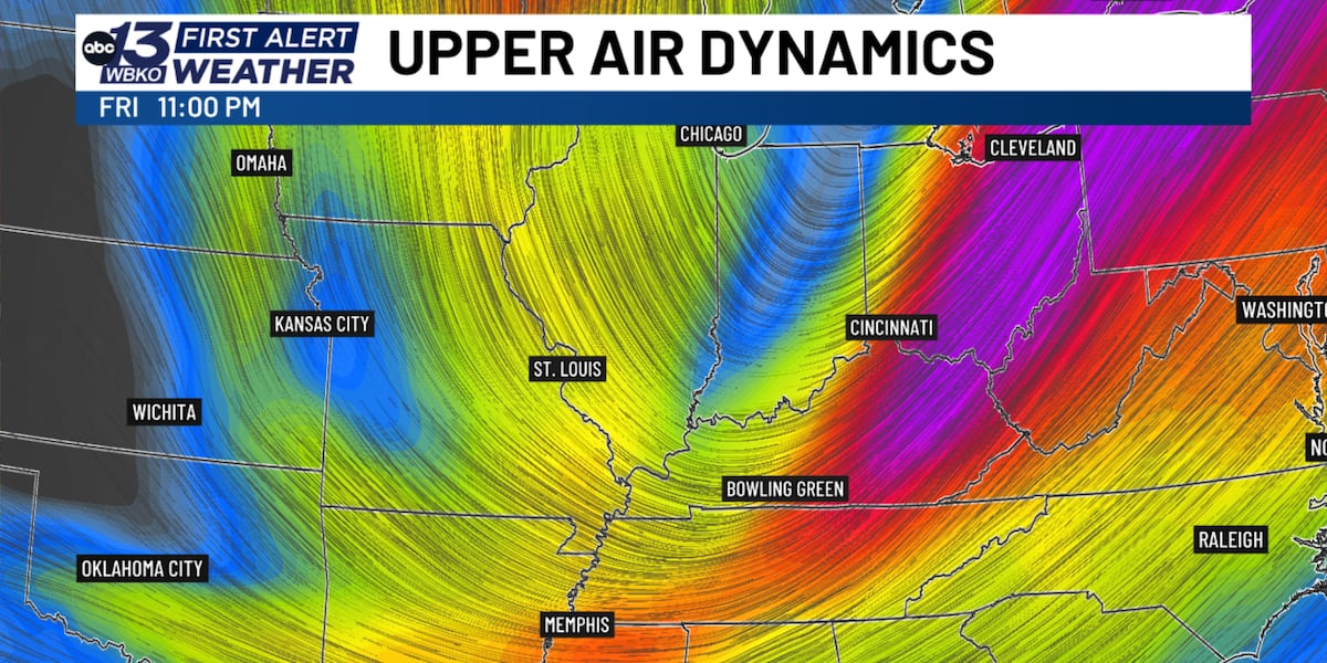 Jet stream dip brings dramatic fall temperature drop to South Central Kentucky
BOWLING GREEN, Ky. (WBKO) - If you’ve been enjoying the unusually warm fall weather, get ready for a dramatic shift. A significant dip in the jet stream will send a strong cold front through south central Kentucky…
-
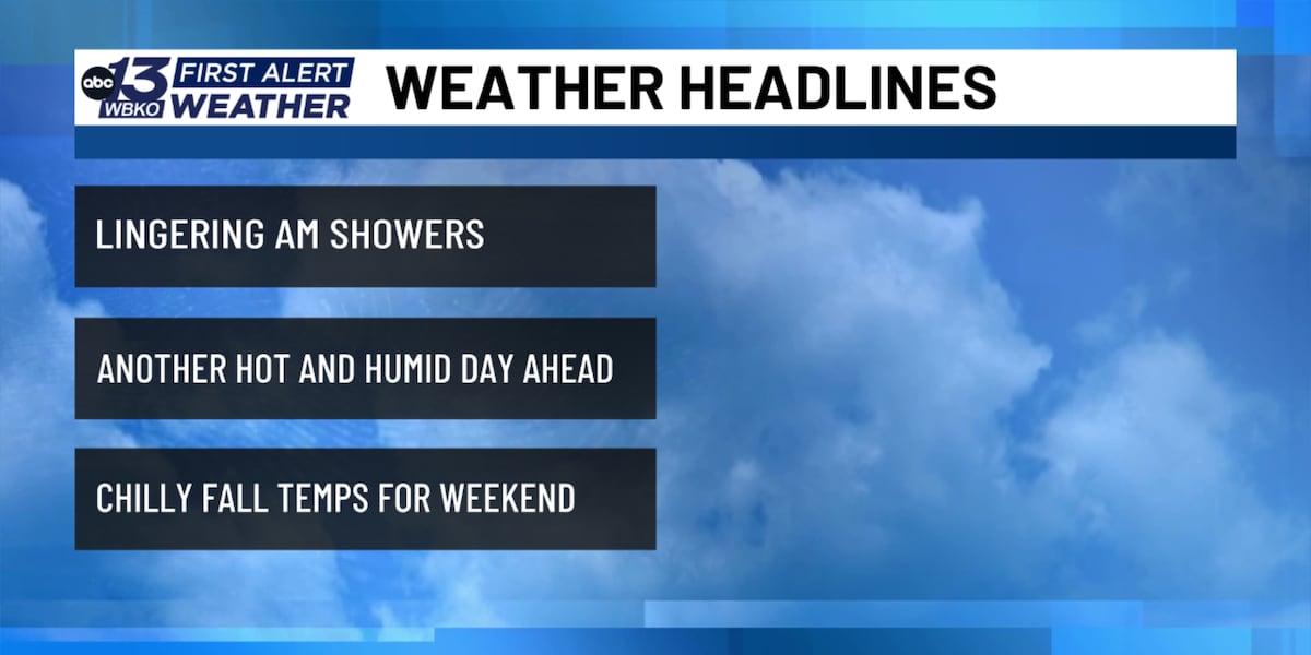 More heat today, sharp cooldown tomorrow
WBKO BOWLING GREEN, Ky. (WBKO) - Conditions begin to dry up but clouds still linger headed into the mid-morning. Headed into the afternoon, the sun will heat us up to the low 90s across the region. This could be a…
-
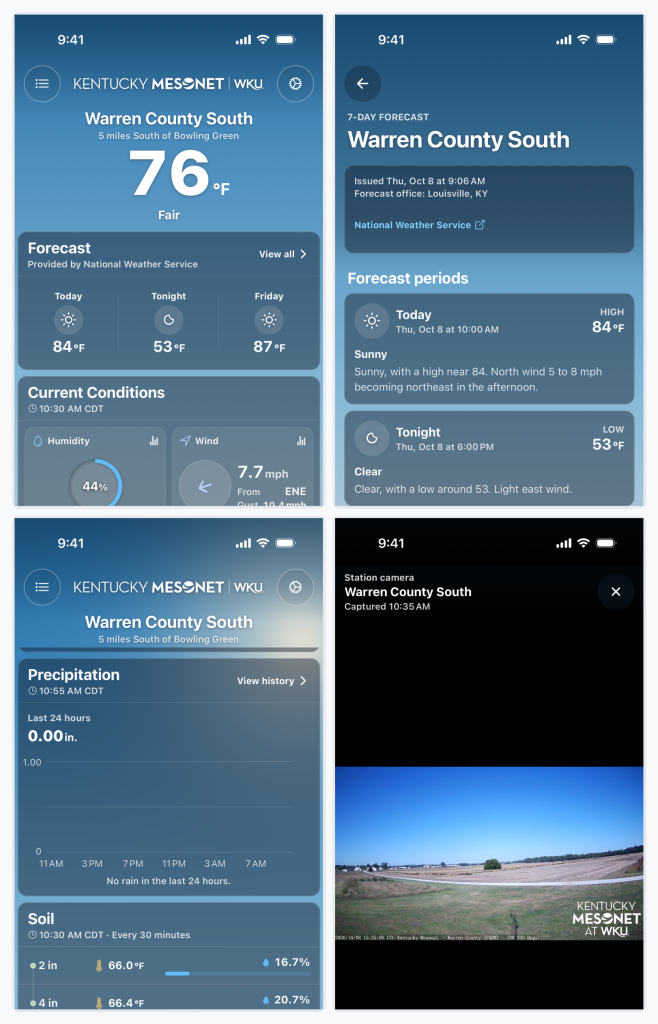 Kentucky Mesonet app adds historical weather data, soil conditions and camera timelapses
BOWLING GREEN, Ky. — The Kentucky Mesonet at Western Kentucky University has updated its mobile app with a redesigned interface and new tools that allow users to review historical weather data, monitor soil conditions…
-
 October sees hot temperatures but we will see a cool down
WBKO October sees hot temperatures but we will see a cool down Community gathers to remember longtime WKU coach Jim Richards Special phenomenon seen across the sky early Tuesday morning. What was it? Free ‘Healthy…
- A meteor shower from Halley’s Comet peaks over Kentucky tonight. When to see it
A full “hunter’s moon” will soon peak over Kentucky, along with an upcoming meteor shower from Halley’s Comet. The Orionid meteor shower will peak Wednesday night into Thursday morning, according to NASA. “The Orionids…
- Here’s what the Super El Niño has in store for Kentucky this winter
Lexington Herald Leader Forecasters are pointing to a colder-than-normal winter for Kentucky, with a strengthening El Niño potentially sharpening the chill. Here’s a quick look at what Lexington and the broader region…
- Kentucky Winter 2026-27: Louisville, 13.89-Inch Snow History
NOAA's historical El Niño snowfall analysis from 1950–2009 shows mixed snowfall departures across Kentucky and neighboring states, without establishing a consistent statewide increase or decrease. Why El Niño Doesn't…
-
 Farmer’s Almanac Drops Thanksgiving Forecast and If It’s Correct, Folks in Indiana & Kentucky Should Get Their Snow Shovels Ready
In the past several years, Thanksgiving weather has been pretty warm. I don't recall the last time I saw snow on Thanksgiving in the Tri-State. We even spent Thanksgiving outside like a picnic a few years ago because it…
Air quality
Air quality is satisfactory, and air pollution poses little or no risk.
Bowling Green, KY reporting area · 2 hrs ago. Data from AirNow (EPA and its state, local and tribal partners); preliminary and subject to change.
Sun & moon
Almanac
MonthlyBowling Green Warren County Ap, records since 1893. Normals 1991–2020. Data from NOAA's Regional Climate Centers (ACIS).
Nearby
- Glasgow 43 km
- Portland 44 km
- White House 60 km
- Franklin 32 km
- Oak Grove 53 km
- Russellville 46 km
- Leitchfield 58 km
- Lafayette 59 km
- Scottsville 30 km
- Morgantown 39 km
- Cave City 43 km
- Horse Cave 49 km
Forecasters' discussion
From the National Weather Service office in LMK, issued 2 hrs ago
Key Messages
* Locally dense river valley fog is possible early this morning.
* Patchy frost will be possible early Friday and Saturday mornings, mainly in sheltered rural areas.
* Dry weather and consistent temperatures are expected through next Wednesday.
Discussion
Issued at 329 AM EDT Thu Oct 22 2026
Another calm, clear night is producing optimal conditions for radiational cooling. Temperatures are in the 40s in most areas and will continue to settle into the upper 30s and lower 40s through daybreak. Our coolest rural, sheltered low spots in the Bluegrass and Lake Cumberland regions could see mid 30s and patchy frost early this morning.
Recent satellite imagery shows the development of river valley fog across eastern KY, a trend that will expand into central KY through the pre-dawn hours. The fog may become locally dense between 5-9 AM EDT, mainly along the river valleys. Fog should largely dissipate by mid-morning, and another round of valley fog looks likely early Friday.
Our stretch of spectacular weather continues today. An upper level ridge is positioned over the central CONUS, with upper troughing over each coast. Broad high pressure at the surface, centered off to our N and NW, is contributing to a dry airmass and persistent NE low- level flow. In the short term, the upper level ridge is forecast to drift slowly eastward toward the MS Valley while sfc high pressure strengthens as it shifts southeast across the eastern US and Canada. Ridging, both at the surface and aloft, will then build over our region through the weekend and into early next week.
Stubborn high pressure and a notably dry airmass give us high confidence in dry weather through next Wednesday. In short, largely dry weather is likely through the last several days of October. Temperatures will be fairly steady over the next week as well, with afternoon highs ranging from the upper 60s and lower 70s in the Bluegrass to the low/mid 70s elsewhere. Overnight temps will dip into the upper 30s to mid 40s. Friday and Saturday mornings both have patchy frost potential, especially in rural, low-lying areas.
It is unclear when our next chance for appreciable rainfall will be. A frontal system could bring a brief shot for light rain by late next week or over Halloween weekend, but confidence in this is very low at this time. Again, mainly dry weather is expected through the end of the month.
Aviation
Issued at 151 PM EDT Thu Oct 22 2026
VFR conditions are expected to prevail through the TAF period. Winds this afternoon will be out of the NNE at 5-10 kt, diminishing after sunset. Winds will shift to more of an easterly direction Thursday night, with speeds getting up to around 7 kt by the end of the TAF period. Patchy valley fog is possible tonight, though confidence was too low to include in any of the TAFs.
Lmk Watches
KY...None. IN...None.
Forecasts, observations and alerts in the United States come from the National Weather Service (NOAA); radar from NOAA's Multi-Radar Multi-Sensor system; satellite imagery from NASA's Global Imagery Browse Services (GIBS) and NOAA's GOES satellites; the map from the U.S. Geological Survey's National Map; air quality from AirNow (EPA and its partners); hurricane information from the National Hurricane Center; climate normals and records from NOAA's Regional Climate Centers (ACIS). Forecasts outside the United States and the UV index: MET Norway (CC BY 4.0); observations outside the U.S.: airport reports via NOAA's Aviation Weather Center. Place names: GeoNames (CC BY 4.0). Data are copied on a schedule and may lag the sources; for warnings that affect your safety, follow your local National Weather Service office and emergency officials. Weather news is drawn from the 4Conservative index and reflects what the press published. Terms of use.