Install
Jackson, KY 41339 Weather
Current conditions
Forecast for this hour (no station report in the last two hours)
Forecast
10-day-
Tonight
Clear. Low around 44, with temperatures rising to around 47 overnight. Wind around 0 mph.
-
Thursday
Sunny. High near 69, with temperatures falling to around 68 in the afternoon. North wind around 2 mph.
-
Thursday Night
Clear. Low around 43, with temperatures rising to around 47 overnight. Northeast wind around 2 mph.
National Weather Service forecast updated 5 hrs ago.
Hourly
Hourly forecast- Now51°
- 3 AM50°
- 4 AM48°
- 5 AM47°
- 6 AM45°
- 7 AM44°
- 8 AM44°
- 9 AM46°
- 10 AM51°
- 11 AM57°
- 12 PM62°
- 1 PM65°
- 2 PM68°
- 3 PM68°
- 4 PM69°
- 5 PM68°
- 6 PM64°
- 7 PM59°
- 8 PM58°
- 9 PM57°
- 10 PM55°
- 11 PM54°
- Fri12 AM53°
- 1 AM52°
10-day forecast
Details- TonightOct 21Clear44°
- TodayOct 22Sunny43°69°
- FriOct 23Sunny39°67°
- SatOct 24Sunny42°70°
- SunOct 25Sunny43°69°
- MonOct 26Sunny45°70°
- TueOct 27Partly Sunny47°69°
- WedOct 28Partly Sunny69°
- ThuOct 29Sunny44°66°
- FriOct 30Partly cloudy40°69°
Days after the National Weather Service's seven are MET Norway's outlook, a computer model with no forecaster's review.
Radar
Full mapWeather news near Jackson
More weather news-
 Increasing Clouds, Warm And Humid
A warmer start to Wednesday. Temps are in the lower to middle 70s. Increasing Clouds, Warm And Humid JACKSON, Tenn. (WBBJ) - A warmer start to Wednesday. Temps are in the lower to middle 70s. There are a few patches of…
- A meteor shower from Halley’s Comet peaks over Kentucky tonight. When to see it
A full “hunter’s moon” will soon peak over Kentucky, along with an upcoming meteor shower from Halley’s Comet. The Orionid meteor shower will peak Wednesday night into Thursday morning, according to NASA. “The Orionids…
- Here’s what the Super El Niño has in store for Kentucky this winter
Lexington Herald Leader Forecasters are pointing to a colder-than-normal winter for Kentucky, with a strengthening El Niño potentially sharpening the chill. Here’s a quick look at what Lexington and the broader region…
- Kentucky Winter 2026-27: Louisville, 13.89-Inch Snow History
NOAA's historical El Niño snowfall analysis from 1950–2009 shows mixed snowfall departures across Kentucky and neighboring states, without establishing a consistent statewide increase or decrease. Why El Niño Doesn't…
-
 Farmer’s Almanac Drops Thanksgiving Forecast and If It’s Correct, Folks in Indiana & Kentucky Should Get Their Snow Shovels Ready
In the past several years, Thanksgiving weather has been pretty warm. I don't recall the last time I saw snow on Thanksgiving in the Tri-State. We even spent Thanksgiving outside like a picnic a few years ago because it…
-
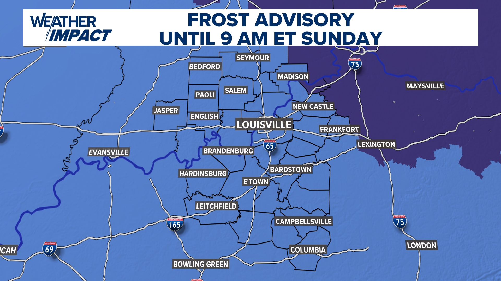 Frost Advisory Saturday night for Kentucky, southern Indiana
WHAS11 Frost Advisory Saturday night for Kentucky, southern Indiana Cover any sensitive vegetation in a cloth and bring in potted plants. The last time Louisville has a freeze was March 18, 2026. The normal first frost…
-
 NOAA’s Winter Outlook Has Good and Bad News for Kentucky and Indiana
The National Oceanic and Atmospheric Administration (NOAA) has released its U.S. winter outlook for 2026-2027, and it looks like El Niño will be a star player, for better or worse. And by that I mean there will be doses…
-
 Temperatures drop across South Central Kentucky
WBKO Temperatures drop across South Central Kentucky
-
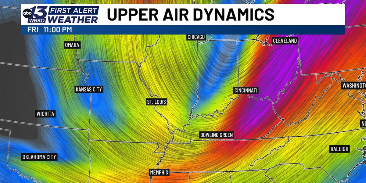 Jet stream dip brings dramatic fall temperature drop to South Central Kentucky
BOWLING GREEN, Ky. (WBKO) - If you’ve been enjoying the unusually warm fall weather, get ready for a dramatic shift. A significant dip in the jet stream will send a strong cold front through south central Kentucky…
-
 Kentucky Weather: Rain Leads the Way Before Cooler Air Arrives
Rain takes center stage in Kentucky today as a system moves through the state ahead of a noticeable cooling trend. FOX 56 News reports that showers will dominate the forecast before temperatures drop in the coming days…
Air quality
Air quality is satisfactory, and air pollution poses little or no risk.
Hazard, KY reporting area · 1 hr ago. Data from AirNow (EPA and its state, local and tribal partners); preliminary and subject to change.
Sun & moon
Almanac
MonthlyQuicksand, records since 1925. Normals 1991–2020. Data from NOAA's Regional Climate Centers (ACIS).
Nearby
- Hazard 28 km
- Paintsville 56 km
- Prestonsburg 50 km
- West Liberty 48 km
- Whitesburg 58 km
Forecasters' discussion
From the National Weather Service office in JKL, issued 11 hrs ago
Key Messages
- Dry weather with mainly clear skies, mild days, and chilly nights will persist into early next week.
- Light, patchy frost may develop early this morning and again late tonight in sheltered valleys away from lakes, rivers, and larger creeks.
Long Term
(Friday through Wednesday) Issued at 235 PM EDT WED OCT 21 2026
At the beginning of the long term period, an expansive and highly amplified midlevel ridge will be located over the central CONUS; meanwhile, deep troughing will be digging into the western CONUS, with another trough over the East Coast, associated with a deep closed low off the coast of Maine and another coastal impulse near the Outer Banks. Although this troughing will shift over time, such an amplified ridge in the middle of the country, this setup will lead to a very stagnant weather pattern locally.
At the surface, eastern Kentucky will find itself under the influence of persistent high pressure, which should keep weather quite uneventful through early next week. Each day, ample sunshine will allow high temperatures to climb into the upper 60s to low 70s, and each night, clear skies and light winds will allow for moderate ridge/valley temperature splits to develop. MOS guidance suggests that lows in the valleys will generally bottom out in the upper 30s to low 40s, and given such a dry air mass, this magnitude of cooling seems reasonable. In fact, raw NBM dewpoints are likely too moist given relatively dry air just above the surface, especially in the absence of appreciable moisture advection. Thus, a drier dewpoint blend was favored, with resultant dewpoints in the low to mid 40s during the day, much more in line with ensemble guidance. As usual, as our valleys cool efficiently overnight, fog formation is expected.
By early next week, an upper level low from the West Coast will approach the central CONUS ridge. As these features interact, the ridge looks to flatten, and by Tuesday, flow aloft will be more southwesterly, which will work to increase mid and upper level moisture. Meanwhile, at the surface, an area of low pressure will progress through Canada, with a cold front draped across the Great Lakes region. This front will attempt to sag south towards eastern Kentucky, but with limited upper level support, it currently seems unlikely the front will reach our area by the end of the forecast period. Thus, the most consequential change in the pattern will likely be increased cloud cover on Tuesday and Wednesday.
Aviation
(For the 18Z TAFS through 18Z Thursday afternoon) ISSUED AT 104 PM EDT WED OCT 21 2026
VFR conditions roll on underneath nearby surface high pressure for much of the period. There will be the potential valley fog once again tonight mainly confined to the river valleys. The winds will remain light generally below 5 knots.
Jkl Watches
None.
Forecasts, observations and alerts in the United States come from the National Weather Service (NOAA); radar from NOAA's Multi-Radar Multi-Sensor system; satellite imagery from NASA's Global Imagery Browse Services (GIBS) and NOAA's GOES satellites; the map from the U.S. Geological Survey's National Map; air quality from AirNow (EPA and its partners); hurricane information from the National Hurricane Center; climate normals and records from NOAA's Regional Climate Centers (ACIS). Forecasts outside the United States and the UV index: MET Norway (CC BY 4.0); observations outside the U.S.: airport reports via NOAA's Aviation Weather Center. Place names: GeoNames (CC BY 4.0). Data are copied on a schedule and may lag the sources; for warnings that affect your safety, follow your local National Weather Service office and emergency officials. Weather news is drawn from the 4Conservative index and reflects what the press published. Terms of use.