Install
Lucedale, MS 39452 Weather
Current conditions
Observed at Moss Point - Trent Lott International Airport · 37 min ago
Forecast
10-day-
Friday
Sunny, with a high near 82. Northeast wind around 5 mph.
-
Friday Night
Clear, with a low around 51. East wind 5 to 10 mph.
-
Saturday
Sunny, with a high near 76. Northeast wind around 10 mph.
National Weather Service forecast updated 2 days ago.
Hourly
Hourly forecast- Now71°
- 12 PM75°
- 1 PM78°
- 2 PM81°
- 3 PM82°
- 4 PM81°
- 5 PM78°
- 6 PM74°
- 7 PM70°
- 8 PM66°
- 9 PM62°
- 10 PM59°
- 11 PM57°
- Sat12 AM57°
- 1 AM56°
- 2 AM55°
- 3 AM54°
- 4 AM53°
- 5 AM51°
- 6 AM51°
- 7 AM51°
- 8 AM55°
- 9 AM59°
- 10 AM64°
10-day forecast
Details- TonightOct 20Mostly Clear50°
- WedOct 21Sunny51°79°
- ThuOct 22Sunny50°81°
- TodayOct 23Sunny51°82°
- SatOct 24Sunny50°76°
- SunOct 25Sunny50°77°
- MonOct 26Mostly Sunny50°78°
- TueOct 27Sunny80°
- WedOct 28Sunny55°80°
- ThuOct 29Cloudy56°76°
Days after the National Weather Service's seven are MET Norway's outlook, a computer model with no forecaster's review.
Radar
Full mapWeather news near Lucedale
More weather news-
 Fog Is Gone — Gorgeous Wednesday Afternoon Ahead
Foggy start, sunny finish: What to know for your Wednesday drive WLOX FOG IS OUTTA HERE: That stubborn morning fog has cleared most areas as of midday Wednesday. What a difference — beautiful, sunny sky out there now…
- Tracking fog this morning, beautiful day ahead
WLOX Good Tuesday morning, Coastal Mississippi! Dense fog is making visibility drop to a quarter-mile or less in spots. Conditions can change quickly over short distances. If you’re driving, slow down, use low beams…
- Cool jackets Thursday morning, T-shirts by lunch! Perfect fall day ahead in South Mississippi
WLOX If you’re heading out the door Thursday morning, take a light jacket! Temps are running from the 40s and 50s inland to right around 60 on the coast. It’s that crisp, fall feel to start the day. Now, the bigger…
-
 The fall-like feel continues for South Mississippi
It’s already feeling a little cool tonight, and even more so by morning as temperatures fall back to the upper 40s and low 50s. Expect plenty of sunshine over the next several days, with afternoon highs mostly in the…
-
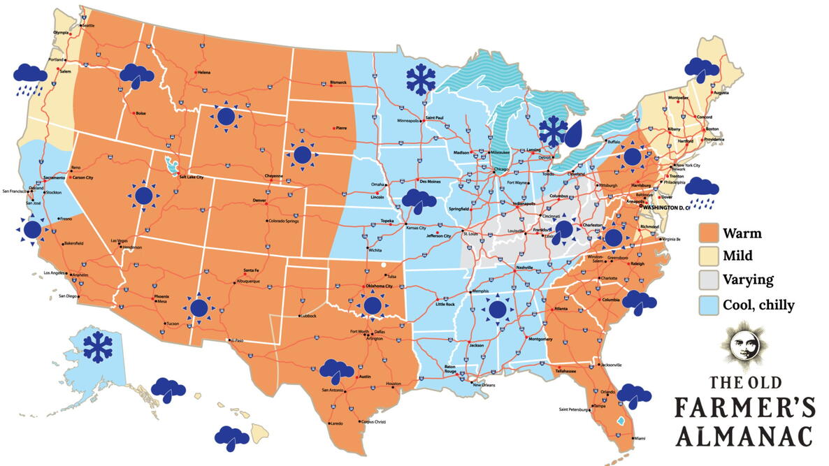 Old Farmer’s Almanac predicts Thanksgiving weather in Mississippi
The Old Farmer’s Almanac has released its weather forecast for Thanksgiving 2026, predicting a mix of sunshine, rain, and snow across the country. But what does the forecast have in store for Mississippi? According to…
-
 Your Mississippi forecast for Tuesday, October 20
Tuesday will be sunny and dry, and there's an elevated risk of fires across Mississippi. According to the Mississippi Forestry Commission, over 30 counties Tuesday will be sunny and dry, and there’s an elevated risk of…
-
 Clear nights and sunny skies on tap for south Mississippi
We are in for a beautiful stretch of fall weather this week, with plenty of sunshine and comfortable temperatures expected through early next week. Tuesday through Friday will bring sunny skies and highs near 80…
-
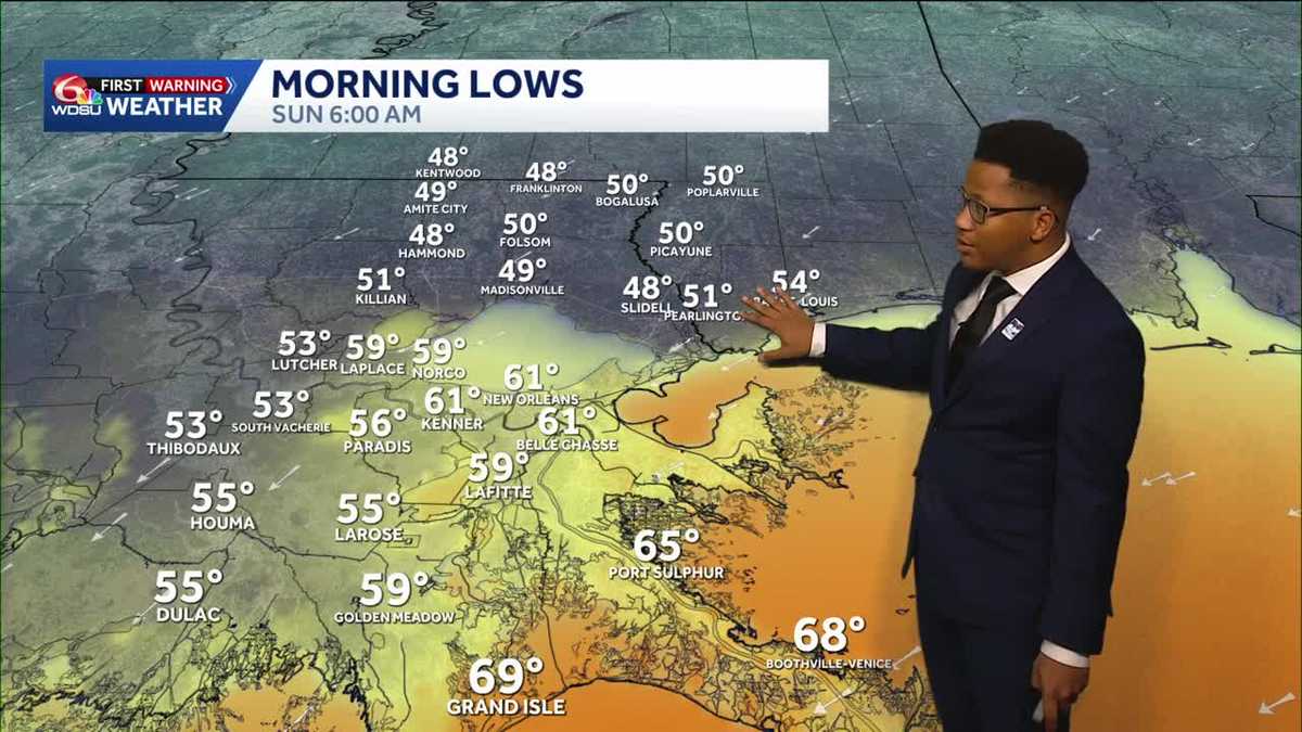 Chilly mornings return to Southeast Louisiana and Coastal Mississippi's weather forecast
Thanks to Friday's cold front, cooler air continues to move into the Deep South, including Southeast Louisiana and Coastal Mississippi. Temperatures across the Northshore Sunday morning will fall to the upper 40s and…
-
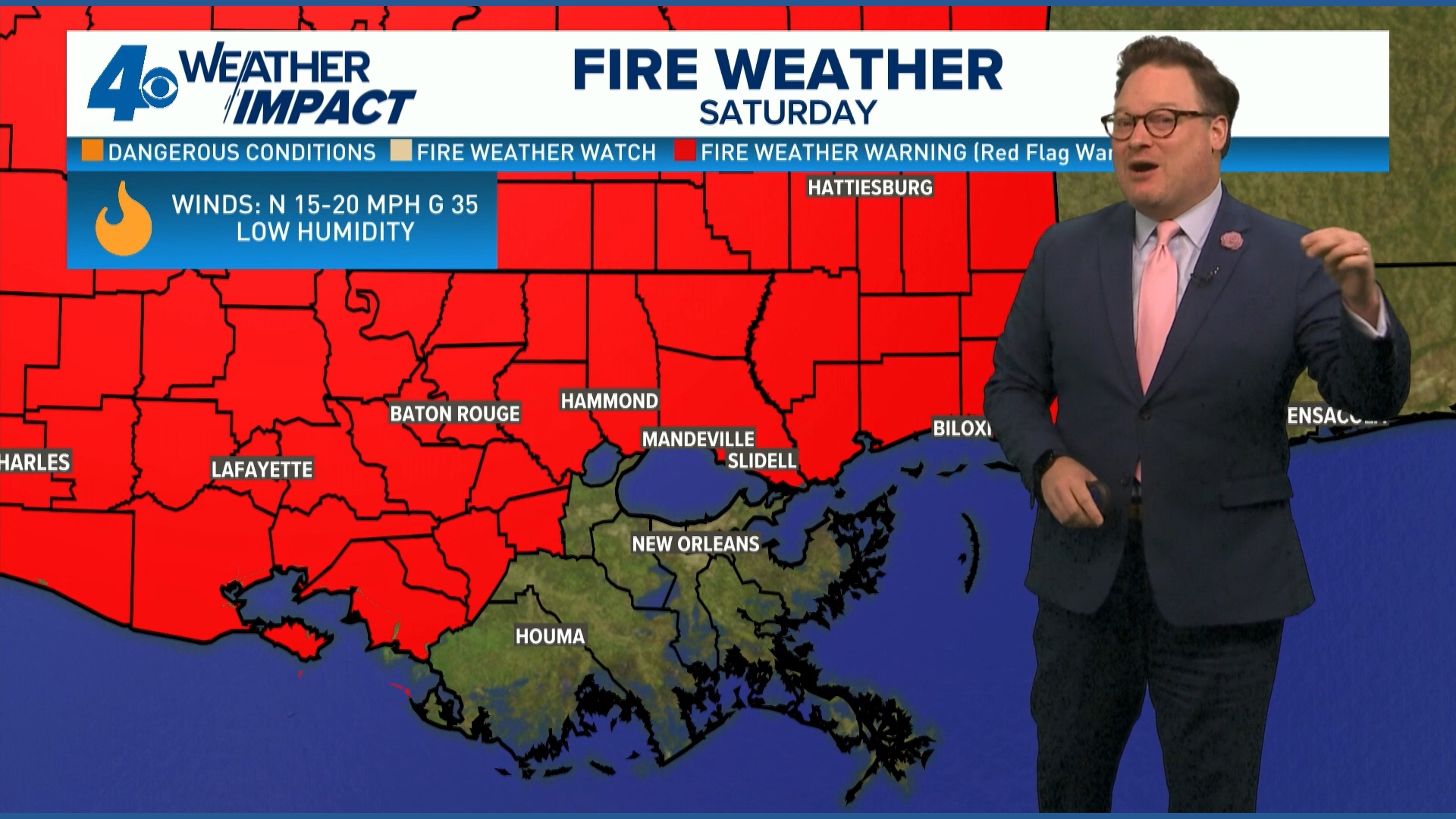 Red Flag Warning issued for parts of southeast Louisiana, southern Mississippi ahead of dry conditions
The National Weather Service has issued a Red Flag Warning for parts of southeast Louisiana and all of southern Mississippi on Friday. The warning is in effect from 9 a.m. until 8 p.m. on Saturday as forecasters say a…
-
 Ready for Old Man Winter? Early preparations begin in Mississippi
As El Niño looms over the U.S. -- the National Oceanic and Atmospheric Administration predicts an early winter for Mississippians. So, Twin States News spoke to people in the Meridian area about how they're preparing…
Air quality
Air quality is satisfactory, and air pollution poses little or no risk.
Forecast
- FriModerate (74)
Mobile, AL reporting area · 1 hr ago. Data from AirNow (EPA and its state, local and tribal partners); preliminary and subject to change.
Sun & moon
Nearby
- Biloxi 57 km
- Prichard 56 km
- Pascagoula 56 km
- Gautier 54 km
- Ocean Springs 53 km
- Tillmans Corner 55 km
- Saraland 55 km
- Moss Point 52 km
- D'Iberville 54 km
- Saint Martin 52 km
- Gulf Hills 52 km
- Satsuma 57 km
Forecasters' discussion
From the National Weather Service office in MOB, issued 11 hrs ago
Key Messages
Issued at 1203 AM CDT Fri Oct 23 2026
- Moderate to strong northeast winds will create hazardous conditions for small craft over most of the marine area Friday night continuing into early next week.
- A High Risk of rip currents is expected for beach areas from Saturday morning through Monday night.
Discussion
Issued at 936 PM CDT Thu Oct 22 2026
Dry, seasonable to slightly below seasonable norms continues for the foreseeable future across the region. Temperatures generally stay in the middle to upper 70's most days, with the warmest day being today where some spots may see lower 80's. Overnight lows stay chilly in the middle to upper 40's over the interior and lower 50's near the coast.
We remain on the western periphery of upper troughing the next couple days before upper ridging begins moving in overhead. A reinforcing shot of cool, dry air comes in from the northeast Friday into the weekend as Cold Air Damming sets up across the Carolinas and spills southwest into our area. This will keep things quite dry with some fire weather concerns materializing this weekend as winds strengthen Saturday into Sunday. While winds won't be particularly strong, wind gusts of 20 to 30mph can't be ruled out this weekend across the area which could cause localized issues with any weakened/damaged trees across south- central Alabama into the western Florida Panhandle. Winds and any lingering fire danger should relax into early next week, with more or less the same temperatures and dry forecast anticipated as we head through the first half of the week. A Low risk of rip currents today will become moderate tonight. The risk rapidly increases into daybreak Saturday, with a High risk for rip currents becoming established Saturday morning, lingering through the day Monday. The risk will gradually tape into the middle of the week. MM/25
Aviation
(06Z TAFS) Issued at 1203 AM CDT Fri Oct 23 2026
General VFR conditions expected through the forecast. Light winds overnight transition to easterly 5 to 10 knots Friday morning. /16
Marine
Issued at 936 PM CDT Thu Oct 22 2026
Light to moderate easterly to northeasterly winds this morning gradually become moderate to strong this evening into tonight, remaining that way through at least Monday. Moderate easterly to northeasterly flow prevails Tuesday into the middle of next week. Seas increase to 4 to 8 feet Saturday into Sunday, gradually tapering to 3 to 4 feet by Tuesday. A Small Craft Advisory remains in effect from 1am Saturday through 1am Monday. MM/25
Forecasts, observations and alerts in the United States come from the National Weather Service (NOAA); radar from NOAA's Multi-Radar Multi-Sensor system; satellite imagery from NASA's Global Imagery Browse Services (GIBS) and NOAA's GOES satellites; the map from the U.S. Geological Survey's National Map; air quality from AirNow (EPA and its partners); hurricane information from the National Hurricane Center; climate normals and records from NOAA's Regional Climate Centers (ACIS). Forecasts outside the United States and the UV index: MET Norway (CC BY 4.0); observations outside the U.S.: airport reports via NOAA's Aviation Weather Center. Place names: GeoNames (CC BY 4.0). Data are copied on a schedule and may lag the sources; for warnings that affect your safety, follow your local National Weather Service office and emergency officials. Weather news is drawn from the 4Conservative index and reflects what the press published. Terms of use.