Install
Signal Mountain, TN 37377 Weather
Current conditions
Forecast for this hour (no station report in the last two hours)
Forecast
10-day-
Today
Mostly sunny, with a high near 71. Northeast wind around 5 mph.
-
Tonight
Clear, with a low around 49. Northeast wind 0 to 5 mph.
-
Wednesday
Sunny, with a high near 72. Southeast wind 0 to 5 mph.
National Weather Service forecast updated 9 hrs ago.
Hourly
Hourly forecast- Now67°
- 5 PM69°
- 6 PM65°
- 7 PM61°
- 8 PM60°
- 9 PM55°
- 10 PM54°
- 11 PM51°
- Wed12 AM51°
- 1 AM51°
- 2 AM50°
- 3 AM50°
- 4 AM50°
- 5 AM49°
- 6 AM49°
- 7 AM49°
- 8 AM49°
- 9 AM51°
- 10 AM55°
- 11 AM59°
- 12 PM62°
- 1 PM64°
- 2 PM68°
- 3 PM69°
10-day forecast
Details- TodayOct 20Mostly Sunny49°71°
- WedOct 21Sunny49°72°
- ThuOct 22Sunny50°71°
- FriOct 23Sunny48°70°
- SatOct 24Sunny47°67°
- SunOct 25Sunny48°67°
- MonOct 26Mostly Sunny50°70°
- TueOct 27Mostly sunny49°72°
- WedOct 28Cloudy52°70°
- ThuOct 29Cloudy52°71°
Days after the National Weather Service's seven are MET Norway's outlook, a computer model with no forecaster's review.
Radar
Full mapWeather news in Tennessee
More weather news-
 Another nice fall day on tap for the Tennessee Valley
Local 3 News Good morning! We are waking up to quiet conditions and chilly temperatures in the 30s and 40s. Highs will rebound to the mid 70s this afternoon, with plenty of sunshine. It is shaping up to be another…
-
 Beautiful weather worsens drought in Middle Tennessee
WSMV Beautiful weather worsens drought in Middle Tennessee Here's how and when to see shooting stars this week in Middle Tennessee Why the beautiful weather in Middle Tennessee isn't necessarily a good thing Searching…
-
 Back-to-back months land in weather record books for Middle Tennessee
NASHVILLE, Tenn. (WSMV) - The next heat wave will hold off until 2027. September and October have been super unusual for weather across Middle Tennessee. Both months have hosted persistent, extreme heat at times. Both…
-
 Why the beautiful weather in Middle Tennessee isn't necessarily a good thing
WSMV Why the beautiful weather in Middle Tennessee isn't necessarily a good thing Here's how and when to see shooting stars this week in Middle Tennessee First Alert Weather Video Searching for rain -- here's what we…
- First Alert Forecast: Feeling like Fall all week in Middle Tennessee
NASHVILLE, Tenn. (WSMV) - A beautiful but dry week is in store for Middle Tennessee. After a chilly start this morning, it should be a very pleasant afternoon with a mostly sunny sky and temperatures in the upper 60s to…
-
 First Alert Forecast: Fall-like feel sticks around into the work week for Middle Tennessee
NASHVILLE, Tenn. (WSMV) - Chilly mornings will persist this week. After a chilly start this morning, it’s going to be a very pleasant afternoon with a mostly sunny sky and temperatures in the upper 60s to near 70. It…
- First fall frost possible this weekend for part of Middle Tennessee
NASHVILLE, Tenn. (WZTV) — Cooler weather is setting in as Nashville sees it's first chill of the fall season. Temperatures are dropping below what’s typical for this time of year and some neighborhoods might even see…
-
 First Alert Forecast: Patchy frost possible Sunday morning in Middle Tennessee.
Breezy & brisk start to the weekend with sunny skies expected Saturday and Sunday. Some areas could wake up to patchy frost Sunday morning before temperatures warm next week. NASHVILLE, Tenn. (WSMV) - Brisk and breezy…
-
 First Alert Forecast: Chilly weather returns to Middle Tennessee
NASHVILLE, Tenn. (WSMV) - Get ready to bundle up the next few mornings! This morning we’ll wake up in the 60s to near 70s, but the temperatures are expected to FALL through the afternoon and by 3 to 4 p.m. we’ll be in…
-
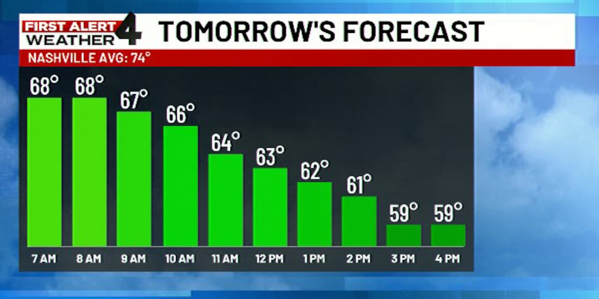 First Alert Forecast: Cold front expected to howl across Middle Tennessee tomorrow
WSMV NASHVILLE, Tenn. (WSMV) - Here comes the cold front! After another afternoon of record setting heat Thursday big changes are still expected Friday as a windy cold front howls through. Download the WSMV 4 First…
Air quality
Air quality is satisfactory, and air pollution poses little or no risk.
Forecast
- TueGood (50)
- WedGood (50)
- ThuModerate (51)
Chattanooga, TN reporting area · 1 hr ago. Data from AirNow (EPA and its state, local and tribal partners); preliminary and subject to change.
Sun & moon
Almanac
MonthlyChattanooga Area, records since 1879. Normals 1991–2020. Data from NOAA's Regional Climate Centers (ACIS).
Nearby
- Chattanooga 12 km
- East Chattanooga 12 km
- Cleveland 42 km
- Dalton 54 km
- East Ridge 17 km
- East Brainerd 24 km
- Soddy-Daisy 16 km
- Middle Valley 15 km
- Red Bank 6 km
- Collegedale 28 km
- Fort Oglethorpe 23 km
- Harrison 18 km
Forecasters' discussion
From the National Weather Service office in MRX, issued 9 hrs ago
Key Messages
Updated at 715 AM EDT Tue Oct 20 2026
- Dry weather dominates the forecast period, with cool mornings and pleasant afternoons each day. Afternoon relative humidity will remain on the lower side as well.
Discussion
Issued at 138 AM EDT Tue Oct 20 2026
Isolated patchy frost for parts of far northeast TN and southwest VA this morning. Increasing morning lows will diminish the potential for frost development for most. However, dense fog near waterways could be possible with colder air over top warmer waters in lakes and rivers.
For the week ahead, longwave troughing will remain well into Canada with ridging poking north between a closed upper low off of the Mid- Atlantic and another closed low off of the west coast. A pseudo- Omega block pattern. The western low eventually phases with the mean flow, meanwhile the Atlantic one expected to bring coastal issues to parts of the Eastern Seaboard due to hardly any movement, will become enveloped and shunted east towards the end of the week. No impacts here except persistent upper level ridging and surface high pressure.
Highs will remain in the low to mid (some upper) 70s range the rest of the forecast period into early next week. A general wash/rinse/repeat each day with light winds, mostly sunny/clear skies, low humidity, and no precipitation for at least the foreseeable future.
Aviation
(12Z TAFS) Issued at 715 AM EDT Tue Oct 20 2026
VFR TAFs expected to continue with persistence the rule. A weak impulse to bring high clouds today but no concerns. Cannot rule out a weak gust at KCHA, but winds expected to remain light otherwise.
Preliminary Point Temps
Chattanooga Airport, TN 74 49 76 49 / 0 0 0 0 Knoxville McGhee Tyson Airport, TN 75 46 76 45 / 0 0 0 0 Oak Ridge, TN 75 47 76 46 / 0 0 0 0 Tri Cities Airport, TN 74 40 74 40 / 0 0 0 0
Forecasts, observations and alerts in the United States come from the National Weather Service (NOAA); radar from NOAA's Multi-Radar Multi-Sensor system; satellite imagery from NASA's Global Imagery Browse Services (GIBS) and NOAA's GOES satellites; the map from the U.S. Geological Survey's National Map; air quality from AirNow (EPA and its partners); hurricane information from the National Hurricane Center; climate normals and records from NOAA's Regional Climate Centers (ACIS). Forecasts outside the United States and the UV index: MET Norway (CC BY 4.0); observations outside the U.S.: airport reports via NOAA's Aviation Weather Center. Place names: GeoNames (CC BY 4.0). Data are copied on a schedule and may lag the sources; for warnings that affect your safety, follow your local National Weather Service office and emergency officials. Weather news is drawn from the 4Conservative index and reflects what the press published. Terms of use.