Install
Fayette, AL 35555 Weather
Current conditions
Forecast for this hour (no station report in the last two hours)
Forecast
10-day-
Today
Sunny. High near 80, with temperatures falling to around 76 in the afternoon. North wind 5 to 10 mph.
-
Tonight
Clear, with a low around 44. Northeast wind around 5 mph.
-
Friday
Sunny, with a high near 79. East wind 0 to 5 mph.
National Weather Service forecast updated 6 hrs ago.
Hourly
Hourly forecast- Now74°
- 1 PM76°
- 2 PM78°
- 3 PM78°
- 4 PM79°
- 5 PM76°
- 6 PM71°
- 7 PM67°
- 8 PM59°
- 9 PM57°
- 10 PM55°
- 11 PM54°
- Fri12 AM52°
- 1 AM51°
- 2 AM50°
- 3 AM49°
- 4 AM47°
- 5 AM46°
- 6 AM45°
- 7 AM44°
- 8 AM47°
- 9 AM54°
- 10 AM64°
- 11 AM69°
10-day forecast
Details- TodayOct 22Sunny44°80°
- FriOct 23Sunny43°79°
- SatOct 24Sunny43°75°
- SunOct 25Sunny43°73°
- MonOct 26Mostly Sunny43°74°
- TueOct 27Mostly Sunny44°76°
- WedOct 28Mostly Sunny44°77°
- ThuOct 29Mostly sunny49°77°
- FriOct 30Partly cloudy49°70°
- SatOct 31Cloudy45°72°
Days after the National Weather Service's seven are MET Norway's outlook, a computer model with no forecaster's review.
Radar
Full mapWeather news near Fayette
More weather news-
 Another frosty night in the Pittsburgh area
It will be another frosty night across the entire area, with temperatures dropping back down into the 30s tonight. Another frosty night in the Pittsburgh area PITTSBURGH â It will be another frosty night across the…
-
 Coldest morning since spring gives way to warmer, dry week
Once the sun rises, weâll warm up in a hurry with highs pushing into the low 60s. Coldest morning since spring gives way to warmer, dry week PITTSBURGH â Itâs the coldest morning since spring with temperatures…
- From Frost to Flip-Flops: St. Louis Warms to Sunny 80-Degree Week
St. Louis is waking up to a chilly 38-degree start Sunday, but the day will quickly turn into a classic fall rebound. Skies will stay clear, sunshine will dominate, and temperatures will climb to around 69 degrees by…
- St. Louis Weather Forecast Friday Through Thursday
St. Louis is trading late-summer warmth for a blustery fall reset Friday: mostly cloudy skies, a high near 55, and northwest winds around 17 mph with gusts up to 33 mph. A few rain showers could move through after 3…
-
 Sunday starts with frost
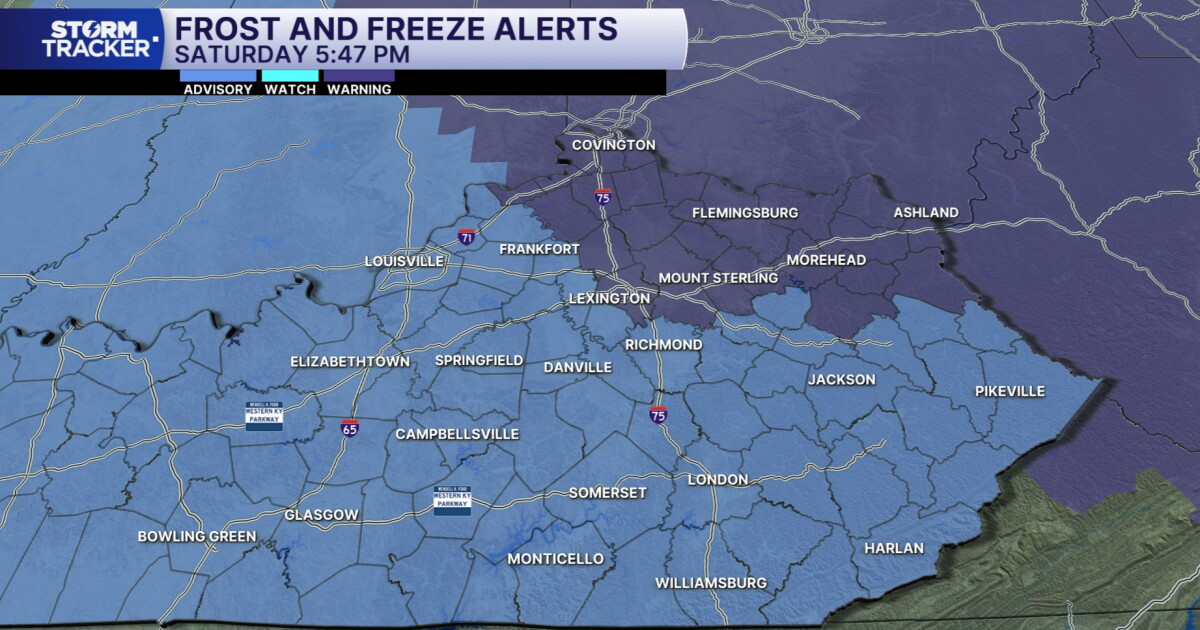
LEX 18 News This weekend got underway with several clouds, but the sunshine returned late this afternoon and now we are in for nothing but sunshine in the coming days Temperatures tonight will tumble to the low to mid…
-
 Temperatures plunge below freezing in many areas tonight; Freeze Warning in effect
Temperatures will plunge below freezing in many areas tonight, leading to a Freeze Warning for the entire area. Many locations will wake up with temperatures in the 20s to start the day. Temperatures plunge below…
-
 Frost and Freeze Warnings tonight before sunshine returns Sunday
The bigger story, however, will be tonight as temperatures drop even further, bringing the potential for frost and freezing conditions across the region. We'll gradually see more sunshine return throughout Saturday as…
-
 Chilly weekend, with frost possible tonight
LEXINGTON, Ky. (WKYT) - Temperatures plummeted yesterday, and we are in for a cool weekend. The good news is that once skies clear, there will be plenty of sunshine for over a week. Today will be the coolest day for at…
- Lexington may get its first frost of the season. How cold will it get?
There are chances of frost in Lexington over the weekend, as an incoming cold front is expected to drop temperatures near the freezing point, according to the National Weather Service. The cold front has gradually…
-
 Lexington Urges Residents to Prepare for Weekend Frost
Open source local news · Lexington, Kentucky · Saturday, October 17, 2026 LEXINGTON, Ky. — Lexington residents should prepare for possible frost this weekend as a cold front moves through the area, according to a notice…
Air quality
Air quality is satisfactory, and air pollution poses little or no risk.
Tuscaloosa, AL reporting area · 1 hr ago. Data from AirNow (EPA and its state, local and tribal partners); preliminary and subject to change.
Sun & moon
Almanac
MonthlyFayette, records since 1892. Normals 1991–2020. Data from NOAA's Regional Climate Centers (ACIS).
Nearby
Forecasters' discussion
From the National Weather Service office in BMX, issued 5 hrs ago
Key Messages
Issued at 625 AM CDT THU OCT 22 2026
- Seasonable Conditions: Fair weather with warm afternoons and cool mornings is expected through the next seven days.
Discussion
(Thursday through next Wednesday) Issued at 1043 PM CDT WED OCT 21 2026
Dry and very pleasant weather continues the next 7 days. Mid- level ridging builds eastward over the area the next couple days. A cold air damming (CAD) wedge builds in Friday through the weekend in the wake of Subtropical Storm Josephine, resulting in slightly cooler high temperatures over the weekend. High temperatures trend upward slightly next week as the wedge weakens and a weakening shortwave trough and front approach the area. With little to no moisture return due to persistent high pressure at the surface, the forecast remains dry next week.
32/JDavis
Aviation
(12Z TAFS) Issued at 625 AM CDT THU OCT 22 2026
VFR TAFs are expected through the 24 hour forecast period with surface high pressure in place across much of the Eastern CONUS. Northerly winds this afternoon at 5 to 7 kts will become light to calm after 00Z.
Note: Fall seasonal issuance of the KASN Talladega TAF began on 10/18 00Z and will continue through 10/28 18Z.
16
Fire Weather
High pressure will allow us to maintain rain-free conditions with light winds for the rest of the week. Daytime MinRH values are forecast to be in the 20 to 35 percent range. Winds pick up slightly over the weekend. Given MinRH values and drying fuels, fire weather concerns will remain medium into the weekend.
Forecasts, observations and alerts in the United States come from the National Weather Service (NOAA); radar from NOAA's Multi-Radar Multi-Sensor system; satellite imagery from NASA's Global Imagery Browse Services (GIBS) and NOAA's GOES satellites; the map from the U.S. Geological Survey's National Map; air quality from AirNow (EPA and its partners); hurricane information from the National Hurricane Center; climate normals and records from NOAA's Regional Climate Centers (ACIS). Forecasts outside the United States and the UV index: MET Norway (CC BY 4.0); observations outside the U.S.: airport reports via NOAA's Aviation Weather Center. Place names: GeoNames (CC BY 4.0). Data are copied on a schedule and may lag the sources; for warnings that affect your safety, follow your local National Weather Service office and emergency officials. Weather news is drawn from the 4Conservative index and reflects what the press published. Terms of use.