Install
Fort Pierce, FL 34949 Weather
Current conditions
Observed at Witham Field Airport · 45 min ago
Forecast
10-day-
Tonight
Mostly clear, with a low around 74. North northeast wind 15 to 20 mph.
-
Wednesday
A slight chance of rain showers after 1pm. Mostly sunny, with a high near 80. North northeast wind 15 to 20 mph, with gusts as high as 25 mph. Chance of precipitation is 20%. New rainfall amounts between a tenth and quarter of an inch possible.
-
Wednesday Night
A chance of rain showers before 2am. Partly cloudy, with a low around 74. North northeast wind 15 to 20 mph, with gusts as high as 25 mph. Chance of precipitation is 30%. New rainfall amounts between a tenth and quarter of an inch possible.
National Weather Service forecast updated 1 hr ago.
Hourly
Hourly forecast- Now77°
- 1 AM76°11%
- 2 AM76°
- 3 AM76°
- 4 AM76°
- 5 AM74°
- 6 AM75°
- 7 AM75°
- 8 AM75°13%
- 9 AM76°14%
- 10 AM78°
- 11 AM79°12%
- 12 PM80°14%
- 1 PM80°17%
- 2 PM80°20%
- 3 PM80°22%
- 4 PM79°17%
- 5 PM78°24%
- 6 PM78°23%
- 7 PM77°27%
- 8 PM77°12%
- 9 PM77°14%
- 10 PM77°24%
- 11 PM77°20%
10-day forecast
Details- TonightOct 20Mostly Clear11%74°
- TodayOct 21Mostly Sunny then Slight Chance Rain Showers27%74°80°
- ThuOct 22Sunny73°79°
- FriOct 23Sunny then Chance Rain Showers46%74°78°
- SatOct 24Showers And Thunderstorms79%75°79°
- SunOct 25Rain Showers Likely64%75°79°
- MonOct 26Chance Rain Showers54%74°79°
- TueOct 27Showers And Thunderstorms Likely57%79°
- WedOct 28Light showers0.07 in71°78°
- ThuOct 29Partly cloudy68°77°
Days after the National Weather Service's seven are MET Norway's outlook, a computer model with no forecaster's review.
Radar
Full mapWeather news near Fort Pierce
More weather news-
 South Florida’s rainy season reaches its average end date Thursday
West Palm Beach, Fla (CBS12) — South Florida’s rainy season officially runs from May 15 through October 15, making Thursday its average end date. That marks the transition toward the drier part of the year, but it does…
-
 Invest 93L may develop, but South Florida is not in its path
West Palm Beach, Fla (CBS12) — The National Hurricane Center is monitoring Invest 93-L, a storm-force, non-tropical low located a few hundred miles off the North Carolina coast. The system is producing showers and…
-
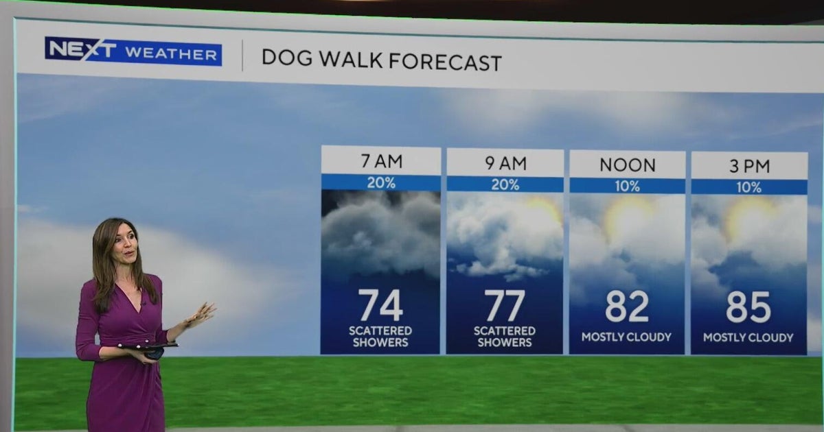 South Florida sees some showers Tuesday, but rain chances rise by end of week
October 20, 2026 / 8:59 AM EDT / CBS Miami Spotty showers were blowing in on the breeze on Tuesday morning in parts of South Florida, with most of the rain rolling in across Miami-Dade. We are also enjoying a taste of…
-
 Fall weather takes hold in Central Florida
ORLANDO, Fla. — Fall is in full swing across Central Florida this week, with afternoon temperatures hovering around 80 degrees and morning lows dipping into the 60s. After a weather system moved completely through the…
-
 Southwest Florida Weather Forecast
WINK News Oct. 20, 2026 | 4 a.m. Currently in Fort Myers Hour by Hour Forecast - Sunshine sticks around as cooler temperatures continue across Southwest Florida - Shark kills woman swimming off South Africa's Eastern…
-
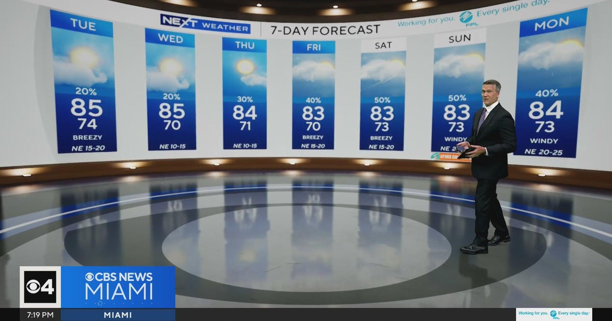 Temperatures lower to the early 80s and late 70s throughout South Florida
CBS News Miami is a local news organization that is part of CBS News and Stations. Also referred to as WFOR-TV and channel 4, CBS News Miami offers local breaking news, weather coverage and investigative reporting…
-
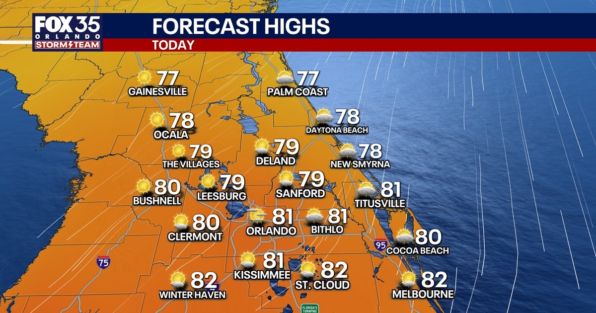 Orlando weather: Sunshine, comfortable weather in Central Florida this week
Expect sunshine and comfortable weather in Central Florida this week. Temperatures will be in the upper 70s and low 80s. FOX 35 Storm Team meteorologist Brooks Garner takes a look at the forecast. ORLANDO, Fla. - A…
-
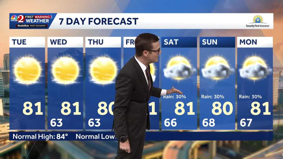 Cool morning temps, sunshine expected across Central Florida
Central Florida is waking up to cooler temperatures Tuesday morning, with comfortable conditions expected to continue throughout the day. Temperatures are starting in the 50s and 60s across much of the region, with some…
-
 ‘Storm-force’ system brings high surf to Florida, flood risk to US East Coast
A “storm-force” low-pressure system is forecast to bring high winds, coastal flooding and dangerous surf along portions of the U.S. East Coast this week, according to the National Hurricane Center. The center of the low…
- Will Invest 93L strengthen into Josephine? What impacts can Florida expect?
A system of low pressure off the east coast of the United States has been designated as Invest 93L, according to the latest advisory from the National Hurricane Center. If the system lingers over the warm Gulf Stream…
Air quality
Air quality is satisfactory, and air pollution poses little or no risk.
Forecast
- WedGood
- ThuGood
- FriGood
Fort Pierce, FL reporting area · 1 hr ago. Data from AirNow (EPA and its state, local and tribal partners); preliminary and subject to change.
Sun & moon
Almanac
MonthlyFort Pierce Area, records since 1901. Normals 1991–2020. Data from NOAA's Regional Climate Centers (ACIS).
Nearby
- Port Saint Lucie 14 km
- Jupiter 53 km
- Sebastian 52 km
- Palm City 25 km
- Vero Beach South 29 km
- Florida Ridge 25 km
- Stuart 21 km
- Vero Beach 31 km
- Jensen Beach 15 km
- Hobe Sound 39 km
- Lakewood Park 22 km
- Port Salerno 28 km
Forecasters' discussion
From the National Weather Service office in MLB, issued 5 hrs ago
Key Messages
Issued at 300 PM EDT Tue Oct 20 2026
- Hazardous surf and a high risk for rip currents continuing at area beaches. Residents and visitors should use caution at the beach and avoid entering the water.
- Shower chances modestly increase Wednesday along the coast, then drier again Thursday. Rain chances ramp up again this weekend.
- Strong northeast winds forecast to return this weekend; very windy with dangerous surf and boating conditions and a risk for more beach erosion.
Discussion
Issued at 300 PM EDT Tue Oct 20 2026
Thru Thu...High pressure over the eastern US will maintain a north to northeast wind flow across our area. The pressure gradient will support 10-15 mph with gusts 20-25 mph with occasional gusts up to 30 mph possible Wed. Less gustiness on Thu. A slug of slightly higher PWAT (~1.25") is forecast Wed which will produce more stratocumulus clouds and an uptick in Atlc showers pushing onshore. Drier air makes another push south Thursday, limiting rain chances so most of the area will stay dry Thursday. Max temps will be very seasonable Wed in the low to mid 80s, and slightly cooler on Thu. Min temps will be generally in the 60s with upper 50s north of I 4. There is a chance Sanford and/or Orlando may dip below 60F for the first time this season one of these mornings.
Fri-Mon...Northeast pressure gradient re-tightens as high pressure builds south across the mid Atlc and low pressure develops near or NE of the Bahamas along an old frontal boundary. 12z ECM/GFS guidance continues to show a 8-10mb delta between JAX/MIA which would produce very windy conditions Sat-Sun. Sustained winds Friday afternoon of 15-20 mph increase 20-30 mph Saturday and Sunday with higher gusts. This would support Wind Advisories at least for the coast. Pressure gradient starts to relax Mon and Tue as high pressure weakens allowing winds and gusts to gradually settle down.
These winds will produce another hazardous coastal event with beach erosion, rough surf, and dangerous rip currents, beginning as soon Friday. This event will also coincide with high astronomical tides. Rain chances are less certain with the greatest confidence in measurable precip south of Cape Canaveral through Monday. The best chance for onshore- moving showers arrives Saturday as a surge of higher PWAT pushes onshore from the Atlantic. Max temps in the upper 70s/low 80s but overnight lows warm, holding in the mid 60s interior and low 70s (even mid 70s) coast due to stronger onshore flow.
Marine
Issued at 300 PM EDT Tue Oct 20 2026
Despite winds and seas starting to decrease/subside, Small Craft Advisories remain in effect. Winds have largely dropped below the 20 kt threshold for SCA but seas will be very slow to drop below 7 FT due to the N/NE trajectory. Fast, onshore- moving showers are possible again Wednesday, focused mainly south on Thursday, and then increasing in coverage by the weekend. By Friday afternoon and continuing into the weekend, high pressure to the north quickly strengthens and tightens the surface pressure gradient once again. Strong to near Gale force ENE winds are forecast to develop as rain chances increase from south to north. Seas build 12-15 ft by late Saturday, creating dangerous marine conditions. Numerous showers with an isolated storm or two will focus this weekend south of Sebastian Inlet.
Aviation
(00Z TAFs) Issued at 655 PM EDT Tue Oct 20 2026
VFR conditions are expected through the TAF period with north- northeasterly flow in place. Expect north-northeast winds at 8kts-12kts with gusts up to 15kts-18kts before weakening tonight. Winds will increase after 15Z WED from the north-northeast at 12kts-16kts with gusts up to 18kts-25kts.
Forecasts, observations and alerts in the United States come from the National Weather Service (NOAA); radar from NOAA's Multi-Radar Multi-Sensor system; satellite imagery from NASA's Global Imagery Browse Services (GIBS) and NOAA's GOES satellites; the map from the U.S. Geological Survey's National Map; air quality from AirNow (EPA and its partners); hurricane information from the National Hurricane Center; climate normals and records from NOAA's Regional Climate Centers (ACIS). Forecasts outside the United States and the UV index: MET Norway (CC BY 4.0); observations outside the U.S.: airport reports via NOAA's Aviation Weather Center. Place names: GeoNames (CC BY 4.0). Data are copied on a schedule and may lag the sources; for warnings that affect your safety, follow your local National Weather Service office and emergency officials. Weather news is drawn from the 4Conservative index and reflects what the press published. Terms of use.