Install
Boca Raton, FL 33488 Weather
Current conditions
Observed at Pompano Beach, Pompano Beach Airpark · 14 min ago
Forecast
10-day-
Tonight
A slight chance of rain showers between 11pm and 2am, then a slight chance of showers and thunderstorms. Partly cloudy, with a low around 72. North wind around 13 mph, with gusts as high as 18 mph. Chance of precipitation is 20%. New rainfall amounts less than a tenth of an inch possible.
-
Thursday
A slight chance of rain showers before 8am, then a chance of showers and thunderstorms between 8am and 9am, then a slight chance of showers and thunderstorms between 9am and 10am, then a chance of showers and thunderstorms between 10am and 5pm, then a slight chance of showers and thunderstorms. Mostly sunny, with a high near 82. North wind 14 to 17 mph, with gusts as high as 24 mph. Chance of precipitation is 30%. New rainfall amounts less than a tenth of an inch possible.
-
Thursday Night
A chance of showers and thunderstorms after 7pm. Partly cloudy, with a low around 72. North wind 13 to 16 mph, with gusts as high as 23 mph. Chance of precipitation is 40%. New rainfall amounts between a tenth and quarter of an inch possible.
National Weather Service forecast updated 2 hrs ago.
Hourly
Hourly forecast- Now80°
- 7 PM79°
- 8 PM78°11%
- 9 PM77°11%
- 10 PM76°12%
- 11 PM75°17%
- Thu12 AM75°18%
- 1 AM74°20%
- 2 AM74°21%
- 3 AM73°20%
- 4 AM73°20%
- 5 AM73°22%
- 6 AM73°24%
- 7 AM72°23%
- 8 AM73°27%
- 9 AM75°22%
- 10 AM79°26%
- 11 AM80°23%
- 12 PM80°26%
- 1 PM81°29%
- 2 PM80°29%
- 3 PM80°24%
- 4 PM81°23%
- 5 PM79°21%
10-day forecast
Details- TonightOct 21Slight Chance Rain Showers then Slight Chance Showers And Thunderstorms22%72°
- ThuOct 22Chance Showers And Thunderstorms37%72°82°
- FriOct 23Chance Rain Showers51%73°82°
- SatOct 24Chance Showers And Thunderstorms then Showers And Thunderstorms Likely78%73°82°
- SunOct 25Showers And Thunderstorms89%73°82°
- MonOct 26Chance Showers And Thunderstorms then Showers And Thunderstorms Likely64%73°82°
- TueOct 27Chance Showers And Thunderstorms42%73°83°
- WedOct 28Chance Rain Showers44%83°
- ThuOct 29Rain0.09 in72°84°
- FriOct 30Partly cloudy0.02 in71°83°
Days after the National Weather Service's seven are MET Norway's outlook, a computer model with no forecaster's review.
Radar
Full mapWeather news near Boca Raton
More weather news- Up to 12-foot waves pound Palm Beach County, Treasure Coast beaches
JUPITER, Fla. (CBS12) — Waves reaching up to 12 feet are pounding beaches across Palm Beach County and the Treasure Coast Monday, drawing experienced surfers into the water while prompting lifeguards in Jupiter to raise…
-
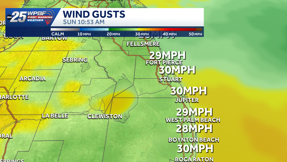 Strong winds, rough surf along east coast
Impact Weather Alert: Strong winds and dangerous surf are creating hazardous conditions along the Treasure Coast and Palm Beaches today. Impact weather is creating hazardous conditions across the Treasure Coast and Palm…
-
 Following Sunday Rain, a Pleasant Fall Week is on the way
The Boca Raton Tribune Following Sunday Rain, a Pleasant Fall Week is on the way Boca Raton residents can look forward to a mild, comfortable autumn week. Following Sunday’s unsettled weather, a dry air mass will settle…
-
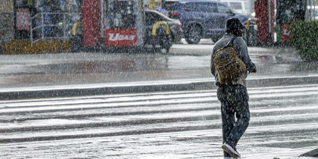 Weekend of miserable severe storms to drench Southern Florida with heavy rain and flooding
🌧️ ☔ FLORIDA SOAKER: A weekend of severe storms will ruin any chances of getting outdoors in South Florida as heavy rain, strong winds and a flood threat will plague the region until Monday. FLORIDA – Wet weather…
-
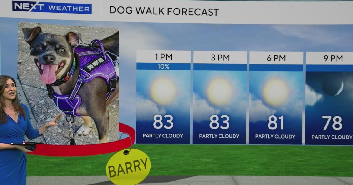 South Florida stays beautiful, breezy on Wednesday before heavy rain, king tides bring flood risk
The rest of Wednesday is expected to be beautiful, breezy and mainly dry. However, big changes are on the way that will be leading to a NEXT Weather Alert issues starting Sunday. CBS News Miami NEXT Weather…
-
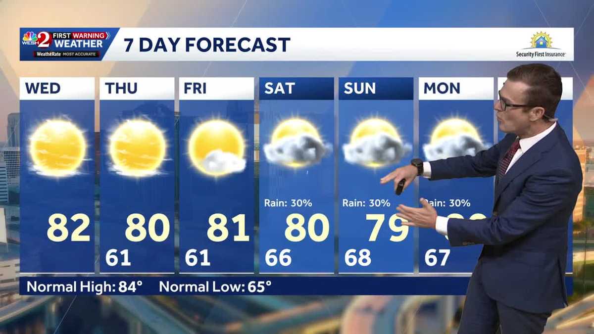 Cool this morning, mostly clear skies ahead for Central Florida
Central Florida is starting off nice and cool, with mostly clear skies expected today. High temperatures will remain around 80 degrees through the weekend, while morning lows stay in the lower 60s over the next few…
-
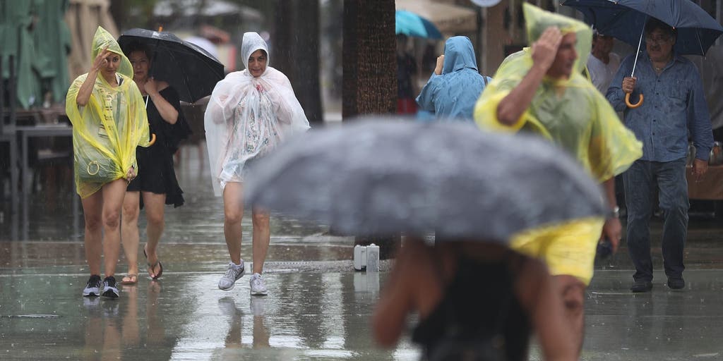 Slow-moving system could bring days of heavy rain and flooding to the Bahamas and Florida
A slow-moving system is developing near the Southwest Atlantic, bringing days of rain to Florida. Some areas could see 3 to 5 inches. A Level 1 out of 4 flash flood risk has been issued for Friday, while a Level 2 out…
- South Florida is feeling the 60s. How long will the cool last?
Welcome to the 60s. The feeling of fall returned early Wednesday as temperatures dipped below 70 in parts of South Florida. Fort Lauderdale and Kendall recorded 69 degrees and Pembroke Pines registered 68, according to…
-
 October 20: Terrific weather persists across South Florida
WPLG Local 10 The terrific weather persists across South Florida as humidity levels remain in check Miami-Dade and Broward counties can expect scattered clouds and north-northeast winds, sustained 10 to 15 mph, Tuesday…
-
 Invest 93L may develop, but South Florida is not in its path
West Palm Beach, Fla (CBS12) — The National Hurricane Center is monitoring Invest 93-L, a storm-force, non-tropical low located a few hundred miles off the North Carolina coast. The system is producing showers and…
Air quality
Air quality is satisfactory, and air pollution poses little or no risk.
Forecast
- WedGood
- ThuGood
- FriGood
West Palm Beach, FL reporting area · 1 hr ago. Data from AirNow (EPA and its state, local and tribal partners); preliminary and subject to change.
Sun & moon
Almanac
MonthlyFort Lauderdale Area, records since 1912. Normals 1991–2020. Data from NOAA's Regional Climate Centers (ACIS).
Nearby
- Hialeah 59 km
- Fort Lauderdale 27 km
- Pembroke Pines 42 km
- Hollywood 39 km
- Miramar 44 km
- Coral Springs 21 km
- West Palm Beach 40 km
- Miami Gardens 49 km
- Pompano Beach 14 km
- Davie 36 km
- Plantation 29 km
- Sunrise 25 km
Forecasters' discussion
From the National Weather Service office in MFL, issued 2 hrs ago
Key Messages
Updated at 410 PM EDT Wed Oct 21 2026
- Hazardous marine conditions continue today for both the Atlantic and Gulf waters.
- High risk of rip currents continues for the Atlantic beaches, and will likely last at least into early next week. In addition, high surf conditions continue for the Palm Beaches.
- Minor to moderate coastal flooding expected to begin today around high tide along the east coast.
- Heavy rain, isolated flash flooding, and windy conditions are forecast for this weekend.
Update
Issued at 410 PM EDT Wed Oct 21 2026
The forecast remains generally on track this afternoon. We continue to monitor the potential for heavy rainfall this weekend, in conjunction with a likely very impactful King Tide coastal flooding event. In this update, we will highlight any notable revisions to the short term and long term forecasts.
Through the short term period (today and tomorrow), our area will remain under an area of high pressure and subsidence with PWATs running below the 10th percentile for this time of year. This will continue to result in negligible sensible weather impacts across the region, with PoPs across much of the region below 15% and temperatures in the mid 80s each day. Breezy conditions will persist and could be gusty at times. Coastal flooding today and tomorrow could overperform previous forecast levels, with Moderate coastal flooding possible along the East Coast. We upgraded the Coastal Statement up to an Advisory, and those conditions will likely persist through at least Thursday, potentially worsening later into the weekend as we reach the peak of the King Tide cycle.
Once we get into the long term period (Friday onwards), there is increasing confidence that we will be seeing a heavy rainfall event across portions of South Florida between Friday-Sunday night. That being said, the remaining uncertainty comes from a discrepancy between ensemble members regarding where the potential surface low develops and interacts with the surface high shifting over the southeast US. This interaction will promote convergence and strong northeasterly flow that could drive repeated rounds of rainfall across the area. The further north and/or east that this interaction sets up, the lower the rainfall amounts for our area, but any shift west or south could lead to the higher-end rainfall values discussed in last night's Long Term discussion. This, combined with aforementioned King Tide coastal flooding event and hazardous marine and surf conditions, could exacerbate flooding concerns along the coast.
Short Term
(Today through Thursday) Issued at 100 AM EDT Wed Oct 21 2026
Surface high pressure will remain to our north today and Thursday. At the upper levels, height falls will continue as a trough builds across the state and the ridge over the middle of the country starts to nose eastward. Mainly dry conditions are expected the next couple of days, with plenty of dry air in the mid and upper levels of the atmosphere. Just enough low level moisture will be in place for occasional coastal showers across the east coast metro, especially during the evening and overnight hours.
High temps today and Thursday will be in the low to middle 80s for most, with some upper 80s over SW FL. Low temps tonight will range from the middle 60s around the lake to the lower 70s near the Atlantic coast.
Long Term
(Thursday night through Tuesday) Issued at 208 AM EDT Wed Oct 21 2026
Forecast gets interesting as we head into the weekend and into early next week. A 500 mb low will form in the vicinity of Cuba and strong surface high pressure will be in place over the northeast US. Deep moisture will be in place over SE FL for multiple days with PWAT values increasing to 1.8-2.0 inches. Rounds of heavy rainfall appear likely especially on Saturday and Sunday, but may continue into Monday as well. Mean rainfall totals from Friday through Monday show 3-6 inches for the east coast metro, with worst case scenario values over 10 inches possible. Given the peak of the current king tide cycle is also this weekend, the potential exists for some serious flooding concerns across the metro and other poor drainage locations along the coast. Should the forecast remain the same over the coming days, Flood headlines would be very likely.
In addition to the heavy rain threat, the tightening of the pressure gradient this weekend across FL will result in breezy NE winds, with gusts of 30-40 mph likely, especially along the coast.
Conditions will improve for Tuesday into mid week as the upper low opens up and lifts up to the northeast and drier air moves back into the area.
Temperatures during the extended period will see high temps in the low to mid 80s each day and lows in the 60s/70s.
Forecasts, observations and alerts in the United States come from the National Weather Service (NOAA); radar from NOAA's Multi-Radar Multi-Sensor system; satellite imagery from NASA's Global Imagery Browse Services (GIBS) and NOAA's GOES satellites; the map from the U.S. Geological Survey's National Map; air quality from AirNow (EPA and its partners); hurricane information from the National Hurricane Center; climate normals and records from NOAA's Regional Climate Centers (ACIS). Forecasts outside the United States and the UV index: MET Norway (CC BY 4.0); observations outside the U.S.: airport reports via NOAA's Aviation Weather Center. Place names: GeoNames (CC BY 4.0). Data are copied on a schedule and may lag the sources; for warnings that affect your safety, follow your local National Weather Service office and emergency officials. Weather news is drawn from the 4Conservative index and reflects what the press published. Terms of use.