Install
West Palm Beach, FL 33415 Weather
Current conditions
Observed at President Donald J. Trump International Airport · 29 min ago
Forecast
10-day-
Tonight
A slight chance of rain showers between midnight and 3am. Partly cloudy, with a low around 71. North wind 7 to 10 mph, with gusts as high as 21 mph. Chance of precipitation is 20%. New rainfall amounts less than a tenth of an inch possible.
-
Wednesday
Mostly sunny, with a high near 85. North wind 8 to 12 mph, with gusts as high as 18 mph. New rainfall amounts less than a tenth of an inch possible.
-
Wednesday Night
A chance of rain showers after 7pm. Partly cloudy, with a low around 72. North wind 6 to 10 mph, with gusts as high as 18 mph. Chance of precipitation is 40%. New rainfall amounts between a tenth and quarter of an inch possible.
National Weather Service forecast updated 37 min ago.
Hourly
Hourly forecast- Now74°13%
- 11 PM74°14%
- Wed12 AM73°16%
- 1 AM73°14%
- 2 AM73°15%
- 3 AM72°
- 4 AM72°
- 5 AM72°12%
- 6 AM72°
- 7 AM71°
- 8 AM72°12%
- 9 AM74°
- 10 AM78°
- 11 AM80°11%
- 12 PM81°
- 1 PM81°
- 2 PM82°
- 3 PM82°
- 4 PM81°
- 5 PM83°
- 6 PM80°11%
- 7 PM79°20%
- 8 PM78°18%
- 9 PM75°18%
10-day forecast
Details- TonightOct 20Partly Cloudy then Slight Chance Rain Showers16%71°
- WedOct 21Mostly Sunny36%72°85°
- ThuOct 22Slight Chance Rain Showers18%70°84°
- FriOct 23Chance Showers And Thunderstorms54%72°82°
- SatOct 24Showers And Thunderstorms84%73°83°
- SunOct 25Showers And Thunderstorms80%73°82°
- MonOct 26Rain Showers Likely63%72°83°
- TueOct 27Showers And Thunderstorms Likely59%83°
- WedOct 28Showers0.13 in70°83°
- ThuOct 29Cloudy67°81°
Days after the National Weather Service's seven are MET Norway's outlook, a computer model with no forecaster's review.
Radar
Full mapWeather news near West Palm Beach
More weather news-
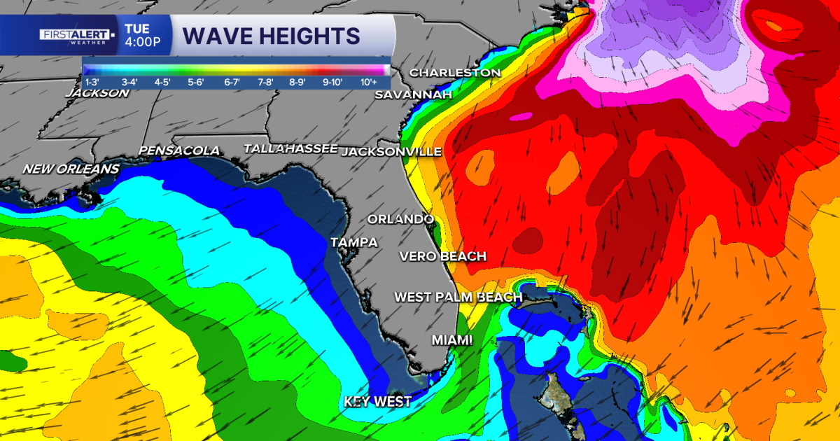 FORECAST: Dry weather continues, rough beach conditions persist
WEST PALM BEACH, Fla. — A refreshing taste of fall continues across the Treasure Coast and Palm Beaches, with lower humidity, comfortable temperatures and plenty of sunshine in the forecast. Afternoon highs will reach…
-
 NHC raises development chances for low expected off Southeast U.S. coast
WEST PALM BEACH, Fla. — The National Hurricane Center is monitoring a developing weather system off the southeastern United States that could acquire subtropical characteristics during the upcoming week. As of 8 a.m…
-
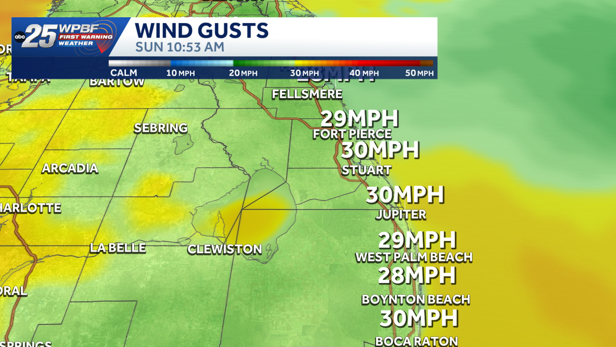 Strong winds, rough surf along east coast
Impact Weather Alert: Strong winds and dangerous surf are creating hazardous conditions along the Treasure Coast and Palm Beaches today. Impact weather is creating hazardous conditions across the Treasure Coast and Palm…
- Strong NE winds bring dangerous surf and rough seas to South Florida today
WEST PALM BEACH, Fla. — The weather pattern is changing bringing gusty northeast winds, passing showers, and increasingly dangerous conditions along the Atlantic coast.While the widespread heavy rain threat is beginning…
-
 NHC monitoring possible subtropical development off the Southeast coast
West Palm Beach, Fla (CBS12) — The National Hurricane Center is monitoring an area off the U.S. East Coast where a powerful non-tropical low is expected to develop later Sunday or tonight. The low is forecast to form…
-
 Gusty winds make Sunday a StormTrac Weather Impact Day
West Palm Beach, Fla (CBS12) — The cold front moving through South Florida this morning is bringing a sharp change in the weather for the Treasure Coast and Palm Beaches. Sunday is a StormTrac Weather Impact Day because…
-
 Heavy rain today gives way to strong winds and dangerous surf through weekend
WEST PALM BEACH, Fla. — South Florida is in for a weekend of changing weather, with heavy rainfall and flooding concerns Saturday followed by strong winds and dangerous coastal conditions Sunday. A cold front…
-
 Heavy downpours move through Friday evening and into Saturday
WPEC WEST PALM BEACH, Fla. (CBS12) — Heavy downpours are moving through the area Friday evening. A Flood Advisory is in effect for Palm Beach County until 10:45 p.m. We could continue to see storms through the evening…
-
 FOX29 First Alert Weather Forecast: Oct. 16, 2026
WEST PALM BEACH, Fla. (WFLX) - A cold front is arriving this weekend, bringing widespread showers, thunderstorms, and gusty winds that will create dangerous conditions along the coast. Spotty coastal showers are…
-
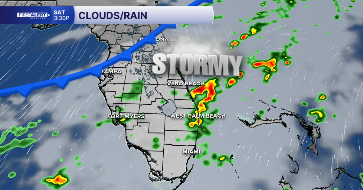 FORECAST: Cold front to bring storms, flooding risk and rough beach conditions this weekend
WEST PALM BEACH, Fla. — A cold front is arriving this weekend, bringing widespread showers, thunderstorms, and gusty winds that will create dangerous conditions along the coast. Spotty coastal showers are possible this…
Air quality
Air quality is satisfactory, and air pollution poses little or no risk.
Forecast
- TueGood
- WedGood
- ThuGood
West Palm Beach, FL reporting area · 1 hr ago. Data from AirNow (EPA and its state, local and tribal partners); preliminary and subject to change.
Sun & moon
Almanac
MonthlyDonald J. Trump International Airport, records since 1938. Normals 1991–2020. Data from NOAA's Regional Climate Centers (ACIS).
Nearby
- Fort Lauderdale 59 km
- Coral Springs 45 km
- Pompano Beach 46 km
- Boca Raton 33 km
- Plantation 59 km
- Sunrise 58 km
- Deerfield Beach 38 km
- Boynton Beach 16 km
- Lauderhill 58 km
- Delray Beach 22 km
- Tamarac 51 km
- Jupiter 31 km
Forecasters' discussion
From the National Weather Service office in MFL, issued 3 hrs ago
Key Messages
Updated at 643 PM EDT Tue Oct 20 2026
- Hazardous marine and beach conditions continue through tomorrow for the Atlantic and Gulf waters.
- Minor to moderate coastal flooding possible as early as mid to late week. Peak tidal levels will be reached late this weekend into early next week and could reach Major flood stage for points along the coast.
- Heavy rain, isolated flash flooding, and windy conditions are forecast for this weekend.
Synopsis
Issued at 357 PM EDT Tue Oct 20 2026
Water vapor and upper-air analysis data show a frontal system off the Mid-Atlantic coast embedded within the larger eastern US longwave trough. Vapor imagery and model analysis fields also show that, within the longwave trough, a couple of elongated shortwaves sit over the Tennessee Valley and Great Lakes region, and stretch back over the central CONUS ridge. At the surface, the 12z WPC analysis depicts a large eastern and central CONUS ridge with the surface low off the Mid-Atlantic coast associated with the aforementioned frontal system. A local surface analysis indicates that a frontal boundary associated with this low still exists across the northeast Gulf, through north-central Florida, and up the Southeast coast. Across South Florida, a surface trough sits along the east coast, with the warmer and more moist maritime air advecting inland in the northeasterly flow regime around the broader surface ridge. Observed sounding analysis data from 12z this morning reveals that solid northwesterly flow associated with the upper trough gradually transitions to northeasterly between 500-700mb when the low-level ridge gains influence. Deep-layer dry air was above 700mb, with a nearly saturated lower troposphere. Precipitable water values across the lower half of the state range from 0.75" at TBW, up to 1.1-1.2" between MFL and KEY.
Visible imagery across South Florida shows bands of cloudiness moving inland from the near shore waters and radar imagery this morning showed the presence of scattered showers along the immediate coast. These features seem to be driven by the very low level thermal trough resultant from maritime influence over our coastal waters and the cooler temperatures over land. The background northeasterly flow is lifting the warmer and more moist air as it advects northeast to southwest across the state. As the day progresses, this influence should continue diminishing and the threat for showers should decrease.
Short Term
(Rest of today through Friday) Issued at 357 PM EDT Tue Oct 20 2026
The above mentioned shortwaves, and an additional one riding over the ridge from the Central Plains, will superposition with the quasi- stationary upper low and result in an upper trough extending from the Mid-Atlantic through Florida and into the Gulf. A stable layer between 700-900mb, indicated by packed isentropes, will likely keep the upper level trough from influencing the surface pattern much. In fact, this stable layer remains in place through at least Friday as another shortwave currently over Alberta and Saskatchewan dives through the Great Lakes region and into the Southeast. The sensible weather will then be primarily influenced by features in the lower atmosphere, and more specifically, the the thermal trough development and advection mentioned above. The continued northeasterly low-level flow between the surface ridge and Mid- Atlantic low will result in multiple days of widely scattered morning showers developing near the coast and moving inland, mostly dissipating by early afternoon. Overnight lows will be consistently in the mid to upper 60s inland, and closer to 70 along the coasts. Highs will also mostly be near or just below climatology, in the low to mid 80s. Winds will gradually decrease through the week as the western Atlantic low slowly drifts northward.
Long Term
(Saturday through next Monday) Issued at 357 PM EDT Tue Oct 20 2026
As all the aforementioned shortwaves eventually spill into the western Caribbean, they'll find a more unstable region to initiate and organize convection. At the same time, the upper trough will become more positively tilted as the core of the main longwave trough moves northeast and a wave breaking pattern sets up with the latest shortwave starting to cutoff over FL and the SW Atlantic. This will create a pathway for convection to gain latitude out of the Caribbean and enter the Bahamas. Traditional 500mb ensemble cluster analysis is primarily focusing on other sources of variance in determining extended range scenarios, and this is likely due to our focus area being on the edge of the domain and focused primarily above 500mb. However, we can still identify a few scenarios from the clusters to clue us into the fact that where this upper-low cuts off will have an implication on QPF forecasts this weekend and into next week. Thankfully WPC QPF clusters can at least shed light on what the potential impacts may be depending on the evolution of the upper pattern. What we can say is that the east coast metros will be the target of heavy rainfall over the weekend. What's uncertain is just how much and exactly when. Generally speaking, there's a lower QPF scenario that on average brings 1-2" of rain to much of the southeast coast of Florida, then there are multiple more impactful scenarios that differ on placement of the highest precip amounts across the east coast from Cape Canaveral down to Homestead. The higher end scenarios generally agree on amounts between 5-7" over the 48 hour period this weekend, with the potential for scattered to isolated locations receiving somewhere near double those amounts. For this reason we remain in a Slight Risk (15%) for flash flooding in WPCs Day 5 Excessive Rainfall Outlook. Winds and gusts (non- thunderstorm) will also be a concern over the weekend as the gradient between convection in the Bahamas and an approaching front tightens. There's currently a high probability of sustained winds in the 25-30 mph range across east and west coast metros, with a moderate chance of gusts exceeding 40 mph. The main window for these high winds will be on Sunday. The wet pattern will likely continue into next week as the northern stream frontal system and cutoff low interact and eventually dissipate or advect out of the region.
Forecasts, observations and alerts in the United States come from the National Weather Service (NOAA); radar from NOAA's Multi-Radar Multi-Sensor system; satellite imagery from NASA's Global Imagery Browse Services (GIBS) and NOAA's GOES satellites; the map from the U.S. Geological Survey's National Map; air quality from AirNow (EPA and its partners); hurricane information from the National Hurricane Center; climate normals and records from NOAA's Regional Climate Centers (ACIS). Forecasts outside the United States and the UV index: MET Norway (CC BY 4.0); observations outside the U.S.: airport reports via NOAA's Aviation Weather Center. Place names: GeoNames (CC BY 4.0). Data are copied on a schedule and may lag the sources; for warnings that affect your safety, follow your local National Weather Service office and emergency officials. Weather news is drawn from the 4Conservative index and reflects what the press published. Terms of use.