Install
Live Oak, FL 32060 Weather
Current conditions
Forecast for this hour (no station report in the last two hours)
Forecast
10-day-
Thursday
Sunny. High near 79, with temperatures falling to around 77 in the afternoon. North wind around 3 mph.
-
Thursday Night
Clear. Low around 50, with temperatures rising to around 52 overnight. Northeast wind around 1 mph.
-
Friday
Sunny, with a high near 75.
National Weather Service forecast updated 1 day ago.
Hourly
Hourly forecast- Now79°
- 4 PM79°
- 5 PM77°
- 6 PM74°
- 7 PM69°
- 8 PM65°
- 9 PM62°
- 10 PM59°
- 11 PM57°
- Fri12 AM56°
- 1 AM55°
- 2 AM54°
- 3 AM53°
- 4 AM52°
- 5 AM52°
- 6 AM51°
- 7 AM50°
- 8 AM51°
- 9 AM56°
- 10 AM62°
- 11 AM67°
- 12 PM70°
- 1 PM73°
- 2 PM74°
10-day forecast
Details- TonightOct 20Clear47°
- WedOct 21Sunny50°79°
- TodayOct 22Sunny50°79°
- FriOct 23Sunny54°75°
- SatOct 24Sunny55°74°
- SunOct 25Sunny55°75°
- MonOct 26Sunny53°77°
- TueOct 27Mostly Sunny78°
- WedOct 28Mostly sunny59°79°
- ThuOct 29Sunny54°77°
Days after the National Weather Service's seven are MET Norway's outlook, a computer model with no forecaster's review.
Radar
Full mapWeather news in Florida
More weather news-
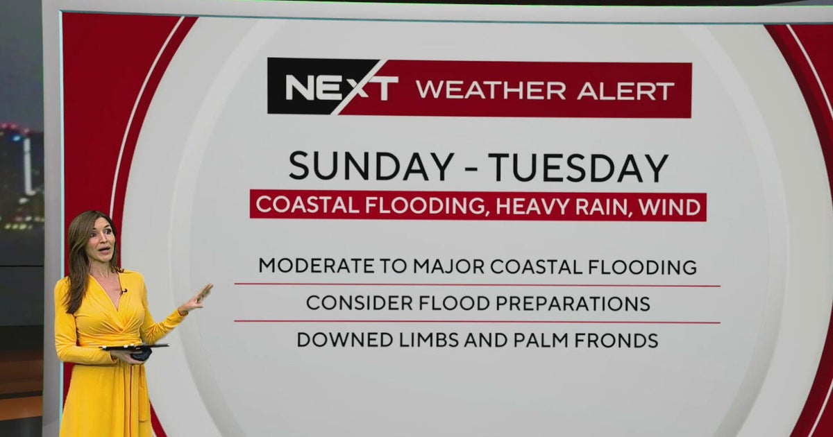 South Florida sees spotty showers ahead of weekend flooding, strong wind threats
October 22, 2026 / 7:30 AM EDT / CBS Miami South Florida will see warmer temperatures and spotty afternoon showers Thursday as the region prepares for a stretch of wet and windy weather that could bring heavy downpours…
-
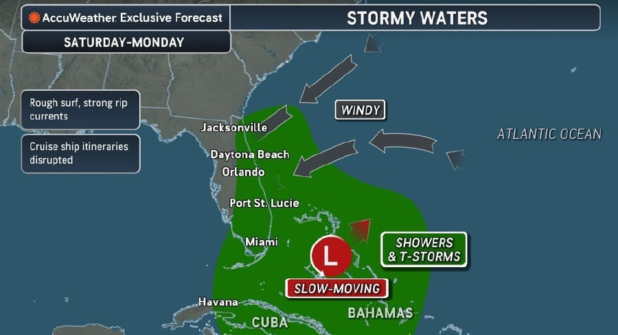 Rough Seas, Dangerous Rip Currents Threaten Florida Coast Ahead Of Possible Tropical Development
Persistent onshore winds and a slow-moving area of low pressure near the Bahamas are expected to bring hazardous surf, strong rip currents, and marine travel disruptions along Florida’s Atlantic coast starting this…
-
 Atlantic storms churn up dangerous, rough seas from Florida coast to Northeast
Subtropical Storm Josephine is expected to become a strong extratropical cyclone with hurricane-force winds as it churns in the mid-Atlantic off the U.S. East Coast, forecasters said. Josephine is bringing high winds…
-
 Another beautiful day Thursday before a big weather change arrives in Central Florida
ORLANDO, Fla. — Central Florida is in for another beautiful day, with cool temperatures to start the morning and warm, mostly sunny conditions expected this afternoon. However, changes are on the way as windy weather…
-
 Central Florida has low chances for rain and temperatures peaking at lower 80s
Thursday is dry with a low chance of showers along the Treasure Coast. Temperatures will peak around 81 degrees and skies will be sunny, according to NWS Melbourne. Winds are blowing north to northeast at 10-15 mph with…
- Subtropical Storm Josephine expected to strengthen. Any Florida impacts?
Subtropical Storm Josephine is expected to strengthen into a "powerful extratropical cyclone with hurricane-force winds by early Friday," Oct. 23. ➤ Spaghetti models for Subtropical Storm Josephine Forecasters have been…
-
 Sunshine, cooler temperatures continue Wednesday across Central Florida
ORLANDO, Fla. — Central Florida is enjoying another stretch of beautiful weather on Wednesday, with plenty of sunshine, cooler temperatures and dry conditions continuing across the region. Afternoon highs are expected…
-
 South Florida stays beautiful, breezy on Wednesday before heavy rain, king tides bring flood risk
The rest of Wednesday is expected to be beautiful, breezy and mainly dry. However, big changes are on the way that will be leading to a NEXT Weather Alert issues starting Sunday. CBS News Miami NEXT Weather…
-
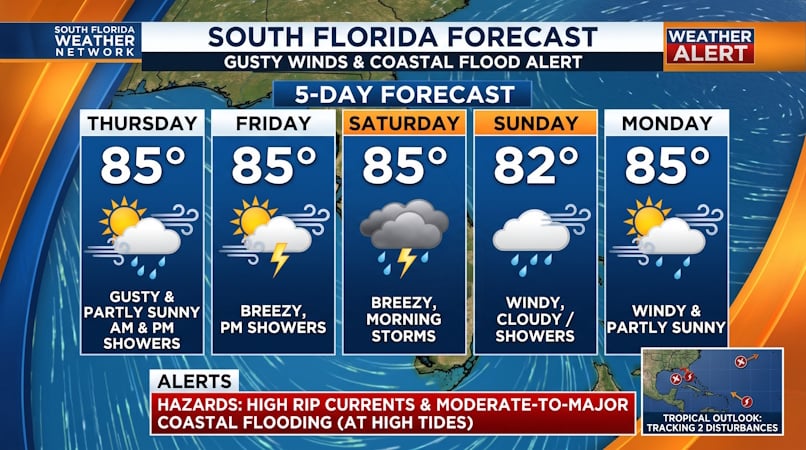 Gusty Winds, Coastal Flooding, and Dangerous Rip Currents Threaten South Florida into Early Next Week
Donna Thomas has studied hurricanes for two decades. She holds a PhD in history when her experience with Hurricane Andrew ultimately led her to earn a degree in broadcast meteorology from Mississippi State University…
- Central Florida expects sunny skies before weekend rain arrives
CENTRAL FLA. — It was a mostly quiet and breezy Wednesday, and more great weather is ahead later in the week. Even more sunshine is anticipated for Thursday. Dry conditions will return area-wide, with winds continuing…
Air quality
Air quality is satisfactory, and air pollution poses little or no risk.
Forecast
- ThuModerate
- FriModerate
- SatGood
Columbia and Suwannee Counties, FL reporting area · 1 hr ago. Data from AirNow (EPA and its state, local and tribal partners); preliminary and subject to change.
Sun & moon
Nearby
Forecasters' discussion
From the National Weather Service office in JAX, issued 6 hrs ago
Key Messages
For the latest NE FL and SE GA Daily Key Messages please visit: https:/www.weather.gov/media/jax/briefings/nws-jax-briefing.pdf
- Marine & Coastal Hazards Continue this Week. Dangerous Surf Zone High Risk for Rip Currents. Minor Tidal Flooding Continues Within Portions of the St. Johns River Basin and
- Atlantic coast south of St Augustine
- Strong Northeasterly Winds Develop Friday Night Along the I-95 Corridor. Moderate Tidal and Coastal Flooding Likely During the Upcoming Weekend. Gale Conditions Possible for the Local Atlantic Waters. Dangerous/High Surf Conditions with a High Risk for Rip Currents at Area Beaches
- Locally Heavy Rainfall Possible this Weekend for Coastal Northeast FL
Near Term
Main Highlights:
- High Risk for Rip Currents - Minor coastal flooding portions of NE FL
Broad high pressure system anchored to the north and subsident conditions will continue to allow for clear skies and little sensible weather other than pleasant afternoons and cool mornings. Excellent radiational cooling early this morning will allow the lows to fall into the mid to upper 40s for the Suwannee Valley / inland southeast GA, and the lower to mid 50s for north central FL, while persistent onshore flow keeps temps in the upper 50s to around 60 closer to the coast.
Northeast to east flow expected again today with breezy conditions toward the coast. Highs will be in the upper 70s to around 80 inland and mid 70s toward the coast. Similar overnight lows for Thursday night/early Friday...generally in the upper 40s to around 50 from Suwannee Valley northward, and lower to mid 50s north central FL, and given some onshore flow at the coast around 60 degrees there.
Short Term
Main Highlights This Period: Thursday through Friday night
- A high risk for rip currents continues
Strong high pressure will build to the north this period. An inverted trough is expected to develop east of the area Friday night. The pressure gradient over the area will increase steadily through the period due to strengthening high, then the addition of the inverted trough later in the period. As the gradient tightens winds will pick up. With the position of the high, the winds will be onshore, and the increase in speed will be most noticeable near the coast.
It will be dry through Friday, then convergence associated with the inverted trough will bring a chance for showers to mainly coastal areas.
Temperatures will be below average through Friday. With the increase in flow across the coastal waters Friday night, temperatures will be closer to average, and above closer to the coast.
Long Term
Main Highlights This Period: Saturday through Wenesdday
- Coastal hazards expected due to strong onshore flow Saturday through Monday - Potential for localized flooding in heavy rain bands this weekend mainly east of I95
Strong high pressure will remain centered to the north, with inverted troughing to the east over the weekend. The high will slowly weaken, as it sinks south closer to the region early next week. This pattern will result in a gusty onshore flow. Coastal hazards are expected over the weekend into early next week, such as rip currents, high surf, beach erosion and minor coastal flooding. Due to convergence from inverted trough mainly coastal showers are expected Saturday through Monday. A few coastal thunderstorms will be possible Saturday. Localized flooding due to heavy rainfall will be possible over the weekend, mainly east of I95.
The high will continue to weaken as it becomes centered more toward the northeast during the middle part of next week. While the flow will continue to be onshore, it will be weaker, so winds will trend lighter. The chance for coastal showers will also decrease toward mid week.
High temperatures will be below average throughout this period. Lows
Forecasts, observations and alerts in the United States come from the National Weather Service (NOAA); radar from NOAA's Multi-Radar Multi-Sensor system; satellite imagery from NASA's Global Imagery Browse Services (GIBS) and NOAA's GOES satellites; the map from the U.S. Geological Survey's National Map; air quality from AirNow (EPA and its partners); hurricane information from the National Hurricane Center; climate normals and records from NOAA's Regional Climate Centers (ACIS). Forecasts outside the United States and the UV index: MET Norway (CC BY 4.0); observations outside the U.S.: airport reports via NOAA's Aviation Weather Center. Place names: GeoNames (CC BY 4.0). Data are copied on a schedule and may lag the sources; for warnings that affect your safety, follow your local National Weather Service office and emergency officials. Weather news is drawn from the 4Conservative index and reflects what the press published. Terms of use.