Install
Statesboro, GA 30458 Weather
Current conditions
Observed at Statesboro, Statesboro-Bulloch County Airport · 55 min ago
Forecast
10-day-
Tonight
Clear, with a low around 46. North wind around 6 mph.
-
Wednesday
Sunny, with a high near 75. North wind around 8 mph.
-
Wednesday Night
Clear, with a low around 48. North wind 0 to 5 mph.
National Weather Service forecast updated 3 hrs ago.
Hourly
Hourly forecast- Now53°
- 1 AM52°
- 2 AM50°
- 3 AM49°
- 4 AM49°
- 5 AM48°
- 6 AM47°
- 7 AM47°
- 8 AM46°
- 9 AM51°
- 10 AM58°
- 11 AM63°
- 12 PM66°
- 1 PM70°
- 2 PM73°
- 3 PM73°
- 4 PM75°
- 5 PM74°
- 6 PM71°
- 7 PM66°
- 8 PM62°
- 9 PM59°
- 10 PM57°
- 11 PM55°
10-day forecast
Details- TonightOct 20Clear46°
- TodayOct 21Sunny48°75°
- ThuOct 22Sunny48°77°
- FriOct 23Sunny49°72°
- SatOct 24Sunny49°70°
- SunOct 25Sunny48°73°
- MonOct 26Sunny49°75°
- TueOct 27Mostly Sunny77°
- WedOct 28Partly cloudy52°76°
- ThuOct 29Mostly sunny53°74°
Days after the National Weather Service's seven are MET Norway's outlook, a computer model with no forecaster's review.
Radar
Full mapWeather news near Statesboro
More weather news-
 Good Morning, Statesboro! Here's the cheapest gas!
Grice Connect Good Morning, Statesboro! Here's the cheapest gas! This has been shared 0 times Comfortable with plenty of sunshine; excessive dry weather will result in a high fire threat Pleasant with plenty of sunshine…
-
 Jamie’s windy weekend forecast, Oct. 16, 2026
SAVANNAH, Ga. (WTOC) - Another warm day with above normal (79°) temperatures, not going to tie nor beat a record of 91° last reached in 2018; and more clouds today than previously this week, but not as much as Saturday!…
-
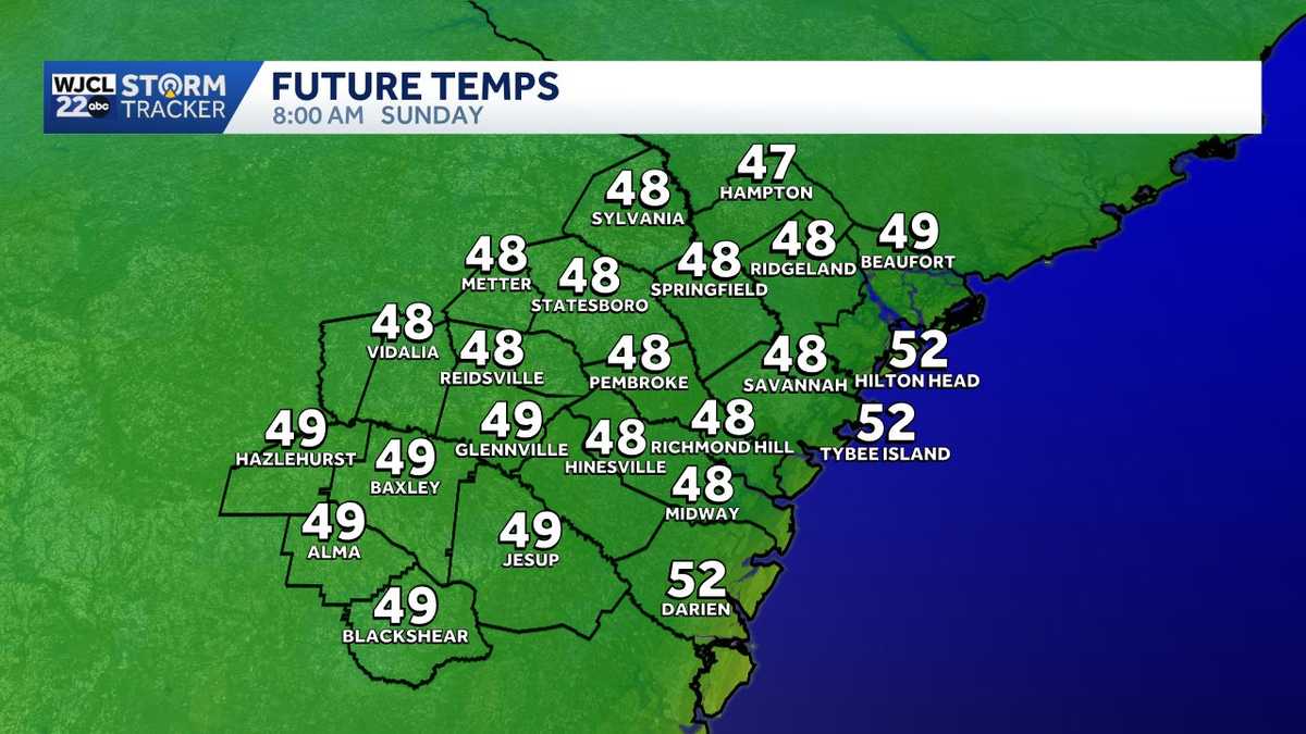 Coolest temperatures of the fall season arrive this weekend across Southeast Georgia, Lowcountry
The coolest temperatures so far this fall season arrive across Southeast Georgia and the Lowcountry this weekend. A strong cold front will push across the Southeastern U.S. on Friday. The front will arrive in the…
-
 Jamie Ertle’s First Alert Forecast for Oct. 15, 2026
SAVANNAH, Ga. (WTOC) - Another day in the upper 80s (officially 88°) for the high. Above normal temperatures and dry conditions continue through Friday. A strong cold front will pass Friday overnight. Expect gusty winds…
-
 Jamie Ertle’s First Alert forecast for Oct. 14, 2026
SAVANNAH, Ga. (WTOC) - We tied a high temperature of 88°, last reached in 2024, 1995, and 1985. Above normal temperatures and dry conditions continue through Friday. A strong cold front will pass Friday overnight…
-
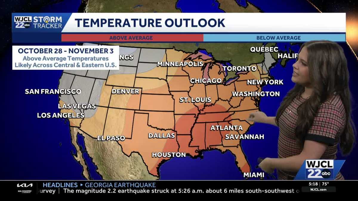 Comfortable conditions continue across Southeast Georgia and the Lowcountry
WJCL A look at the chilly mornings ahead and nice afternoon highs Temperatures drop overnight Tuesday into Wednesday with lows Wednesday morning in the 40s and 50s across Southeast Georgia and the Lowcountry. Have a…
-
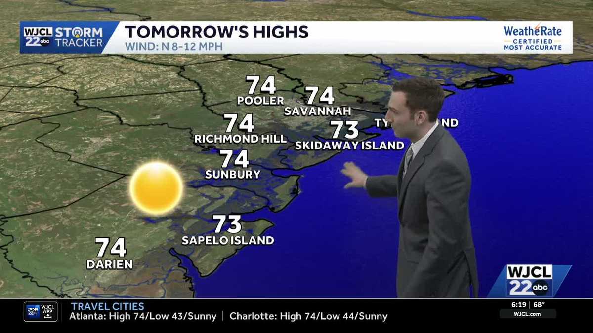 Sunshine stays in the forecast for Southeast Georgia & the Lowcountry this week
WJCL Tuesday morning will feature a clear & cold start with lows in the 40s across Southeast Georgia & the Lowcountry Similar to the start of the work week, there will be plenty of sunshine during the day, but a light…
-
 🔥 High fire danger today in Cobb County and North Georgia
Relative humidity could fall to 30% or lower for at least four hours, with northeast winds of 5 to 10 mph. Dry vegetation and low humidity will increase the risk of fires spreading. Residents should check with local…
-
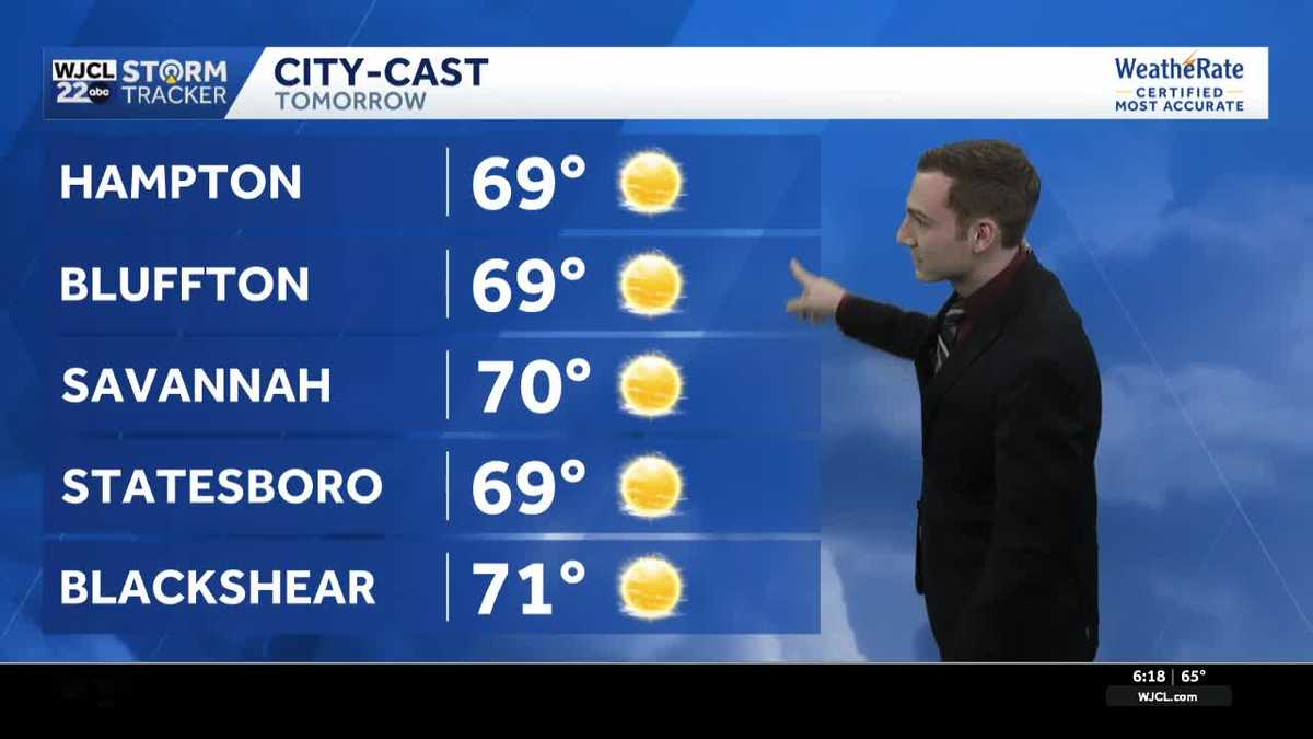 Chilly mornings & pleasant afternoons continue across Southeast Georgia & the Lowcountry this week
WJCL Monday will feature another chilly start as you head out the door with lows in the upper 40 - low 50s & a light northeasterly breeze to go along, so make sure to grab a jacket. There is still a lot of dry air in…
-
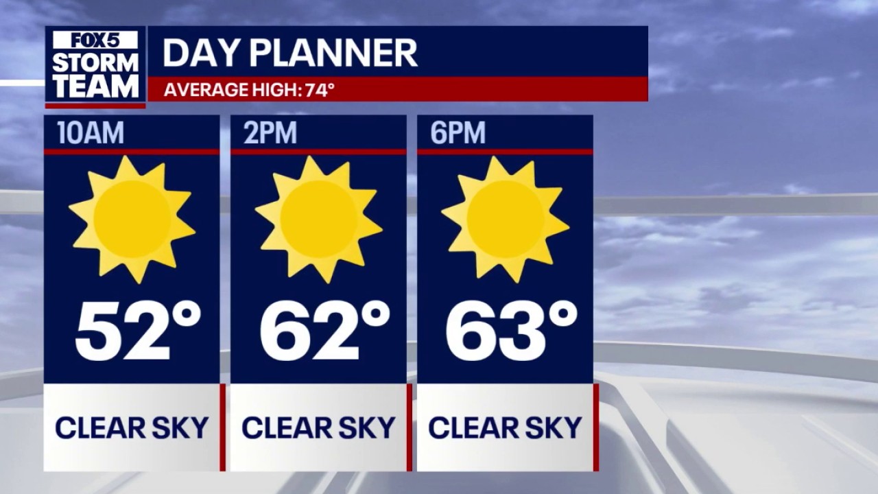 Crisp fall weather & 70s warming trend for North Georgia
FOX 5 Atlanta Lows dipped into the 30s across mountain communities and North Georgia overnight, with Atlanta starting near 50 degrees accompanied by 18 mph northeasterly winds. Daytime highs remain below seasonal…
Air quality
Acceptable. Unusually sensitive people should consider limiting prolonged outdoor exertion.
Savannah, GA reporting area · 1 hr ago. Data from AirNow (EPA and its state, local and tribal partners); preliminary and subject to change.
Sun & moon
Almanac
MonthlyBrooklet 1 W, records since 1925. Normals 1991–2020. Data from NOAA's Regional Climate Centers (ACIS).
Nearby
- Rincon 53 km
- Swainsboro 55 km
- Glennville 58 km
- Lyons 58 km
- Metter 27 km
- Millen 44 km
- Springfield 44 km
- Bloomingdale 56 km
- Reidsville 51 km
- Sylvania 37 km
- Pembroke 37 km
- Claxton 33 km
Forecasters' discussion
From the National Weather Service office in CHS, issued 4 hrs ago
What Has Changed
Former Key Message 2 has been removed as the High Rip Current Risk has expired, and the aviation section has been updated.
Key Messages
- 1) Below normal temperatures this week as high pressure prevails and a powerful nor'easter meanders off the Mid- Atlantic coast.
- 2) The highest astronomical tides of 2026, combined with near gale force northeast winds, will bring a multi-day coastal flooding threat to SE GA and SC Lowcountry this weekend, with elevated water levels lingering through most of next week.
Discussion
KEY MESSAGE 1: Below normal temperatures this week as high pressure prevails and a powerful nor'easter meanders off the Mid-Atlantic coast.
Surface dewpoints have mixed to around 40 degrees across the forecast area this afternoon. The clear and dry conditions will remain across the forecast area through early this evening. During the mid to late evening, thin mid and high clouds sourced from over the southern Appalachians will drift over the SC Lowcountry later this evening through the overnight hours. The sky across SE GA should remain mostly clear. Given thin cloud cover, light winds, and dry conditions, low temperatures should favor the cooler MOS solutions. Min temperatures are forecast to range from the mid 40s inland to the 50s across the beaches.
Wednesday through Thursday: A nor'easter will be positioned well off the coast of the Mid-Atlantic states Wednesday morning. It will slowly meander slightly further away from the Mid-Atlantic states into Thursday evening. Across the southeastern states high pressure will hold strong both days, centered over the Great Lakes. The prevailing high pressure will yield dry and sunny conditions over the local forecast area with high temperatures in the 70s. Overnight both Wednesday and Thursday nights winds are forecast to go light to calm, resulting in prime radiational cooling conditions. Lows both nights will be several degrees below normal, with lows bottoming out in the mid 40s inland and low 50s along the beaches.
Friday through Monday: With the nor'easter drifting further away from the Mid-Atlantic states, high pressure will begin to build in stronger over the Mid-Atlantic states. Along with the building high pressure, a coastal trough is forecast to develop along the Southeastern coastline. This will yield gusty NE winds across the forecast area, especially along the coast. The advection of cooler air resulting from the NE flow will keep temperatures below normal through the weekend and into early next week.
KEY MESSAGE 2: The highest astronomical tides of 2026, combined with near gale force northeast winds, will bring a multi-day coastal flooding threat to SE GA and SC Lowcountry this weekend, with elevated water levels lingering through most of next week.
Tidal departures will begin to increase as northeast winds strengthen along the coast on Saturday. Minor to moderate coastal flooding is possible for Charleston and coastal Colleton counties Saturday evening. Winds are forecast to strengthen to near gale force on Sunday. Moderate to major coastal flooding is possible for Charleston and Colleton counties, with moderate coastal flooding possible along the southern SC and GA coastlines.
Aviation
No aviation concerns as northerly winds weaken tonight, with 5 to 10 knot north-northeasterly winds expected for Wednesday.
Extended Aviation Outlook: Gusty NE winds upwards of 25 knots are forecast on Saturday.
Forecasts, observations and alerts in the United States come from the National Weather Service (NOAA); radar from NOAA's Multi-Radar Multi-Sensor system; satellite imagery from NASA's Global Imagery Browse Services (GIBS) and NOAA's GOES satellites; the map from the U.S. Geological Survey's National Map; air quality from AirNow (EPA and its partners); hurricane information from the National Hurricane Center; climate normals and records from NOAA's Regional Climate Centers (ACIS). Forecasts outside the United States and the UV index: MET Norway (CC BY 4.0); observations outside the U.S.: airport reports via NOAA's Aviation Weather Center. Place names: GeoNames (CC BY 4.0). Data are copied on a schedule and may lag the sources; for warnings that affect your safety, follow your local National Weather Service office and emergency officials. Weather news is drawn from the 4Conservative index and reflects what the press published. Terms of use.