Install
Louisville, GA 30434 Weather
Current conditions
Forecast for this hour (no station report in the last two hours)
Forecast
10-day-
Saturday
Sunny, with a high near 71. Northeast wind 5 to 10 mph, with gusts as high as 25 mph.
-
Saturday Night
Mostly clear, with a low around 46. Northeast wind 5 to 10 mph, with gusts as high as 20 mph.
-
Sunday
Sunny, with a high near 73.
National Weather Service forecast updated 1 day ago.
Hourly
Hourly forecast- Now64°
- 1 PM68°
- 2 PM70°
- 3 PM70°
- 4 PM71°
- 5 PM71°
- 6 PM70°
- 7 PM66°
- 8 PM59°
- 9 PM56°
- 10 PM54°
- 11 PM52°
- Sun12 AM52°
- 1 AM51°
- 2 AM51°
- 3 AM50°
- 4 AM49°
- 5 AM48°
- 6 AM46°
- 7 AM46°
- 8 AM47°
- 9 AM51°
- 10 AM56°
- 11 AM61°
10-day forecast
Details- TonightOct 22Clear45°
- FriOct 23Sunny46°72°
- TodayOct 24Sunny46°71°
- SunOct 25Sunny45°73°
- MonOct 26Sunny40°73°
- TueOct 27Sunny42°75°
- WedOct 28Mostly Sunny45°73°
- ThuOct 29Mostly Sunny75°
- FriOct 30Cloudy60°78°
- SatOct 31Rain0.21 in62°77°
Days after the National Weather Service's seven are MET Norway's outlook, a computer model with no forecaster's review.
Radar
Full mapWeather news in Georgia
More weather news-
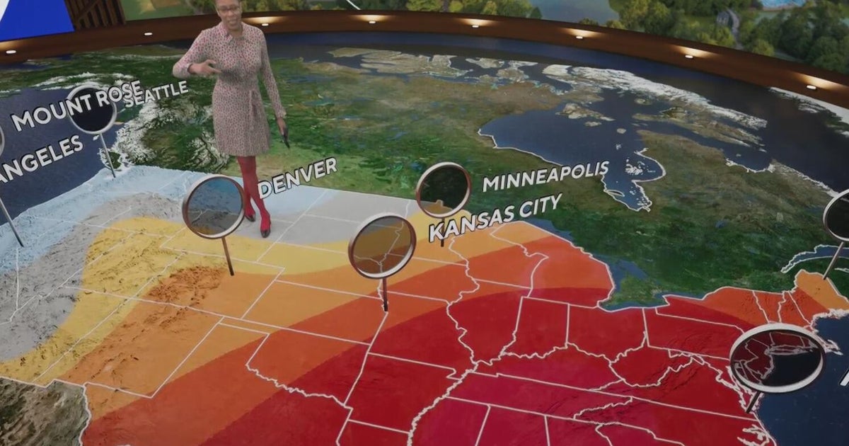 Fall weather in full force across Georgia this weekend
CBS News Atlanta is a local news organization that is part of CBS News and Stations. Also referred to as WUPA and channel 69, CBS News Atlanta offers local breaking news, weather coverage and investigative reporting…
-
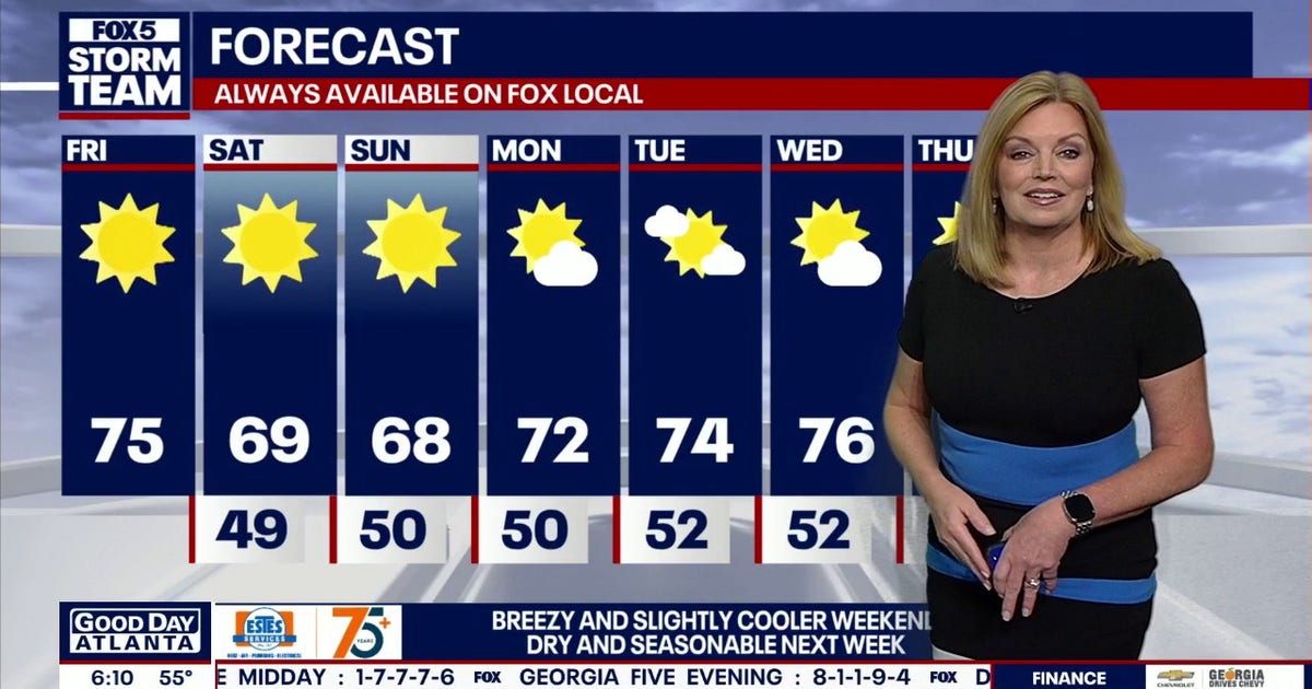 North Georgia forecast: Sunny weekend, fall colors nearing peak
Atlanta starts Friday at 55 degrees, with temperatures expected to reach 72 by 4 p.m. Clear, dry weather will continue through the weekend, though breezy conditions should keep highs below 70 on Saturday and Sunday…
- Wind picks up this weekend with an eye on the tides for Coastal Georgia, Lowcountry
Friday is set to start off cool with lows in the 40s to around 50 degrees. A mild afternoon can be expected with highs in the 70s. Gusty winds arrive to start the weekend with gusts of 20-25+ mph expected, highest at…
-
 High fire danger in Cobb and much of Georgia Thursday
The National Weather Service issued a special weather statement for north and central Georgia for Thursday, Oct. 22. Weather reports can be packed with unfamiliar terms. Our plain-English guide to understanding weather…
-
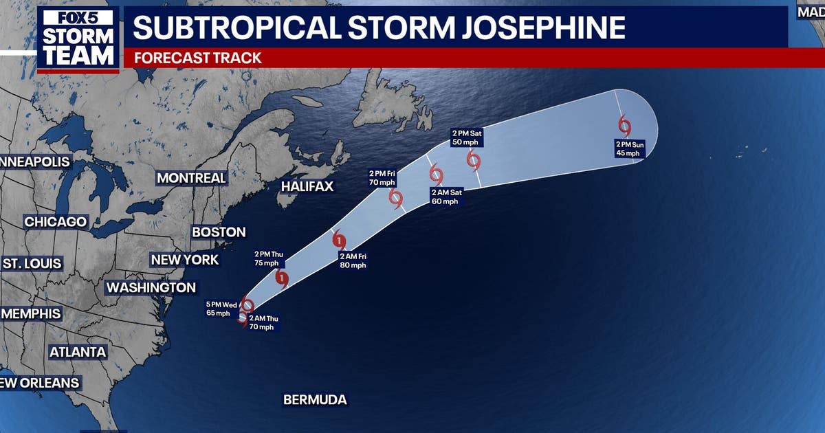 Subtropical storm Josephine forms in Atlantic: What it means for north Georgia
ATLANTA - Subtropical Storm Josephine formed Wednesday afternoon off the East Coast, becoming the latest named storm of the Atlantic hurricane season. As of 5 p.m. Wednesday, Josephine was located about 265 miles south…
-
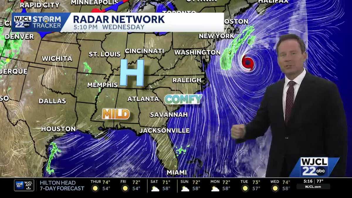 New tropical system forms & the latest on the weekend forecast for Southeast Georgia, Lowcountry
Dry weather with lots of sunshine continues this week. The next change in the weather arrives Friday into Saturday as northeast winds pick up. Wind gusts may top 30 mph at the coast to start the weekend with inland…
-
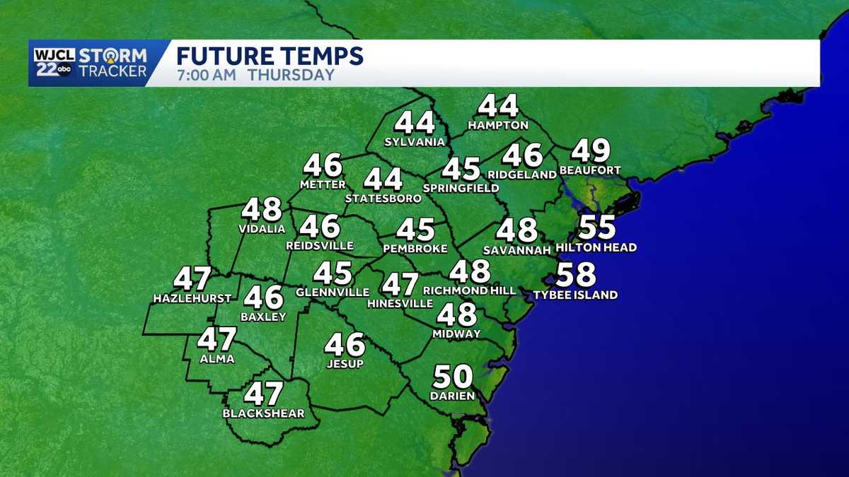 Quick temperature swings give way to a breezy start to the weekend in Southeast Georgia, Lowcountry
Cool mornings and mild afternoons remain in the forecast through the end of this week. Temperatures will once again start off chilly inland on Thursday with lows in the 40s! Grab an extra layer before leaving home…
- High fire danger expected across much of Georgia Wednesday
Cobb County and most of north and central Georgia face high fire danger Wednesday afternoon into the evening, Oct. 21, according to a special weather statement issued by the National Weather Service. Relative humidity…
-
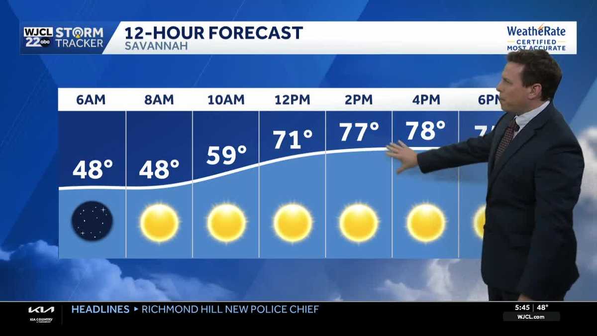 Sunny skies and pleasant fall weather continue across Southeast Georgia and the Lowcountry
Sunshine and pleasantly mild temperatures through the end of the workweek Savannah, Ga. (WJCL)- There will be sunny skies throughout the day with temperatures a few degrees milder this afternoon. Highs will be in the…
-
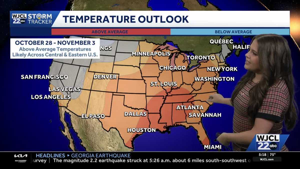 Comfortable conditions continue across Southeast Georgia and the Lowcountry
WJCL A look at the chilly mornings ahead and nice afternoon highs Temperatures drop overnight Tuesday into Wednesday with lows Wednesday morning in the 40s and 50s across Southeast Georgia and the Lowcountry. Have a…
Air quality
Air quality is satisfactory, and air pollution poses little or no risk.
Aiken-Augusta - SC and GA, SC reporting area · 1 hr ago. Data from AirNow (EPA and its state, local and tribal partners); preliminary and subject to change.
Sun & moon
Almanac
MonthlyLouisville 1 E, records since 1893. Normals 1991–2020. Data from NOAA's Regional Climate Centers (ACIS).
Nearby
- Grovetown 51 km
- Swainsboro 47 km
- Thomson 52 km
- Sandersville 40 km
- Waynesboro 35 km
- Hephzibah 43 km
- Wrightsville 45 km
- Harlem 45 km
- Millen 47 km
- West Warrenton 52 km
- Firing Range 55 km
- Wrens 21 km
Forecasters' discussion
From the National Weather Service office in FFC, issued 5 hrs ago
Key Messages
- Breezy conditions are expected through the evening.
- Rain-free conditions and near-seasonal temperatures will remain for the next 7 days, with a slight cool-down Saturday through early next week.
Short Term
(Today through Sunday) Issued at 334 AM EDT Sat Oct 24 2026
As ridging continues over the central CONUS and shifts slightly east, our area will remain in a northerly flow through the weekend. A low pressure system forms off the southeast coast which will allow for air to be funneled into the Appalachians putting our area into a wedge of high pressure. This pressure gradient should result in breezy winds through this afternoon with gusts up to 20-25mph possible, especially over central Georgia. Skies will remain mostly clear with zero rain chances expected through the weekend. Temps will be slightly cooler than normal today with highs in the mid to upper 60s across the area under the influence of the wedge. Dewpoints were lowered a tad through the weekend as the dry airmass stays solidly in place. But with lowered temps RH values will be just above critical thresholds today. Winds will be just outside of critical thresholds as well. This weather pattern should be a rinse and repeat for Sunday. Will need to monitor the potential for patchy frost in the NE GA mountains for Sunday morning.
Long Term
(Sunday night through Friday) Issued at 334 AM EDT Sat Oct 24 2026
Next week will remain dry with temperatures generally on a warming trend, especially by late week. Surface high pressure will remain the dominant feature, keeping things dry through the end of the month. Meanwhile, a persistent ridge aloft will flatten to some degree midweek as a trough sweeps from the Plains into the Upper Mississippi Valley, though the ridge looks to build back over the Southeast by late week.
All of this is to say that mostly sunny and dry conditions will remain the dominant theme through the end of the month. High temperatures will largely remain in the 70s and lows in the 40s to low 50s. Any chance for rainfall will hold off until early November when flow looks to become more southwesterly ahead of a potentially more active pattern, though this remains beyond the end of the current forecast period and details remain highly nebulous.
Aviation
(12Z TAFS) Issued at 627 AM EDT Sat Oct 24 2026
SKC through much of the period with high level cirrus possible towards the end of the period. Winds will be NE to E at 5-10kt with gusts to 20kt possible through the afternoon.
//ATL Confidence...12Z Update... High confidence on all elements.
Hernandez
Forecasts, observations and alerts in the United States come from the National Weather Service (NOAA); radar from NOAA's Multi-Radar Multi-Sensor system; satellite imagery from NASA's Global Imagery Browse Services (GIBS) and NOAA's GOES satellites; the map from the U.S. Geological Survey's National Map; air quality from AirNow (EPA and its partners); hurricane information from the National Hurricane Center; climate normals and records from NOAA's Regional Climate Centers (ACIS). Forecasts outside the United States and the UV index: MET Norway (CC BY 4.0); observations outside the U.S.: airport reports via NOAA's Aviation Weather Center. Place names: GeoNames (CC BY 4.0). Data are copied on a schedule and may lag the sources; for warnings that affect your safety, follow your local National Weather Service office and emergency officials. Weather news is drawn from the 4Conservative index and reflects what the press published. Terms of use.